Hanging Wood

Wood, Forest in Hertfordshire St. Albans

England

Hanging Wood

Toms Lane, Kings Langley Toms Lane approaching a double-bend, as it heads out of Kings Langley.
Toms Lane, Kings Langley Credit: Malc McDonald

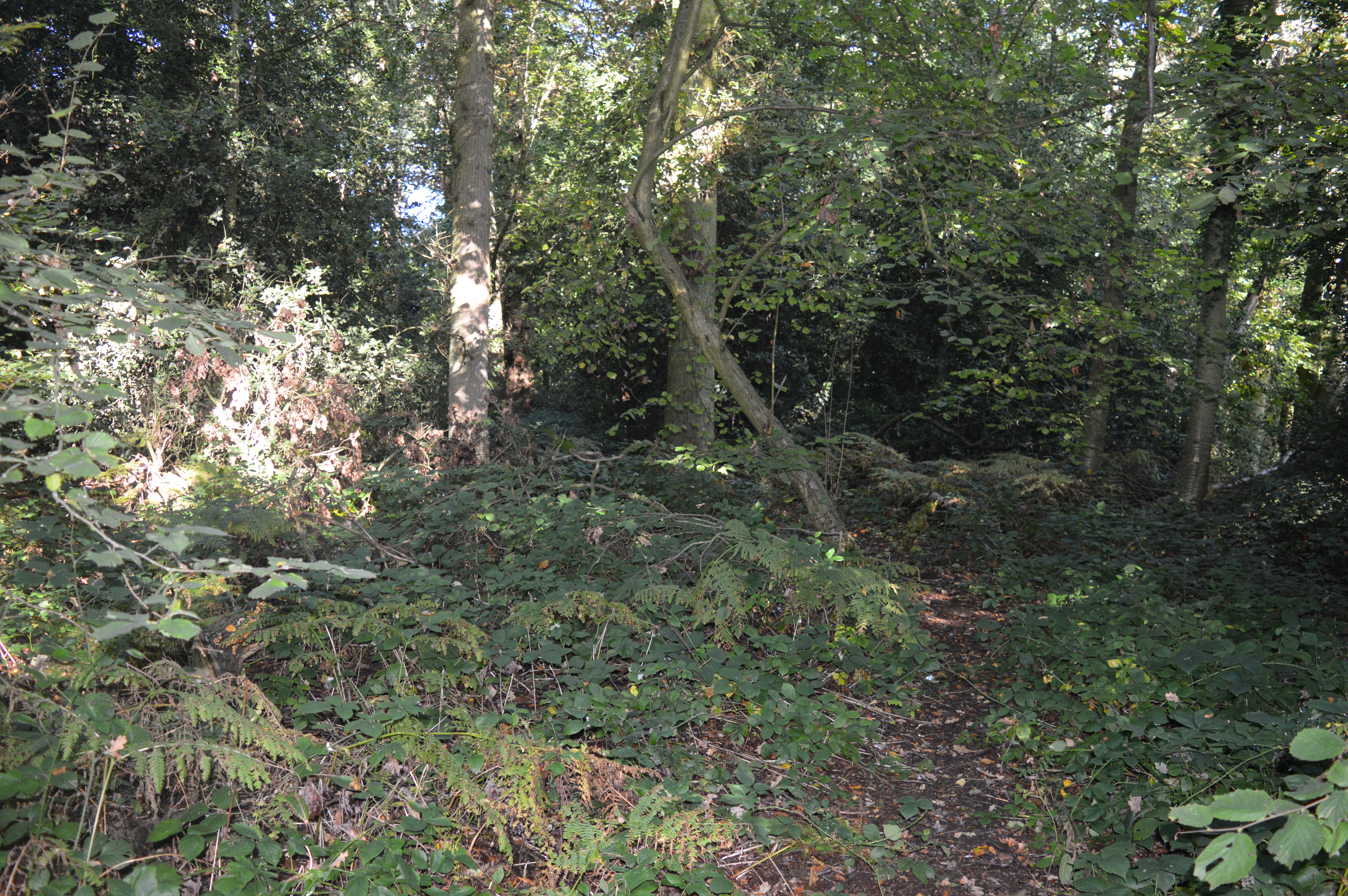
Hanging Wood is a picturesque forest located in Hertfordshire, England. Covering an area of approximately 100 acres, it is a popular destination for nature enthusiasts and hikers alike. The wood is primarily composed of a variety of tree species, including oak, beech, and ash, which create a dense and vibrant canopy overhead.

One of the notable features of Hanging Wood is its tranquil and serene atmosphere. The forest offers a peaceful escape from the hustle and bustle of nearby towns and cities. As visitors stroll along the well-maintained paths, they can immerse themselves in the natural beauty of the surroundings, listening to the gentle rustling of leaves and birdsong.

The wood is also home to a diverse range of wildlife. Squirrels can often be spotted darting among the branches, while the occasional deer can be seen grazing in the clearings. Birdwatchers will delight in the various species that inhabit the area, including woodpeckers, thrushes, and owls.

For those seeking more active pursuits, Hanging Wood offers several walking trails of varying lengths and difficulties. These trails provide an opportunity to explore the woodland in greater depth, discovering hidden glades and ancient trees along the way. Additionally, the wood is equipped with picnic areas, making it a perfect spot for a leisurely lunch surrounded by nature.

Hanging Wood is a cherished natural gem in Hertfordshire, offering a peaceful retreat and an opportunity to connect with the beauty of the natural world. Whether visitors are looking for a refreshing hike or simply a place to unwind, this forest is sure to captivate and inspire.

If you have any feedback on the listing, please let us know in the comments section below.

Hanging Wood Images

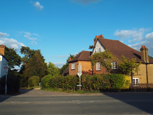
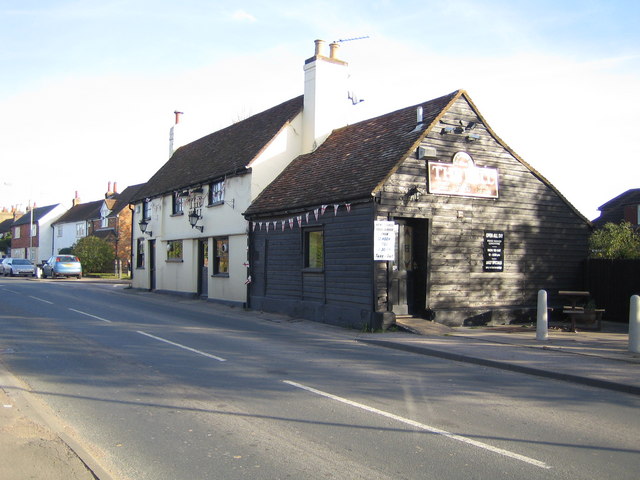
Images are sourced within 2km of 51.721578/-0.39969077 or Grid Reference TL1003. Thanks to Geograph Open Source API. All images are credited.

Toms Lane, Kings Langley Toms Lane approaching a double-bend, as it heads out of Kings Langley.
Toms Lane, Kings Langley
Toms Lane approaching a double-bend, as it heads out of Kings Langley.
Toms Lane, Kings Langley
Toms Lane, Bedmond Toms Lane approaching the centre of Bedmond, a village in west Hertfordshire.
Toms Lane, Bedmond
Toms Lane approaching the centre of Bedmond, a village in west Hertfordshire.
Millhouse Lane, Bedmond
Church of the Ascension, Bedmond The Church of the Ascension in Bedmond is a prefabricated building.  According to the BBC website <span class="nowrap"><a title="http://www.bbc.co.uk/news/uk-england-beds-bucks-herts-12580526" rel="nofollow ugc noopener" href="http://www.bbc.co.uk/news/uk-england-beds-bucks-herts-12580526">Link</a><img style="margin-left:2px;" alt="External link" title="External link - shift click to open in new window" src="https://s1.geograph.org.uk/img/external.png" width="10" height="10"/></span> it is one of only two such churches in the country.

The church is situated on the corner of Church Hill and Sergehill Lane.
Church of the Ascension, Bedmond
The Church of the Ascension in Bedmond is a prefabricated building. According to the BBC website LinkExternal link it is one of only two such churches in the country. The church is situated on the corner of Church Hill and Sergehill Lane.
Church Hill, Bedmond Church Hill entering the Hertfordshire village of Bedmond.
Church Hill, Bedmond
Church Hill entering the Hertfordshire village of Bedmond.
Sergehill Lane, Bedmond This image was taken late on a September afternoon, as shadows were lengthening.
Sergehill Lane, Bedmond
This image was taken late on a September afternoon, as shadows were lengthening.
Abbots Langley War Memorial and churchyard
St Lawrence, Abbots Langley
St Lawrence, Abbots Langley - East end
St Lawrence, Abbots Langley - South arcade
St Lawrence, Abbots Langley - North arcade
St Lawrence, Abbots Langley - South chapel
St Lawrence, Abbots Langley - Interior
St Lawrence, Abbots Langley - West end
St Lawrence, Abbots Langley - Stained glass window
Show me another place!

Hanging Wood is located at Grid Ref: TL1003 (Lat: 51.721578, Lng: -0.39969077)

Administrative County: Hertfordshire

District: St. Albans

Police Authority: Hertfordshire

What 3 Words

///taxi.smoke.storms. Near Abbots Langley, Hertfordshire

Related Wikis

Bedmond

Bedmond is a village in the civil parish of Abbots Langley, in the Three Rivers district of Hertfordshire, England. It is located around one mile (1.6...

Longspring Wood

Longspring Wood is a 1.2-hectare (3.0-acre) nature reserve managed by the Herts and Middlesex Wildlife Trust in Kings Langley in Hertfordshire. The main...

Potters Crouch

Potters Crouch is a small hamlet in Hertfordshire, England, south-west of St Albans near Chiswell Green. It is in the civil parish of St Michael. ��2...

Bedmond and Primrose Hill

Bedmond and Primrose Hill is a ward in Three Rivers, in England, the United Kingdom. It is located in south-west Hertfordshire, in the East of England...

Nearby Amenities

Located within 500m of 51.721578,-0.39969077
Serge Hill
Place: hamlet
Lat/Long: 51.7255282/-0.398456
Man Made: utility_pole
Lat/Long: 51.7175462/-0.3995523
Man Made: utility_pole
Lat/Long: 51.7182164/-0.3988353
Man Made: tower
Tower Construction: lattice
Lat/Long: 51.7181511/-0.3986658
Man Made: utility_pole
Lat/Long: 51.7188999/-0.3980997
The data included in this document is from www.openstreetmap.org. The data is made available under ODbL.

Have you been to Hanging Wood?

Leave your review of Hanging Wood below (or comments, questions and feedback).