Piecorner Wood
Wood, Forest in Hertfordshire St. Albans
England
Piecorner Wood
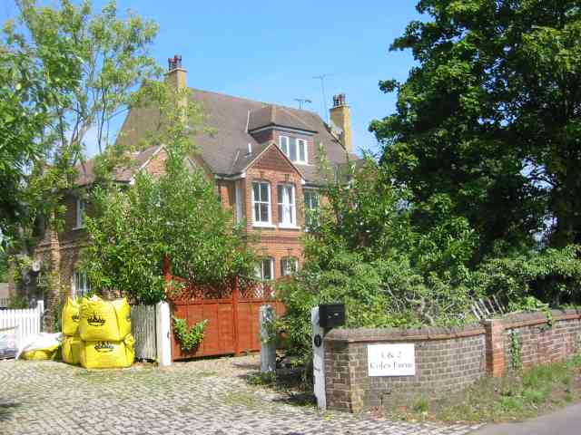
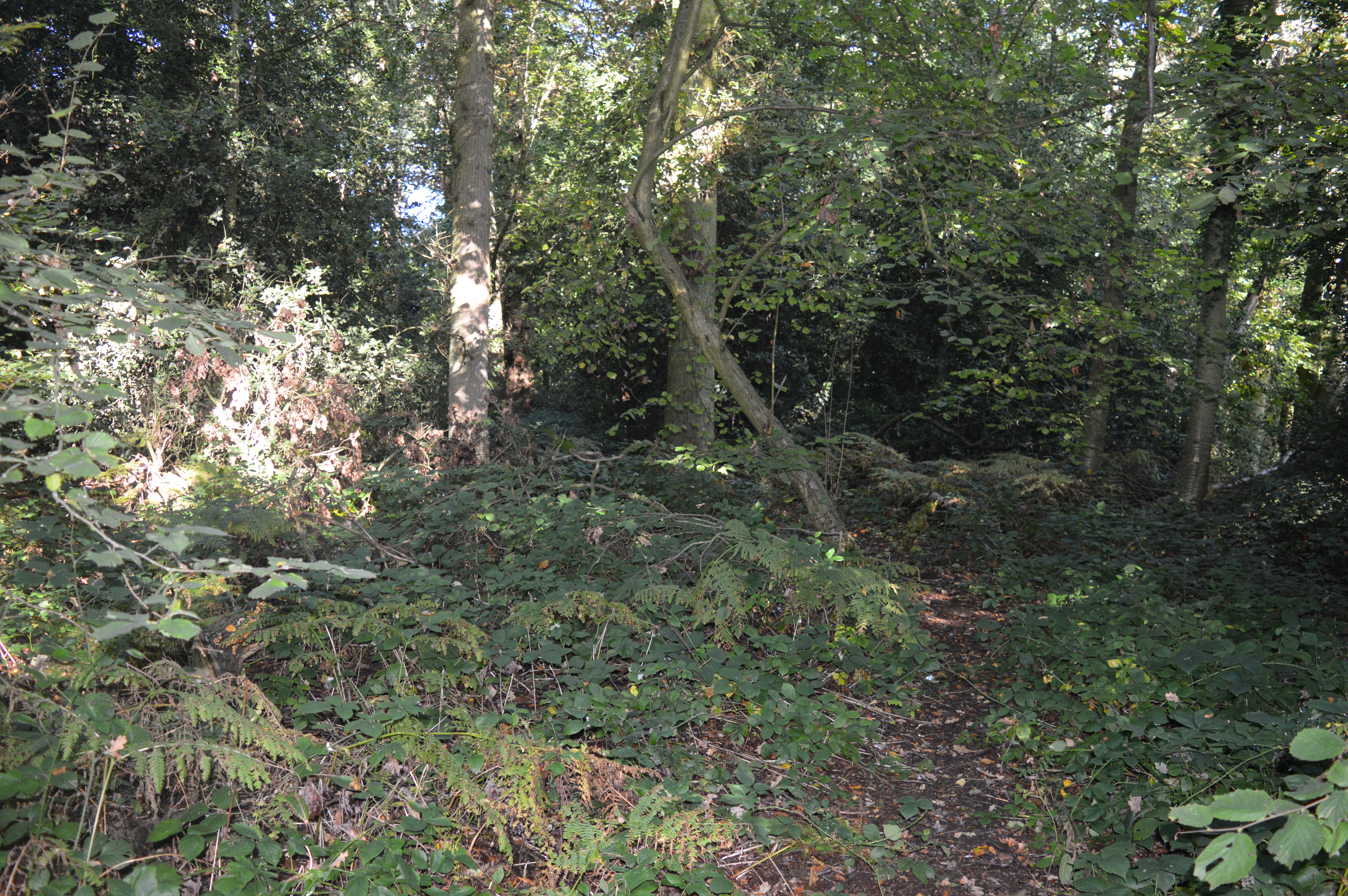
Piecorner Wood is a charming woodland located in Hertfordshire, England. Covering an area of approximately 20 acres, it is nestled in the heart of the county and offers a tranquil escape from the bustling city life. The wood is situated near the village of Hertingfordbury, just a short distance from the town of Hertford.
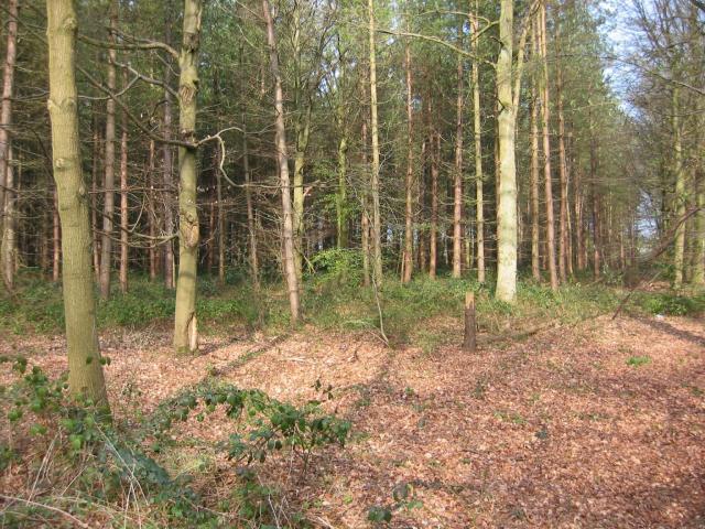
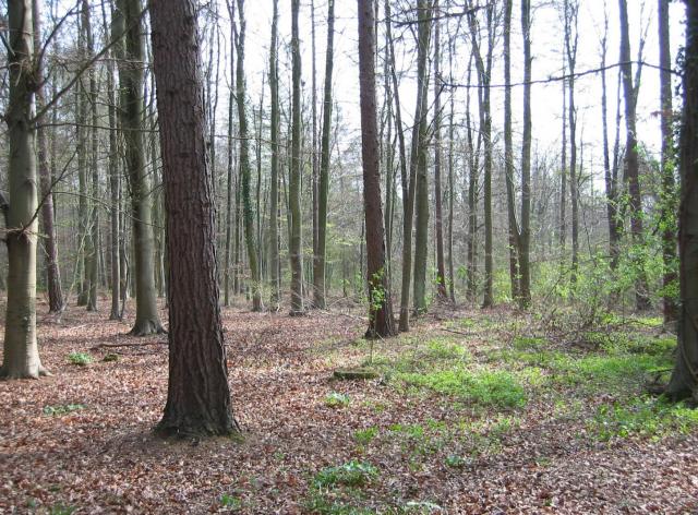
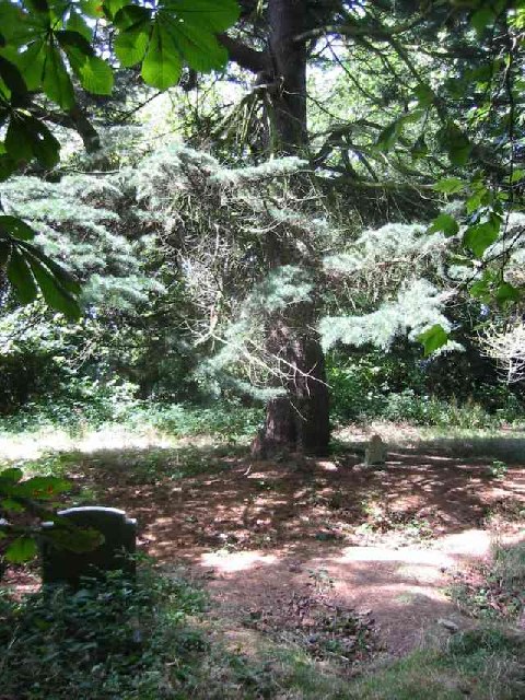
Piecorner Wood is known for its diverse range of tree species, including oak, birch, ash, and beech, which create a rich and vibrant canopy throughout the year. The woodland floor is adorned with an array of wildflowers, adding bursts of color to the landscape. It is also home to a variety of wildlife, such as deer, squirrels, rabbits, and numerous bird species.
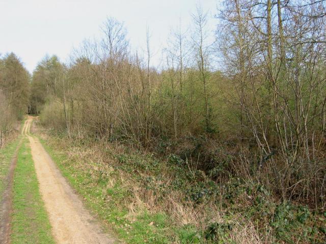
The wood is a popular destination for nature lovers and outdoor enthusiasts, providing ample opportunities for walking, birdwatching, and photography. There are several well-marked trails that wind through the wood, allowing visitors to explore its beauty at their own pace. Additionally, the wood is equipped with benches and picnic areas, making it an ideal spot for a peaceful lunch amidst nature.
Piecorner Wood has a rich history, with evidence of human activity dating back to the Neolithic period. It has been used for various purposes over the centuries, including timber production and charcoal making. Today, it is managed by a local conservation society, ensuring its preservation and protection for future generations to enjoy.
In conclusion, Piecorner Wood is a picturesque woodland in Hertfordshire, offering a serene and scenic retreat from the urban landscape. With its diverse flora and fauna, well-maintained trails, and historical significance, it is a hidden gem for nature enthusiasts and a true delight for anyone seeking solace in the great outdoors.
If you have any feedback on the listing, please let us know in the comments section below.
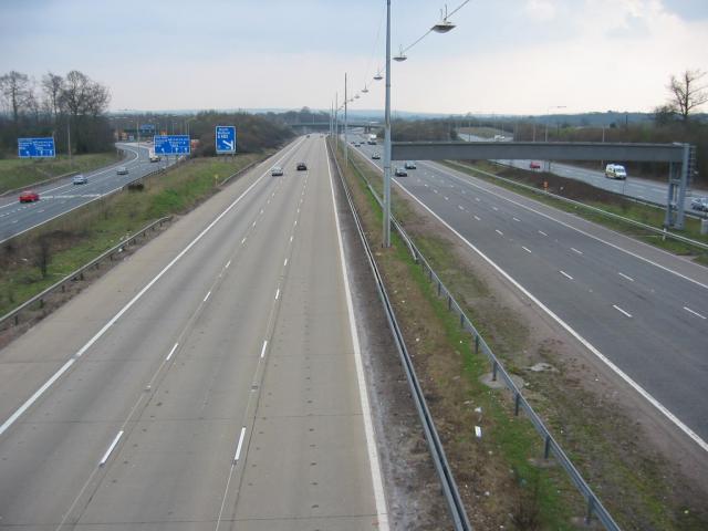
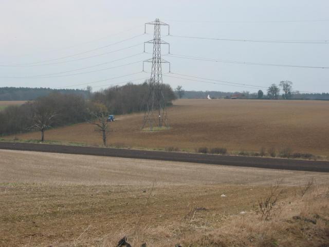
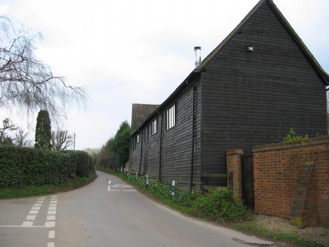
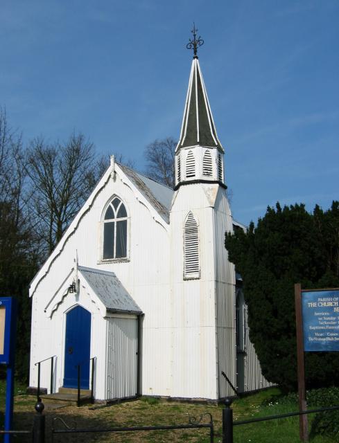
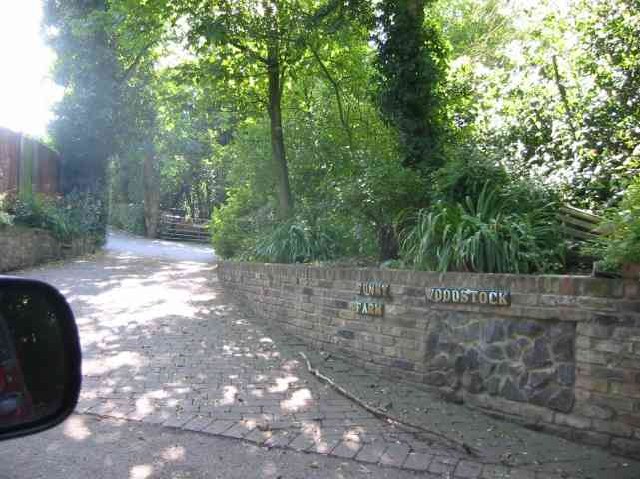
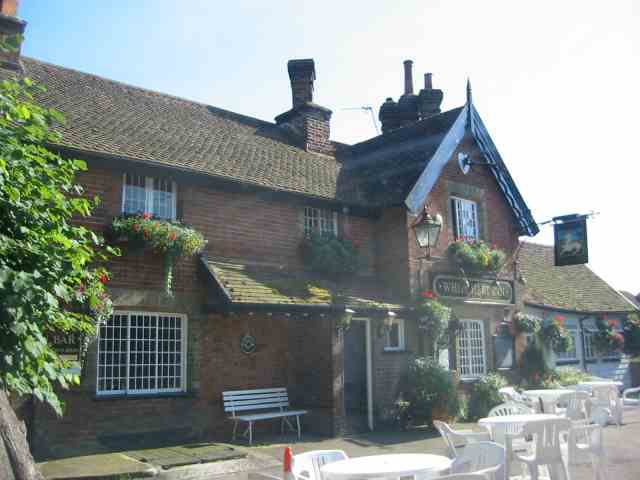
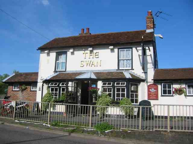
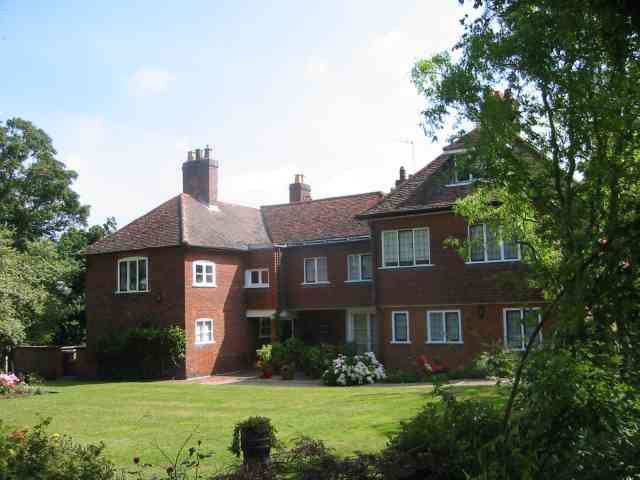
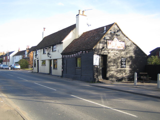
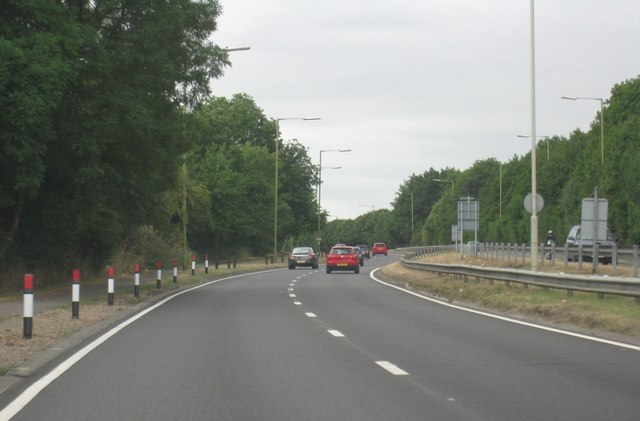
Piecorner Wood Images
Images are sourced within 2km of 51.722203/-0.40595216 or Grid Reference TL1003. Thanks to Geograph Open Source API. All images are credited.


Piecorner Wood is located at Grid Ref: TL1003 (Lat: 51.722203, Lng: -0.40595216)
Administrative County: Hertfordshire
District: St. Albans
Police Authority: Hertfordshire
What 3 Words
///chief.inches.oval. Near Abbots Langley, Hertfordshire
Nearby Locations
Related Wikis
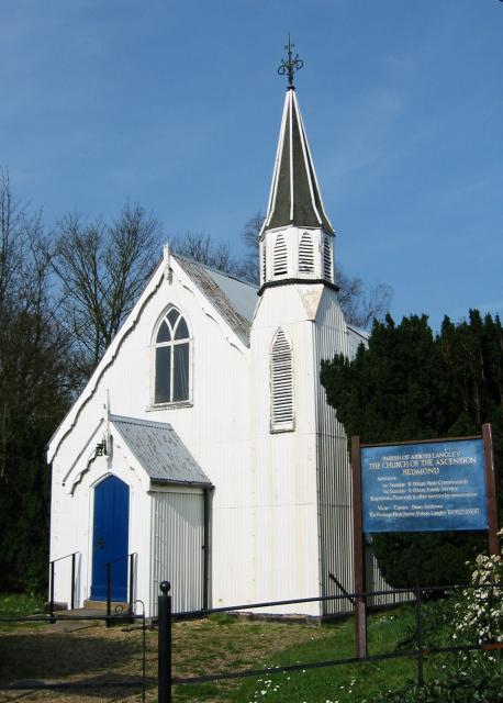
Bedmond
Bedmond is a village in the Three Rivers district of the English ceremonial county of Hertfordshire. It is located around one mile (1.6 km) north of the...
Longspring Wood
Longspring Wood is a 1.2-hectare (3.0-acre) nature reserve managed by the Herts and Middlesex Wildlife Trust in Kings Langley in Hertfordshire.The main...

Bedmond and Primrose Hill
Bedmond and Primrose Hill is a ward in Three Rivers, in England, the United Kingdom. It is located in south-west Hertfordshire, in the East of England...

Potters Crouch
Potters Crouch is a small hamlet in Hertfordshire, England, south-west of St Albans near Chiswell Green. It is in the civil parish of St Michael. ��2...

Leavesden Hospital
Leavesden Mental Hospital was a mental health facility at Leavesden on the outskirts of Abbots Langley in Hertfordshire. == History == The facility was...
International Crown
The Hanwha LifePlus International Crown is a biennial women's professional team golf tournament on the LPGA Tour. Eight national teams of four players...
Centurion Club
The Centurion Club is a golf club in Hemel Hempstead in Hertfordshire. The club opened in 2013. It has hosted the GolfSixes series in 2017 and 2018 and...
A405 road
The A405 is a 4.8 miles (7.7 km) dual carriageway road in Hertfordshire, England, from the A41 at Leavesden Green, near Watford, to the A414 at Park Street...
Related Videos

Walking the Hertfordshire Way - 08
Shenley to Abbots Langley. 11.4 miles. Lovely easy day winding through countryside avoiding Radley, Garston and north Watford ...

Walking the Hertfordshire Way - 09a
Walking the Hertfordshire Way Backwards - 09a Abbots Langley to Bourne End. 9.6 miles. A spring-like walk crossing the M25 ...


walking wat that quiz? light heart entertainment. uplifting your spirits I will let you know at end
brain teasers quiz wats that quiz to uplift your spirits I discovered this on a walk. I will let you know at the end please subscribe to ...
Nearby Amenities
Located within 500m of 51.722203,-0.40595216Have you been to Piecorner Wood?
Leave your review of Piecorner Wood below (or comments, questions and feedback).