Ash Holt

Wood, Forest in Lincolnshire North Kesteven

England

Ash Holt

Grantham Road towards Sleaford
Grantham Road towards Sleaford Credit: Ian S

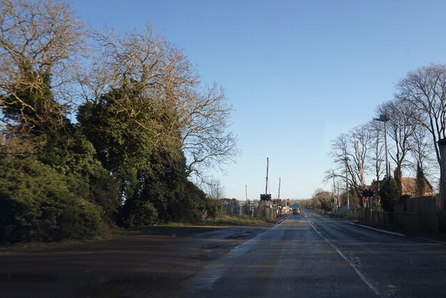
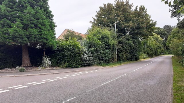
Ash Holt is a small village located in the county of Lincolnshire, England. Situated within the district of North Kesteven, it is surrounded by picturesque woodlands and forests, hence its name. The village is known for its tranquil and idyllic setting, attracting nature enthusiasts and those seeking a peaceful retreat.

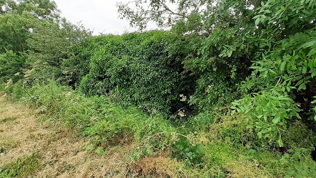
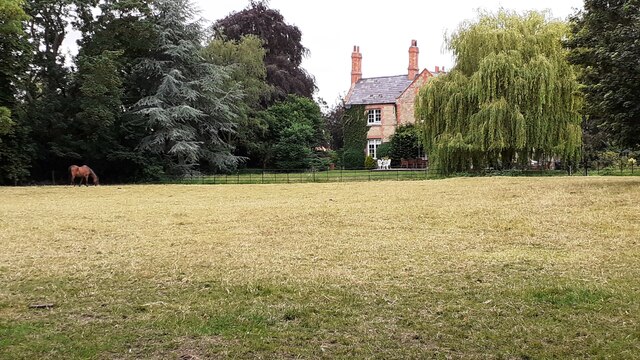
The woodlands surrounding Ash Holt provide a rich ecosystem for various flora and fauna. It is home to a diverse range of tree species, including oak, beech, and birch. The forest area is also inhabited by an array of wildlife, such as deer, foxes, and numerous bird species, making it a popular spot for birdwatching and nature walks.

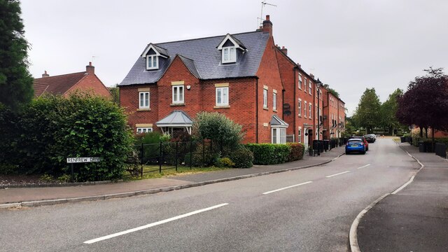
The village itself is small, with a close-knit community of residents. It features a few residential houses, a local pub, and a village hall. The pub serves as a gathering place for locals and visitors alike, offering a warm and friendly atmosphere.

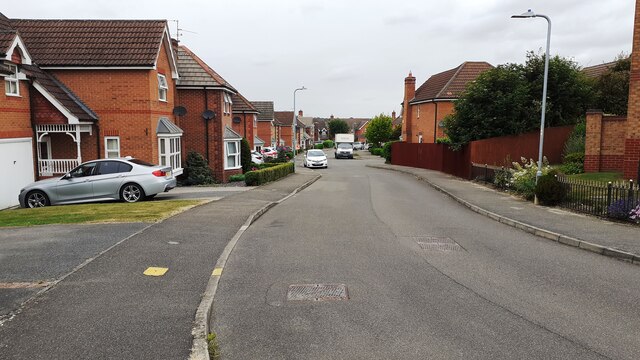
Ash Holt is well-connected to nearby towns and cities, with easy access to transportation routes. The village is a short distance away from the historic city of Lincoln, known for its stunning cathedral and medieval architecture. The nearby town of Sleaford also offers amenities such as shops, schools, and healthcare facilities.

Overall, Ash Holt in Lincolnshire is a charming village surrounded by woodlands and forests, offering a peaceful and scenic setting for residents and visitors to enjoy nature and a sense of community.

If you have any feedback on the listing, please let us know in the comments section below.
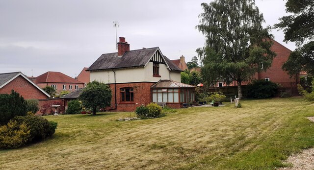
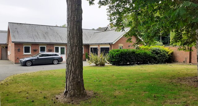
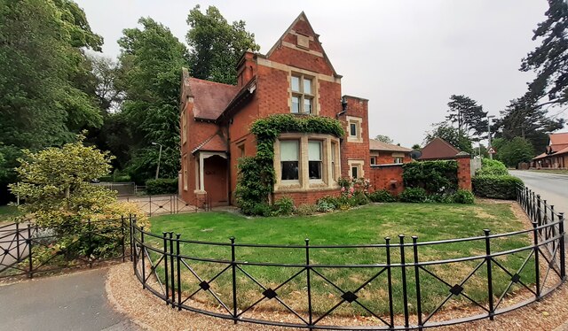
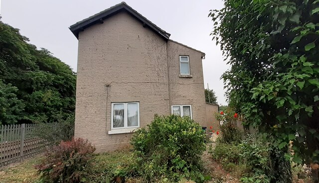
Ash Holt Images

Images are sourced within 2km of 52.996263/-0.4574635 or Grid Reference TF0345. Thanks to Geograph Open Source API. All images are credited.

Grantham Road towards Sleaford
Electricity substation on north side of Grantham Lane opposite Northfield Road Ordnance Survey documents indicate that a benchmark was levelled at 29.780m above Newlyn Datum in 1955 on a telephone exchange, the rendered building behind the substation
Electricity substation on north side of Grantham Lane opposite Northfield Road
Ordnance Survey documents indicate that a benchmark was levelled at 29.780m above Newlyn Datum in 1955 on a telephone exchange, the rendered building behind the substation
Looking northwards along Renfrew Drive from Willoughby Road junction
Looking east along Willoughby Road at Renfrew Drive junction Ordnance Survey documents indicate that a benchmark levelled at 25.759m above Newlyn Datum was verified in 1969 on a gatepost  on the left hand side of the road about 10m from the junction
Looking east along Willoughby Road at Renfrew Drive junction
Ordnance Survey documents indicate that a benchmark levelled at 25.759m above Newlyn Datum was verified in 1969 on a gatepost on the left hand side of the road about 10m from the junction
Detached house with conservatory on north side of Willoughby Road Ordnance Survey documents indicate that a benchmark levelled at 25.330m above Newlyn Datum was verified in 1969 on a farm building (Home Farm) previously on this site, but now demolished
Detached house with conservatory on north side of Willoughby Road
Ordnance Survey documents indicate that a benchmark levelled at 25.330m above Newlyn Datum was verified in 1969 on a farm building (Home Farm) previously on this site, but now demolished
Bungalow on east side of Willoughby Road
Benchmark on West Lodge on east side of Willoughby Road Ordnance Survey cut mark benchmark levelled at 21.930m above Newlyn Datum verified 1969
Benchmark on West Lodge on east side of Willoughby Road
Ordnance Survey cut mark benchmark levelled at 21.930m above Newlyn Datum verified 1969
West Lodge at Kinross Road / Willoughby Road junction There is an Ordnance Survey benchmark <a href="https://www.geograph.org.uk/photo/7530668">TF0343 : Benchmark on West Lodge on east side of Willoughby Road</a>  on the SW corner of the lodge
West Lodge at Kinross Road / Willoughby Road junction
There is an Ordnance Survey benchmark TF0343 : Benchmark on West Lodge on east side of Willoughby Road on the SW corner of the lodge
Rauceby Signal box and Willoughby Road level crossing
Benchmark on house #53 Ordnance Survey cut mark benchmark levelled at 20.831m above Newlyn Datum in 1955 and verified in 1969
Benchmark on house #53
Ordnance Survey cut mark benchmark levelled at 20.831m above Newlyn Datum in 1955 and verified in 1969
House Nos. 52 and 53 at junction of Gantham Road and Rauceby Drove There is an Ordnance Survey benchmark <a href="https://www.geograph.org.uk/photo/7530962">TF0344 : Benchmark on house #53</a> on the near corner of the building (which has an 1852 date stone)  between the right-hand wheelie bin and the black downpipe.
House Nos. 52 and 53 at junction of Gantham Road and Rauceby Drove
There is an Ordnance Survey benchmark TF0344 : Benchmark on house #53 on the near corner of the building (which has an 1852 date stone) between the right-hand wheelie bin and the black downpipe.
Benchmark on Greylees Cottage on south side of Grantham Road Ordnance Survey cut mark benchmark levelled at 20.806m above Newlyn Datum in 1955
Benchmark on Greylees Cottage on south side of Grantham Road
Ordnance Survey cut mark benchmark levelled at 20.806m above Newlyn Datum in 1955
Greylees Cottage, former level crossing keeper's house There is an Ordnance Survey benchmark <a href="https://www.geograph.org.uk/photo/7531009">TF0444 : Benchmark on Greylees Cottage on south side of Grantham Road</a> on the right hand corner of the house
Greylees Cottage, former level crossing keeper's house
There is an Ordnance Survey benchmark TF0444 : Benchmark on Greylees Cottage on south side of Grantham Road on the right hand corner of the house
Quarrington Level Crossing for Grantham Road (A153) across railway
Benchmark on small ivy clad building on south side of Grantham Road Ordnance Survey cut mark benchmark levelled at 20.652m above Newlyn Datum in 1955 and verified in 1970
Benchmark on small ivy clad building on south side of Grantham Road
Ordnance Survey cut mark benchmark levelled at 20.652m above Newlyn Datum in 1955 and verified in 1970
Ivy-clad building in corner of field on south side of Grantham Road There is an Ordnance Survey benchmark <a href="https://www.geograph.org.uk/photo/7531084">TF0444 : Benchmark on small ivy clad building on south side of Grantham Road</a>  on the near corner of the building
Ivy-clad building in corner of field on south side of Grantham Road
There is an Ordnance Survey benchmark TF0444 : Benchmark on small ivy clad building on south side of Grantham Road on the near corner of the building
View down Hood Close
View of #5 Northfield Road across field with horse
Show me another place!

Ash Holt is located at Grid Ref: TF0345 (Lat: 52.996263, Lng: -0.4574635)

Administrative County: Lincolnshire

District: North Kesteven

Police Authority: Lincolnshire

What 3 Words

///deeds.chatters.bars. Near Sleaford, Lincolnshire

Related Wikis

South Rauceby Hall

South Rauceby Hall, South Rauceby, Lincolnshire, England is a country house dating from the mid-19th century. It was designed by William Burn in 1842 for...

South Rauceby

South Rauceby is a village and civil parish in the North Kesteven district of Lincolnshire, England. It is situated 2.5 miles (4.0 km) west from Sleaford...

Rauceby railway station

Rauceby railway station is a station near the town of Sleaford, Lincolnshire, England, lying close to the western border of the Parish of Old Sleaford...

Rauceby Hospital

Rauceby Hospital, originally called Kesteven County Asylum, is a now-defunct mental institution in the parish of Quarrington, Lincolnshire, England. Originally...

Nearby Amenities

Located within 500m of 52.996263,-0.4574635
Hall Farm
Place: farm
Source: Bing
Lat/Long: 52.9987038/-0.4623453
Man Made: water_well
Lat/Long: 52.9978676/-0.4624152
The data included in this document is from www.openstreetmap.org. The data is made available under ODbL.

Have you been to Ash Holt?

Leave your review of Ash Holt below (or comments, questions and feedback).