Dedmansey Wood

Wood, Forest in Bedfordshire

England

Dedmansey Wood

Byslips Road Towards Dunstable.
Byslips Road Credit: Robin Webster

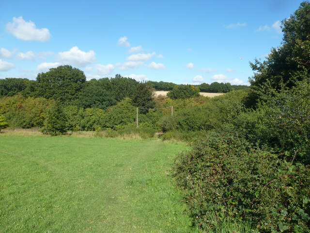
Dedmansey Wood is a picturesque woodland located in the county of Bedfordshire, England. Covering an area of approximately 50 acres, it is a popular destination for nature enthusiasts and those seeking tranquility amidst the natural beauty of the region.

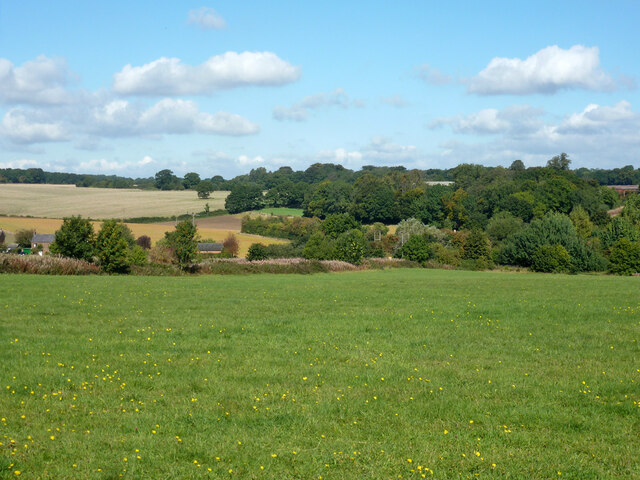
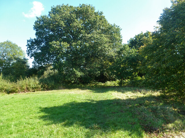
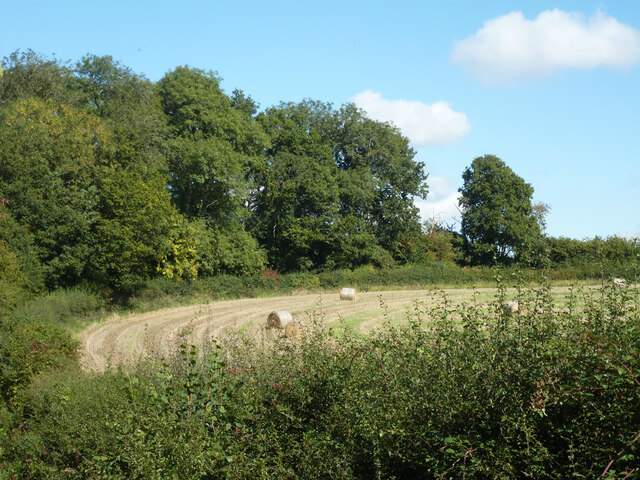
The woodland is characterized by its diverse range of trees, including oak, ash, beech, and birch, which create a vibrant and ever-changing landscape throughout the seasons. The canopy overhead provides a sheltered habitat for a variety of bird species, such as woodpeckers, nuthatches, and tawny owls, making it a haven for birdwatchers.

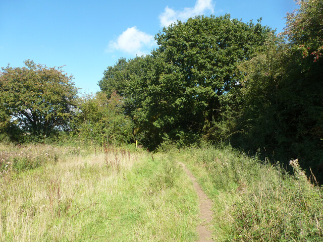
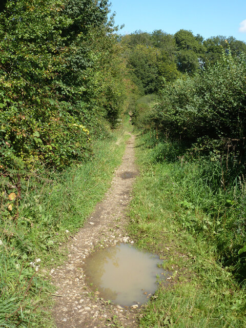
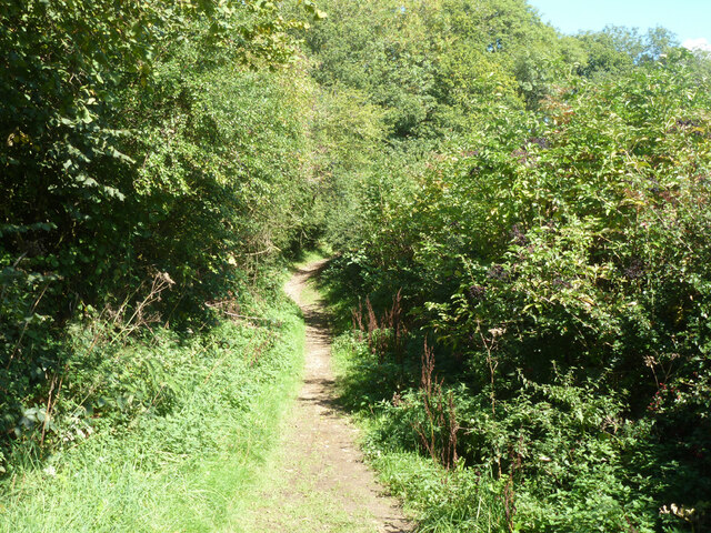
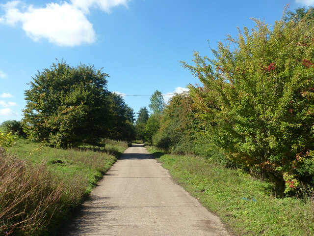
Tranquil walking trails wind their way through the wood, allowing visitors to explore its enchanting surroundings. The paths meander through sun-dappled clearings and across small streams, providing a sense of peaceful seclusion and an opportunity to immerse oneself in nature.

Dedmansey Wood is also home to a diverse array of wildlife. Squirrels can often be spotted scurrying amongst the branches, while foxes and badgers may be glimpsed darting through the undergrowth. Wildflowers and fungi add splashes of color and interest to the woodland floor, attracting a variety of insect species.

The management of the woodland focuses on conservation and preserving its natural beauty. As such, visitors are encouraged to respect the environment by adhering to designated paths and refraining from littering.

Overall, Dedmansey Wood offers a tranquil retreat for those seeking solace in nature. With its diverse wildlife, stunning foliage, and serene atmosphere, it is a cherished natural gem in the heart of Bedfordshire.

If you have any feedback on the listing, please let us know in the comments section below.

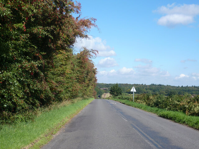
Dedmansey Wood Images

Images are sourced within 2km of 51.839748/-0.49711345 or Grid Reference TL0316. Thanks to Geograph Open Source API. All images are credited.

Byslips Road Towards Dunstable.
Byslips Road
Towards Dunstable.
Studham Common and view north Most of the common is a large area of grassland.
Studham Common and view north
Most of the common is a large area of grassland.
SE corner of Studham Common Public footpaths follow both margins of the common, which has public access anyway.
SE corner of Studham Common
Public footpaths follow both margins of the common, which has public access anyway.
Footpath towards Studham Common The SE corner of the common is beyond the hedge ahead.
Footpath towards Studham Common
The SE corner of the common is beyond the hedge ahead.
NE corner of Studham Common Public footpaths follow both margins of the open common, which has public access anyway.
NE corner of Studham Common
Public footpaths follow both margins of the open common, which has public access anyway.
Studham sewage works Plated on the gate as 'Studham STW  STUDS1ZZ' by Thames Water.
Studham sewage works
Plated on the gate as 'Studham STW STUDS1ZZ' by Thames Water.
Roe End Lane Technically a full public highway of some sort, but in practice a footpath.
Roe End Lane
Technically a full public highway of some sort, but in practice a footpath.
Harvested field corner by Roe End Lane
Roe End Lane Technically a full public highway of some sort, but in practice a footpath.
Roe End Lane
Technically a full public highway of some sort, but in practice a footpath.
Studham sewage works road The access route to Studham sewage works runs along the northern edge of the open part of Studham Common. To the right is a belt of densely wooded common land.
Studham sewage works road
The access route to Studham sewage works runs along the northern edge of the open part of Studham Common. To the right is a belt of densely wooded common land.
Byslips Road heading north Deadmansey Wood on the right.
Byslips Road heading north
Deadmansey Wood on the right.
Holywell Holywell seems to be a new village.  This is typical of the area and it does not appear on the 1940's map.
Holywell
Holywell seems to be a new village. This is typical of the area and it does not appear on the 1940's map.
Red Lion - Studham Nice pint available in here.  (This is not an advert)
Red Lion - Studham
Nice pint available in here. (This is not an advert)
Studham Village Hall On the corner of one of Studham's 3 commons and just across the road from the pub.
Studham Village Hall
On the corner of one of Studham's 3 commons and just across the road from the pub.
Hill Farm Does not appear to be on a particularly noticeable hill.
Hill Farm
Does not appear to be on a particularly noticeable hill.
A very straight footpath across the middle of this square OK.  What it says on the tin.
A very straight footpath across the middle of this square
OK. What it says on the tin.
Over the fields towards Buckwood Lane. Near the road this land has been used for horses.  Here it seems to be plain old meadow.
Over the fields towards Buckwood Lane.
Near the road this land has been used for horses. Here it seems to be plain old meadow.
View from lane towards Gravelpit Wood over farmland This narrow (and muddy) track has the feel of an ancient lane.  The Woods in the distance are not named on the 1940's map but are on the modern OS version.
View from lane towards Gravelpit Wood over farmland
This narrow (and muddy) track has the feel of an ancient lane. The Woods in the distance are not named on the 1940's map but are on the modern OS version.
Show me another place!

Dedmansey Wood is located at Grid Ref: TL0316 (Lat: 51.839748, Lng: -0.49711345)

Unitary Authority: Central Bedfordshire

Police Authority: Bedfordshire

What 3 Words

///gums.inches.image. Near Kensworth, Bedfordshire

Related Wikis

Kensworth

Kensworth is a village and civil parish located in the Central Bedfordshire district of Bedfordshire, England. The parish is located on the edge of Dunstable...

Studham

Studham is a village and civil parish in the county of Bedfordshire. It has a population of 1,182. The parish bounds to the south of the Buckinghamshire...

Holywell, Bedfordshire

Holywell is a hamlet located in the Central Bedfordshire district of Bedfordshire, England. The settlement is close to Whipsnade and Studham, and Holywell...

Church of St Mary, Studham

Church of St Mary is a Grade I listed church in Studham, Bedfordshire, England. It became a listed building on 3 February 1967. == See also == Grade...

Nearby Amenities

Located within 500m of 51.839748,-0.49711345
Created By: osmeditor2
Lat/Long: 51.8418531/-0.4907785
Created By: osmeditor2
Lat/Long: 51.8419781/-0.4918254
Created By: osmeditor2
Lat/Long: 51.8420562/-0.4927785
Created By: osmeditor2
Lat/Long: 51.8421656/-0.4938098
Created By: osmeditor2
Lat/Long: 51.842275/-0.4948723
Created By: osmeditor2
Lat/Long: 51.8423375/-0.4958254
Created By: osmeditor2
Lat/Long: 51.8423375/-0.4967473
Created By: osmeditor2
Lat/Long: 51.8424/-0.4974504
Created By: osmeditor2
Lat/Long: 51.8425406/-0.4986067
Created By: osmeditor2
Lat/Long: 51.8426812/-0.4995442
Created By: osmeditor2
Lat/Long: 51.8427906/-0.5003254
Created By: osmeditor2
Lat/Long: 51.8430875/-0.5015442
Post Box
Collection Times: Mo-Fr 16:00; Sa 07:00
Operator: Royal Mail
Ref: LU6 69
Source: survey
Lat/Long: 51.8394505/-0.5025342
The data included in this document is from www.openstreetmap.org. The data is made available under ODbL.

Have you been to Dedmansey Wood?

Leave your review of Dedmansey Wood below (or comments, questions and feedback).