Fareless Wood

Wood, Forest in Bedfordshire

England

Fareless Wood

Clements End Road Towards Studham.
Clements End Road Credit: Robin Webster

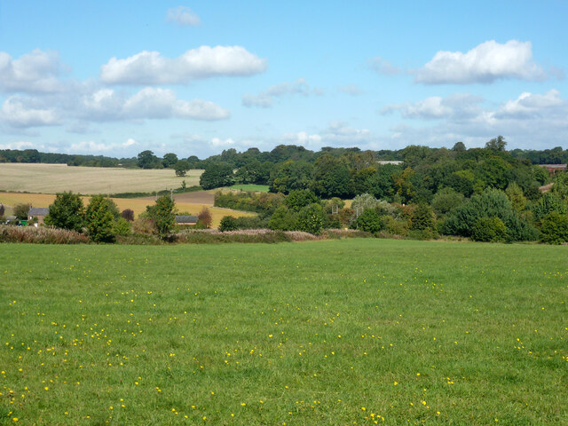
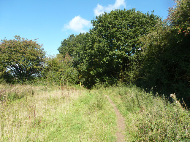
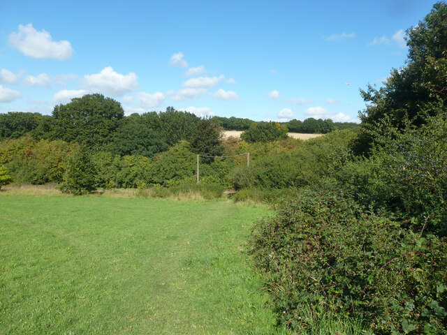
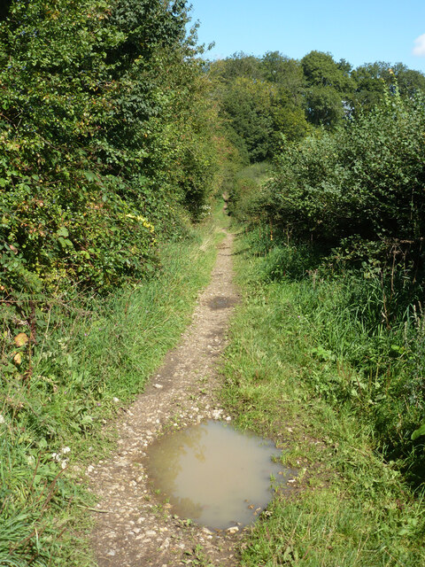
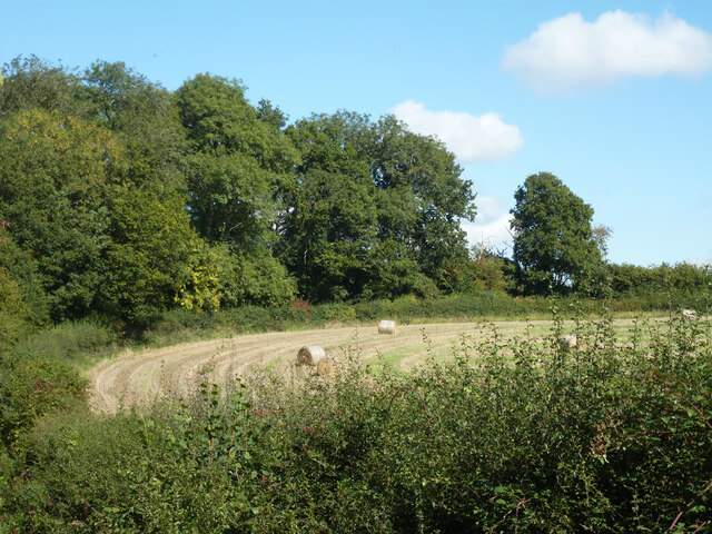
Fareless Wood is a picturesque forest located in the county of Bedfordshire, England. Covering an area of approximately 100 acres, this woodland is a popular destination for nature lovers and outdoor enthusiasts.

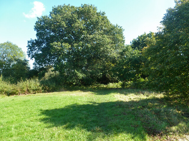
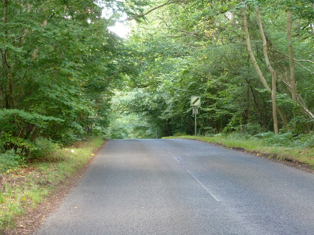
The woodland is characterized by a diverse range of tree species, including oak, beech, and birch, which create a dense and enchanting canopy. The forest floor is covered with a rich carpet of moss, ferns, and wildflowers, adding to its natural beauty. The trees in Fareless Wood are known to be several hundred years old, giving the forest a sense of history and grandeur.

The forest is home to a variety of wildlife, making it an ideal spot for birdwatching and wildlife observation. Visitors may spot a wide range of bird species, including woodpeckers, owls, and thrushes. Additionally, small mammals such as rabbits, squirrels, and foxes can be seen darting through the undergrowth.

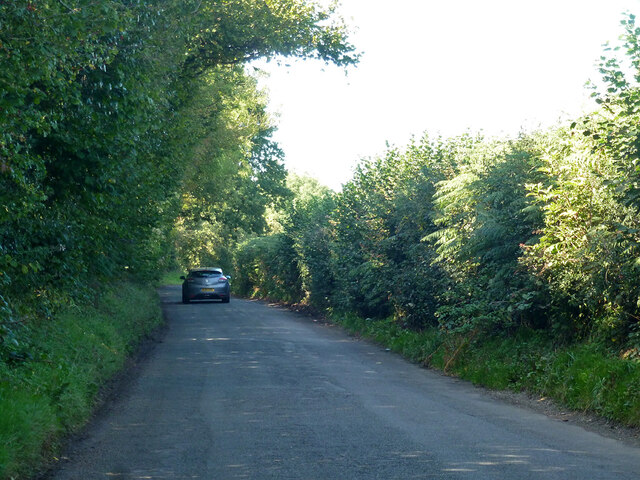
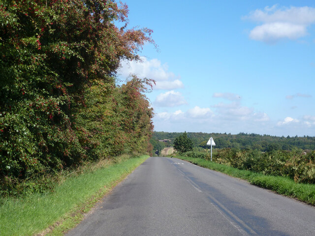
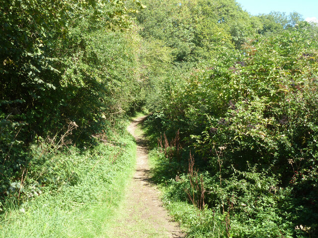
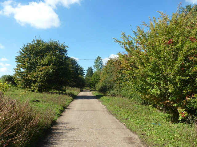
Fareless Wood offers numerous walking trails and footpaths, allowing visitors to explore the forest at their own pace. These paths meander through the woodland, offering glimpses of the surrounding countryside and providing opportunities to discover hidden clearings and tranquil spots.

The forest is managed by the local council, which ensures the preservation of its natural beauty and wildlife. Visitors are encouraged to adhere to the guidelines for responsible forest exploration, including taking only photographs and leaving only footprints.

Overall, Fareless Wood in Bedfordshire is a true gem for nature enthusiasts, offering a serene and captivating experience in the heart of the English countryside.

If you have any feedback on the listing, please let us know in the comments section below.

Fareless Wood Images

Images are sourced within 2km of 51.837304/-0.49440801 or Grid Reference TL0316. Thanks to Geograph Open Source API. All images are credited.

Clements End Road Towards Studham.
Clements End Road
Towards Studham.
Byslips Road Towards Dunstable.
Byslips Road
Towards Dunstable.
Studham Common and view north Most of the common is a large area of grassland.
Studham Common and view north
Most of the common is a large area of grassland.
SE corner of Studham Common Public footpaths follow both margins of the common, which has public access anyway.
SE corner of Studham Common
Public footpaths follow both margins of the common, which has public access anyway.
Footpath towards Studham Common The SE corner of the common is beyond the hedge ahead.
Footpath towards Studham Common
The SE corner of the common is beyond the hedge ahead.
NE corner of Studham Common Public footpaths follow both margins of the open common, which has public access anyway.
NE corner of Studham Common
Public footpaths follow both margins of the open common, which has public access anyway.
Studham sewage works Plated on the gate as 'Studham STW  STUDS1ZZ' by Thames Water.
Studham sewage works
Plated on the gate as 'Studham STW STUDS1ZZ' by Thames Water.
Roe End Lane Technically a full public highway of some sort, but in practice a footpath.
Roe End Lane
Technically a full public highway of some sort, but in practice a footpath.
Harvested field corner by Roe End Lane
Roe End Lane Technically a full public highway of some sort, but in practice a footpath.
Roe End Lane
Technically a full public highway of some sort, but in practice a footpath.
Studham sewage works road The access route to Studham sewage works runs along the northern edge of the open part of Studham Common. To the right is a belt of densely wooded common land.
Studham sewage works road
The access route to Studham sewage works runs along the northern edge of the open part of Studham Common. To the right is a belt of densely wooded common land.
Byslips Road heading north Deadmansey Wood on the right.
Byslips Road heading north
Deadmansey Wood on the right.
White Hart Pub Markyate. This is at the top end of the town where cars are 
closely parked.
White Hart Pub Markyate.
This is at the top end of the town where cars are closely parked.
House with Pylon in Cheverells Green This seems a bit too close for comfort wonder if the children are OK
House with Pylon in Cheverells Green
This seems a bit too close for comfort wonder if the children are OK
House at Cheverell's Green This one is sufficiently far from the transmission lines. Not sure about the pseudo half timber cladding.
House at Cheverell's Green
This one is sufficiently far from the transmission lines. Not sure about the pseudo half timber cladding.
Red Lion - Studham Nice pint available in here.  (This is not an advert)
Red Lion - Studham
Nice pint available in here. (This is not an advert)
Studham Village Hall On the corner of one of Studham's 3 commons and just across the road from the pub.
Studham Village Hall
On the corner of one of Studham's 3 commons and just across the road from the pub.
Hill Farm Does not appear to be on a particularly noticeable hill.
Hill Farm
Does not appear to be on a particularly noticeable hill.
Show me another place!

Fareless Wood is located at Grid Ref: TL0316 (Lat: 51.837304, Lng: -0.49440801)

Unitary Authority: Central Bedfordshire

Police Authority: Bedfordshire

What 3 Words

///tens.deeply.begin. Near Kensworth, Bedfordshire

Related Wikis

Kensworth

Kensworth is a village and civil parish located in the Central Bedfordshire district of Bedfordshire, England. The parish is located on the edge of Dunstable...

Studham

Studham is a village and civil parish in the county of Bedfordshire. It has a population of 1,182. The parish bounds to the south of the Buckinghamshire...

Cheverells

Cheverells is a Grade II* listed dower house to the Beechwood Park estate in Hertfordshire, England. It dates from around 1693. == References ==

Beechwood Park (mansion)

Beechwood Park was a mansion, near Markyate, Hertfordshire, England. It now houses Beechwood Park School. == History == Ralph de Tony held this site, in...

Nearby Amenities

Located within 500m of 51.837304,-0.49440801
The data included in this document is from www.openstreetmap.org. The data is made available under ODbL.

Have you been to Fareless Wood?

Leave your review of Fareless Wood below (or comments, questions and feedback).