Oldhill Wood
Settlement in Bedfordshire
England
Oldhill Wood
Oldhill Wood is a picturesque woodland located in the county of Bedfordshire, England. Situated just east of the small village of Oldhill, this wood is a peaceful and tranquil retreat from the hustle and bustle of nearby urban areas.
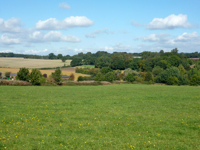
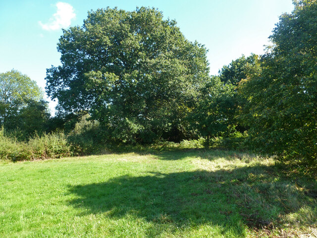
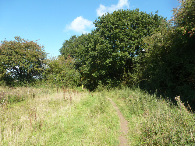
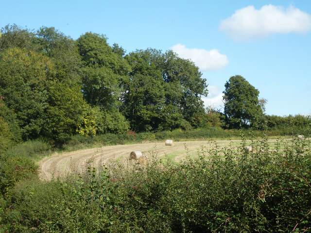
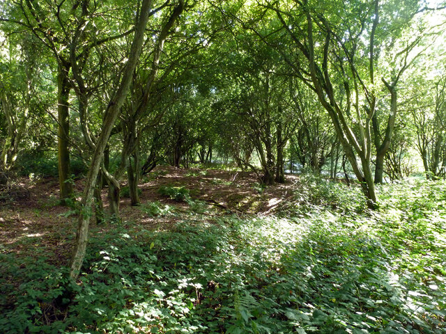
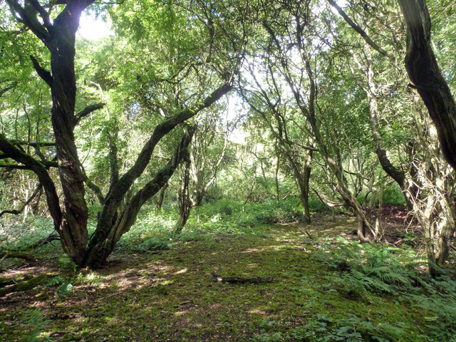
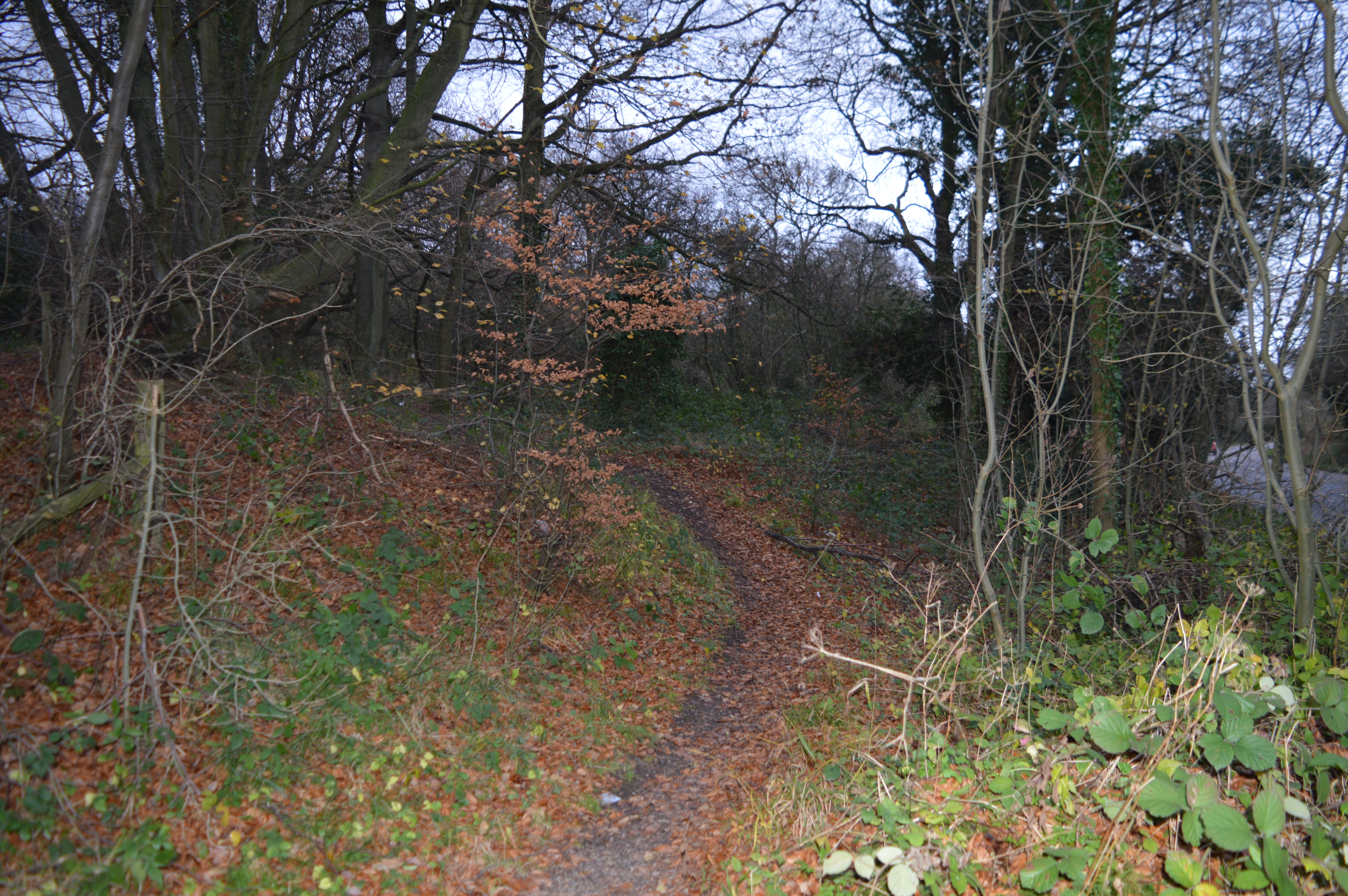
Covering an area of approximately 50 acres, Oldhill Wood is primarily composed of broadleaf trees such as oak, beech, and ash. The dense canopy provides shelter and a habitat for a variety of wildlife, including birds, squirrels, and deer. The forest floor is adorned with a rich carpet of wildflowers, adding bursts of color throughout the seasons.
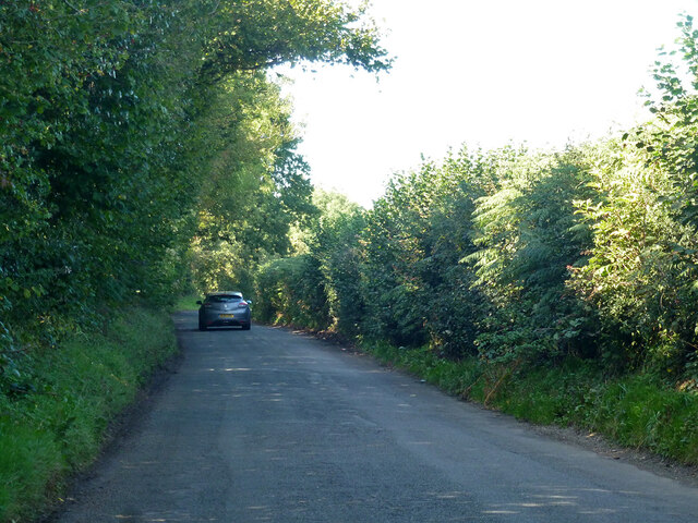
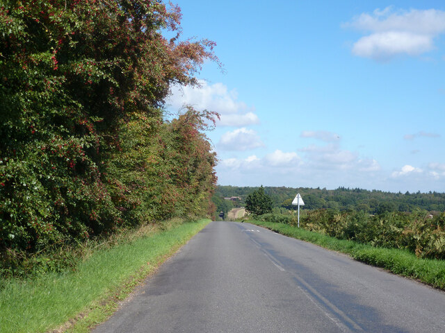
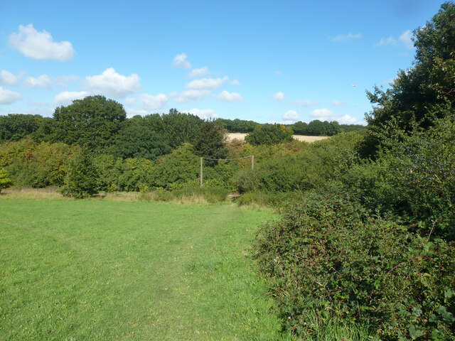
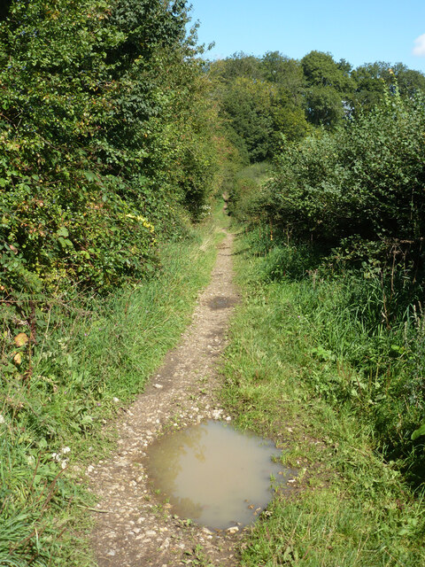
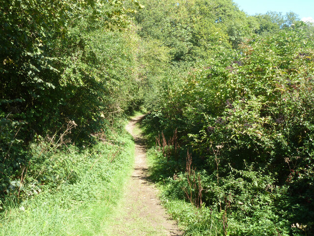
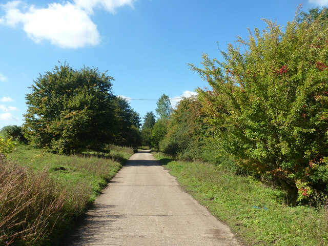
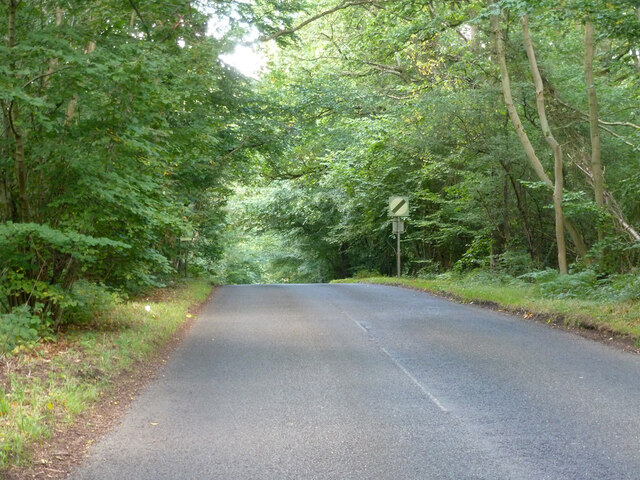
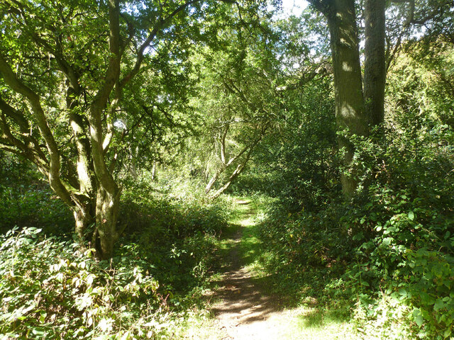
A network of well-maintained footpaths meander through the wood, allowing visitors to explore its beauty at their own pace. These paths wind through dappled sunlight, offering glimpses of ancient trees and enchanting clearings. The tranquil atmosphere is further enhanced by the gentle sound of a nearby stream that runs through the wood, providing a soothing soundtrack to the natural symphony of chirping birds and rustling leaves.
Oldhill Wood is a popular destination for nature lovers, hikers, and photographers. Its natural beauty and accessibility make it an ideal location for a leisurely stroll, a family picnic, or even a peaceful spot to sit and contemplate. The wood is well-maintained by local authorities, ensuring visitors can enjoy its unspoiled charm all year round.
Overall, Oldhill Wood is a captivating woodland retreat that offers a serene escape into nature. Its diverse flora and fauna, coupled with its tranquil ambiance, make it a must-visit destination for anyone seeking solace in the beauty of Bedfordshire.
If you have any feedback on the listing, please let us know in the comments section below.
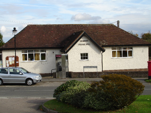
Oldhill Wood Images
Images are sourced within 2km of 51.839389/-0.50278641 or Grid Reference TL0316. Thanks to Geograph Open Source API. All images are credited.


Oldhill Wood is located at Grid Ref: TL0316 (Lat: 51.839389, Lng: -0.50278641)
Unitary Authority: Central Bedfordshire
Police Authority: Bedfordshire
What 3 Words
///wacky.lamps.other. Near Kensworth, Bedfordshire
Nearby Locations
Related Wikis
Kensworth
Kensworth is a village and civil parish located in the Central Bedfordshire district of Bedfordshire, England. The parish is located on the edge of Dunstable...
Studham
Studham is a village and civil parish in the county of Bedfordshire. It has a population of 1,182. The parish bounds to the south of the Buckinghamshire...

Holywell, Bedfordshire
Holywell is a hamlet located in the Central Bedfordshire district of Bedfordshire, England. The settlement is close to Whipsnade and Studham, and Holywell...

Church of St Mary, Studham
Church of St Mary is a Grade I listed church in Studham, Bedfordshire, England. It became a listed building on 3 February 1967. == See also == Grade...

Church of St Mary, Kensworth
The Church of St Mary the Virgin is a Grade I listed church in Kensworth, Bedfordshire, England. It became a listed building on 3 February 1967. ��2...
Landpark Wood
Landpark Wood is a 3.6-hectare (8.9-acre) nature reserve near Whipsnade in Bedfordshire. It is managed by the Wildlife Trust for Bedfordshire, Cambridgeshire...
Cheverells
Cheverells is a Grade II* listed dower house to the Beechwood Park estate in Hertfordshire, England. It dates from around 1693. == References ==

Whipsnade
Whipsnade is a small village and civil parish in Bedfordshire, England. It lies on the eastward tail spurs of the Chiltern Hills, about 2+1⁄2 miles (4...
Related Videos
NHRG e-walks, e-walk365, Markyate Circular. 13/5/23
A relatively local walk this week, mainly due to the train strikes, but also the weather during the week. This 11.4 mile circular of ...

A Taste of Some Green Lanes and Byways around Hertfordshire
A ride around some of the green lanes and byways of Hertfordshire.

Welcome to Markyate
Welcome to Markyate - join our area guide Jamie as he takes you on a tour of this Hertfordshire village.
Nearby Amenities
Located within 500m of 51.839389,-0.50278641Have you been to Oldhill Wood?
Leave your review of Oldhill Wood below (or comments, questions and feedback).