Byslip Wood

Wood, Forest in Bedfordshire

England

Byslip Wood

Grazing sheep Fittingly a wood off to the left of this field is called Lamb's Spring.
Grazing sheep Credit: Robin Webster

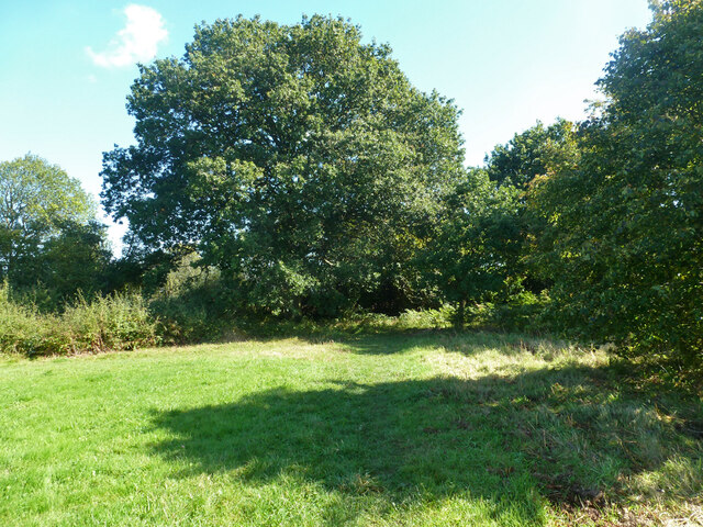
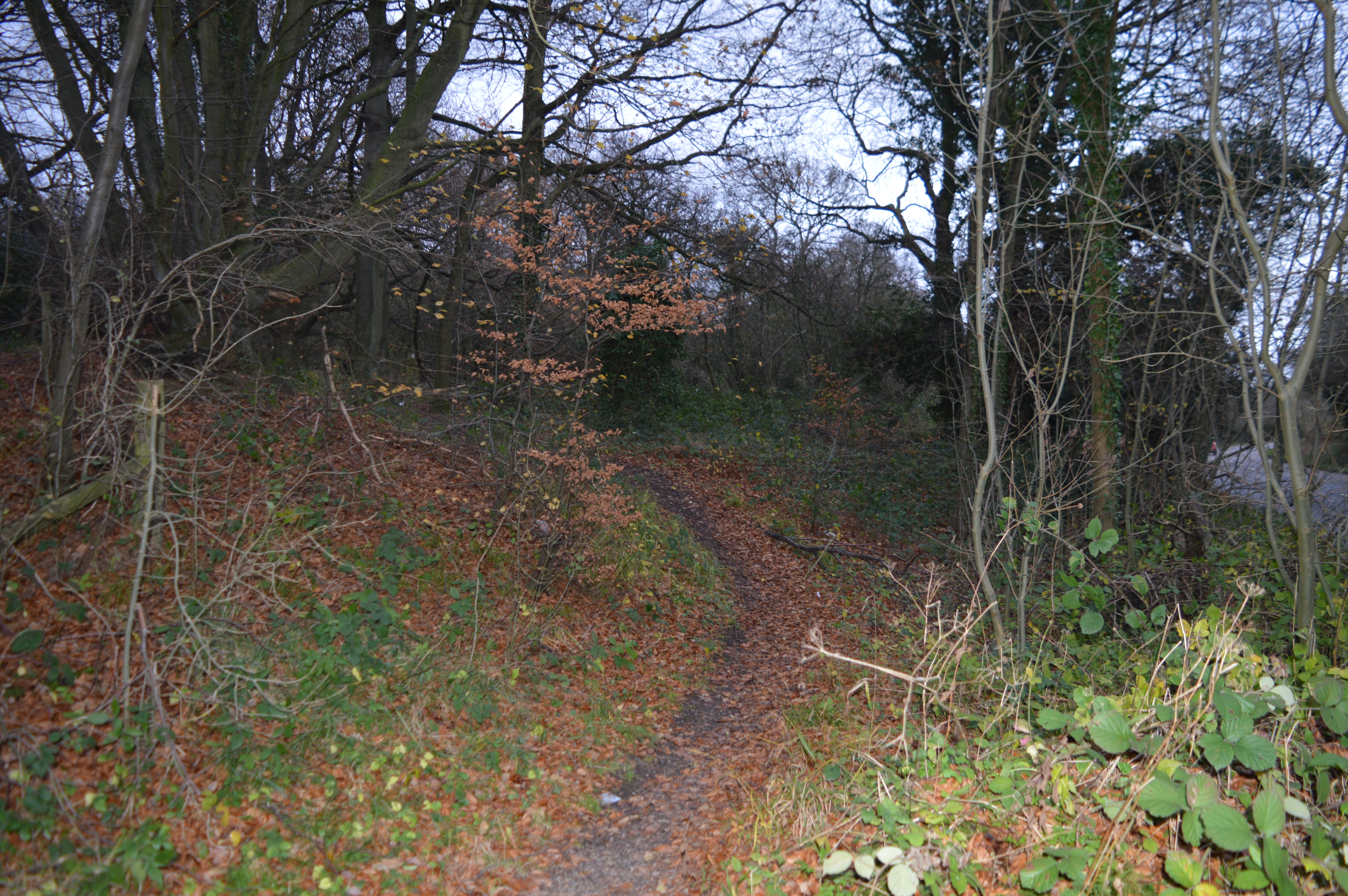
Byslip Wood is a picturesque woodland located in the county of Bedfordshire, England. Covering an area of approximately 100 acres, this ancient forest is nestled in the heart of the Chiltern Hills, a designated Area of Outstanding Natural Beauty.

The woodland is predominantly composed of broad-leaved trees, with a variety of species including oak, beech, ash, and cherry. The dense canopy provides a rich habitat for a diverse range of flora and fauna. Bluebells carpet the forest floor in the spring, creating a stunning display of vibrant colors.

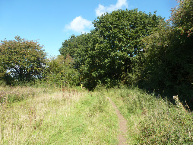
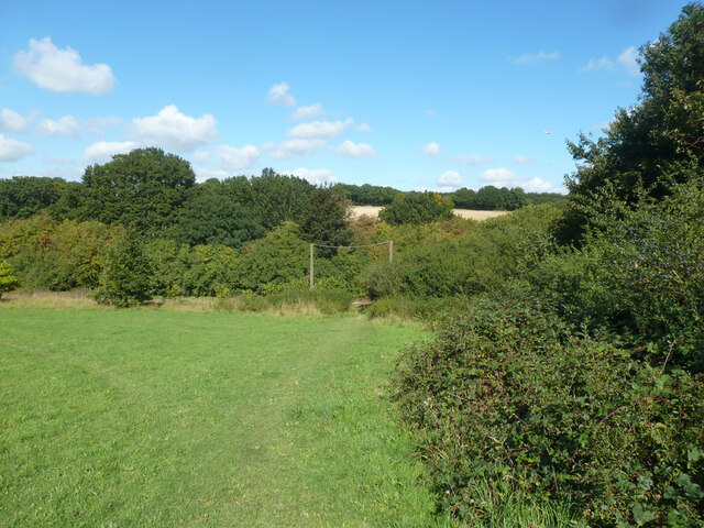
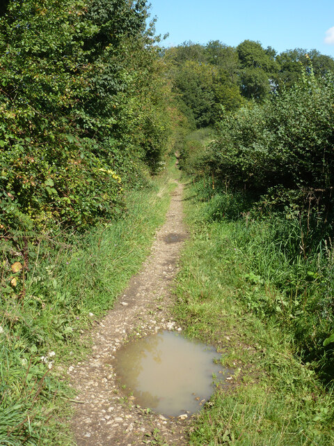
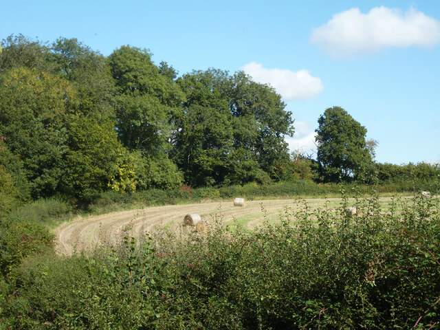
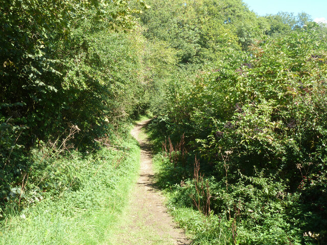
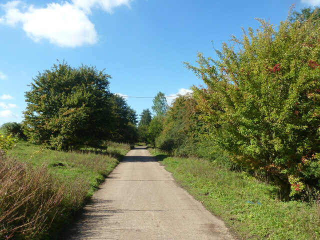
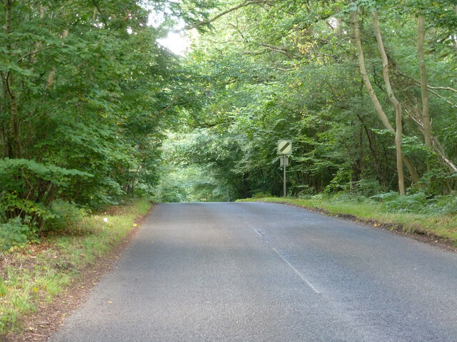
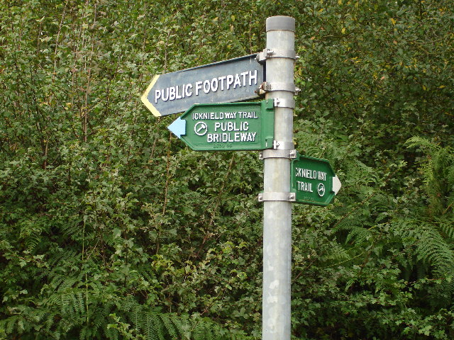
Byslip Wood is renowned for its tranquil and peaceful atmosphere, attracting nature enthusiasts, walkers, and photographers alike. The forest is crisscrossed with a network of well-maintained footpaths, enabling visitors to explore the enchanting woodlands and discover its hidden treasures. The trails lead to secluded clearings and viewpoints, offering breathtaking vistas of the surrounding countryside.

The wood is also home to an abundance of wildlife. Birdwatchers can spot a variety of species, including woodpeckers, nuthatches, and tawny owls. Squirrels scamper through the treetops, while badgers and foxes roam the forest floor. In the summer months, butterflies flit between the wildflowers, adding a touch of color to the woodland scene.

Byslip Wood is managed by the Forestry Commission, ensuring its preservation and conservation for future generations to enjoy. The forest provides a peaceful retreat from the hustle and bustle of everyday life, allowing visitors to connect with nature and experience the beauty of this ancient woodland.

If you have any feedback on the listing, please let us know in the comments section below.
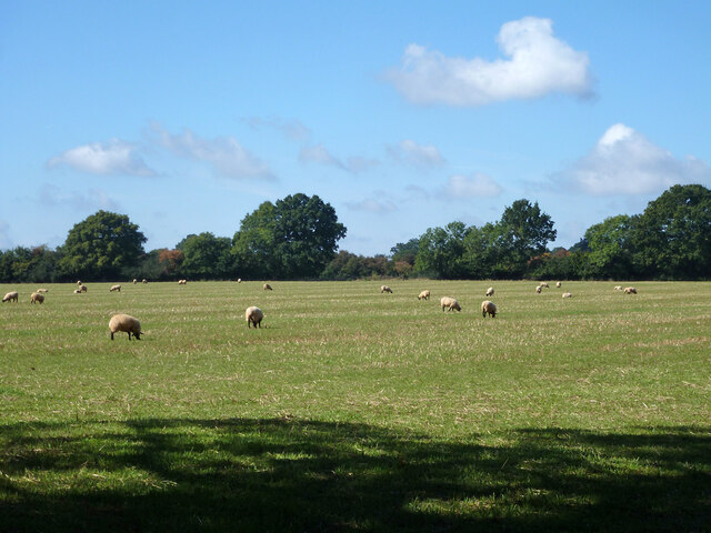
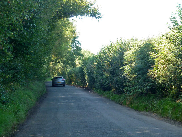
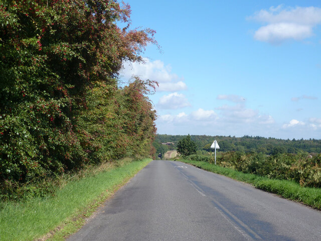
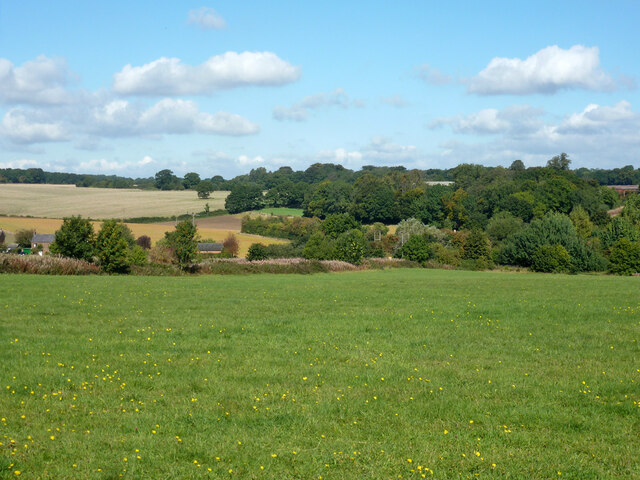
Byslip Wood Images

Images are sourced within 2km of 51.836633/-0.50385029 or Grid Reference TL0316. Thanks to Geograph Open Source API. All images are credited.

Grazing sheep Fittingly a wood off to the left of this field is called Lamb's Spring.
Grazing sheep
Fittingly a wood off to the left of this field is called Lamb's Spring.
Clements End Road Towards Studham.
Clements End Road
Towards Studham.
Byslips Road Towards Dunstable.
Byslips Road
Towards Dunstable.
Studham Common and view north Most of the common is a large area of grassland.
Studham Common and view north
Most of the common is a large area of grassland.
SE corner of Studham Common Public footpaths follow both margins of the common, which has public access anyway.
SE corner of Studham Common
Public footpaths follow both margins of the common, which has public access anyway.
Footpath towards Studham Common The SE corner of the common is beyond the hedge ahead.
Footpath towards Studham Common
The SE corner of the common is beyond the hedge ahead.
NE corner of Studham Common Public footpaths follow both margins of the open common, which has public access anyway.
NE corner of Studham Common
Public footpaths follow both margins of the open common, which has public access anyway.
Studham sewage works Plated on the gate as 'Studham STW  STUDS1ZZ' by Thames Water.
Studham sewage works
Plated on the gate as 'Studham STW STUDS1ZZ' by Thames Water.
Roe End Lane Technically a full public highway of some sort, but in practice a footpath.
Roe End Lane
Technically a full public highway of some sort, but in practice a footpath.
Harvested field corner by Roe End Lane
Roe End Lane Technically a full public highway of some sort, but in practice a footpath.
Roe End Lane
Technically a full public highway of some sort, but in practice a footpath.
Studham sewage works road The access route to Studham sewage works runs along the northern edge of the open part of Studham Common. To the right is a belt of densely wooded common land.
Studham sewage works road
The access route to Studham sewage works runs along the northern edge of the open part of Studham Common. To the right is a belt of densely wooded common land.
Byslips Road heading north Deadmansey Wood on the right.
Byslips Road heading north
Deadmansey Wood on the right.
Junction of Icknield Way and road south out of Studham These point all over the place.  The paths are clear but the pointers have been twisted around.
Junction of Icknield Way and road south out of Studham
These point all over the place. The paths are clear but the pointers have been twisted around.
View over fields towards Studham Studham is just over the horizon at this point beyond the trees.
View over fields towards Studham
Studham is just over the horizon at this point beyond the trees.
Holywell Holywell seems to be a new village.  This is typical of the area and it does not appear on the 1940's map.
Holywell
Holywell seems to be a new village. This is typical of the area and it does not appear on the 1940's map.
Woodlands - Studham I believe that this may be a "modern traditional cottage".  Firstly it is very big for the age that it would appear to be and secondly, it doesn't appear on the 1940's OS map of the area.
Woodlands - Studham
I believe that this may be a "modern traditional cottage". Firstly it is very big for the age that it would appear to be and secondly, it doesn't appear on the 1940's OS map of the area.
Red Lion - Studham Nice pint available in here.  (This is not an advert)
Red Lion - Studham
Nice pint available in here. (This is not an advert)
Show me another place!

Byslip Wood is located at Grid Ref: TL0316 (Lat: 51.836633, Lng: -0.50385029)

Unitary Authority: Central Bedfordshire

Police Authority: Bedfordshire

What 3 Words

///leans.cove.pays. Near Kensworth, Bedfordshire

Related Wikis

Studham

Studham is a village and civil parish in the county of Bedfordshire. It has a population of 1,182. The parish bounds to the south of the Buckinghamshire...

Kensworth

Kensworth is a village and civil parish located in the Central Bedfordshire district of Bedfordshire, England. The parish is located on the edge of Dunstable...

Church of St Mary, Studham

Church of St Mary is a Grade I listed church in Studham, Bedfordshire, England. It became a listed building on 3 February 1967. == See also == Grade...

Holywell, Bedfordshire

Holywell is a hamlet located in the Central Bedfordshire district of Bedfordshire, England. The settlement is close to Whipsnade and Studham, and Holywell...

Beechwood Park (mansion)

Beechwood Park was a mansion, near Markyate, Hertfordshire, England. It now houses Beechwood Park School. == History == Ralph de Tony held this site, in...

Ballingdon Bottom

Ballingdon Bottom is a valley in Hertfordshire, England. It forms part of the boundary between the civil parishes of Flamstead and Great Gaddesden....

Cheverells

Cheverells is a Grade II* listed dower house to the Beechwood Park estate in Hertfordshire, England. It dates from around 1693. == References ==

Landpark Wood

Landpark Wood is a 3.6-hectare (8.9-acre) nature reserve near Whipsnade in Bedfordshire. It is managed by the Wildlife Trust for Bedfordshire, Cambridgeshire...

Nearby Amenities

Located within 500m of 51.836633,-0.50385029
Post Box
Collection Times: Mo-Fr 16:00; Sa 07:00
Operator: Royal Mail
Ref: LU6 69
Source: survey
Lat/Long: 51.8394505/-0.5025342
Barrier: stile
Lat/Long: 51.8345349/-0.5086441
The data included in this document is from www.openstreetmap.org. The data is made available under ODbL.

Have you been to Byslip Wood?

Leave your review of Byslip Wood below (or comments, questions and feedback).