Balcombes Copse
Wood, Forest in Sussex Chichester
England
Balcombes Copse
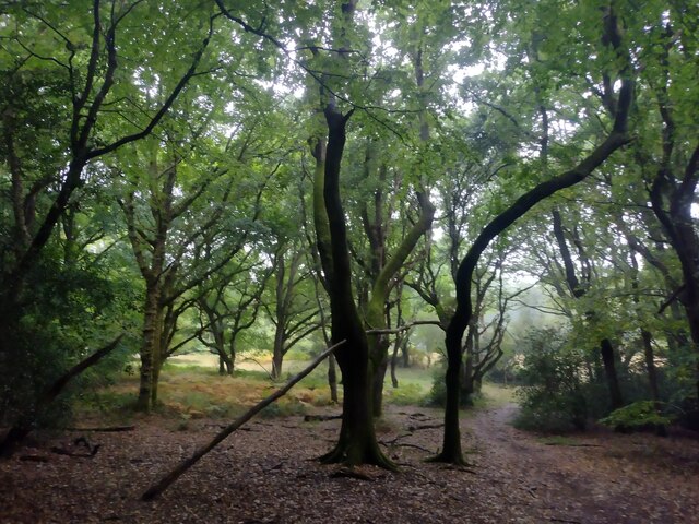
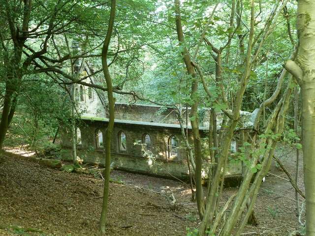
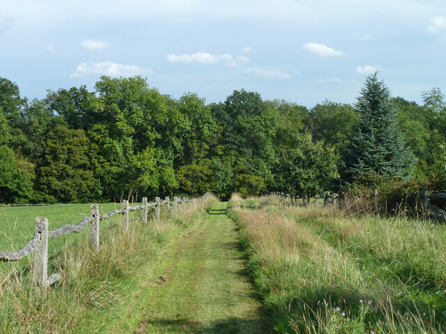
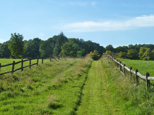
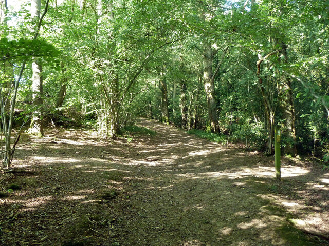
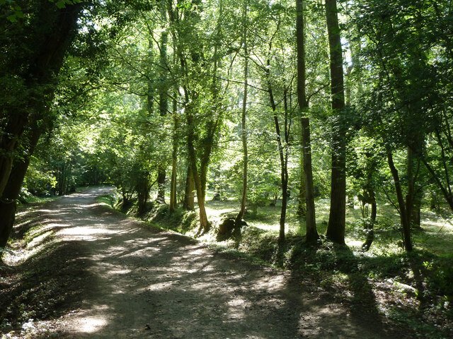
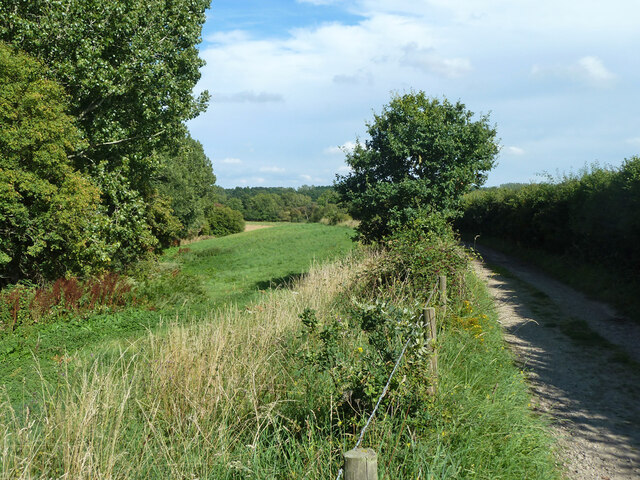
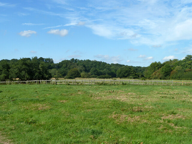
Balcombes Copse is a picturesque woodland located in Sussex, England. Situated amidst the rolling hills and verdant countryside, it covers an area of approximately 100 acres. The copse is known for its diverse range of tree species, including oak, beech, and ash, which create a dense and enchanting forest environment.
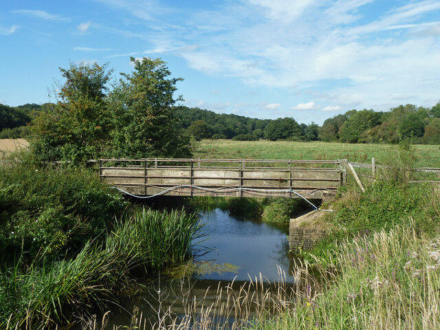
The woodland is home to a rich variety of wildlife, making it a popular spot for nature enthusiasts and birdwatchers. Visitors can spot numerous species of birds, such as woodpeckers, owls, and thrushes, as well as small mammals like foxes, badgers, and squirrels. The copse also boasts a flourishing population of butterflies and insects, adding to its ecological significance.
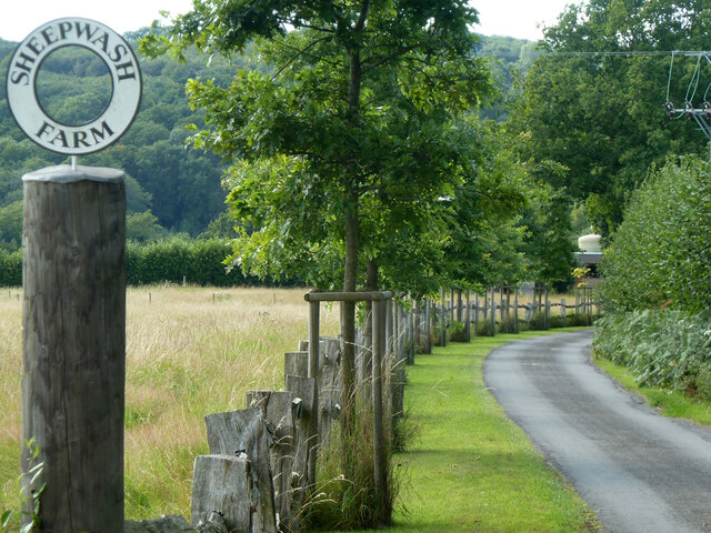
Balcombes Copse offers several walking trails and pathways that meander through the forest, providing visitors with an opportunity to explore its natural beauty. As one strolls along the well-maintained paths, they can enjoy the tranquil ambiance and immerse themselves in the sights and sounds of nature.
The copse is particularly renowned for its vibrant autumn foliage, when the trees showcase a dazzling array of colors, ranging from fiery reds to golden yellows. This spectacle attracts photographers and nature lovers from far and wide, who come to capture the stunning scenery.
Balcombes Copse is a cherished natural gem in Sussex, offering a welcome respite from the hustle and bustle of everyday life. Its serene atmosphere, diverse flora and fauna, and captivating landscapes make it a must-visit destination for anyone seeking a peaceful and immersive woodland experience.
If you have any feedback on the listing, please let us know in the comments section below.
Balcombes Copse Images
Images are sourced within 2km of 50.990529/-0.53124558 or Grid Reference TQ0322. Thanks to Geograph Open Source API. All images are credited.


Balcombes Copse is located at Grid Ref: TQ0322 (Lat: 50.990529, Lng: -0.53124558)
Administrative County: West Sussex
District: Chichester
Police Authority: Sussex
What 3 Words
///gradually.about.musically. Near Pulborough, West Sussex
Nearby Locations
Related Wikis

Upper Arun
Upper Arun is a 17.6-hectare (43-acre) biological Site of Special Scientific Interest between Billingshurst and Pulborough in West Sussex.This 13-kilometre...

The Mens
The Mens is a 205.2-hectare (507-acre) biological Site of Special Scientific Interest west of Billingshurst in West Sussex. It is a Nature Conservation...

Bognor Common Quarry
Bognor Common Quarry is a 25.1-hectare (62-acre) geological Site of Special Scientific Interest east of Petworth in West Sussex. It is a Geological Conservation...

Bedham
Bedham is a hamlet 4 kilometres (2+1⁄2 miles) east of Petworth in the Chichester District of West Sussex, England. It is in the civil parish of Wisborough...

Codmore Hill
Codmore Hill is a hamlet in the Horsham District of West Sussex, England. It lies on the A29 road 1 mile (1.6 km) north of Pulborough. It is in the civil...

River Kird
The River Kird is a river located in the Chichester District of West Sussex, England that is a tributary to the River Arun. It is located in South Downs...
Stopham
Stopham is a hamlet and civil parish in the District of Chichester in West Sussex, England, about 1.5 miles (2.4 km) west of Pulborough on the A283 road...

Park Farm Cutting
Park Farm Cutting is a 0.2-hectare (0.49-acre) geological Site of Special Scientific Interest west of Pulborough in West Sussex. It is a Geological Conservation...
Nearby Amenities
Located within 500m of 50.990529,-0.53124558Have you been to Balcombes Copse?
Leave your review of Balcombes Copse below (or comments, questions and feedback).