Oldfield
Settlement in Warwickshire Warwick
England
Oldfield
Oldfield is a small village located in the county of Warwickshire, England. Situated approximately 7 miles southeast of Warwick, it lies on the banks of the River Avon. With a population of around 500 residents, it is a close-knit community that embodies the charm of rural England.
The village is rich in history, with evidence of human settlement dating back to the Roman period. Oldfield is home to several historic landmarks, including St. Mary's Church, a Grade II listed building that dates back to the 13th century. The church's architecture showcases a mix of Gothic and Norman styles, making it an interesting site for history enthusiasts.
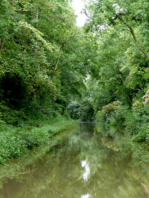
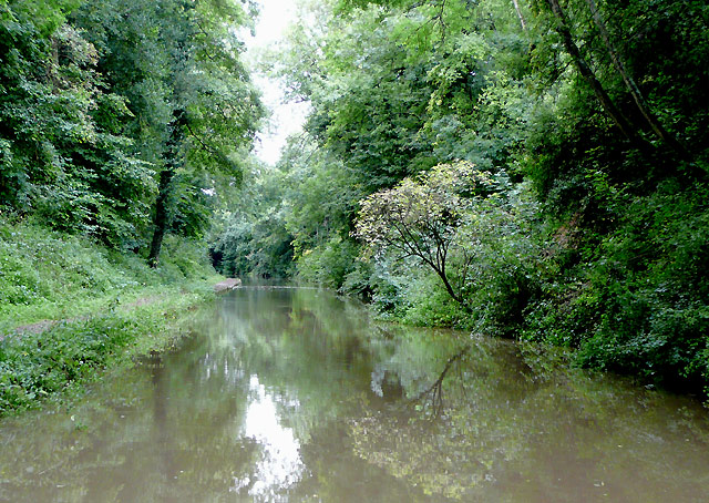
Surrounded by picturesque countryside, Oldfield offers residents and visitors plenty of opportunities for outdoor activities. The nearby River Avon provides a serene setting for fishing and boating, while the rolling hills and fields are perfect for hiking and picnicking. The village also boasts a well-maintained cricket pitch, where locals can be found enjoying matches during the summer months.
Despite its small size, Oldfield is not lacking in amenities. The village is home to a local pub, The Oldfield Arms, which serves traditional British food and offers a warm and friendly atmosphere. There is also a primary school, ensuring that families with young children are catered for within the community.
Overall, Oldfield is a quintessential English village that offers a peaceful and idyllic lifestyle. Its rich history, beautiful surroundings, and strong sense of community make it a truly special place to live or visit.
If you have any feedback on the listing, please let us know in the comments section below.
Oldfield Images
Images are sourced within 2km of 52.312371/-1.6878405 or Grid Reference SP2168. Thanks to Geograph Open Source API. All images are credited.
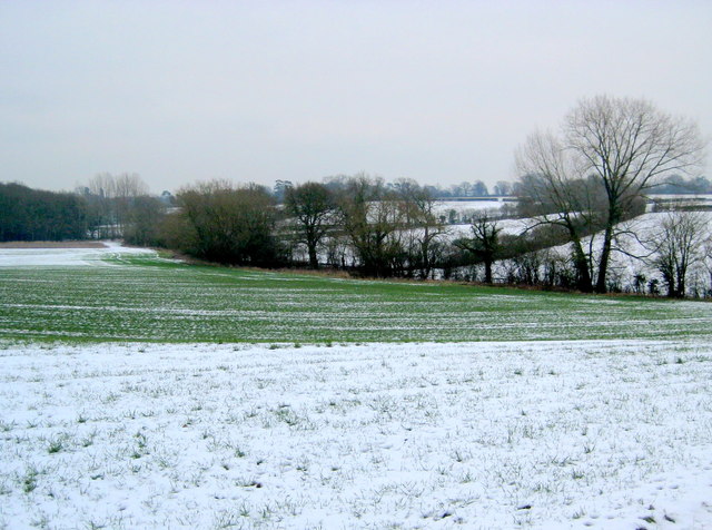
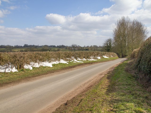
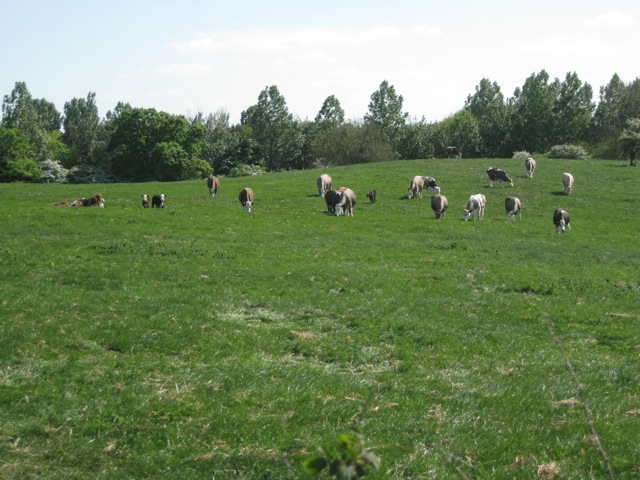
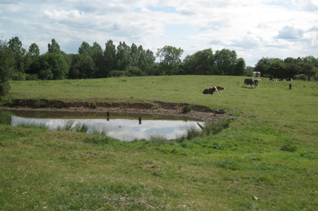
![Hawthorns in flower below High Cross “Ancient Arden is the most extensive Arden landscape and forms the core of ancient countryside in Warwickshire. It is a small-scale, intricate landscape with many low rounded hills, steep scarps and small incised valleys. Landform is rarely dominant but in places is emphasised by hilltop woodlands and wooded scarps… Characteristic features include: a varied undulating topography; many winding brooks and small rivers; a close network of winding lanes, tracks and paths, often confined by tall hedgebanks; an ancient irregular pattern of small to medium-sized fields; hedgerow and roadside oaks and small woodlands, resulting in short views and a sense of enclosure; field ponds associated with permanent pasture; dispersed settlement: hamlets centred on farms; wayside cottages; few villages; and many place names ending in Green or End.
“The region known as Arden is an area of former wood pasture and ancient farmlands lying [mainly] on the eastern side of the Birmingham plateau.” Roughly speaking it is bounded by the rivers Tame and Anker in the north and the Warwickshire Avon in the south, although Arden-type landscapes extend into northeast Worcestershire and the former West Midlands county. “Although there are few dramatic physical features, the Arden countryside has an intimate, historic character with a strong sense of unity. Brick and timber are the chief building materials throughout the area [in the countryside, not the urban intrusions] and the many farmsteads and hamlets blend subtly with their surroundings. This is Shakespeare’s ‘Forest of Arden’, historically a region of woodlands and ‘waste’ which remains today [in 1993] one of the more wooded parts of the Midlands.
“The name Arden is derived from the old British word ‘Ardu’ meaning ‘high land’. This relates primarily to the northern and central parts of the region which lie across the main Severn-Trent watershed… Agriculturally Arden may have originally served as an area of seasonal pasture for the more intensively developed Feldon [felden] estates to the south [of the Avon]. However, permanent pastoral settlements were established at an early date. The resulting clearances were farmed as small hedged enclosures or ‘closes’ which created a characteristic pattern of small irregular fields.”
Even where enclosure, emparkment, industry, transport, mining, suburban and other development have taken place the original character may still be felt. Place names ending in Heath and Common, as well as Green and End, occur throughout the suburbs of Birmingham, Coventry, Solihull and Redditch, and are a reminder of Arden's original extent. More recent urban and suburban landscapes are enriched by the ancient oaks and hollies, timber-framed houses and fragments of woodland and pasture that survive in their midst.
Extracts in double quotes are from ‘Warwickshire Landscapes Guidelines: Arden’, Warwickshire County Council, 1993.](https://s1.geograph.org.uk/geophotos/02/45/22/2452289_0d647df8.jpg)
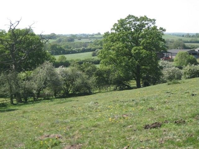
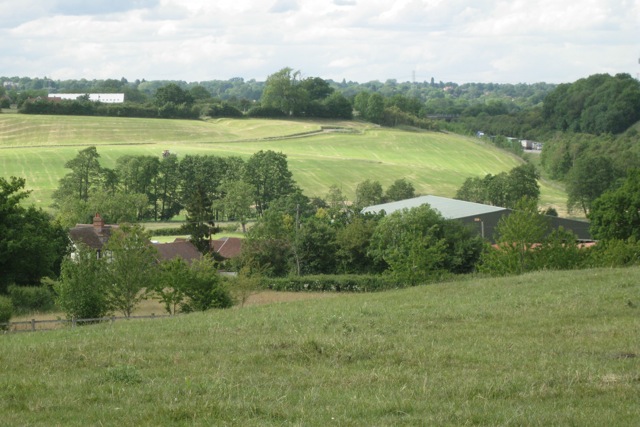
![Meadow below Holywell Wood, High Cross “Ancient Arden is the most extensive Arden landscape and forms the core of ancient countryside in Warwickshire. It is a small-scale, intricate landscape with many low rounded hills, steep scarps and small incised valleys. Landform is rarely dominant but in places is emphasised by hilltop woodlands and wooded scarps… Characteristic features include: a varied undulating topography; many winding brooks and small rivers; a close network of winding lanes, tracks and paths, often confined by tall hedgebanks; an ancient irregular pattern of small to medium-sized fields; hedgerow and roadside oaks and small woodlands, resulting in short views and a sense of enclosure; field ponds associated with permanent pasture; dispersed settlement: hamlets centred on farms; wayside cottages; few villages; and many place names ending in Green or End.
“The region known as Arden is an area of former wood pasture and ancient farmlands lying [mainly] on the eastern side of the Birmingham plateau.” Roughly speaking it is bounded by the rivers Tame and Anker in the north and the Warwickshire Avon in the south, although Arden-type landscapes extend into northeast Worcestershire and the former West Midlands county. “Although there are few dramatic physical features, the Arden countryside has an intimate, historic character with a strong sense of unity. Brick and timber are the chief building materials throughout the area [in the countryside, not the urban intrusions] and the many farmsteads and hamlets blend subtly with their surroundings. This is Shakespeare’s ‘Forest of Arden’, historically a region of woodlands and ‘waste’ which remains today [in 1993] one of the more wooded parts of the Midlands.
“The name Arden is derived from the old British word ‘Ardu’ meaning ‘high land’. This relates primarily to the northern and central parts of the region which lie across the main Severn-Trent watershed… Agriculturally Arden may have originally served as an area of seasonal pasture for the more intensively developed Feldon [felden] estates to the south [of the Avon]. However, permanent pastoral settlements were established at an early date. The resulting clearances were farmed as small hedged enclosures or ‘closes’ which created a characteristic pattern of small irregular fields.”
Even where enclosure, emparkment, industry, transport, mining, suburban and other development have taken place the original character may still be felt. Place names ending in Heath and Common, as well as Green and End, occur throughout the suburbs of Birmingham, Coventry, Solihull and Redditch, and are a reminder of Arden's original extent. More recent urban and suburban landscapes are enriched by the ancient oaks and hollies, timber-framed houses and fragments of woodland and pasture that survive in their midst.
Extracts in double quotes are from ‘Warwickshire Landscapes Guidelines: Arden’, Warwickshire County Council, 1993.](https://s0.geograph.org.uk/geophotos/02/45/23/2452300_fcfbcc50.jpg)
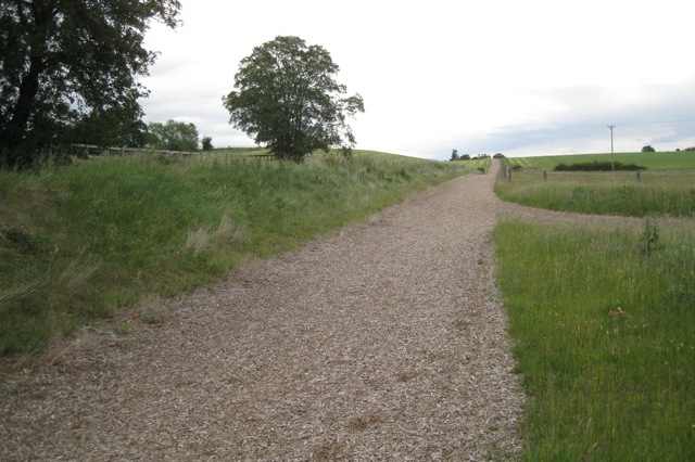
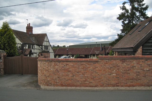
![Fields below High Cross “Ancient Arden is the most extensive Arden landscape and forms the core of ancient countryside in Warwickshire. It is a small-scale, intricate landscape with many low rounded hills, steep scarps and small incised valleys. Landform is rarely dominant but in places is emphasised by hilltop woodlands and wooded scarps… Characteristic features include: a varied undulating topography; many winding brooks and small rivers; a close network of winding lanes, tracks and paths, often confined by tall hedgebanks; an ancient irregular pattern of small to medium-sized fields; hedgerow and roadside oaks and small woodlands, resulting in short views and a sense of enclosure; field ponds associated with permanent pasture; dispersed settlement: hamlets centred on farms; wayside cottages; few villages; and many place names ending in Green or End.
“The region known as Arden is an area of former wood pasture and ancient farmlands lying [mainly] on the eastern side of the Birmingham plateau.” Roughly speaking it is bounded by the rivers Tame and Anker in the north and the Warwickshire Avon in the south, although Arden-type landscapes extend into northeast Worcestershire and the former West Midlands county. “Although there are few dramatic physical features, the Arden countryside has an intimate, historic character with a strong sense of unity. Brick and timber are the chief building materials throughout the area [in the countryside, not the urban intrusions] and the many farmsteads and hamlets blend subtly with their surroundings. This is Shakespeare’s ‘Forest of Arden’, historically a region of woodlands and ‘waste’ which remains today [in 1993] one of the more wooded parts of the Midlands.
“The name Arden is derived from the old British word ‘Ardu’ meaning ‘high land’. This relates primarily to the northern and central parts of the region which lie across the main Severn-Trent watershed… Agriculturally Arden may have originally served as an area of seasonal pasture for the more intensively developed Feldon [felden] estates to the south [of the Avon]. However, permanent pastoral settlements were established at an early date. The resulting clearances were farmed as small hedged enclosures or ‘closes’ which created a characteristic pattern of small irregular fields.”
Even where enclosure, emparkment, industry, transport, mining, suburban and other development have taken place the original character may still be felt. Place names ending in Heath and Common, as well as Green and End, occur throughout the suburbs of Birmingham, Coventry, Solihull and Redditch, and are a reminder of Arden's original extent. More recent urban and suburban landscapes are enriched by the ancient oaks and hollies, timber-framed houses and fragments of woodland and pasture that survive in their midst.
Extracts in double quotes are from ‘Warwickshire Landscapes Guidelines: Arden’, Warwickshire County Council, 1993.](https://s3.geograph.org.uk/geophotos/02/45/23/2452303_0c8ea1a0.jpg)
Oldfield is located at Grid Ref: SP2168 (Lat: 52.312371, Lng: -1.6878405)
Administrative County: Warwickshire
District: Warwick
Police Authority: Warwickshire
What 3 Words
///skewing.turned.couple. Near Wroxall, Warwickshire
Nearby Locations
Related Wikis


Nearby Amenities
Located within 500m of 52.312371,-1.6878405Have you been to Oldfield?
Leave your review of Oldfield below (or comments, questions and feedback).