Oldeamere

Settlement in Cambridgeshire Fenland

England

Oldeamere

Farmland south of Eastrea, from the railway
Farmland south of Eastrea, from the railway Credit: Christopher Hilton

Oldeamere is a small village located in the county of Cambridgeshire, England. Situated approximately 10 miles east of the city of Peterborough, it is surrounded by picturesque countryside and offers a peaceful rural setting. The village is part of the Huntingdonshire district and falls within the civil parish of Sawtry.

With a population of around 500 residents, Oldeamere has a close-knit community feel. The village is predominantly residential, with a mix of traditional thatched cottages and more modern housing. The architecture reflects the village's long history, which dates back to medieval times.

Oldeamere is well-connected to nearby towns and cities thanks to its proximity to major road networks. The A1(M) is easily accessible, providing convenient links to Peterborough, Cambridge, and beyond. The village is also served by regular bus services, making it easy to travel to nearby amenities and attractions.

Despite its small size, Oldeamere offers a range of amenities for its residents. There is a local primary school, a village hall that hosts community events, and a charming pub where residents can relax and socialize. The surrounding countryside provides ample opportunities for outdoor activities such as walking, cycling, and horse riding.

Overall, Oldeamere provides a tranquil and welcoming environment for those seeking a peaceful rural lifestyle, while still offering easy access to nearby towns and cities. Its rich history, picturesque surroundings, and strong sense of community make it an attractive place to live or visit.

If you have any feedback on the listing, please let us know in the comments section below.
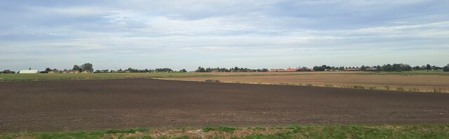
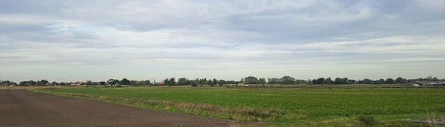
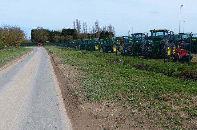
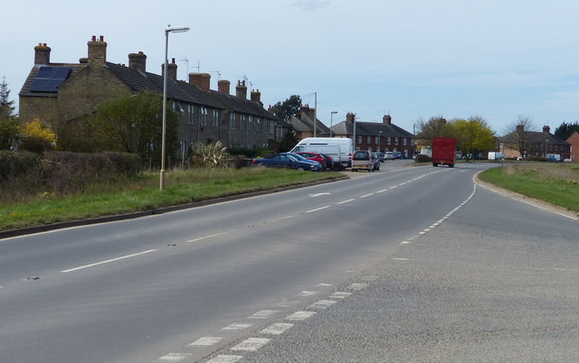
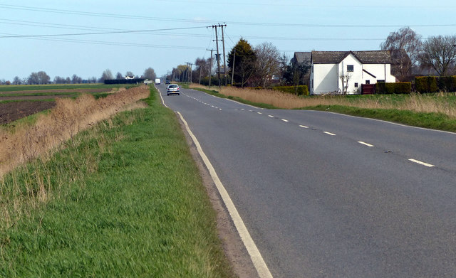
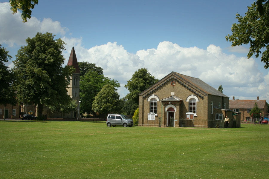
Oldeamere Images

Images are sourced within 2km of 52.553454/-0.070779755 or Grid Reference TL3096. Thanks to Geograph Open Source API. All images are credited.

Farmland south of Eastrea, from the railway
Farmland south of Coates The track Cross Drove can just be seen in the bottom right of the picture.
Farmland south of Coates
The track Cross Drove can just be seen in the bottom right of the picture.
Farmland south of Coates, from the railway
Farmland south of Coates
View across farmland towards Matlock Farm
John Deere tractors along Eldernell Lane
A605 March Road in Coates
A605 Wisbech Road near Kingsland Farm
Drain next to the A605 Wisbech Road
Whitecross Stone, Coates Marked as an antiquity on OS maps, its original purpose is uncertain. It is described in the Historic England Pastscape section as “A free standing stone pillar, possibly a late Medieval milestone.”
Whitecross Stone, Coates
Marked as an antiquity on OS maps, its original purpose is uncertain. It is described in the Historic England Pastscape section as “A free standing stone pillar, possibly a late Medieval milestone.”
Local pride, past and present at Coates
Field near Eldernell The further south one gets, away from the River Nene, the better the fields are drained. This one is dry enough for a cereal crop.
Field near Eldernell
The further south one gets, away from the River Nene, the better the fields are drained. This one is dry enough for a cereal crop.
Agricultural Supplies This business near Coates sells farm machinery.
Agricultural Supplies
This business near Coates sells farm machinery.
Whitecross Stone? 'Whitecross Stone' is marked on the 1:50,000 map and gives its name to Whitecross Farm, which is nearby. If this is it, it's not exactly spectacular, and any information which may exist about it online is lost in a welter of irrelevancy.
Whitecross Stone?
'Whitecross Stone' is marked on the 1:50,000 map and gives its name to Whitecross Farm, which is nearby. If this is it, it's not exactly spectacular, and any information which may exist about it online is lost in a welter of irrelevancy.
Children's play area opposite the parish church
Holy Trinity, Coates: late June 2016
Holy Trinity, Coates: churchyard (I)
Holy Trinity, Coates: churchyard (II)
Show me another place!

Oldeamere is located at Grid Ref: TL3096 (Lat: 52.553454, Lng: -0.070779755)

Division: Isle of Ely

Administrative County: Cambridgeshire

District: Fenland

Police Authority: Cambridgeshire

What 3 Words

///district.plug.throwaway. Near Whittlesey, Cambridgeshire

Nearby Locations

Oldeamere

Related Wikis

Coates, Cambridgeshire

Coates is a small village close to the town of Whittlesey, in the English county of Cambridgeshire. Coates has a shop which includes a post office. �...

Eastrea railway station

Eastrea railway station was a station serving the village of Eastrea, Cambridgeshire on the Great Eastern Railway's line from Ely to Peterborough. The...

Eastrea

Eastrea is a village in Cambridgeshire, located on the A605 between Whittlesey and Coates. The site has been inhabited since Roman times. The population...

Whittlesey Athletic F.C.

Whittlesey Athletic Football Club is a football club based in Whittlesey, Cambridgeshire, England. They are currently members of the Eastern Counties League...

Nearby Amenities

Located within 500m of 52.553454,-0.070779755
Place: farm
Lat/Long: 52.5544227/-0.0721063
Place: farm
Lat/Long: 52.5527006/-0.0708188
Building: yes
Lat/Long: 52.5543207/-0.0662892
Railway: level_crossing
Lat/Long: 52.5515594/-0.0694436
Railway: level_crossing
Lat/Long: 52.5515234/-0.069419
Generator Method: wind_turbine
Generator Output Electricity: yes
Generator Plant: output
Generator Source: wind
Generator Type: horizontal_axis
Power: generator
Lat/Long: 52.5504173/-0.076126
The data included in this document is from www.openstreetmap.org. The data is made available under ODbL.

Have you been to Oldeamere?

Leave your review of Oldeamere below (or comments, questions and feedback).