Bullywells Plantation North
Wood, Forest in Lincolnshire North Kesteven
England
Bullywells Plantation North
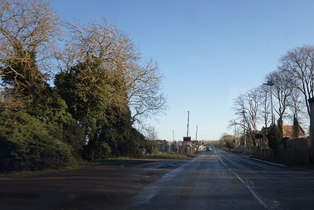
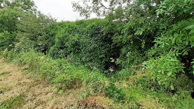
Bullywells Plantation North is a lush woodland located in the county of Lincolnshire, England. This enchanting forest covers an area of approximately 50 acres and is nestled amidst the picturesque countryside. The plantation is renowned for its diverse range of trees, including oak, beech, birch, and pine, which create a captivating tapestry of greenery throughout the year.
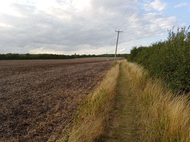
The woodland is a haven for nature enthusiasts and offers a tranquil retreat from the hustle and bustle of urban life. Walking along the winding pathways, visitors can immerse themselves in the peaceful ambiance and enjoy the stunning natural beauty that surrounds them. The forest floor is carpeted with an array of wildflowers, creating a colorful spectacle during the spring and summer months.
Bullywells Plantation North is home to a rich variety of wildlife, making it an ideal destination for birdwatchers and animal lovers. The forest provides a habitat for numerous bird species, including woodpeckers, thrushes, and owls. Squirrels can be seen darting among the trees, while rabbits and deer occasionally make appearances, adding to the enchantment of the woodland.
This woodland also offers recreational opportunities for visitors. There are designated picnic areas where families and friends can enjoy a leisurely outdoor meal while being surrounded by the serenity of nature. The plantation is also a popular destination for hikers and joggers, with its well-maintained trails providing a wonderful setting for outdoor exercise.
Bullywells Plantation North is a true gem in Lincolnshire, offering a delightful escape into nature and a chance to appreciate the beauty of the English countryside.
If you have any feedback on the listing, please let us know in the comments section below.
Bullywells Plantation North Images
Images are sourced within 2km of 53.000322/-0.45295255 or Grid Reference TF0345. Thanks to Geograph Open Source API. All images are credited.


Bullywells Plantation North is located at Grid Ref: TF0345 (Lat: 53.000322, Lng: -0.45295255)
Administrative County: Lincolnshire
District: North Kesteven
Police Authority: Lincolnshire
What 3 Words
///banana.spruced.putter. Near Sleaford, Lincolnshire
Nearby Locations
Related Wikis

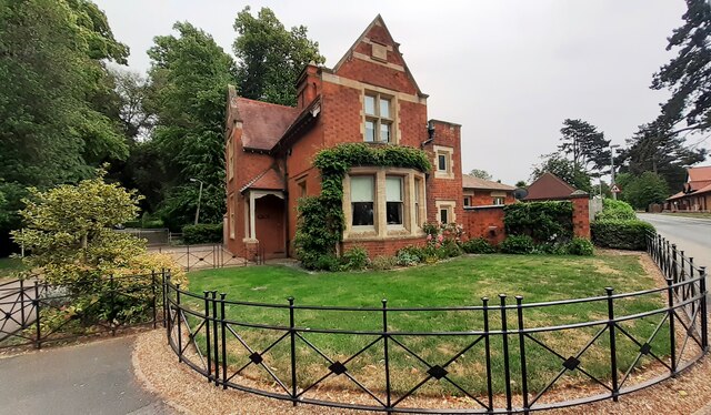
South Rauceby Hall
South Rauceby Hall, South Rauceby, Lincolnshire, England is a country house dating from the mid-19th century. It was designed by William Burn in 1842 for...

South Rauceby
South Rauceby is a village and civil parish in the North Kesteven district of Lincolnshire, England. It is situated 2.5 miles (4.0 km) west from Sleaford...

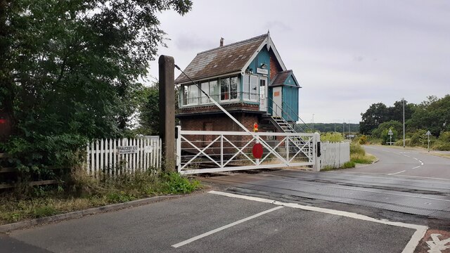
Rauceby railway station
Rauceby railway station is a station near the town of Sleaford, Lincolnshire, England, lying close to the western border of the Parish of Old Sleaford...

Rauceby Hospital
Rauceby Hospital, originally called Kesteven County Asylum, is a now-defunct mental institution in the parish of Quarrington, Lincolnshire, England. Originally...

North Rauceby
North Rauceby is a village and civil parish in the North Kesteven district of Lincolnshire, England. It is situated 4 miles (6 km) north-west from Sleaford...
St Botolph's Church, Quarrington
St Botolph's Church is an Anglican church in Quarrington in Lincolnshire, England. The area has been settled since at least the Anglo-Saxon period, and...

Quarrington, Lincolnshire
Quarrington is a village and former civil parish, now part of the civil parish of Sleaford, in the North Kesteven district of Lincolnshire, England. The...
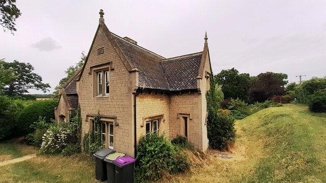
Westholme House
Westholme House is a historic building in the English market town of Sleaford in Lincolnshire, set in 32 acres of parkland and school grounds. Built around...
Nearby Amenities
Located within 500m of 53.000322,-0.45295255Have you been to Bullywells Plantation North?
Leave your review of Bullywells Plantation North below (or comments, questions and feedback).