Keeper's Belt
Wood, Forest in Lincolnshire North Kesteven
England
Keeper's Belt
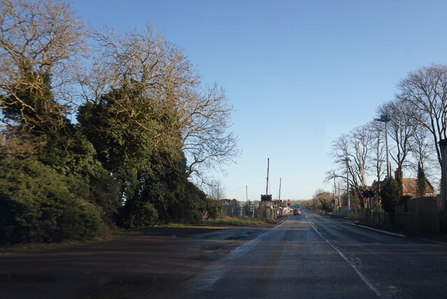
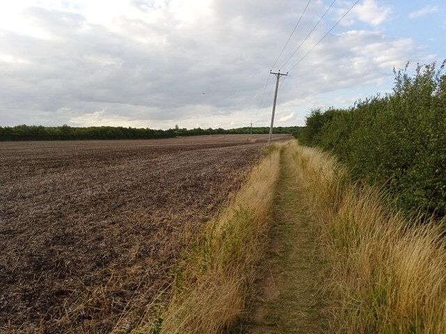
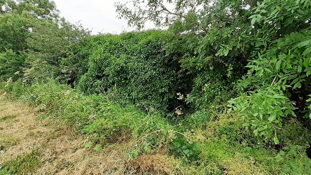
Keeper's Belt is a woodland area located in Lincolnshire, a county in the eastern part of England. This forested area spans across an expansive stretch of land, showcasing a diverse range of trees and flora. The belt is named after the "keepers," who were responsible for maintaining the forest and its wildlife.
The woodland is characterized by its dense and lush vegetation, offering a serene and tranquil environment for visitors. The trees that dominate the area include oak, beech, and birch, creating a beautiful canopy overhead. These trees provide a habitat for various species of birds, mammals, and insects, making it a hotspot for wildlife enthusiasts and nature lovers.
Keeper's Belt is also known for its network of walking trails, offering visitors the opportunity to explore the forest at their own pace. These trails are well-maintained and vary in length and difficulty, catering to both casual strollers and avid hikers. Along the way, visitors may encounter stunning viewpoints, picturesque ponds, and meandering streams, adding to the overall charm of the woodland.
The forest is open to the public throughout the year, allowing people to witness the changing seasons and the natural beauty that each one brings. In the spring, the woodland comes alive with vibrant wildflowers and the chirping of birds. During the autumn months, the forest transforms into a kaleidoscope of colors as the leaves change, creating a breathtaking sight.
Keeper's Belt is not only a haven for nature enthusiasts but also serves as an important ecosystem, contributing to the overall biodiversity of Lincolnshire. Its serene atmosphere and natural splendor make it a must-visit destination for those seeking a peaceful retreat in the heart of nature.
If you have any feedback on the listing, please let us know in the comments section below.
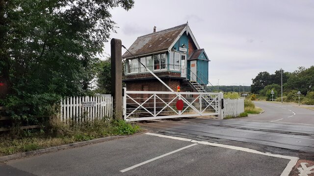
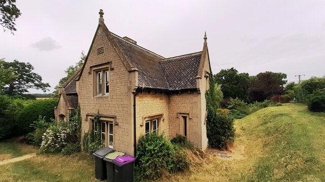
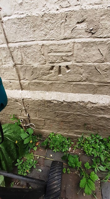
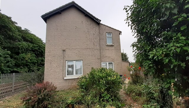
Keeper's Belt Images
Images are sourced within 2km of 53.001233/-0.45874677 or Grid Reference TF0345. Thanks to Geograph Open Source API. All images are credited.


Keeper's Belt is located at Grid Ref: TF0345 (Lat: 53.001233, Lng: -0.45874677)
Administrative County: Lincolnshire
District: North Kesteven
Police Authority: Lincolnshire
What 3 Words
///prominent.intruding.imitate. Near Sleaford, Lincolnshire
Nearby Locations
Related Wikis

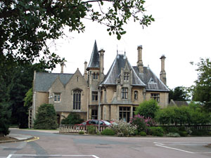
South Rauceby Hall
South Rauceby Hall, South Rauceby, Lincolnshire, England is a country house dating from the mid-19th century. It was designed by William Burn in 1842 for...

South Rauceby
South Rauceby is a village and civil parish in the North Kesteven district of Lincolnshire, England. It is situated 2.5 miles (4.0 km) west from Sleaford...

North Rauceby
North Rauceby is a village and civil parish in the North Kesteven district of Lincolnshire, England. It is situated 4 miles (6 km) north-west from Sleaford...

Rauceby railway station
Rauceby railway station is a station near the town of Sleaford, Lincolnshire, England, lying close to the western border of the Parish of Old Sleaford...

Rauceby Hospital
Rauceby Hospital, originally called Kesteven County Asylum, is a now-defunct mental institution in the parish of Quarrington, Lincolnshire, England. Originally...
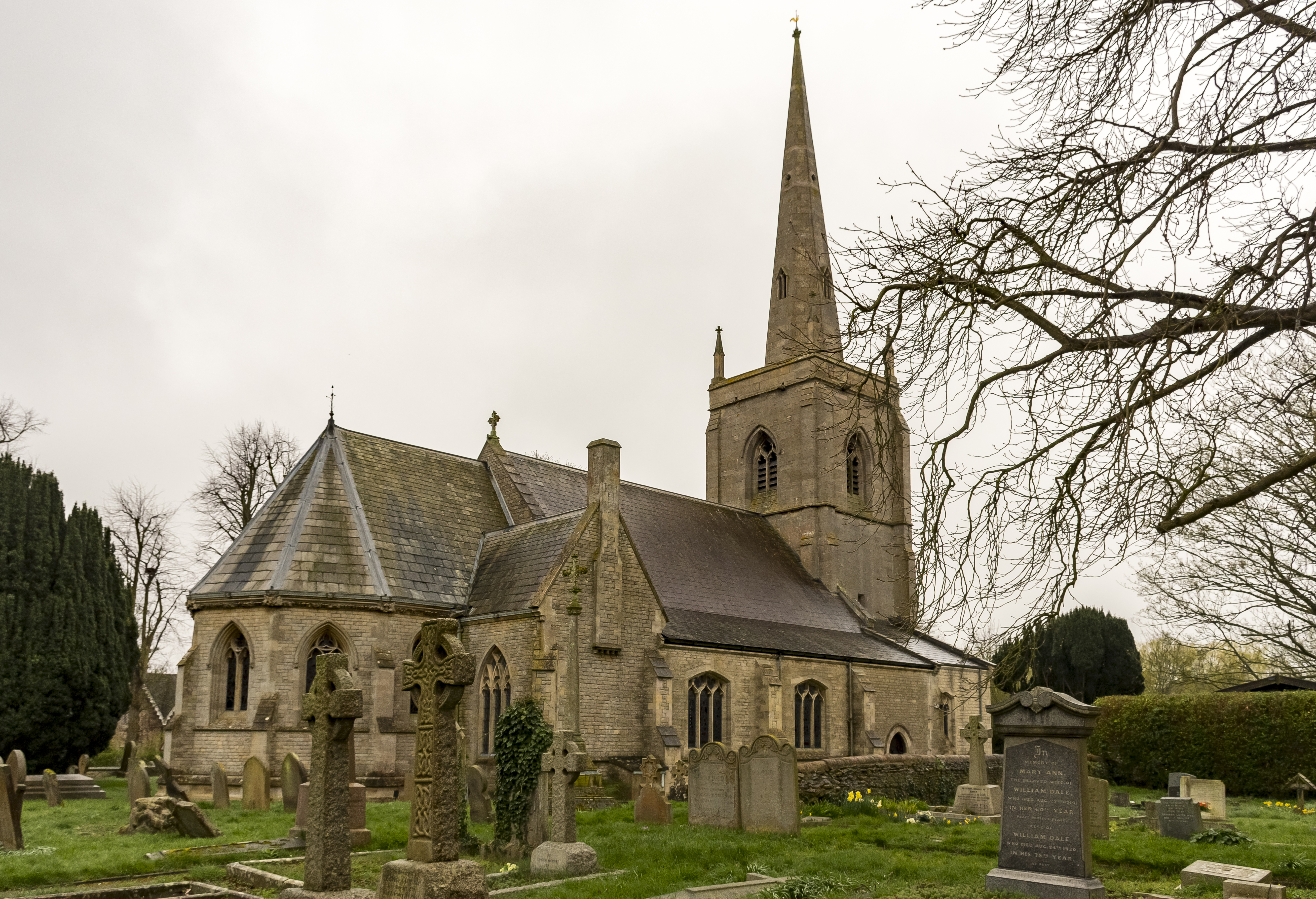
St Botolph's Church, Quarrington
St Botolph's Church is an Anglican church in Quarrington in Lincolnshire, England. The area has been settled since at least the Anglo-Saxon period, and...

Quarrington, Lincolnshire
Quarrington is a village and former civil parish, now part of the civil parish of Sleaford, in the North Kesteven district of Lincolnshire, England. The...
Westholme House
Westholme House is a historic building in the English market town of Sleaford in Lincolnshire, set in 32 acres of parkland and school grounds. Built around...
Nearby Amenities
Located within 500m of 53.001233,-0.45874677Have you been to Keeper's Belt?
Leave your review of Keeper's Belt below (or comments, questions and feedback).