Gas House Plantation
Wood, Forest in Lincolnshire North Kesteven
England
Gas House Plantation
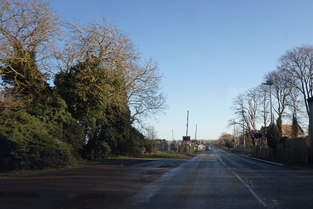
Gas House Plantation is a picturesque woodland located in Lincolnshire, England. Covering an expansive area, this plantation is renowned for its lush greenery, diverse flora, and tranquil ambiance. The name "Gas House" is derived from the former gasworks that once operated nearby, adding a historical touch to the area.
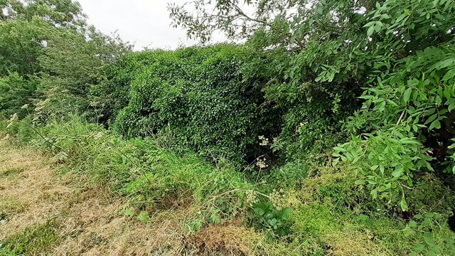
The woodland is predominantly composed of mature broadleaf trees, including oak, beech, and birch. These majestic trees create a dense canopy, providing shade and shelter for a wide variety of wildlife. Visitors can meander through the well-maintained footpaths that wind their way through the plantation, offering a peaceful and immersive experience in nature.
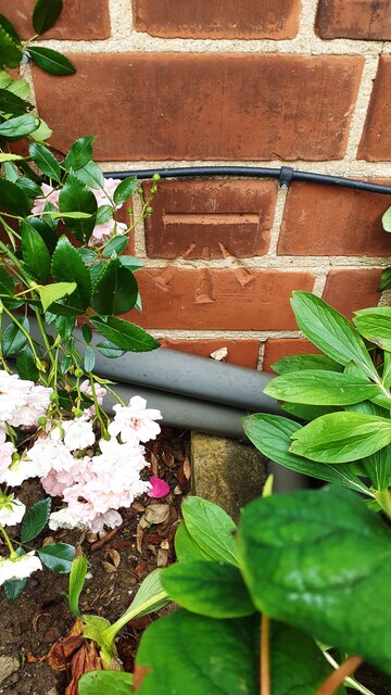
The plantation boasts an impressive array of plant species, with an abundance of wildflowers, ferns, and mosses decorating the forest floor. This rich biodiversity attracts a plethora of birds, butterflies, and small mammals, making it a haven for nature enthusiasts and birdwatchers.
In addition to its natural beauty, Gas House Plantation offers recreational opportunities. A picnic area is available for visitors to enjoy a leisurely lunch amidst the scenic surroundings. The plantation also provides educational programs and guided tours, allowing visitors to learn about the flora, fauna, and history of the area.
Gas House Plantation is easily accessible, with ample parking and well-marked entrances. Whether seeking a peaceful stroll, a family outing, or a nature-based educational experience, Gas House Plantation in Lincolnshire offers a delightful escape into the beauty of the natural world.
If you have any feedback on the listing, please let us know in the comments section below.
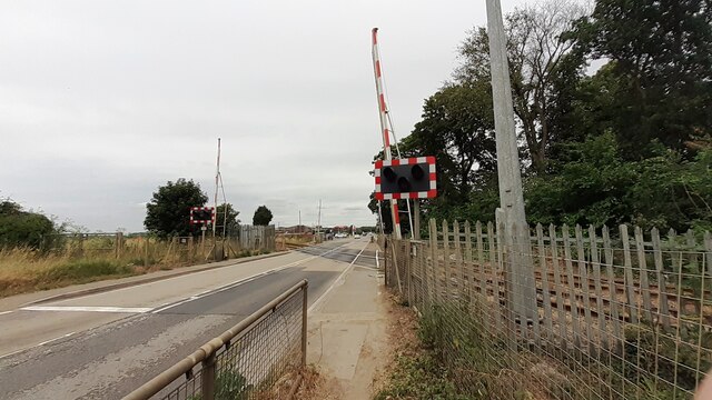
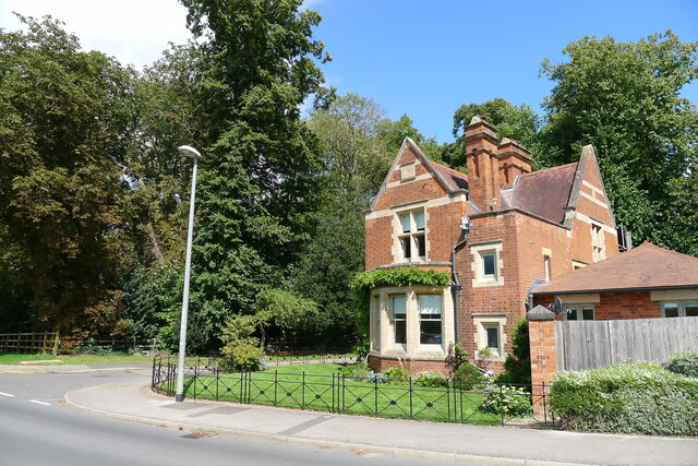
Gas House Plantation Images
Images are sourced within 2km of 52.999164/-0.46422972 or Grid Reference TF0345. Thanks to Geograph Open Source API. All images are credited.


Gas House Plantation is located at Grid Ref: TF0345 (Lat: 52.999164, Lng: -0.46422972)
Administrative County: Lincolnshire
District: North Kesteven
Police Authority: Lincolnshire
What 3 Words
///fuses.flinch.slyly. Near Sleaford, Lincolnshire
Nearby Locations
Related Wikis

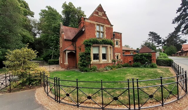
South Rauceby Hall
South Rauceby Hall, South Rauceby, Lincolnshire, England is a country house dating from the mid-19th century. It was designed by William Burn in 1842 for...

South Rauceby
South Rauceby is a village and civil parish in the North Kesteven district of Lincolnshire, England. It is situated 2.5 miles (4.0 km) west from Sleaford...

North Rauceby
North Rauceby is a village and civil parish in the North Kesteven district of Lincolnshire, England. It is situated 4 miles (6 km) north-west from Sleaford...

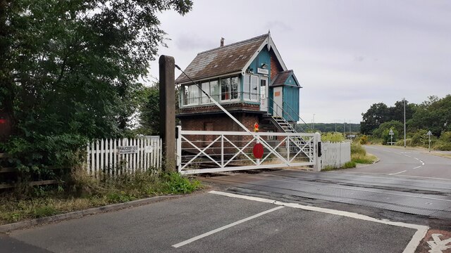
Rauceby railway station
Rauceby railway station is a station near the town of Sleaford, Lincolnshire, England, lying close to the western border of the Parish of Old Sleaford...

Rauceby Hospital
Rauceby Hospital, originally called Kesteven County Asylum, is a now-defunct mental institution in the parish of Quarrington, Lincolnshire, England. Originally...
St Botolph's Church, Quarrington
St Botolph's Church is an Anglican church in Quarrington in Lincolnshire, England. The area has been settled since at least the Anglo-Saxon period, and...

Quarrington, Lincolnshire
Quarrington is a village and former civil parish, now part of the civil parish of Sleaford, in the North Kesteven district of Lincolnshire, England. The...

No. 16 Squadron RAF
Number 16 Squadron Royal Air Force, nicknamed 'the Saints', is a flying squadron of the Royal Air Force (RAF) who currently provide elementary flying training...
Nearby Amenities
Located within 500m of 52.999164,-0.46422972Have you been to Gas House Plantation?
Leave your review of Gas House Plantation below (or comments, questions and feedback).