Old Lands

Wood, Forest in Surrey Waverley

England

Old Lands

Burningfold Manor A grade II listed building, 16th century but much extended later. The Historic England map marker for this is misplaced on a range of stables off to the left, part of the stud farm here.
Burningfold Manor Credit: Robin Webster

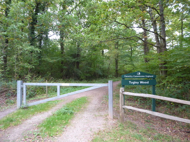
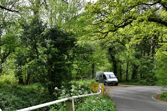
Old Lands, Surrey (Wood, Forest) is a historic and picturesque area located in the county of Surrey, England. Nestled amidst the stunning Surrey Hills, this region is renowned for its natural beauty and rich cultural heritage. Old Lands is characterized by its dense woodlands, pristine forests, and a tranquil atmosphere that makes it a haven for nature enthusiasts and those seeking an escape from the hustle and bustle of city life.

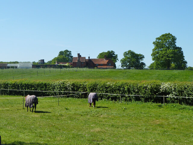
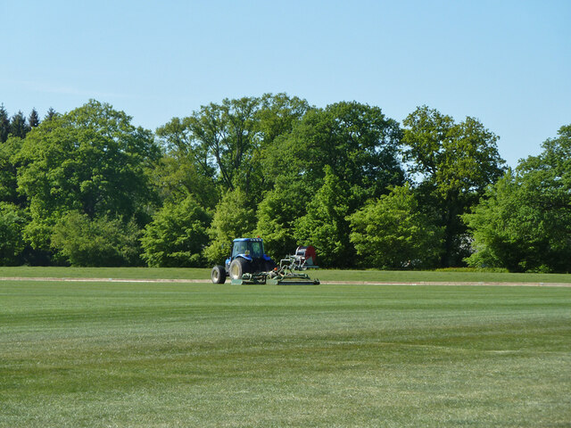
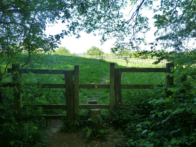
The woodlands in Old Lands are teeming with a diverse range of flora and fauna, making it a haven for wildlife. Visitors can expect to encounter a variety of bird species, deer, squirrels, and other small mammals during their explorations. The lush greenery, towering trees, and babbling brooks create a serene environment that is perfect for hiking, cycling, or simply enjoying a leisurely walk.

In addition to its natural beauty, Old Lands boasts a rich history that is evident in the numerous ancient ruins and landmarks scattered throughout the area. The remnants of old castles, churches, and manor houses add a touch of mystique to the landscape and provide visitors with a glimpse into the past.

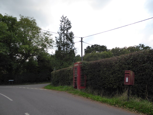
Old Lands is also home to several quaint villages and charming country pubs, where visitors can enjoy a traditional English meal or sample locally brewed ales. The warm and welcoming community ensures that visitors feel right at home and are able to immerse themselves in the local culture.

Overall, Old Lands, Surrey (Wood, Forest) is a hidden gem that offers a unique blend of natural beauty, historical significance, and a warm community spirit. It is a haven for those seeking solace in nature and an ideal destination for anyone looking to experience the charm of rural England.

If you have any feedback on the listing, please let us know in the comments section below.

Old Lands Images

Images are sourced within 2km of 51.095563/-0.59705511 or Grid Reference SU9833. Thanks to Geograph Open Source API. All images are credited.

Burningfold Manor A grade II listed building, 16th century but much extended later. The Historic England map marker for this is misplaced on a range of stables off to the left, part of the stud farm here.
Burningfold Manor
A grade II listed building, 16th century but much extended later. The Historic England map marker for this is misplaced on a range of stables off to the left, part of the stud farm here.
Tractor, Burningfold Polo Club Equipped for mowing the field.
Tractor, Burningfold Polo Club
Equipped for mowing the field.
Footpath towards Burningfold Manor Leaving Forestry Commission woodland.
Footpath towards Burningfold Manor
Leaving Forestry Commission woodland.
2016: a year on Geograph (Day 287) Approaching the junction of Plaistow Road and Fisher Lane
2016: a year on Geograph (Day 287)
Approaching the junction of Plaistow Road and Fisher Lane
Exploring eastwards along the Bashire (6) Looking from Shillinglee Park Road into Pickhurst Road
Running total: 25 B points
Exploring eastwards along the Bashire (6)
Looking from Shillinglee Park Road into Pickhurst Road Running total: 25 B points
Exploring eastwards along the Bashire (7) Footpath sign opposite Robin Farm Racing Stables
Exploring eastwards along the Bashire (7)
Footpath sign opposite Robin Farm Racing Stables
Exploring eastwards along the Bashire (8) Entrance to Tugley Wood
Running total: 27 B points
Exploring eastwards along the Bashire (8)
Entrance to Tugley Wood Running total: 27 B points
Exploring eastwards along the Bashire (9) Looking south-southwest down Plaistow Road
Running total: 28 B points
Exploring eastwards along the Bashire (9)
Looking south-southwest down Plaistow Road Running total: 28 B points
Warco House near Chiddingfold Warco make engineering tools <span class="nowrap"><a title="https://www.warco.co.uk/" rel="nofollow ugc noopener" href="https://www.warco.co.uk/">Link</a><img style="margin-left:2px;" alt="External link" title="External link - shift click to open in new window" src="https://s1.geograph.org.uk/img/external.png" width="10" height="10"/></span>
Warco House near Chiddingfold
Warco make engineering tools LinkExternal link
Warco House near Chiddingfold Making engineering tools <span class="nowrap"><a title="https://www.warco.co.uk/" rel="nofollow ugc noopener" href="https://www.warco.co.uk/">Link</a><img style="margin-left:2px;" alt="External link" title="External link - shift click to open in new window" src="https://s1.geograph.org.uk/img/external.png" width="10" height="10"/></span>
Warco House near Chiddingfold
Making engineering tools LinkExternal link
Fisher Lane south of Chiddingfold
Pickhurst Road, Chiddingfold
Fisher Lane
Fisher Lane
Track to Durfold Wood
Durfold Wood
Durfold Wood
Highstreet Green: River passing under White Beech Lane
Highstreet Green: Parking area on a sharp bend in White Beech Lane
2020 vision: Day 267 It's about ten to nine and this gent's already out shooting at Dunfold Ryse. A bit early. Don't shooting parties have a hearty breakfast before they begin. And where are his friends. And how did he get up on this very high plinth. And why didn't I see him re-load, or indeed hear the crack of his shotgun?
Temperature 16C
BBC Radio Four News, The Today Programme, closing headline, 9am: Dominic Raab has defended the government's latest Coronavirus restrictions, saying they are "targeted and balanced".
2020 vision: Day 267
It's about ten to nine and this gent's already out shooting at Dunfold Ryse. A bit early. Don't shooting parties have a hearty breakfast before they begin. And where are his friends. And how did he get up on this very high plinth. And why didn't I see him re-load, or indeed hear the crack of his shotgun? Temperature 16C BBC Radio Four News, The Today Programme, closing headline, 9am: Dominic Raab has defended the government's latest Coronavirus restrictions, saying they are "targeted and balanced".
Show me another place!

Old Lands is located at Grid Ref: SU9833 (Lat: 51.095563, Lng: -0.59705511)

Administrative County: Surrey

District: Waverley

Police Authority: Surrey

What 3 Words

///honestly.imparting.oath. Near Chiddingfold, Surrey

Related Wikis

The Farm (recording studio)

The Farm (also known as Fisher Lane Farm) was a recording studio in Chiddingfold, Surrey owned by the rock band Genesis. The group bought the property...

Chiddingfold Forest

Chiddingfold Forest is a 542.5-hectare (1,341-acre) biological Site of Special Scientific Interest in Chiddingfold in Surrey and West Sussex. One part...

Pickhurst

Pickhurst is a grade II* listed house set in 130 acres (53 ha) of land near Chiddingfold, Surrey, England. == History == It was designed by the Scottish...

Shillinglee

Shillinglee is an 18th-century house and estate in West Sussex, England near the Surrey border, in between the villages of Chiddingfold and Plaistow. It...

Chiddingfold

Chiddingfold is a village and civil parish in the Weald in the Waverley district of Surrey, England. It lies on the A283 road between Milford and Petworth...

St Teresa of Avila Church, Chiddingfold

St Teresa of Avila Church is a Roman Catholic Parish church in Chiddingfold, Surrey. It is situated on the corner of Petworth Road and Woodside Road in...

Dunsfold

Dunsfold is a village in the borough of Waverley, Surrey, England, 8.7 miles (14.0 kilometres) south of Guildford. It lies in the Weald and reaches in...

Shillinglee Lake

Shillinglee Lake is a 17-hectare (42-acre) biological Site of Special Scientific Interest west of Plaistow in West Sussex.The lake has been designated...

Nearby Amenities

Located within 500m of 51.095563,-0.59705511
Tugley Wood
Access: permissive
Natural: wood
Operator: Forestry Commission
Lat/Long: 51.092437/-0.5998047
The data included in this document is from www.openstreetmap.org. The data is made available under ODbL.

Have you been to Old Lands?

Leave your review of Old Lands below (or comments, questions and feedback).