Peartree Hanger

Wood, Forest in Surrey Waverley

England

Peartree Hanger

Woodland track going southwards from the Sussex Border Path(2)
Woodland track going southwards from the Sussex Border Path(2) Credit: Shazz

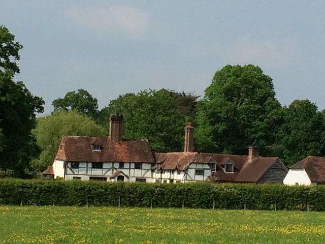
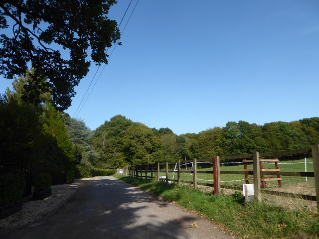
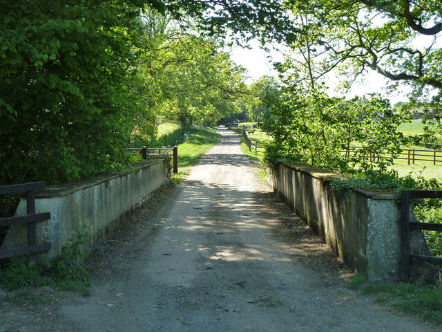
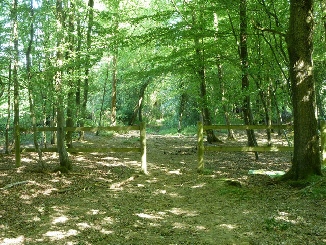
Peartree Hanger is a picturesque woodland located in Surrey, England. It is situated in the southern part of the county, near the town of Guildford. The hanger is known for its dense, ancient forest and is a popular destination for nature enthusiasts and hikers.

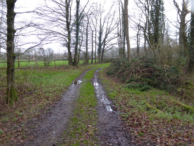
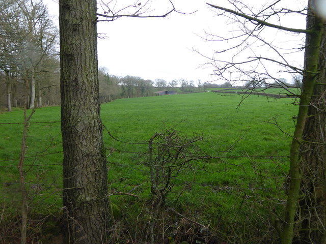
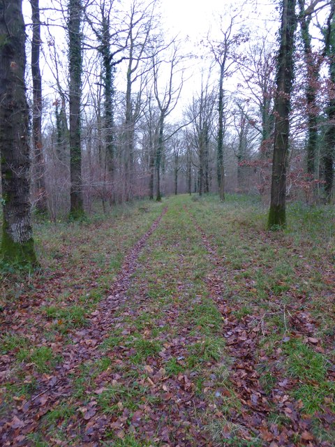
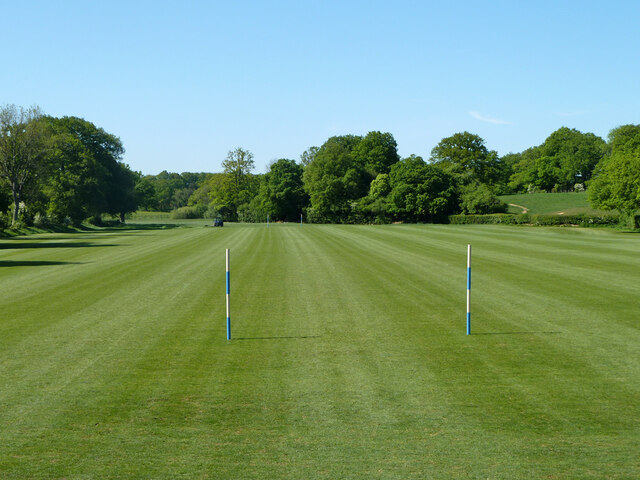
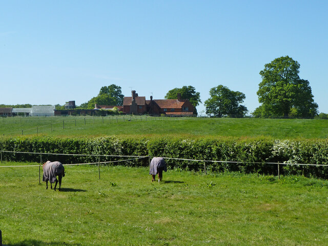
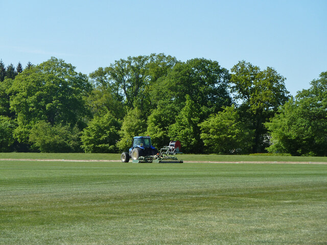
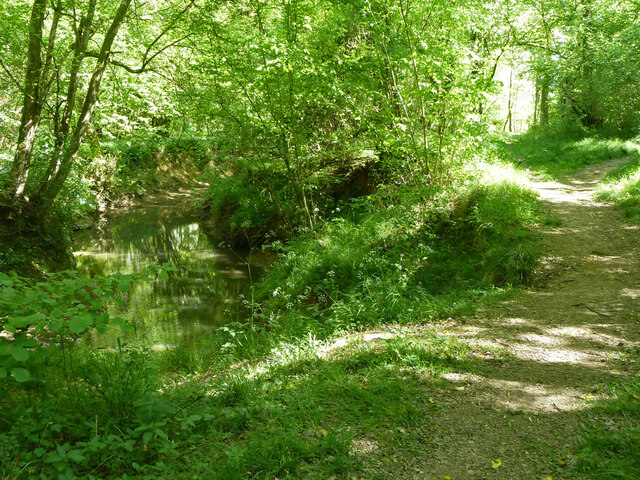
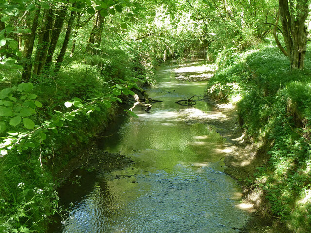
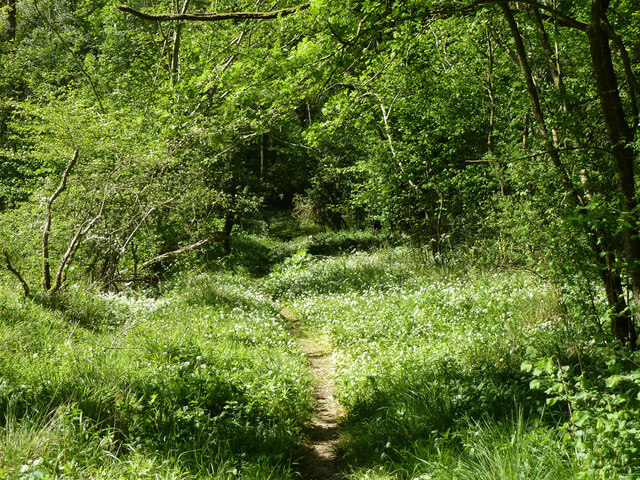
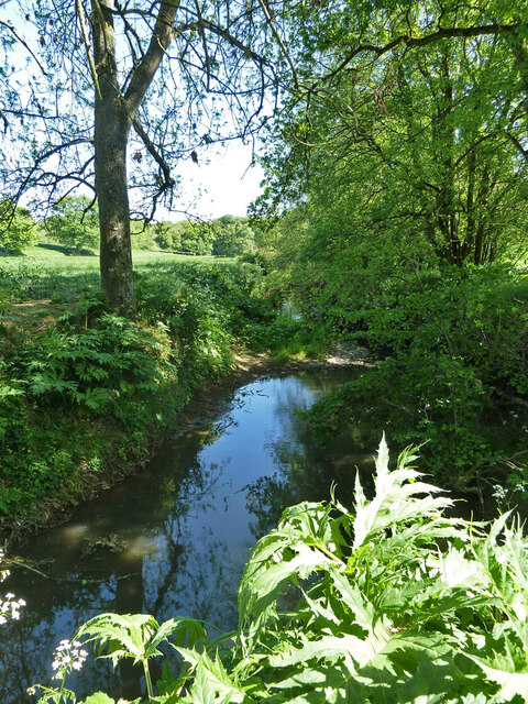
Covering an area of approximately 100 acres, Peartree Hanger is primarily composed of mixed broadleaf trees, including oak, beech, and ash. These towering trees provide a dense canopy, creating a tranquil and shady atmosphere within the woodland. The forest floor is covered in a thick layer of leaf litter, giving it a rustic and natural appearance.

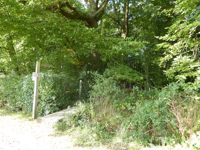
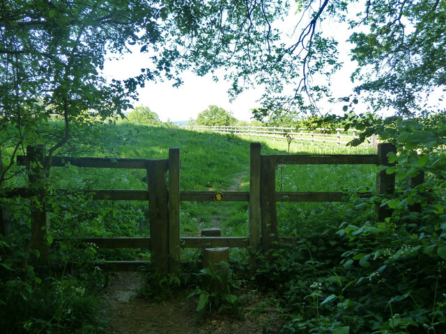
The hanger is home to a diverse range of wildlife, including various bird species, small mammals, and insects. It is especially known for its population of woodpeckers, which can often be heard drumming on the trunks of trees. There are also several marked trails within the woodland, allowing visitors to explore the area and discover its hidden treasures.

Peartree Hanger is a designated Site of Special Scientific Interest (SSSI) due to its biological and geological importance. The woodland has a rich history, with evidence of human activity dating back centuries. There are remnants of old charcoal burning platforms, indicating the historical use of the woodland for industry.

Overall, Peartree Hanger is a captivating and diverse woodland, offering visitors a chance to immerse themselves in nature and explore its natural beauty.

If you have any feedback on the listing, please let us know in the comments section below.

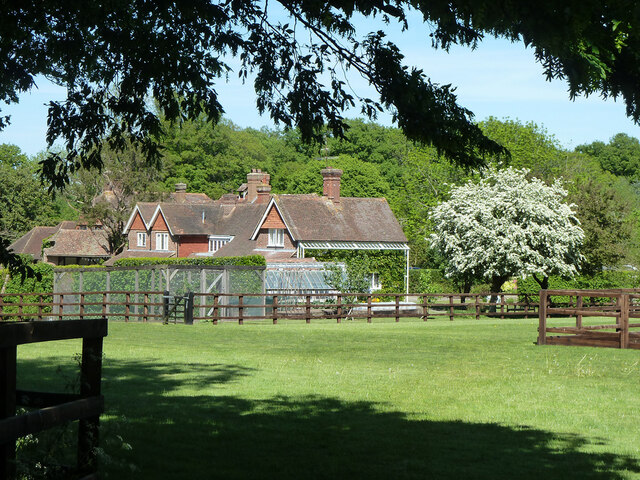
Peartree Hanger Images

Images are sourced within 2km of 51.093449/-0.58797966 or Grid Reference SU9833. Thanks to Geograph Open Source API. All images are credited.

Woodland track going southwards from the Sussex Border Path(2)
View across field to large barn On the left is the western edge of Weald Barkfold Copse.
View across field to large barn
On the left is the western edge of Weald Barkfold Copse.
Woodland track going south from the Sussex Border Path (1)
Howicks, Hurlands Lane, Dunsfold Grade II listed building (incorrectly listed as 'Lowicks') <span class="nowrap"><a title="http://www.heritagegateway.org.uk/Gateway/Results_Single.aspx?uid=1044357&resourceID=5" rel="nofollow ugc noopener" href="http://www.heritagegateway.org.uk/Gateway/Results_Single.aspx?uid=1044357&resourceID=5">Link</a><img style="margin-left:2px;" alt="External link" title="External link - shift click to open in new window" src="https://s1.geograph.org.uk/img/external.png" width="10" height="10"/></span>
Howicks, Hurlands Lane, Dunsfold
Grade II listed building (incorrectly listed as 'Lowicks') LinkExternal link
Exploring eastwards along the Bashire (10) Road passing Inside Copse
Exploring eastwards along the Bashire (10)
Road passing Inside Copse
Footpath sign on  White House Lane It goes through Inside Copse to Hurlands Copse
Footpath sign on White House Lane
It goes through Inside Copse to Hurlands Copse
Polo field near Burningfold Manor Stud
Bridge over River Lox A public bridleway and private road to Burningfold Manor Stud.
Bridge over River Lox
A public bridleway and private road to Burningfold Manor Stud.
Burningfold Manor A grade II listed building, 16th century but much extended later. The Historic England map marker for this is misplaced on a range of stables off to the left, part of the stud farm here.
Burningfold Manor
A grade II listed building, 16th century but much extended later. The Historic England map marker for this is misplaced on a range of stables off to the left, part of the stud farm here.
Tractor, Burningfold Polo Club Equipped for mowing the field.
Tractor, Burningfold Polo Club
Equipped for mowing the field.
Footpath towards Burningfold Manor Leaving Forestry Commission woodland.
Footpath towards Burningfold Manor
Leaving Forestry Commission woodland.
Footpath by River Lox Passing through Forestry Commission woodland.
Footpath by River Lox
Passing through Forestry Commission woodland.
River Lox Passing through Forestry Commission woodland.
River Lox
Passing through Forestry Commission woodland.
Footpath through Hogwood An extensive area of Forestry Commission woodland.
Footpath through Hogwood
An extensive area of Forestry Commission woodland.
River Lox The bane of this river system is Giant Hogweed, some of which is coming up in the foreground. It grows beside the river on the flood plain, and so sometimes interferes with footpaths. It should not be touched, as it can cause severe blistering, particularly when exposed to sunlight.
River Lox
The bane of this river system is Giant Hogweed, some of which is coming up in the foreground. It grows beside the river on the flood plain, and so sometimes interferes with footpaths. It should not be touched, as it can cause severe blistering, particularly when exposed to sunlight.
Footpath towards Burningfold Manor
Garden Cottage, Upper Ifold Upper Ifold House is largely hidden beyond.
Garden Cottage, Upper Ifold
Upper Ifold House is largely hidden beyond.
Bridleway leaving Forestry Commission woodland Leaving the Hogwood complex towards Upper Ifold.
Bridleway leaving Forestry Commission woodland
Leaving the Hogwood complex towards Upper Ifold.
Show me another place!

Peartree Hanger is located at Grid Ref: SU9833 (Lat: 51.093449, Lng: -0.58797966)

Administrative County: Surrey

District: Waverley

Police Authority: Surrey

What 3 Words

///placed.tolerates.weeds. Near Chiddingfold, Surrey

Related Wikis

Chiddingfold Forest

Chiddingfold Forest is a 542.5-hectare (1,341-acre) biological Site of Special Scientific Interest in Chiddingfold in Surrey and West Sussex. One part...

The Farm (recording studio)

The Farm (also known as Fisher Lane Farm) was a recording studio in Chiddingfold, Surrey owned by the rock band Genesis. The group bought the property...

Pickhurst

Pickhurst is a grade II* listed house set in 130 acres (53 ha) of land near Chiddingfold, Surrey, England. == History == It was designed by the Scottish...

Shillinglee

Shillinglee is an 18th-century house and estate in West Sussex, England near the Surrey border, in between the villages of Chiddingfold and Plaistow. It...

Plaistow, West Sussex

Plaistow ( PLAST-oh) is a village and civil parish in the north of the Chichester District of West Sussex, England. There is a village green, a recreation...

Dunsfold

Dunsfold is a village in the borough of Waverley, Surrey, England, 8.7 miles (14.0 kilometres) south of Guildford. It lies in the Weald and reaches in...

Shillinglee Lake

Shillinglee Lake is a 17-hectare (42-acre) biological Site of Special Scientific Interest west of Plaistow in West Sussex.The lake has been designated...

Chiddingfold

Chiddingfold is a village and civil parish in the Weald in the Waverley district of Surrey, England. It lies on the A283 road between Milford and Petworth...

Nearby Amenities

Located within 500m of 51.093449,-0.58797966
Durfold
Building: yes
Source: npe
Lat/Long: 51.090105/-0.5835811
Burntwood Kennels & Cattery
Building: yes
Lat/Long: 51.0946527/-0.5813649
Barrier: stile
Lat/Long: 51.0909952/-0.5918231
Barrier: stile
Lat/Long: 51.0912309/-0.5914028
Barrier: stile
Lat/Long: 51.0917937/-0.5885501
Barrier: stile
Lat/Long: 51.0940818/-0.5836295
Barrier: stile
Lat/Long: 51.0941905/-0.5817896
The data included in this document is from www.openstreetmap.org. The data is made available under ODbL.

Have you been to Peartree Hanger?

Leave your review of Peartree Hanger below (or comments, questions and feedback).