Tugley Wood
Wood, Forest in Surrey Waverley
England
Tugley Wood
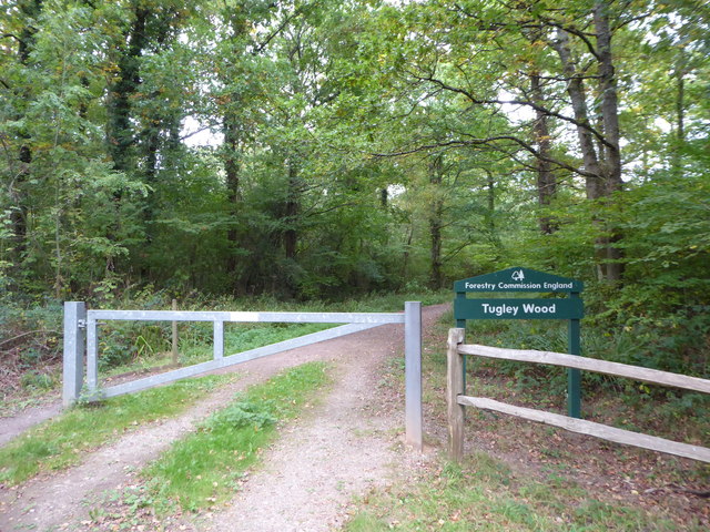
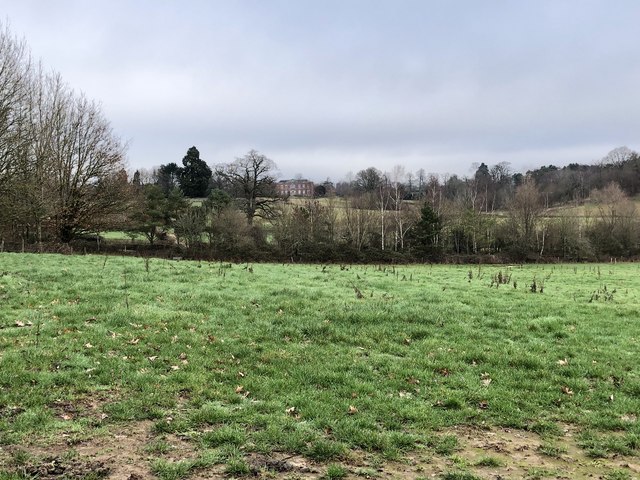
Tugley Wood is a captivating woodland located in Surrey, England. Covering an area of approximately 100 acres, this enchanting forest is nestled within the Surrey Hills Area of Outstanding Natural Beauty. Tugley Wood is known for its dense and diverse vegetation, making it a haven for wildlife and nature enthusiasts alike.
The wood is primarily composed of a mixture of broadleaf trees, including oak, birch, and beech, which create a rich and vibrant canopy overhead. The forest floor is adorned with a tapestry of ferns, wildflowers, and mosses, adding to its ethereal beauty.
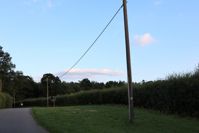
Tugley Wood is crisscrossed with a network of footpaths and trails, allowing visitors to explore its natural wonders. Meandering through this woodland, one can encounter a variety of wildlife, including deer, badgers, foxes, and numerous bird species. The tranquil atmosphere and abundance of wildlife make Tugley Wood a popular spot for birdwatching and nature photography.
The wood not only provides a natural habitat for wildlife but also offers a recreational retreat for visitors. It is a cherished location for walking, hiking, and picnicking, with designated areas available for these activities. Moreover, the wood features a small pond, which further enhances its allure and attracts additional species of birds and amphibians.
Tugley Wood is an idyllic destination, allowing visitors to immerse themselves in the beauty of nature and escape the hustle and bustle of everyday life. Whether it's exploring its winding trails, observing its diverse wildlife, or simply enjoying a peaceful picnic, Tugley Wood promises a memorable and rejuvenating experience for all who venture into its serene embrace.
If you have any feedback on the listing, please let us know in the comments section below.
Tugley Wood Images
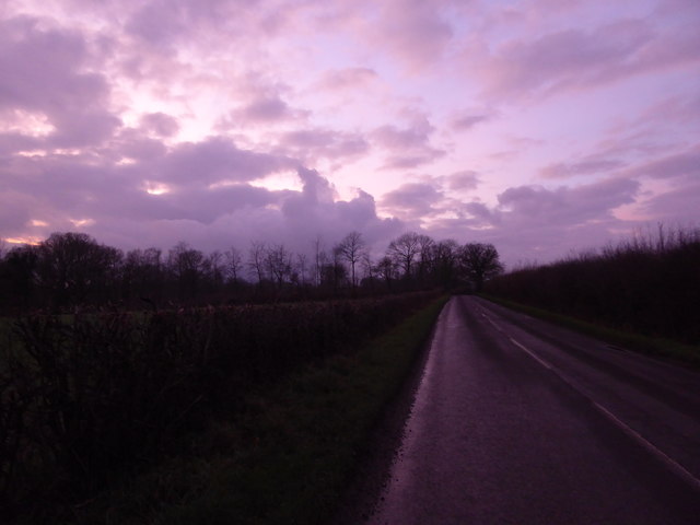
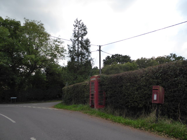
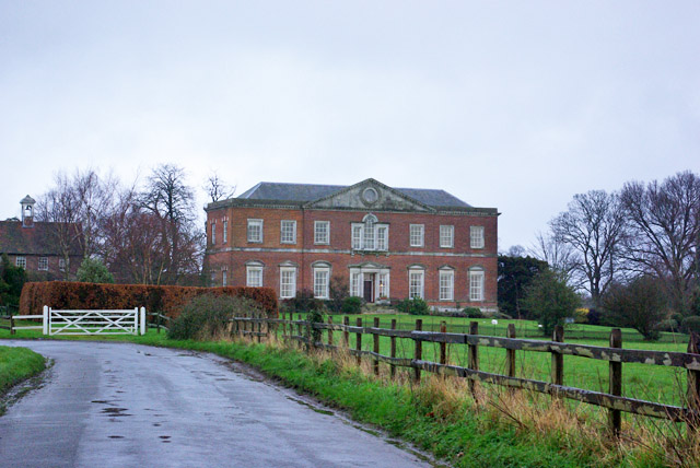
Images are sourced within 2km of 51.092321/-0.6011088 or Grid Reference SU9833. Thanks to Geograph Open Source API. All images are credited.


Tugley Wood is located at Grid Ref: SU9833 (Lat: 51.092321, Lng: -0.6011088)
Administrative County: Surrey
District: Waverley
Police Authority: Surrey
What 3 Words
///betraying.shampoo.ages. Near Chiddingfold, Surrey
Nearby Locations
Related Wikis

The Farm (recording studio)
The Farm (also known as Fisher Lane Farm) was a recording studio in Chiddingfold, Surrey owned by the rock band Genesis. The group bought the property...

Chiddingfold Forest
Chiddingfold Forest is a 542.5-hectare (1,341-acre) biological Site of Special Scientific Interest in Chiddingfold in Surrey and West Sussex. One part...

Pickhurst
Pickhurst is a grade II* listed house set in 130 acres (53 ha) of land near Chiddingfold, Surrey, England. == History == It was designed by the Scottish...

Shillinglee
Shillinglee is an 18th-century house and estate in West Sussex, England near the Surrey border, in between the villages of Chiddingfold and Plaistow. It...

Shillinglee Lake
Shillinglee Lake is a 17-hectare (42-acre) biological Site of Special Scientific Interest west of Plaistow in West Sussex.The lake has been designated...

Chiddingfold
Chiddingfold is a village and civil parish in the Weald in the Waverley district of Surrey, England. It lies on the A283 road between Milford and Petworth...

St Teresa of Avila Church, Chiddingfold
St Teresa of Avila Church is a Roman Catholic Parish church in Chiddingfold, Surrey. It is situated on the corner of Petworth Road and Woodside Road in...

Ramster
Ramster Garden is an open garden, near Chiddingfold, Surrey, covering over 20 acres (81,000 m2). First landscaped and laid out in the 1890s by Gauntlett...
Nearby Amenities
Located within 500m of 51.092321,-0.6011088Have you been to Tugley Wood?
Leave your review of Tugley Wood below (or comments, questions and feedback).