Kirton Wood

Wood, Forest in Lincolnshire South Kesteven

England

Kirton Wood

Saint Peter's Church, Ropsley. The Anglican parish church is dedicated to Saint Peter and appears to date from Norman times. Some parts of the church appear also to be of Saxon origin. The building dates back to at least 1380.
Saint Peter's Church, Ropsley. Credit: Bob Danylec

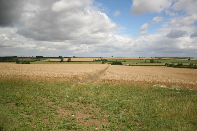
Kirton Wood is a charming forest located in Lincolnshire, England. Covering an area of approximately 89 hectares, this woodland is a haven for nature enthusiasts and outdoor lovers alike. Situated near the village of Kirton, the wood is easily accessible and offers a peaceful retreat from the hustle and bustle of everyday life.

The wood boasts a diverse range of tree species, including oak, birch, and ash, creating a picturesque and serene environment. These towering trees provide ample shade and shelter for a wide array of flora and fauna. Visitors to the wood can expect to encounter an abundance of wildflowers, ferns, and mosses, which add to the wood's natural beauty.

The woodland is also home to various wildlife species. Birdwatchers can spot a variety of bird species, such as woodpeckers, owls, and thrushes. Other creatures that call Kirton Wood their home include badgers, foxes, and squirrels. Nature enthusiasts may also come across several butterfly species fluttering among the flowers.

Kirton Wood offers a network of well-maintained walking trails, allowing visitors to explore its enchanting landscape. The paths wind through the forest, offering glimpses of peaceful ponds and babbling brooks. These trails also provide access to several picnic areas, making it an ideal spot for a relaxing day out with family and friends.

In summary, Kirton Wood is a captivating forest in Lincolnshire, boasting a rich variety of plant and animal life. Its tranquil atmosphere and well-marked trails make it a perfect destination for those seeking a peaceful retreat in nature.

If you have any feedback on the listing, please let us know in the comments section below.
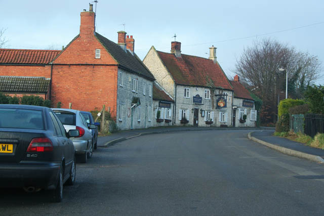
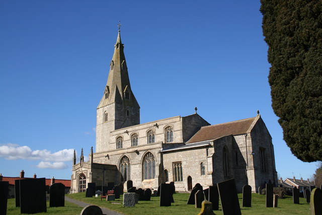
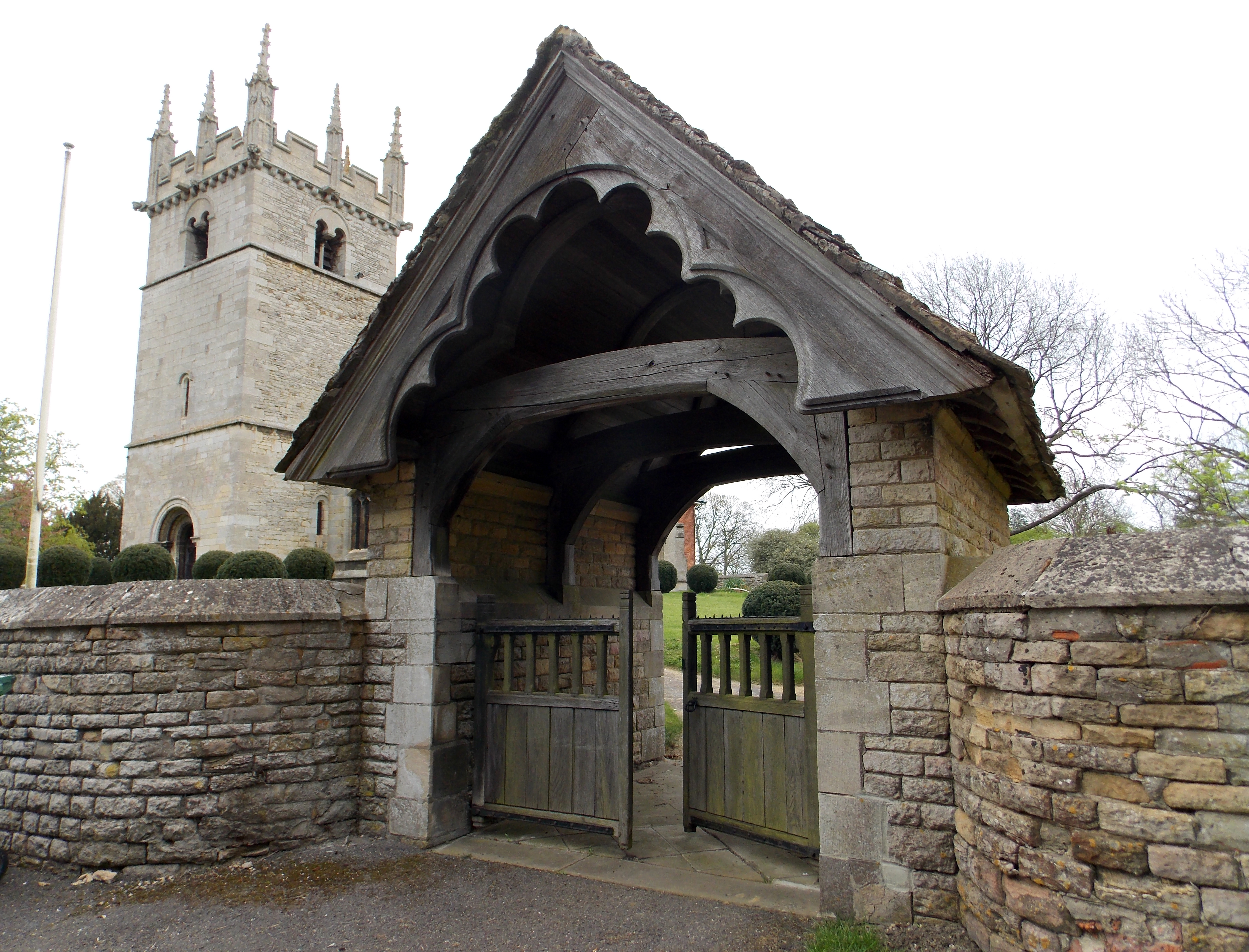
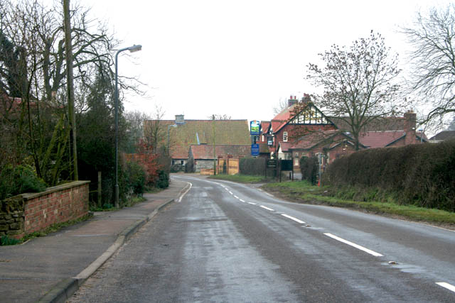
Kirton Wood Images

Images are sourced within 2km of 52.882778/-0.54416899 or Grid Reference SK9832. Thanks to Geograph Open Source API. All images are credited.

Saint Peter's Church, Ropsley. The Anglican parish church is dedicated to Saint Peter and appears to date from Norman times. Some parts of the church appear also to be of Saxon origin. The building dates back to at least 1380.
Saint Peter's Church, Ropsley.
The Anglican parish church is dedicated to Saint Peter and appears to date from Norman times. Some parts of the church appear also to be of Saxon origin. The building dates back to at least 1380.
Somerby Lane
Somerby Lane
Drainage Ditch, Somerby Lane
New England Cottage, near Humby, Lincolnshire The only building in this square; peaceful isolation but only a short walk from the village.
New England Cottage, near Humby, Lincolnshire
The only building in this square; peaceful isolation but only a short walk from the village.
Footpath near Humby, Lincolnshire A pleasant country walk along a small steam to Kirton Wood in <a href="https://www.geograph.org.uk/gridref/SK9832">SK9832</a>.
Footpath near Humby, Lincolnshire
A pleasant country walk along a small steam to Kirton Wood in SK9832.
The Ring Dam at Ropsley The remains of an unusual 300 years old ring dam now identified by a group of trees, ½ mile south east of Ropsley which was once used as a sheep wash. The footpath from the village to Little Humby passes the ring dam.
The Ring Dam at Ropsley
The remains of an unusual 300 years old ring dam now identified by a group of trees, ½ mile south east of Ropsley which was once used as a sheep wash. The footpath from the village to Little Humby passes the ring dam.
The Ring Dam at Ropsley Behind the earth bank the stream is several metres wide creating a semi circular channel. The water is slow moving and appears somewhat stagnant under the overgrown trees. Although rather untidy this must be a haven for wildlife. Some work had been done to tidy the growth.
The Ring Dam at Ropsley
Behind the earth bank the stream is several metres wide creating a semi circular channel. The water is slow moving and appears somewhat stagnant under the overgrown trees. Although rather untidy this must be a haven for wildlife. Some work had been done to tidy the growth.
Ready for harvesting Farmland off the B1176 near Boothby Pagnell.
Ready for harvesting
Farmland off the B1176 near Boothby Pagnell.
B1176 looking towards Old Somerby
Countryside at Brackenbury Fields Boothby Little Wood on the far left.
Countryside at Brackenbury Fields
Boothby Little Wood on the far left.
Brackenbury Fields, Boothby Pagnell A large mixed farm which breeds Texel sheep. See <span class="nowrap"><a title="http://www.texel.co.uk/thebreed/thebreed.php" rel="nofollow ugc noopener" href="http://www.texel.co.uk/thebreed/thebreed.php">Link</a><img style="margin-left:2px;" alt="External link" title="External link - shift click to open in new window" src="https://s1.geograph.org.uk/img/external.png" width="10" height="10"/></span>  for history of the breed.
Brackenbury Fields, Boothby Pagnell
A large mixed farm which breeds Texel sheep. See LinkExternal link for history of the breed.
Grantham Road, Ropsley The village of Ropsley was the birthplace of Richard Fox, the Tudor Bishop who founded the Grammar School at Grantham and Corpus Christi College at Oxford. The public house is the Ropsley Fox, built of the local creamy-grey limestone and dating back to 1657. It used to be called the Foxes Brush.
Grantham Road, Ropsley
The village of Ropsley was the birthplace of Richard Fox, the Tudor Bishop who founded the Grammar School at Grantham and Corpus Christi College at Oxford. The public house is the Ropsley Fox, built of the local creamy-grey limestone and dating back to 1657. It used to be called the Foxes Brush.
Footpath near Ropsley The footpath follows a farm track to Willow Farm which is on <a href="https://www.geograph.org.uk/photo/87329">SK9833 : Somerby Lane</a>.
Footpath near Ropsley
The footpath follows a farm track to Willow Farm which is on SK9833 : Somerby Lane.
Grantham Road near Ropsley Looking towards <a href="https://www.geograph.org.uk/photo/130310">SK9734 : Ropsely Rise Wood</a> which can be seen in the centre distance.
Grantham Road near Ropsley
Looking towards SK9734 : Ropsely Rise Wood which can be seen in the centre distance.
Grantham Road near Ropsley Looking east towards Ropsley. The grey cloud on the horizon is a thick sea mist rolling in from the east coast, obliterating the sun as it approaches. This is a weather effect we learn to live with in the area round Grantham and the Vale of Belvoir.
Grantham Road near Ropsley
Looking east towards Ropsley. The grey cloud on the horizon is a thick sea mist rolling in from the east coast, obliterating the sun as it approaches. This is a weather effect we learn to live with in the area round Grantham and the Vale of Belvoir.
The Pastures, Old Somerby Old Somerby is really three villages, Low Somerby at the south end of the village, Old Somerby in the centre and High Somerby at the northeastern end. This photograph shows the street in Low Somerby with farm buildings in limestone. To the left behind these buildings there is an old disused quarry, the source of much of the building stone in the village.
The Pastures, Old Somerby
Old Somerby is really three villages, Low Somerby at the south end of the village, Old Somerby in the centre and High Somerby at the northeastern end. This photograph shows the street in Low Somerby with farm buildings in limestone. To the left behind these buildings there is an old disused quarry, the source of much of the building stone in the village.
Ploughed field between Old Somerby and Boothby Pagnell A sea mist has rolled in from the east coast and only a ghostly impression of the countryside is visible.
Ploughed field between Old Somerby and Boothby Pagnell
A sea mist has rolled in from the east coast and only a ghostly impression of the countryside is visible.
Farmland near Old Somerby Looking towards The Lodge, barely visible on the horizon.
Farmland near Old Somerby
Looking towards The Lodge, barely visible on the horizon.
Show me another place!

Kirton Wood is located at Grid Ref: SK9832 (Lat: 52.882778, Lng: -0.54416899)

Administrative County: Lincolnshire

District: South Kesteven

Police Authority: Lincolnshire

What 3 Words

///tractor.trial.lyricist. Near Grantham, Lincolnshire

Nearby Locations

Kirton Wood Parsonage Wood

Related Wikis

Great Humby

Great Humby is a hamlet in the South Kesteven district of Lincolnshire, England. It lies in the civil parish of Ropsley and Humby, 6 miles (9.7 km) east...

Ropsley

Ropsley is a village in the South Kesteven district of Lincolnshire, England. The village is situated approximately 5 miles (8 km) east from Grantham,...

St Peter's Church, Ropsley

St Peter's Church is a Grade I listed Anglican parish church dedicated to Saint Peter, in Ropsley, Lincolnshire, England. The church is 5 miles (8 km)...

Boothby Pagnell

Boothby Pagnell is a village and civil parish in the South Kesteven district of Lincolnshire, England. The population is now included in the civil parish...

Old Somerby

Old Somerby (pronounced Summerby) is a village and civil parish in the South Kesteven district of Lincolnshire, England, 3 miles (5 km) south-east of Grantham...

Little Humby

Little Humby or Humby is a hamlet in the South Kesteven district of Lincolnshire, England. It lies in the civil parish of Ropsley and Humby, 5 miles (8...

Bitchfield and Bassingthorpe

Bitchfield and Bassingthorpe is a civil parish which includes Boothby Pagnell and Burton Coggles in the South Kesteven district of Lincolnshire, England...

Ingoldsby

Ingoldsby is a small village in the South Kesteven district of Lincolnshire, England. It is situated 7 miles (11 km) south-east from the market town of...

Have you been to Kirton Wood?

Leave your review of Kirton Wood below (or comments, questions and feedback).