Oak Wood

Wood, Forest in Surrey Waverley

England

Oak Wood

Woodland track going southwards from the Sussex Border Path(2)
Woodland track going southwards from the Sussex Border Path(2) Credit: Shazz

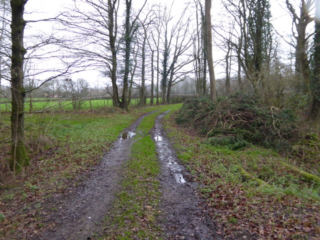
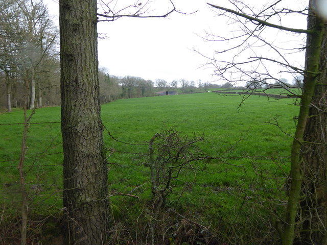
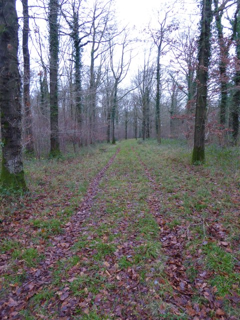
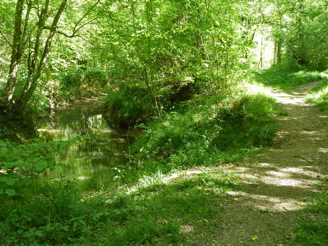
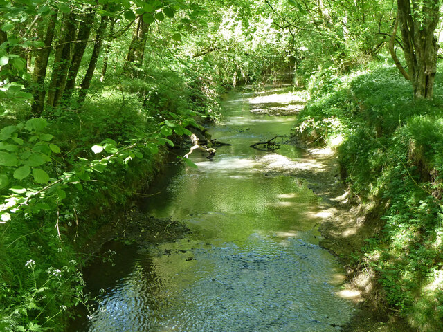
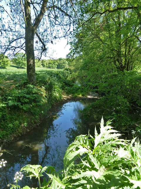
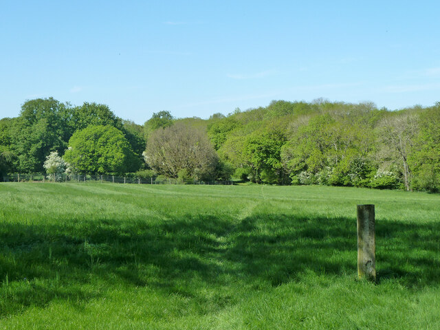
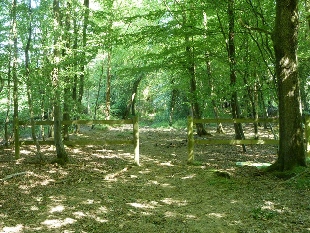
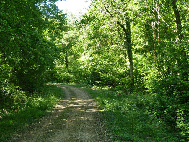
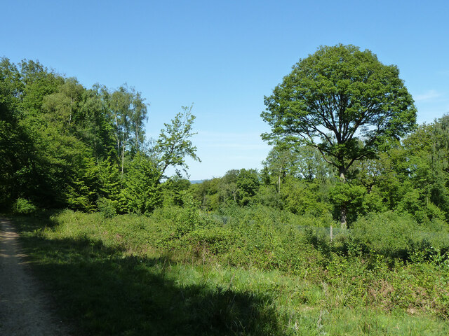
Oak Wood is a captivating forest located in the picturesque county of Surrey, England. Stretching across an area of approximately 50 acres, this woodland is a haven of tranquility and natural beauty. As the name suggests, Oak Wood is primarily composed of majestic oak trees, which dominate the landscape and create a stunning canopy overhead.

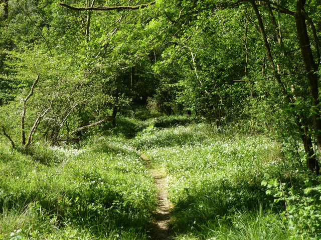
The forest is home to a diverse range of flora and fauna, making it a popular destination for nature enthusiasts and wildlife lovers. The forest floor is covered in a thick layer of moss and fallen leaves, creating a soft and lush carpet underfoot. In springtime, the woodland comes alive with a vibrant display of wildflowers, including bluebells and primroses, adding a burst of color to the surroundings.

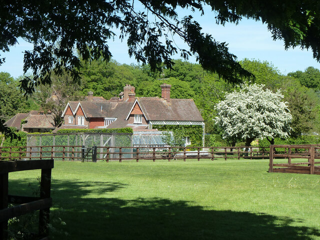
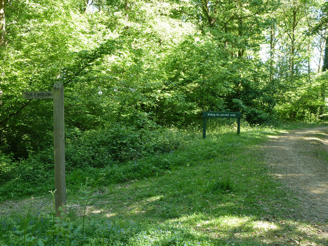
Oak Wood offers a variety of recreational activities for visitors to enjoy. There are well-maintained walking trails that wind their way through the forest, allowing visitors to explore the peaceful surroundings at their own pace. The forest also features picnic areas, where families and friends can relax and enjoy a picnic amidst the serene ambiance.

In addition to its natural beauty, Oak Wood is also steeped in history. The forest has been a part of the local landscape for centuries and has witnessed the ebb and flow of time. It has been a source of timber for various purposes, and remnants of old charcoal kilns can still be found within the woodland.

Overall, Oak Wood in Surrey is a captivating destination that offers a harmonious blend of natural beauty, recreational opportunities, and historical significance. Whether it's for a leisurely stroll, a picnic, or an exploration of the local flora and fauna, this enchanting forest is sure to leave visitors with lasting memories of its serene and timeless charm.

If you have any feedback on the listing, please let us know in the comments section below.
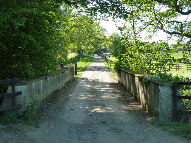
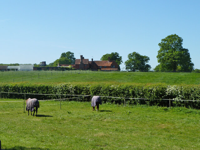
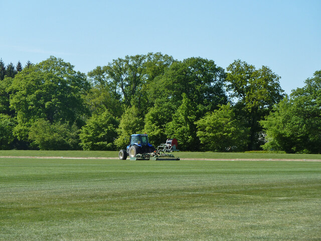
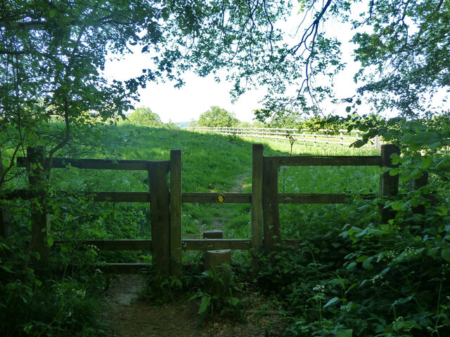
Oak Wood Images

Images are sourced within 2km of 51.092711/-0.5916864 or Grid Reference SU9833. Thanks to Geograph Open Source API. All images are credited.

Woodland track going southwards from the Sussex Border Path(2)
View across field to large barn On the left is the western edge of Weald Barkfold Copse.
View across field to large barn
On the left is the western edge of Weald Barkfold Copse.
Woodland track going south from the Sussex Border Path (1)
Polo field near Burningfold Manor Stud
Bridge over River Lox A public bridleway and private road to Burningfold Manor Stud.
Bridge over River Lox
A public bridleway and private road to Burningfold Manor Stud.
Burningfold Manor A grade II listed building, 16th century but much extended later. The Historic England map marker for this is misplaced on a range of stables off to the left, part of the stud farm here.
Burningfold Manor
A grade II listed building, 16th century but much extended later. The Historic England map marker for this is misplaced on a range of stables off to the left, part of the stud farm here.
Tractor, Burningfold Polo Club Equipped for mowing the field.
Tractor, Burningfold Polo Club
Equipped for mowing the field.
Footpath towards Burningfold Manor Leaving Forestry Commission woodland.
Footpath towards Burningfold Manor
Leaving Forestry Commission woodland.
Footpath by River Lox Passing through Forestry Commission woodland.
Footpath by River Lox
Passing through Forestry Commission woodland.
River Lox Passing through Forestry Commission woodland.
River Lox
Passing through Forestry Commission woodland.
Footpath through Hogwood An extensive area of Forestry Commission woodland.
Footpath through Hogwood
An extensive area of Forestry Commission woodland.
River Lox The bane of this river system is Giant Hogweed, some of which is coming up in the foreground. It grows beside the river on the flood plain, and so sometimes interferes with footpaths. It should not be touched, as it can cause severe blistering, particularly when exposed to sunlight.
River Lox
The bane of this river system is Giant Hogweed, some of which is coming up in the foreground. It grows beside the river on the flood plain, and so sometimes interferes with footpaths. It should not be touched, as it can cause severe blistering, particularly when exposed to sunlight.
Footpath towards Burningfold Manor
Garden Cottage, Upper Ifold Upper Ifold House is largely hidden beyond.
Garden Cottage, Upper Ifold
Upper Ifold House is largely hidden beyond.
Bridleway leaving Forestry Commission woodland Leaving the Hogwood complex towards Upper Ifold.
Bridleway leaving Forestry Commission woodland
Leaving the Hogwood complex towards Upper Ifold.
Woodland path junction In the Hogwood Forestry Commission complex. The public bridleway goes left, but riding is by permit only round to the right.
Woodland path junction
In the Hogwood Forestry Commission complex. The public bridleway goes left, but riding is by permit only round to the right.
Woodland track In the Hogwood Forestry Commission complex.
Woodland track
In the Hogwood Forestry Commission complex.
Small clearing, Upper Ifold Wood In the Hogwood Forestry Commission complex. Part of this clearing is enclosed in a close mesh fence, presumably to keep browsing animals out.
Small clearing, Upper Ifold Wood
In the Hogwood Forestry Commission complex. Part of this clearing is enclosed in a close mesh fence, presumably to keep browsing animals out.
Show me another place!

Oak Wood is located at Grid Ref: SU9833 (Lat: 51.092711, Lng: -0.5916864)

Administrative County: Surrey

District: Waverley

Police Authority: Surrey

What 3 Words

///fillings.thumbnail.enable. Near Chiddingfold, Surrey

Related Wikis

Chiddingfold Forest

Chiddingfold Forest is a 542.5-hectare (1,341-acre) biological Site of Special Scientific Interest in Chiddingfold in Surrey and West Sussex. One part...

The Farm (recording studio)

The Farm (also known as Fisher Lane Farm) was a recording studio in Chiddingfold, Surrey owned by the rock band Genesis. The group bought the property...

Pickhurst

Pickhurst is a grade II* listed house set in 130 acres (53 ha) of land near Chiddingfold, Surrey, England. == History == It was designed by the Scottish...

Shillinglee

Shillinglee is an 18th-century house and estate in West Sussex, England near the Surrey border, in between the villages of Chiddingfold and Plaistow. It...

Nearby Amenities

Located within 500m of 51.092711,-0.5916864
Barrier: stile
Lat/Long: 51.0889545/-0.5938457
Barrier: stile
Lat/Long: 51.0895418/-0.593748
Barrier: stile
Lat/Long: 51.0900525/-0.5939393
Barrier: stile
Lat/Long: 51.0909952/-0.5918231
Barrier: stile
Lat/Long: 51.0912309/-0.5914028
Barrier: stile
Lat/Long: 51.0917937/-0.5885501
The data included in this document is from www.openstreetmap.org. The data is made available under ODbL.

Have you been to Oak Wood?

Leave your review of Oak Wood below (or comments, questions and feedback).