How Wood
Wood, Forest in Bedfordshire
England
How Wood
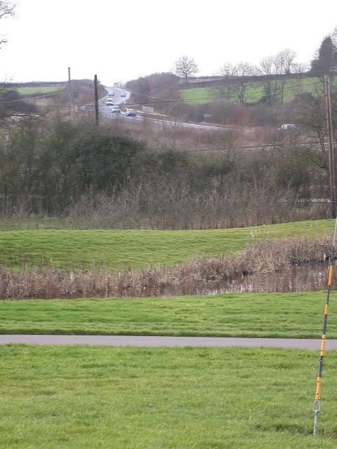
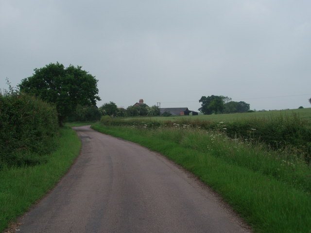
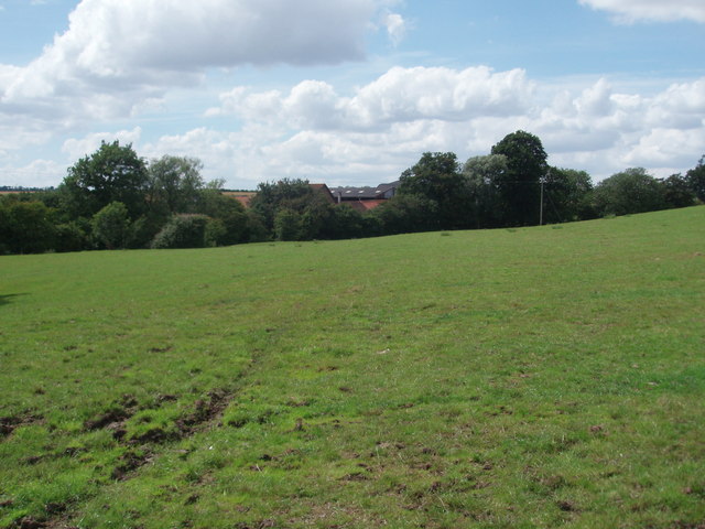
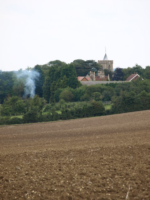
How Wood is a small village located in the county of Bedfordshire, England. Situated in the district of Three Rivers, it is part of the civil parish of Abbots Langley. The village is surrounded by picturesque countryside, including a small forest, which gives it its name.
Wood is a residential area with a mix of housing styles, ranging from modern developments to traditional cottages. The village offers a peaceful and quiet environment, making it an attractive place to live for families and professionals alike.
Despite its tranquil setting, How Wood benefits from good transport links. The nearby M1 motorway provides easy access to London and other major cities, while the nearby towns of Watford and Hemel Hempstead offer a range of amenities, including shopping centers, leisure facilities, and entertainment options.
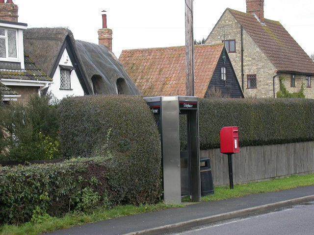
The village itself has limited amenities, with a small convenience store, a post office, and a community center. However, residents can find a wider range of services in the neighboring towns.
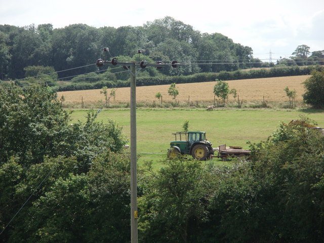
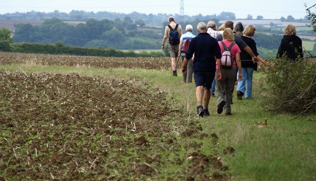
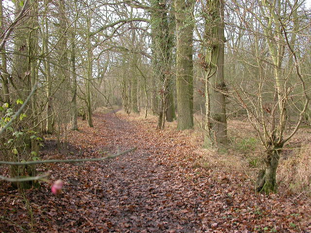
For outdoor enthusiasts, Wood is a great place to explore the surrounding countryside. The nearby forest offers opportunities for walking, cycling, and wildlife spotting. There are also several parks and green spaces within easy reach, providing recreational areas for residents to enjoy.
Overall, How Wood is a charming village that offers a peaceful and scenic living environment, with easy access to nearby towns and cities.
If you have any feedback on the listing, please let us know in the comments section below.
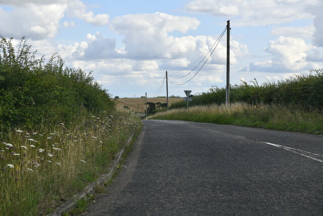
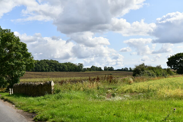
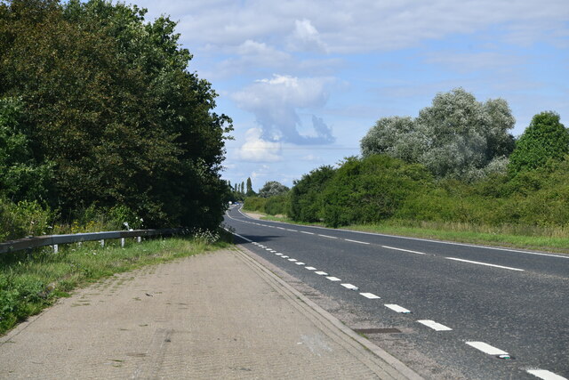
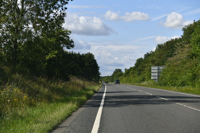
How Wood Images
Images are sourced within 2km of 52.14065/-0.56445567 or Grid Reference SP9850. Thanks to Geograph Open Source API. All images are credited.


How Wood is located at Grid Ref: SP9850 (Lat: 52.14065, Lng: -0.56445567)
Unitary Authority: Bedford
Police Authority: Bedfordshire
What 3 Words
///dozens.universe.pepper. Near Stagsden, Bedfordshire
Nearby Locations
Related Wikis

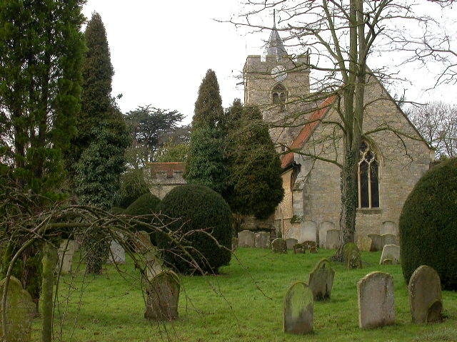
Church of St Leonard, Stagsden
Church of St Leonard is a Grade I listed church in Stagsden, Bedfordshire, England. It became a listed building on 13 July 1964. == See also == Grade...

Bedfordshire Golf Club
Bedfordshire Golf Club is a golf club to the east of Stagsden, Bedfordshire, England. Established in 1891, it is the oldest golf club in Bedfordshire....

Stagsden
Stagsden is a small but historic village and civil parish located in the Borough of Bedford, northwest Bedfordshire, England, near the Buckinghamshire...
Hanger Wood
Hanger Wood is an ancient woodland and Site of Special Scientific Interest (SSSI) in the parish of Stagsden, Bedfordshire in the United Kingdom. Situated...
West End, Bedfordshire
West End is a hamlet located in the Borough of Bedford in Bedfordshire, England. The settlement is close to Carlton, Pavenham and Stevington. West End...

Bromham, Bedfordshire
Bromham is a village and civil parish in the Borough of Bedford in Bedfordshire, England, situated around 3 miles (4.8 km) west of Bedford town centre...
Box End
Box End (or Kempston Box End) is a small village located in the Borough of Bedford in Bedfordshire, England. It is in the civil parish of Kempston Rural...

Turvey railway station
Turvey was a railway station on the Bedford to Northampton Line which served the village of Turvey from 1872 to 1962. == History == Opened by the Bedford...
Nearby Amenities
Located within 500m of 52.14065,-0.56445567Have you been to How Wood?
Leave your review of How Wood below (or comments, questions and feedback).