White's Wood
Wood, Forest in Bedfordshire
England
White's Wood
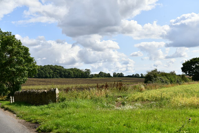
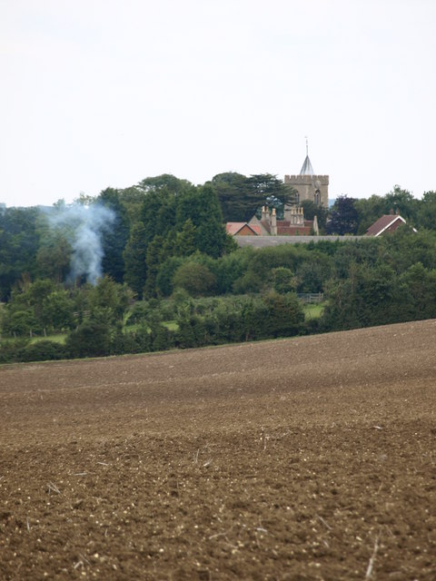
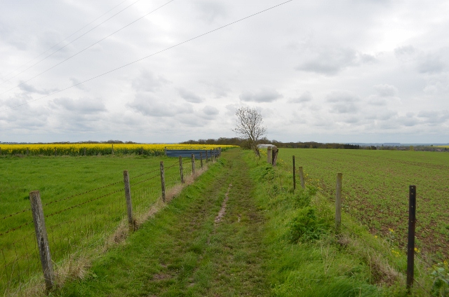
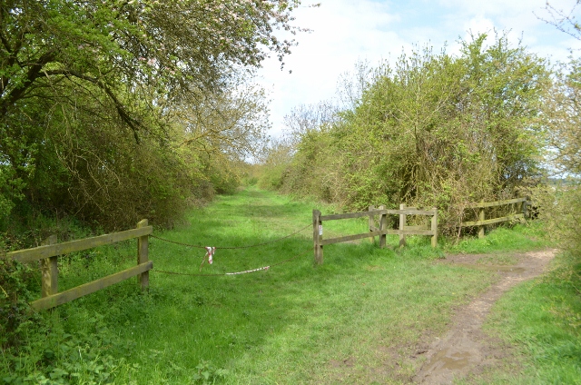
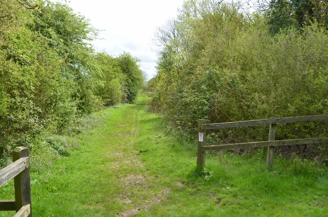
White's Wood is a picturesque woodland located in Bedfordshire, England. Covering an area of approximately 100 acres, it is a popular destination for nature enthusiasts and outdoor enthusiasts alike. The wood is situated just a few miles outside of the charming village of Bedford, providing easy access for both locals and visitors.
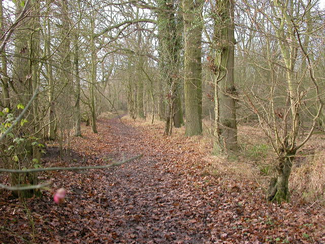
The woodland is primarily composed of deciduous trees, including oak, birch, and beech, which provide a stunning backdrop throughout the year. In spring, the wood comes alive with a vibrant display of bluebells, creating a carpet of color that attracts photographers and nature lovers. During the autumn months, the trees transform into a stunning array of warm hues, making it a perfect spot for autumnal walks.
White's Wood is not only known for its natural beauty but also for its abundant wildlife. It is home to a variety of bird species, including woodpeckers, owls, and finches, making it a birdwatcher's paradise. Additionally, the wood is inhabited by mammals such as deer, badgers, and foxes, providing ample opportunities for wildlife spotting.
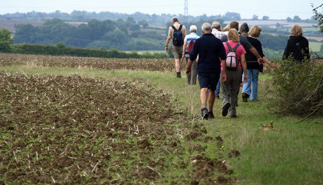
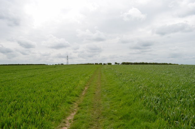
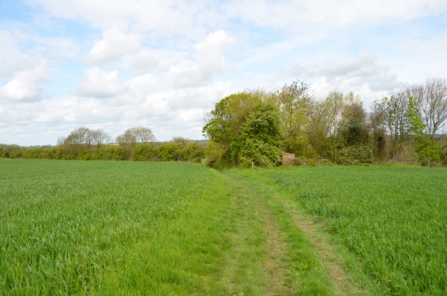
The wood offers several well-maintained trails and paths, allowing visitors to explore and appreciate its natural wonders. These paths are suitable for walkers of all ages and abilities, making it an ideal location for families and individuals alike. There are also picnic areas scattered throughout the wood, providing a tranquil setting for enjoying a packed lunch or simply taking in the peaceful surroundings.
Overall, White's Wood is a haven of tranquility and natural beauty, offering visitors the chance to escape the hustle and bustle of daily life and immerse themselves in the wonders of nature.
If you have any feedback on the listing, please let us know in the comments section below.
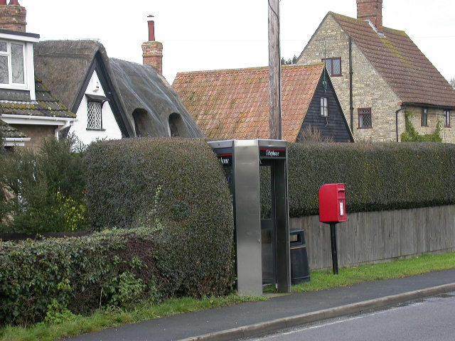
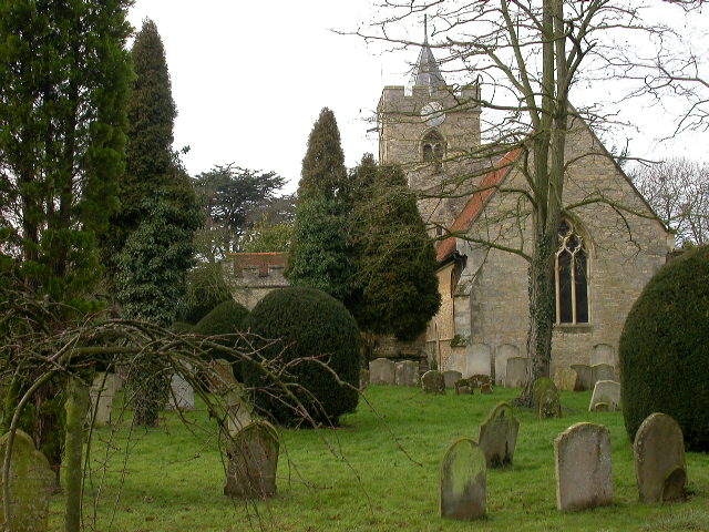
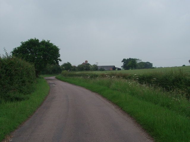
White's Wood Images
Images are sourced within 2km of 52.1459/-0.55480186 or Grid Reference SP9850. Thanks to Geograph Open Source API. All images are credited.


White's Wood is located at Grid Ref: SP9850 (Lat: 52.1459, Lng: -0.55480186)
Unitary Authority: Bedford
Police Authority: Bedfordshire
What 3 Words
///summit.clattered.breakaway. Near Bromham, Bedfordshire
Nearby Locations
Related Wikis

Bedfordshire Golf Club
Bedfordshire Golf Club is a golf club to the east of Stagsden, Bedfordshire, England. Established in 1891, it is the oldest golf club in Bedfordshire....
Hanger Wood
Hanger Wood is an ancient woodland and Site of Special Scientific Interest (SSSI) in the parish of Stagsden, Bedfordshire in the United Kingdom. Situated...
West End, Bedfordshire
West End is a hamlet located in the Borough of Bedford in Bedfordshire, England. The settlement is close to Carlton, Pavenham and Stevington. West End...

Bromham, Bedfordshire
Bromham is a village and civil parish in the Borough of Bedford in Bedfordshire, England, situated around 3 miles (4.8 km) west of Bedford town centre...

Church of St Leonard, Stagsden
Church of St Leonard is a Grade I listed church in Stagsden, Bedfordshire, England. It became a listed building on 13 July 1964. == See also == Grade...

Stagsden
Stagsden is a small but historic village and civil parish located in the Borough of Bedford, northwest Bedfordshire, England, near the Buckinghamshire...

Church of St Owen, Bromham, Bedfordshire
Church of St Owen is a Grade I listed church in Bromham, Bedfordshire, England. It became a listed building on 13 July 1964.The church is a 17th-century...

Church of St James, Biddenham
Church of St James is a Grade I listed church in Biddenham, Bedfordshire, England. It became a listed building on 13 July 1964. The Church has a website...
Nearby Amenities
Located within 500m of 52.1459,-0.55480186Have you been to White's Wood?
Leave your review of White's Wood below (or comments, questions and feedback).