Bury End
Settlement in Bedfordshire
England
Bury End
Bury End is a small village located in the county of Bedfordshire, England. Situated in the southern part of the county, it falls within the Central Bedfordshire district. The village is nestled in a picturesque rural setting, surrounded by rolling hills and verdant countryside.
With a population of around 300 residents, Bury End is known for its tight-knit community and peaceful atmosphere. The village consists of a cluster of houses, many of which are traditional cottages, giving it a charming and quaint feel. The architecture reflects the area's rich history, with some buildings dating back several hundred years.
Despite its small size, Bury End offers a range of amenities for its residents. There is a local pub that serves as a social hub, providing a place for villagers to gather and enjoy a drink or a meal together. The village also has a primary school, ensuring that children have easy access to education within their community.
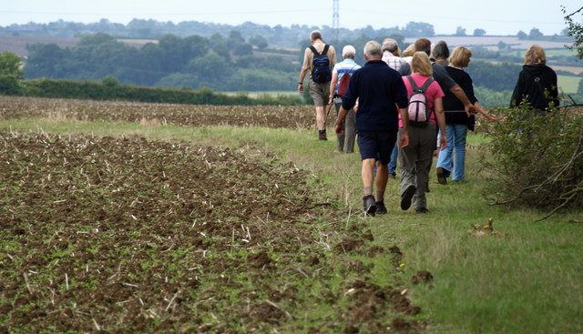
The surrounding countryside provides ample opportunities for outdoor activities and exploration. Residents and visitors can enjoy scenic walks along the nearby footpaths, taking in the beauty of the countryside and enjoying the tranquility of the area.
Bury End benefits from its close proximity to larger towns and cities. The nearby town of Ampthill offers a wider range of amenities, including shops, supermarkets, and additional schools. The village also benefits from good transport links, with easy access to major roads and public transportation.
Overall, Bury End is a charming and idyllic village that offers a peaceful and close-knit community, surrounded by stunning countryside.
If you have any feedback on the listing, please let us know in the comments section below.
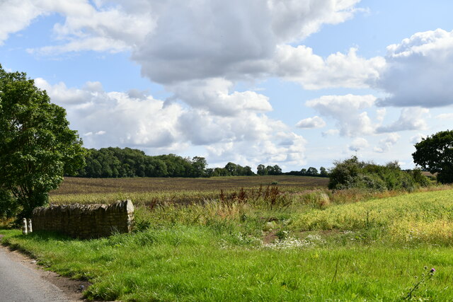
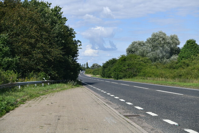
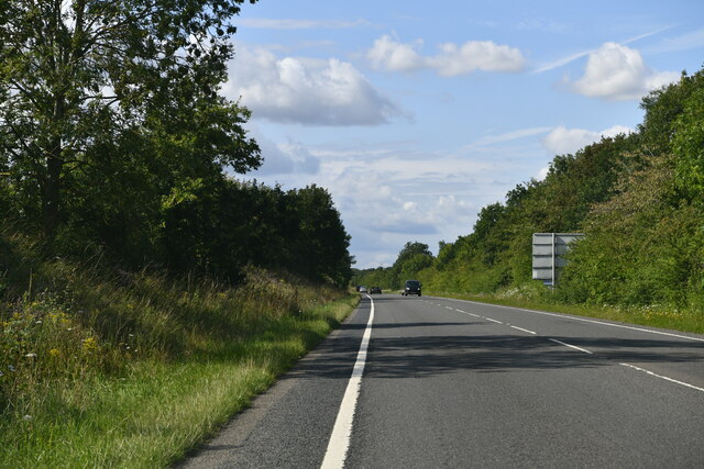
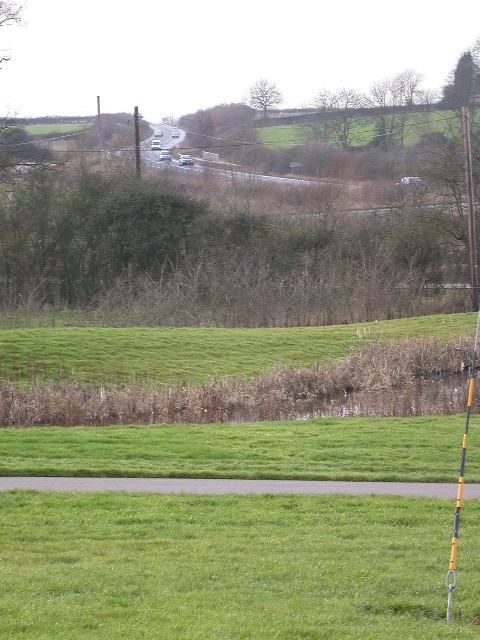
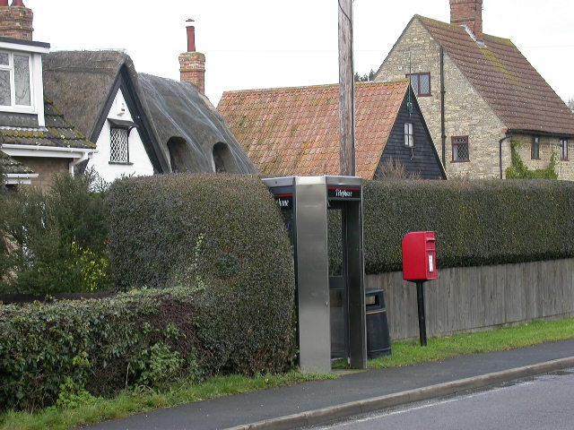
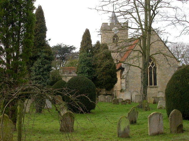
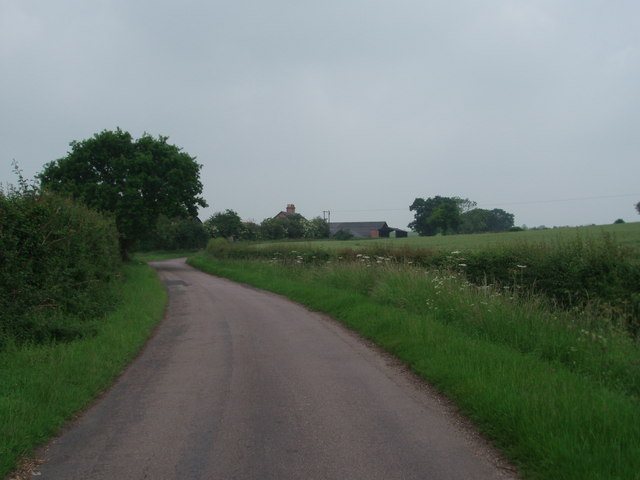
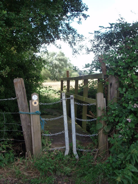
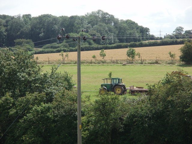
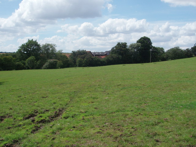
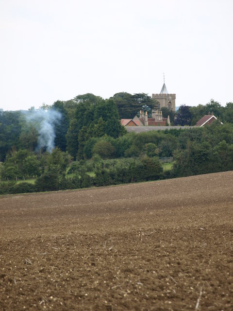
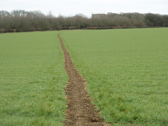
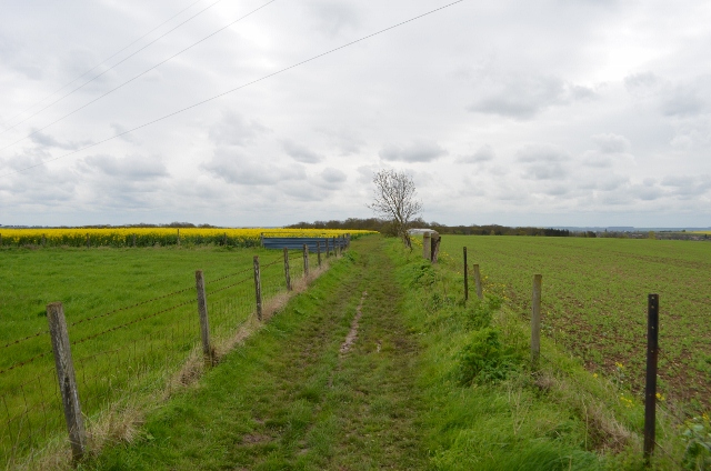
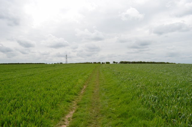
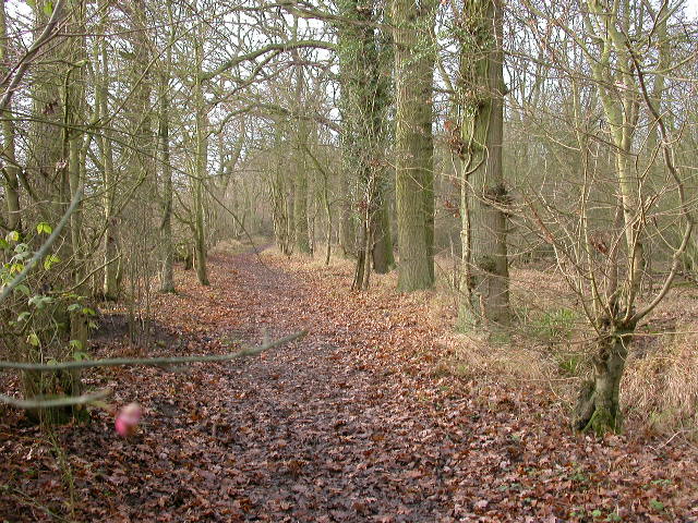
Bury End Images
Images are sourced within 2km of 52.145336/-0.562666 or Grid Reference SP9850. Thanks to Geograph Open Source API. All images are credited.


Bury End is located at Grid Ref: SP9850 (Lat: 52.145336, Lng: -0.562666)
Unitary Authority: Bedford
Police Authority: Bedfordshire
What 3 Words
///plums.window.internet. Near Stagsden, Bedfordshire
Nearby Locations
Related Wikis

Bedfordshire Golf Club
Bedfordshire Golf Club is a golf club to the east of Stagsden, Bedfordshire, England. Established in 1891, it is the oldest golf club in Bedfordshire....

Church of St Leonard, Stagsden
Church of St Leonard is a Grade I listed church in Stagsden, Bedfordshire, England. It became a listed building on 13 July 1964. == See also == Grade...
West End, Bedfordshire
West End is a hamlet located in the Borough of Bedford in Bedfordshire, England. The settlement is close to Carlton, Pavenham and Stevington. West End...
Hanger Wood
Hanger Wood is an ancient woodland and Site of Special Scientific Interest (SSSI) in the parish of Stagsden, Bedfordshire in the United Kingdom. Situated...
Nearby Amenities
Located within 500m of 52.145336,-0.562666Have you been to Bury End?
Leave your review of Bury End below (or comments, questions and feedback).