Bury End
Settlement in Bedfordshire
England
Bury End

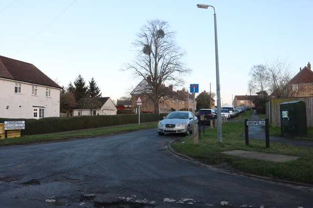
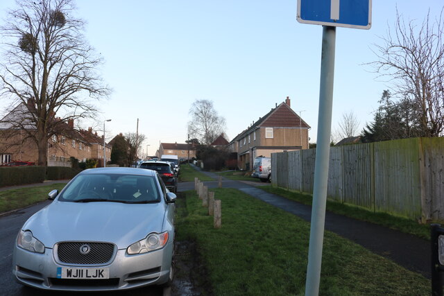
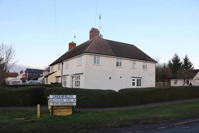
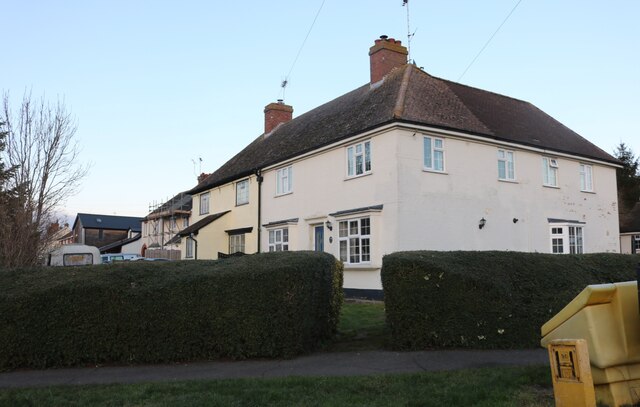
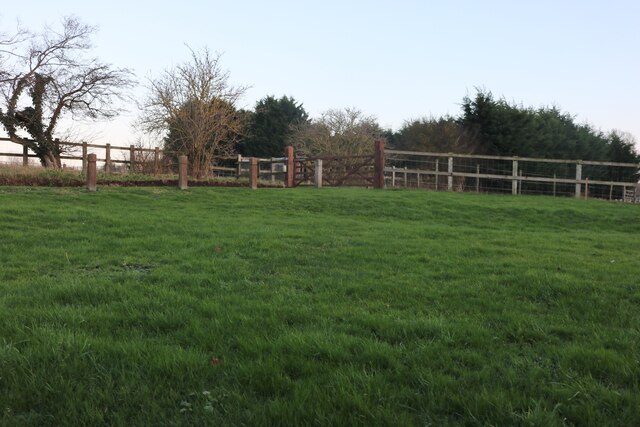
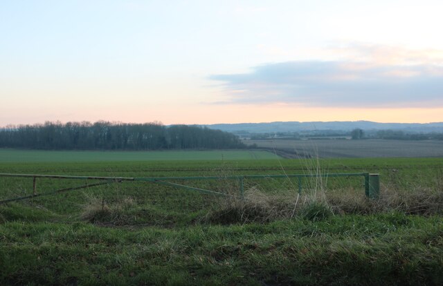
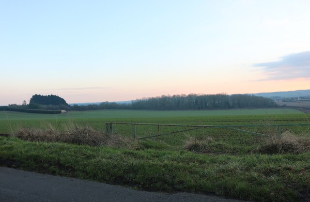
Bury End is a small village located in the county of Bedfordshire, England. Situated approximately 4 miles southwest of the town of Bedford, it forms part of the wider civil parish of Cardington. Bury End is a quiet and picturesque rural community, surrounded by rolling countryside and farmland.
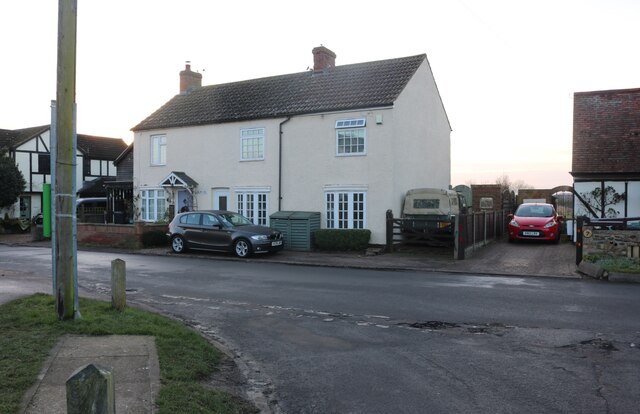
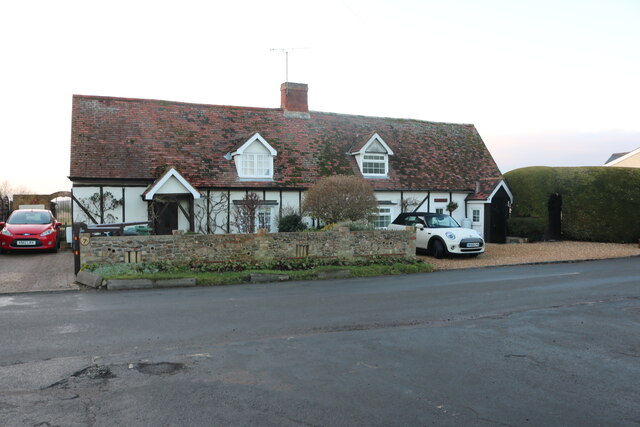
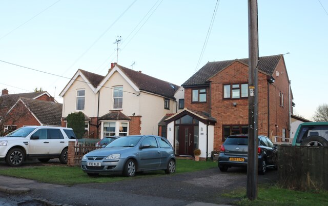
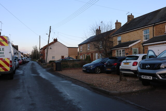
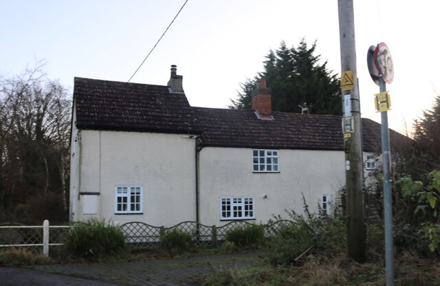
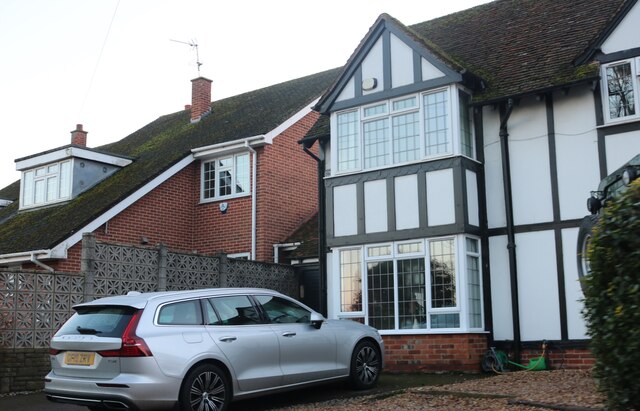
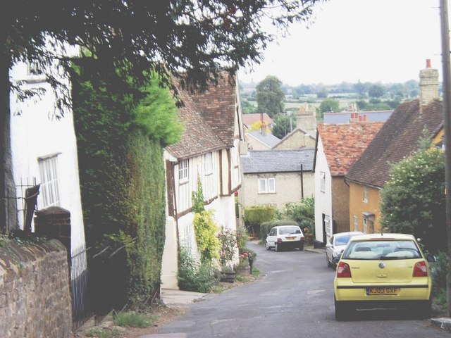
The village is characterized by its charming cottages and traditional architecture, which give it a distinct English countryside feel. It has a close-knit community, with a population of around 200 residents. The village is well-connected to nearby towns and cities, with easy access to major road networks.
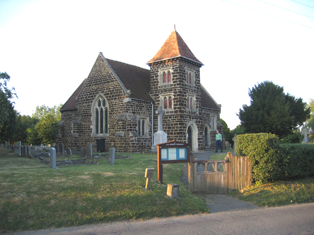
Despite its small size, Bury End has a rich history. The area was first settled in the medieval period, and evidence of its past can be seen in the historic buildings and landmarks scattered throughout the village. One notable attraction is St. Mary's Church, a beautiful and well-preserved medieval church that dates back to the 12th century.
In terms of amenities, Bury End has limited facilities. However, the village benefits from its proximity to nearby towns, where residents can access a wider range of services and amenities. There are also several schools in the surrounding area, providing education for local families.
Overall, Bury End offers a peaceful and idyllic setting for those seeking a rural lifestyle. Its historic charm, natural beauty, and strong sense of community make it an attractive place to call home.
If you have any feedback on the listing, please let us know in the comments section below.
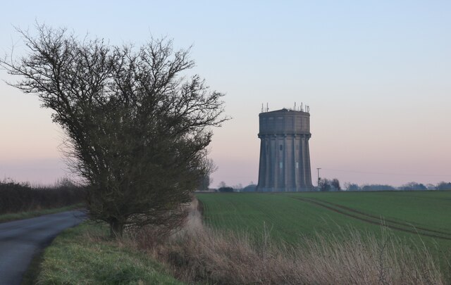
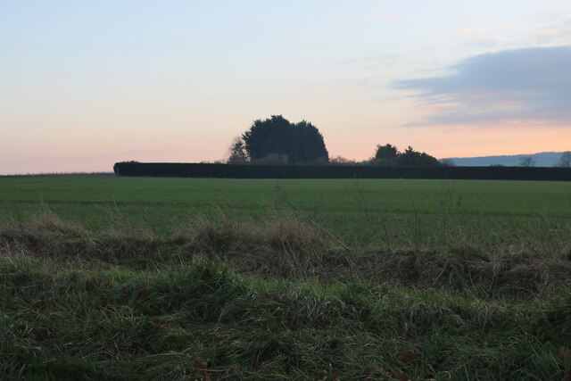
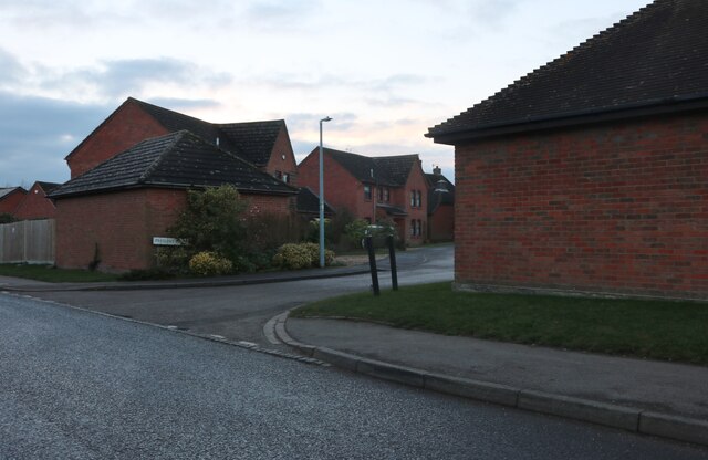
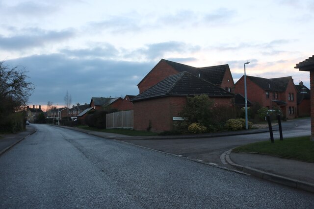
Bury End Images
Images are sourced within 2km of 52.006502/-0.362414 or Grid Reference TL1235. Thanks to Geograph Open Source API. All images are credited.
Bury End is located at Grid Ref: TL1235 (Lat: 52.006502, Lng: -0.362414)
Unitary Authority: Central Bedfordshire
Police Authority: Bedfordshire
What 3 Words
///steadier.slipping.punctured. Near Gravenhurst, Bedfordshire
Related Wikis

Gravenhurst, Bedfordshire
Gravenhurst is a civil parish located in the Central Bedfordshire district of Bedfordshire, England. The parish includes Lower Gravenhurst, Upper Gravenhurst...

Upper Gravenhurst
Upper Gravenhurst is a village and former civil parish, now in the parish of Gravenhurst, in the Central Bedfordshire district of the ceremonial county...

St Mary's Church, Lower Gravenhurst
St Mary's Church is a redundant Anglican church in the village of Lower Gravenhurst, Bedfordshire, England. It is recorded in the National Heritage List...
Shillington, Bedfordshire
Shillington is a village and civil parish in Bedfordshire, England. In the south of the parish the hamlet of Pegsdon includes the Pegsdon hills nature...

Meppershall
Meppershall is a hilltop village in Bedfordshire near Shefford, Campton, Shillington, Stondon and surrounded by farmland. The village and the manor house...
Upper Stondon
Upper Stondon is a village in Bedfordshire, England, part of the wider Stondon civil parish. Upper Stondon is a very small settlement with few amenities...

Campton, Bedfordshire
Campton is a village and former civil parish, now in the parish of Campton and Chicksands, in the Central Bedfordshire district of Bedfordshire, England...
Church of All Saints, Campton
The Church of All Saints is the Anglican parish church in the village of Campton, Shefford, Bedfordshire, England. Its official title is Campton and Chicksands...
Nearby Amenities
Located within 500m of 52.006502,-0.362414Have you been to Bury End?
Leave your review of Bury End below (or comments, questions and feedback).