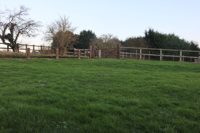
The Dell
Wood, Forest in Bedfordshire
England
The Dell

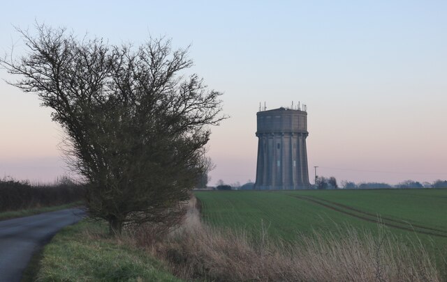
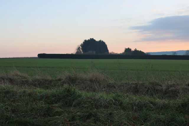
The Dell, located in Bedfordshire, is a picturesque woodland area known for its natural beauty and tranquility. Nestled within a forest, it offers visitors a peaceful retreat from the hustle and bustle of everyday life. The Dell is characterized by its dense woodlands, tall trees, and a variety of flora and fauna.
The woodland is home to a diverse range of wildlife, including deer, squirrels, and an array of bird species. Nature enthusiasts can enjoy exploring the numerous walking trails that wind their way through the forest, offering breathtaking views of the surrounding landscape. The Dell is also a popular spot for birdwatching, with many species of birds making their home in the trees and shrubs.
The Dell offers a sense of serenity and tranquility, making it an ideal location for picnics, family outings, or simply a peaceful escape into nature. The peaceful atmosphere is enhanced by the gentle sound of birdsong and the rustling of leaves in the wind.
Visitors to The Dell can also take part in various recreational activities, such as cycling, horseback riding, or simply enjoying a leisurely stroll along the well-maintained paths. The forest also provides a perfect setting for photography enthusiasts, with its natural beauty and diverse wildlife offering countless opportunities for capturing stunning images.
Overall, The Dell in Bedfordshire is a haven for nature lovers and those seeking a peaceful retreat. With its enchanting woodlands, diverse wildlife, and tranquil atmosphere, it offers a perfect escape into nature.
If you have any feedback on the listing, please let us know in the comments section below.
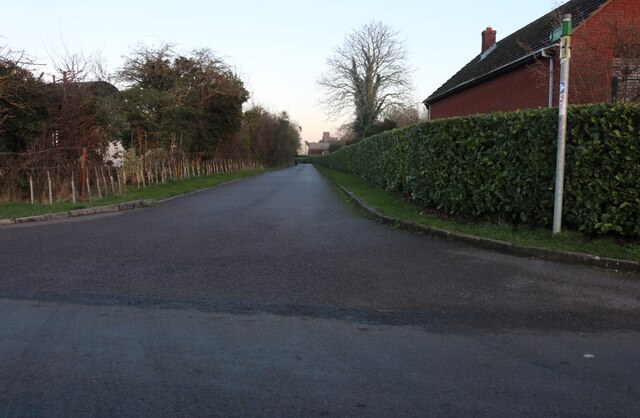
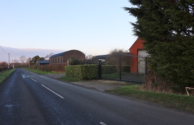
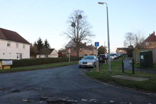
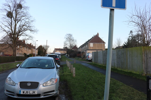
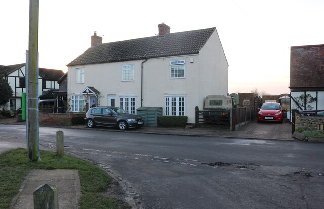
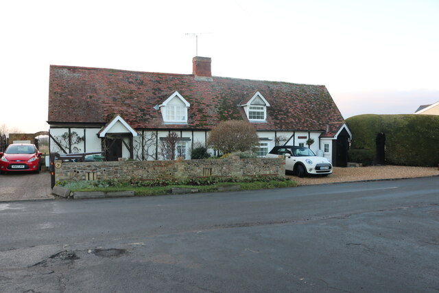
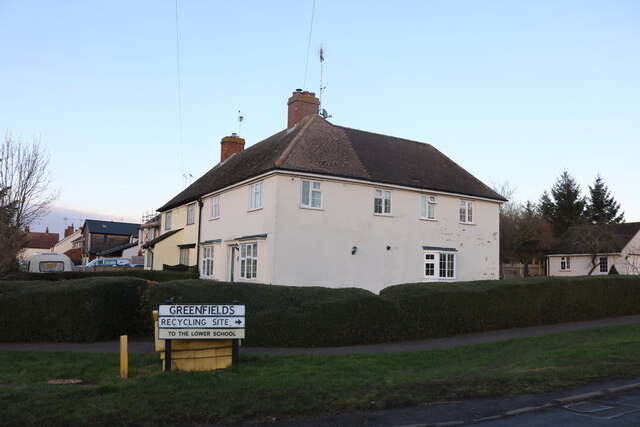
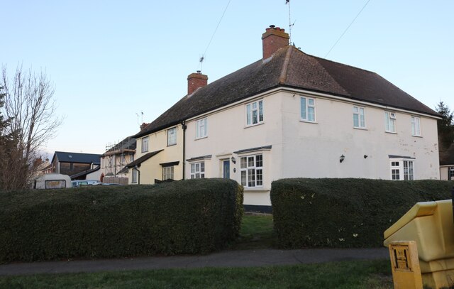
The Dell Images
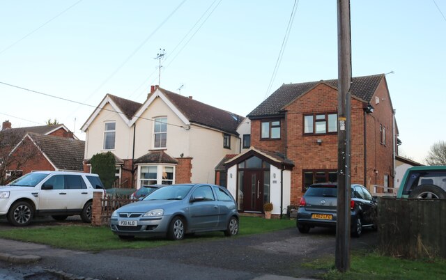
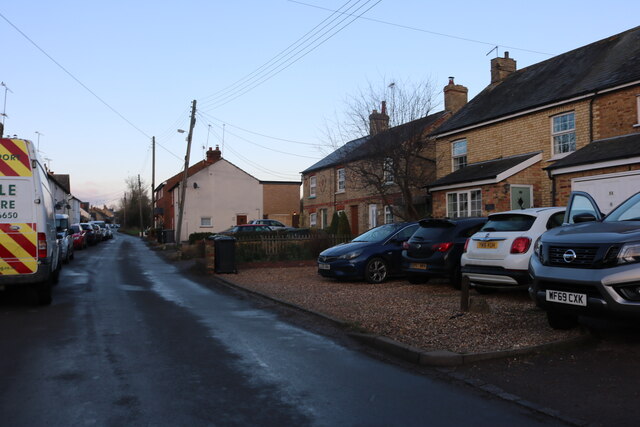
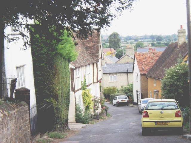
Images are sourced within 2km of 52.005216/-0.36198503 or Grid Reference TL1235. Thanks to Geograph Open Source API. All images are credited.


The Dell is located at Grid Ref: TL1235 (Lat: 52.005216, Lng: -0.36198503)
Unitary Authority: Central Bedfordshire
Police Authority: Bedfordshire
What 3 Words
///vague.commutes.slogged. Near Gravenhurst, Bedfordshire
Related Wikis

Gravenhurst, Bedfordshire
Gravenhurst is a civil parish located in the Central Bedfordshire district of Bedfordshire, England. The parish includes Lower Gravenhurst, Upper Gravenhurst...

Upper Gravenhurst
Upper Gravenhurst is a village and former civil parish, now in the parish of Gravenhurst, in the Central Bedfordshire district of the ceremonial county...
Shillington, Bedfordshire
Shillington is a village and civil parish in Bedfordshire, England. In the south of the parish the hamlet of Pegsdon includes the Pegsdon hills nature...

St Mary's Church, Lower Gravenhurst
St Mary's Church is a redundant Anglican church in the village of Lower Gravenhurst, Bedfordshire, England. It is recorded in the National Heritage List...
Nearby Amenities
Located within 500m of 52.005216,-0.36198503Have you been to The Dell?
Leave your review of The Dell below (or comments, questions and feedback).