Bury Green

Settlement in Hertfordshire Broxbourne

England

Bury Green

The Great Cambridge Road, Cheshunt
The Great Cambridge Road, Cheshunt Credit: David Howard

Bury Green is a small village located in Hertfordshire, England. It is situated approximately 3 miles east of Cheshunt and 14 miles north of Central London. The village is part of the borough of Broxbourne and falls within the wider commuter belt of Greater London.

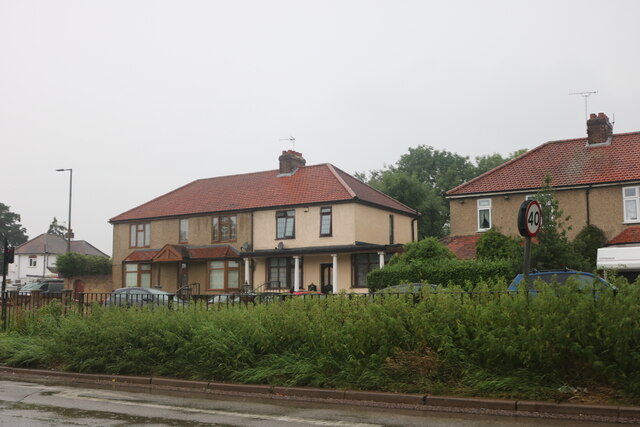
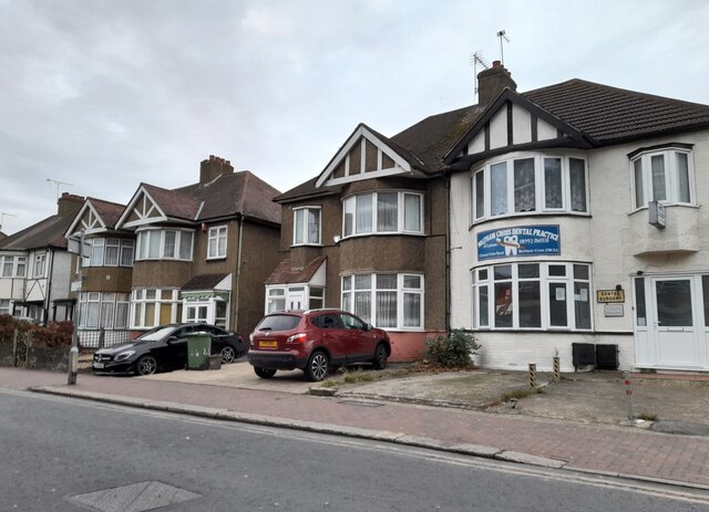
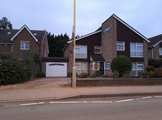
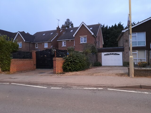
Bury Green is predominantly a residential area, characterized by its charming and peaceful atmosphere. The village is surrounded by lush green fields and countryside, providing a tranquil setting for its residents. The architecture in Bury Green is mainly made up of traditional English houses, with some newer developments.

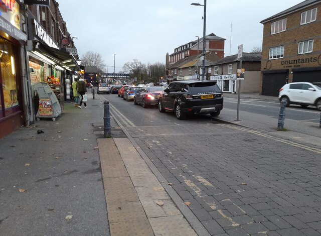
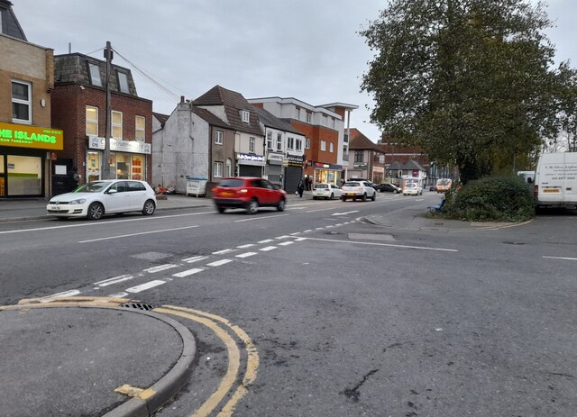
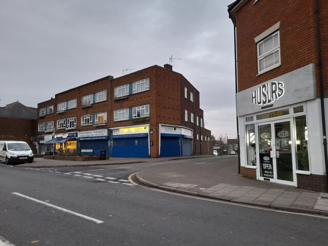
Despite its rural feel, Bury Green benefits from its proximity to nearby towns and cities. Cheshunt offers a range of amenities, including shops, restaurants, and leisure facilities, while Central London is easily accessible by train or car.

The village is also well-connected in terms of transportation. The A10 road runs nearby, providing easy access to major motorways such as the M25. Bury Green is served by several bus routes, connecting residents to neighboring towns and villages.

For outdoor enthusiasts, there are several parks and nature reserves in the vicinity of Bury Green, offering opportunities for walking, cycling, and other recreational activities. The nearby Lee Valley Regional Park is particularly popular, with its extensive network of canals, trails, and wildlife habitats.

Overall, Bury Green offers a desirable living environment for those seeking a peaceful village setting within easy reach of urban amenities.

If you have any feedback on the listing, please let us know in the comments section below.
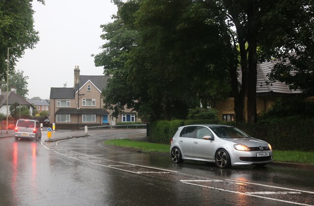
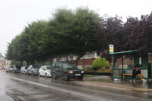
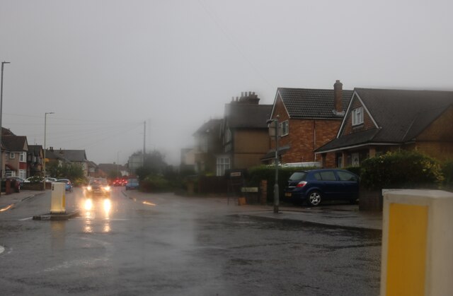
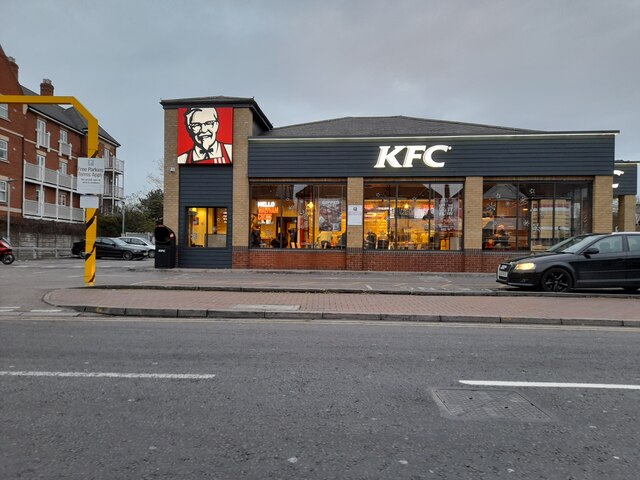
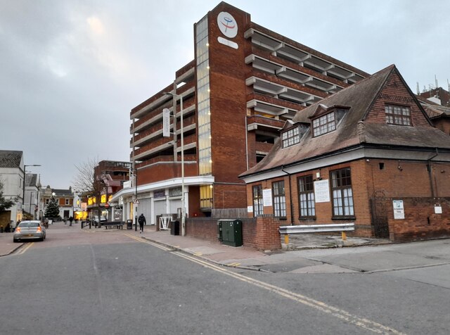
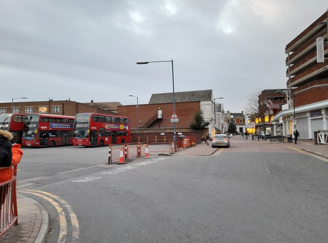
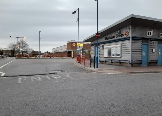
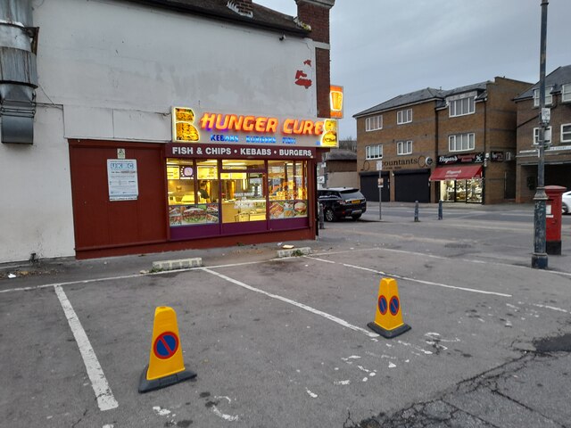
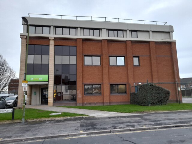
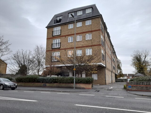
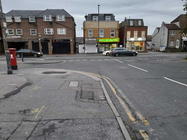
Bury Green Images

Images are sourced within 2km of 51.696942/-0.052368 or Grid Reference TL3401. Thanks to Geograph Open Source API. All images are credited.

The Great Cambridge Road, Cheshunt
College Road, Cheshunt
Churchgate, Cheshunt Wet wet wet
Churchgate, Cheshunt
Wet wet wet
Roundabout on Churchgate, Cheshunt
KFC, Waltham Cross
KFC, Waltham Cross
Eleanor Cross Road, Waltham Cross
Waltham Cross bus stand
Houses on Eleanor Cross Road, Waltham Cross
High Street, Waltham Cross
Shops on High Street, Cheshunt
Hunger Cure cafe on High Street, Waltham Cross
Waltham Cross Job Centre
Flats on Crossbrook Street, Cheshunt
Modern house on Brookfield Road West, Flamstead End This style was popular in the 70s, I had a flat like it once. <a title="https://www.geograph.org.uk/photo/4839443" href="https://www.geograph.org.uk/photo/4839443">Link</a>
Modern house on Brookfield Road West, Flamstead End
This style was popular in the 70s, I had a flat like it once. Link
Houses on Brookfield Road West, Flamstead End
Hedworth Avenue at the junction of High Street, Cheshunt
Show me another place!

Bury Green is located at Grid Ref: TL3401 (Lat: 51.696942, Lng: -0.052368)

Administrative County: Hertfordshire

District: Broxbourne

Police Authority: Hertfordshire

What 3 Words

///fuels.valve.asset. Near Cheshunt, Hertfordshire

Related Wikis

St Mary's Church of England High School

St Mary's Church of England High School is a mixed secondary school and sixth form located in Cheshunt, Hertfordshire, England. It is a Church of England...

Theobalds Brook

Theobalds Brook is a minor tributary of the River Lea which rises in the hills south of Goffs Oak in Hertfordshire, England.

Goffs-Churchgate Academy

Goffs-Churchgate Academy is a secondary school with academy status located in Cheshunt, Hertfordshire, England with around 600 students. == History... ==

Bishops' College, Cheshunt

Bishops' College, Cheshunt was an Anglican theological College set up to train clergy to serve in the Church of England. It was housed in buildings formerly...

F.C. Romania

Football Club Romania is a football club based in Cheshunt, Hertfordshire, England. The club are members of the Spartan South Midlands League Premier Division...

Cheshunt F.C.

Cheshunt Football Club is a football club based in Cheshunt, Hertfordshire, England. They are currently members of the Isthmian League Premier Division...

Theobalds House

Theobalds House (also known as Theobalds Palace) in the parish of Cheshunt in the English county of Hertfordshire, north of London, was a significant stately...

Cedars Park, Cheshunt

Cedars Park is a historic public park located in Cheshunt, Hertfordshire, England. It was originally the site of Theobalds Palace, King James I's favourite...

Nearby Amenities

Located within 500m of 51.696942,-0.052368
Crossing
Bicycle: yes
Crossing: unmarked
Horse: yes
Lat/Long: 51.6959806/-0.0566183
Created By: YahooApplet 1.0
Lat/Long: 51.6935339/-0.05053
Created By: YahooApplet 1.0
Lat/Long: 51.6958168/-0.0584122
Created By: YahooApplet 1.0
Lat/Long: 51.6950158/-0.0569712
Created By: YahooApplet 1.0
Lat/Long: 51.6943171/-0.0555845
Created By: YahooApplet 1.0
Lat/Long: 51.6934725/-0.0538914
Created By: YahooApplet 1.0
Lat/Long: 51.6929638/-0.0526401
Created By: YahooApplet 1.0
Lat/Long: 51.6926474/-0.0512297
Created By: YahooApplet 1.0
Lat/Long: 51.6936036/-0.0532274
Created By: YahooApplet 1.0
Lat/Long: 51.694257/-0.0547972
Created By: YahooApplet 1.0
Lat/Long: 51.6951938/-0.0565306
Created By: YahooApplet 1.0
Lat/Long: 51.6993583/-0.0573178
Created By: YahooApplet 1.0
Lat/Long: 51.6991784/-0.0577914
Created By: YahooApplet 1.0
Lat/Long: 51.6990724/-0.0581118
Created By: YahooApplet 1.0
Lat/Long: 51.6990259/-0.0584014
Created By: YahooApplet 1.0
Lat/Long: 51.6985338/-0.0584336
Noexit: yes
Lat/Long: 51.6983052/-0.058008
Created By: YahooApplet 1.0
Lat/Long: 51.6996243/-0.0575646
Created By: YahooApplet 1.0
Lat/Long: 51.6933202/-0.0529373
Created By: YahooApplet 1.0
Lat/Long: 51.6935729/-0.053581
Created By: YahooApplet 1.0
Lat/Long: 51.6928347/-0.0511563
Created By: YahooApplet 1.0
Lat/Long: 51.6961455/-0.0586037
Created By: YahooApplet 1.0
Lat/Long: 51.6959327/-0.0582003
Created By: YahooApplet 1.0
Lat/Long: 51.6941714/-0.0548578
Created By: YahooApplet 1.0
Lat/Long: 51.7009742/-0.0508344
Created By: YahooApplet 1.0
Lat/Long: 51.7006551/-0.0547612
Created By: YahooApplet 1.0
Lat/Long: 51.7001031/-0.0559092
Created By: YahooApplet 1.0
Lat/Long: 51.6996244/-0.0567353
Noexit: yes
Lat/Long: 51.6979621/-0.0552707
Noexit: yes
Lat/Long: 51.698824/-0.0559572
Noexit: yes
Lat/Long: 51.698871/-0.0575226
Turning Circle
Lat/Long: 51.6985263/-0.050324
Turning Circle
Lat/Long: 51.6997668/-0.0542634
Turning Circle
Lat/Long: 51.7000153/-0.0492568
Turning Circle
Lat/Long: 51.6998616/-0.0505151
Turning Circle
Lat/Long: 51.6991094/-0.0500585
Turning Circle
Lat/Long: 51.7000201/-0.0526549
Noexit: yes
Lat/Long: 51.7005615/-0.0506149
Post Box
Lat/Long: 51.7008949/-0.0514667
Noexit: yes
Lat/Long: 51.700798/-0.0498269
Crossing
Bicycle: yes
Crossing: unmarked
Horse: yes
Lat/Long: 51.6951472/-0.0569113
Crossing
Bicycle: yes
Crossing: unmarked
Horse: yes
Lat/Long: 51.6952492/-0.0568157
Crossing
Bicycle: yes
Crossing: unmarked
Horse: yes
Lat/Long: 51.6958867/-0.0566388
Bury Green Lodge
Lat/Long: 51.7012499/-0.0536056
Noexit: yes
Lat/Long: 51.698326/-0.0590652
Noexit: yes
Lat/Long: 51.6990434/-0.0497648
Noexit: yes
Lat/Long: 51.698242/-0.0547844
Turning Circle
Lat/Long: 51.6981214/-0.0517137
Noexit: yes
Lat/Long: 51.6958605/-0.055204
Noexit: yes
Lat/Long: 51.6982842/-0.0575806
Noexit: yes
Lat/Long: 51.7001202/-0.0568323
Crossing
Button Operated: yes
Crossing: traffic_signals
Tactile Paving: yes
Traffic Signals Sound: yes
Lat/Long: 51.693804/-0.0478571
Crossing
Crossing: unmarked
Tactile Paving: yes
Lat/Long: 51.6931913/-0.0484704
Crossing
Crossing: unmarked
Tactile Paving: yes
Lat/Long: 51.693322/-0.0483741
Give Way
Lat/Long: 51.6967457/-0.0451996
The data included in this document is from www.openstreetmap.org. The data is made available under ODbL.

Have you been to Bury Green?

Leave your review of Bury Green below (or comments, questions and feedback).