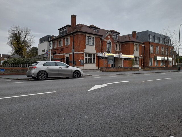
Temple Bar

Heritage Site in Hertfordshire Broxbourne

England

Temple Bar
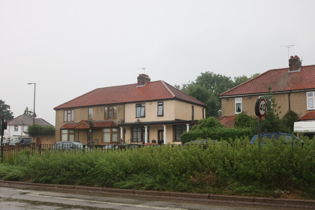
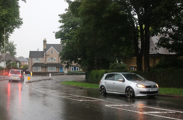
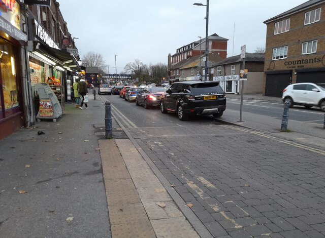
The Great Cambridge Road, Cheshunt
The Great Cambridge Road, Cheshunt Credit: David Howard

Temple Bar is a historic site located in Hertfordshire, England. It is an iconic structure that holds significant historical and architectural value. Originally built in the 17th century, Temple Bar served as the ceremonial entrance to the City of London, marking the boundary between the City and Westminster.

The structure consists of a central archway flanked by two smaller arches, adorned with intricate carvings and sculptures. It was designed by Sir Christopher Wren, a renowned architect of the time, and constructed using Portland stone. The ornate detailing and craftsmanship of Temple Bar make it a remarkable example of Jacobean architecture.

In 1878, Temple Bar was dismantled and relocated to Theobalds Park in Hertfordshire due to increased traffic congestion in London. It remained there until 2004 when it was disassembled and stored for restoration. The restoration project was completed in 2009, and Temple Bar was reinstated in its original location near St. Paul's Cathedral in London.

Today, Temple Bar serves as a reminder of London's rich history and heritage. It attracts visitors from around the world who are fascinated by its grandeur and historical significance. The site also offers informative displays and exhibits that delve into the history of the structure and its role in the city's past.

Temple Bar stands as a testament to the architectural prowess of Sir Christopher Wren and the enduring legacy of London's past. It remains a cherished heritage site, preserving the memory of a bygone era and serving as a symbol of the city's historical importance.

If you have any feedback on the listing, please let us know in the comments section below.

Temple Bar Images

Images are sourced within 2km of 51.695/-0.053 or Grid Reference TL3401. Thanks to Geograph Open Source API. All images are credited.

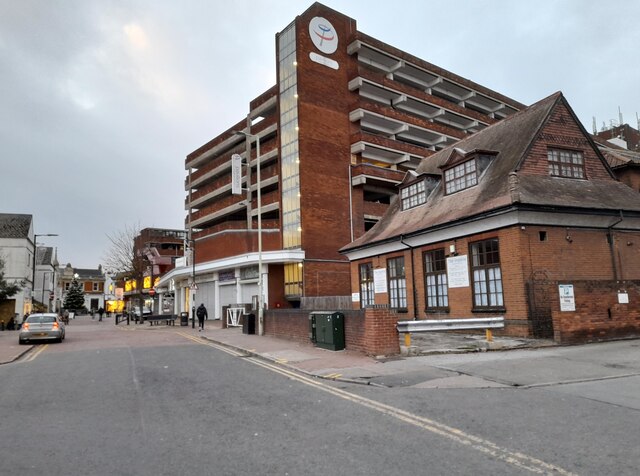
The Great Cambridge Road, Cheshunt
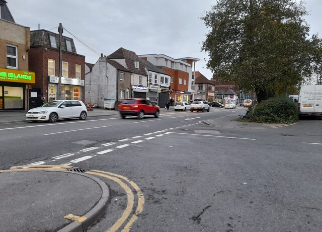
College Road, Cheshunt
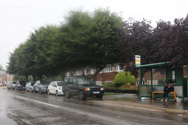
Churchgate, Cheshunt Wet wet wet
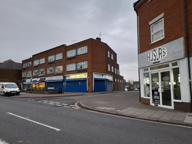
Churchgate, Cheshunt
Wet wet wet
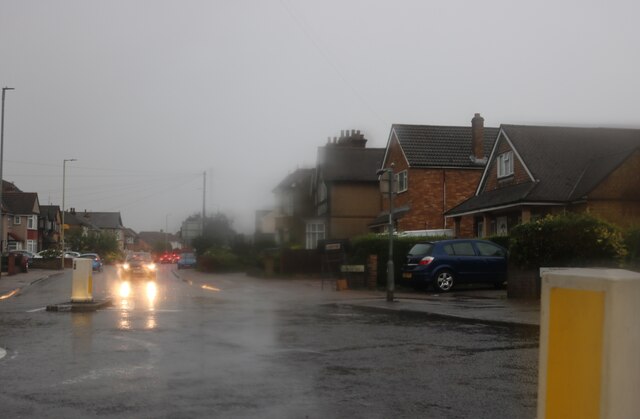
Roundabout on Churchgate, Cheshunt
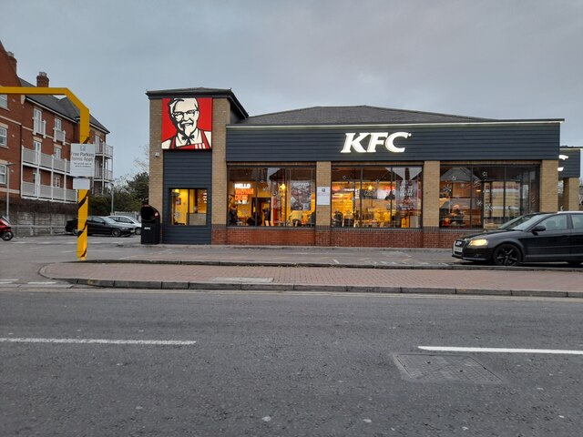
KFC, Waltham Cross
KFC, Waltham Cross
Eleanor Cross Road, Waltham Cross
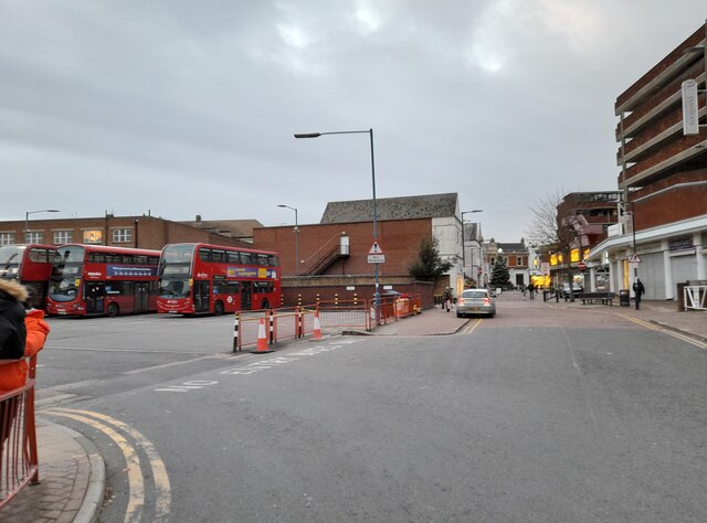
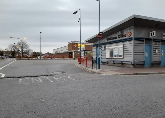
Waltham Cross bus stand
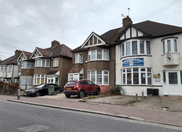
Houses on Eleanor Cross Road, Waltham Cross
High Street, Waltham Cross
Shops on High Street, Cheshunt
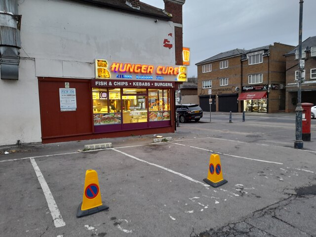
Hunger Cure cafe on High Street, Waltham Cross
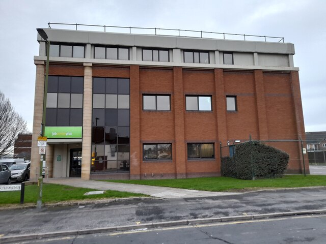
Waltham Cross Job Centre
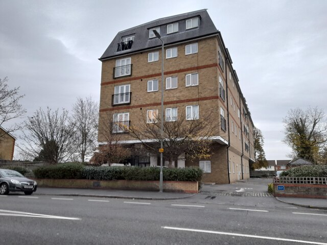
Flats on Crossbrook Street, Cheshunt
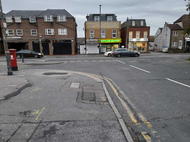
Hedworth Avenue at the junction of High Street, Cheshunt
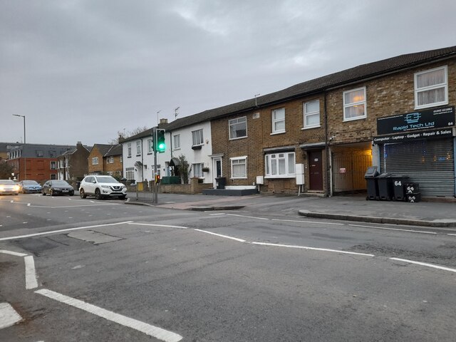
High Street, Cheshunt
St George's House, Cheshunt
Show me another place!

Temple Bar is located at Grid Ref: TL3401 (Lat: 51.695, Lng: -0.053)

Administrative County: Hertfordshire

District: Broxbourne

Police Authority: Hertfordshire

What 3 Words

///raced.loft.homes. Near Waltham Cross, Hertfordshire

Related Wikis

St Mary's Church of England High School

St Mary's Church of England High School is a mixed secondary school and sixth form located in Cheshunt, Hertfordshire, England. It is a Church of England...

Theobalds Brook

Theobalds Brook is a minor tributary of the River Lea which rises in the hills south of Goffs Oak in Hertfordshire, England.

Theobalds House

Theobalds House (also known as Theobalds Palace) in the parish of Cheshunt in the English county of Hertfordshire, north of London, was a significant stately...

F.C. Romania

Football Club Romania is a football club based in Cheshunt, Hertfordshire, England. The club are members of the Spartan South Midlands League Premier Division...

Cheshunt F.C.

Cheshunt Football Club is a football club based in Cheshunt, Hertfordshire, England. They are currently members of the Isthmian League Premier Division...

Goffs-Churchgate Academy

Goffs-Churchgate Academy is a secondary school with academy status located in Cheshunt, Hertfordshire, England with around 600 students. == History... ==

Cedars Park, Cheshunt

Cedars Park is a historic public park located in Cheshunt, Hertfordshire, England. It was originally the site of Theobalds Palace, King James I's favourite...

Bishops' College, Cheshunt

Bishops' College, Cheshunt was an Anglican theological College set up to train clergy to serve in the Church of England. It was housed in buildings formerly...

Nearby Amenities

Located within 500m of 51.695,-0.053
Crossing
Crossing: unmarked
Lat/Long: 51.6924005/-0.0495035
Crossing
Bicycle: yes
Crossing: unmarked
Horse: yes
Lat/Long: 51.6959806/-0.0566183
Created By: YahooApplet 1.0
Lat/Long: 51.6935339/-0.05053
Created By: YahooApplet 1.0
Lat/Long: 51.696511/-0.0596946
Created By: YahooApplet 1.0
Lat/Long: 51.6958168/-0.0584122
Created By: YahooApplet 1.0
Lat/Long: 51.6950158/-0.0569712
Created By: YahooApplet 1.0
Lat/Long: 51.6943171/-0.0555845
Created By: YahooApplet 1.0
Lat/Long: 51.6934725/-0.0538914
Created By: YahooApplet 1.0
Lat/Long: 51.6929638/-0.0526401
Created By: YahooApplet 1.0
Lat/Long: 51.6926474/-0.0512297
Created By: YahooApplet 1.0
Lat/Long: 51.6919861/-0.0511771
Created By: YahooApplet 1.0
Lat/Long: 51.6915097/-0.0506948
Created By: YahooApplet 1.0
Lat/Long: 51.6936036/-0.0532274
Created By: YahooApplet 1.0
Lat/Long: 51.694257/-0.0547972
Created By: YahooApplet 1.0
Lat/Long: 51.6951938/-0.0565306
Created By: YahooApplet 1.0
Lat/Long: 51.6933202/-0.0529373
Created By: YahooApplet 1.0
Lat/Long: 51.6935729/-0.053581
Created By: YahooApplet 1.0
Lat/Long: 51.6928347/-0.0511563
Created By: YahooApplet 1.0
Lat/Long: 51.6961455/-0.0586037
Created By: YahooApplet 1.0
Lat/Long: 51.6959327/-0.0582003
Created By: YahooApplet 1.0
Lat/Long: 51.6941714/-0.0548578
Noexit: yes
Lat/Long: 51.6979621/-0.0552707
Noexit: yes
Lat/Long: 51.698824/-0.0559572
Turning Circle
Lat/Long: 51.6985263/-0.050324
Turning Circle
Lat/Long: 51.6991094/-0.0500585
Crossing
Bicycle: yes
Crossing: unmarked
Horse: yes
Lat/Long: 51.6951472/-0.0569113
Crossing
Bicycle: yes
Crossing: unmarked
Horse: yes
Lat/Long: 51.6952492/-0.0568157
Crossing
Bicycle: yes
Crossing: unmarked
Horse: yes
Lat/Long: 51.6958867/-0.0566388
Power: pole
Lat/Long: 51.6933461/-0.0588748
Power: pole
Lat/Long: 51.6930568/-0.0573834
Barrier: kissing_gate
Lat/Long: 51.6920293/-0.0508083
Barrier: kissing_gate
Surface: asphalt
Lat/Long: 51.692059/-0.0511701
Barrier: kissing_gate
Lat/Long: 51.6921191/-0.0508655
Noexit: yes
Lat/Long: 51.698242/-0.0547844
Turning Circle
Lat/Long: 51.6981214/-0.0517137
Noexit: yes
Lat/Long: 51.6958605/-0.055204
Noexit: yes
Lat/Long: 51.6982842/-0.0575806
Crossing
Button Operated: yes
Crossing: traffic_signals
Tactile Paving: yes
Traffic Signals Sound: yes
Lat/Long: 51.693804/-0.0478571
Bench
Lat/Long: 51.6917382/-0.0567274
Crossing
Crossing: unmarked
Tactile Paving: yes
Lat/Long: 51.6931913/-0.0484704
Crossing
Crossing: unmarked
Tactile Paving: yes
Lat/Long: 51.693322/-0.0483741
Crossing
Crossing: unmarked
Lat/Long: 51.6923869/-0.0489105
Give Way
Lat/Long: 51.6924606/-0.0500181
Barrier: block
Lat/Long: 51.6926865/-0.0494182
Give Way
Lat/Long: 51.6925072/-0.0493003
The data included in this document is from www.openstreetmap.org. The data is made available under ODbL.

Have you been to Temple Bar?

Leave your review of Temple Bar below (or comments, questions and feedback).