Ash Spinney
Wood, Forest in Buckinghamshire
England
Ash Spinney
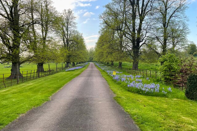
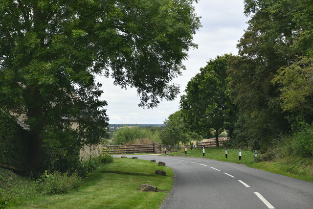
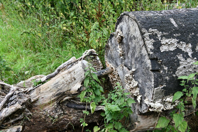
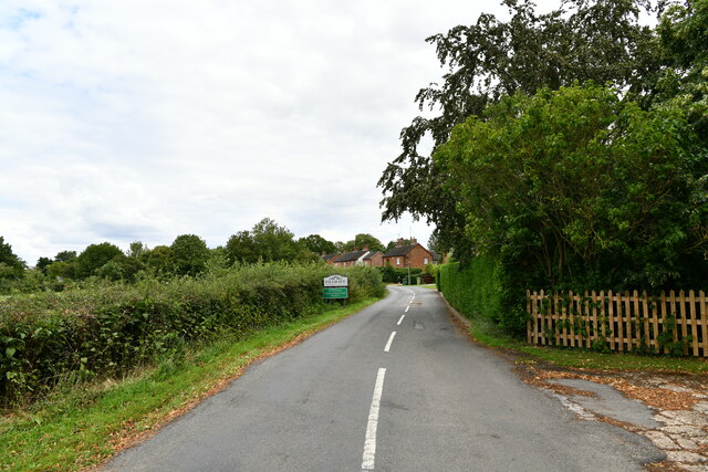
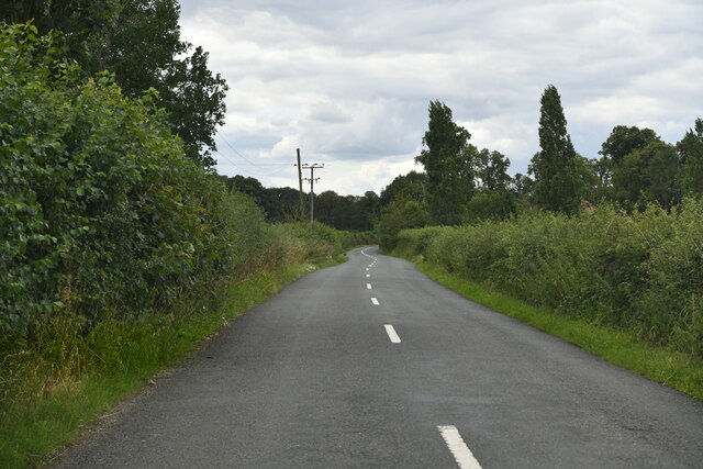
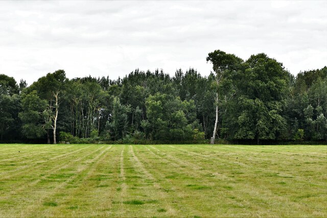
Ash Spinney is a quaint woodland area located in Buckinghamshire, England. It is nestled within the larger village of Ashendon, known for its picturesque surroundings and peaceful ambiance. Ash Spinney is characterized by its dense forest cover, with towering trees and a diverse range of flora and fauna.
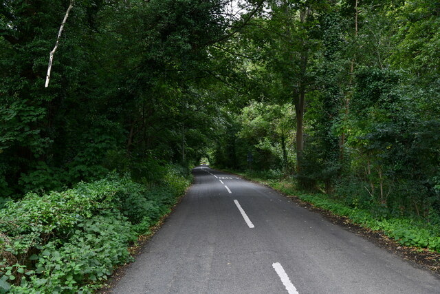
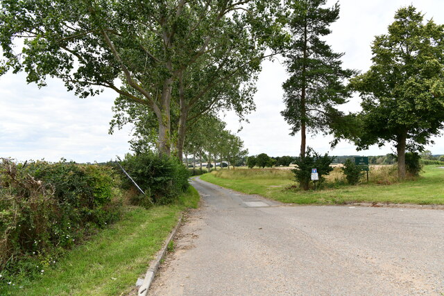
The woodland is a haven for nature enthusiasts and offers an ideal setting for outdoor activities. Visitors can explore the numerous walking trails that wind through the forest, providing breathtaking views of the surrounding countryside. The area is also popular among birdwatchers, as it is home to a variety of bird species including woodpeckers, owls, and songbirds.
Ash Spinney is not only a natural paradise but also holds historical significance. The woodland is believed to have ancient roots, with archaeological evidence suggesting human presence in the area dating back centuries. There are remnants of ancient settlements and burial grounds, adding a layer of intrigue to the already enchanting atmosphere.
The woodland is well-maintained, with designated picnic areas and benches for visitors to relax and take in the serene surroundings. Additionally, the area is responsibly managed to ensure the preservation of its biodiversity and ecological balance.
Ash Spinney exudes a sense of tranquility and offers a much-needed escape from the hustle and bustle of modern life. Whether it's a leisurely stroll through the forest or a peaceful picnic amidst nature, Ash Spinney is a destination that promises a rejuvenating experience for all who visit.
If you have any feedback on the listing, please let us know in the comments section below.
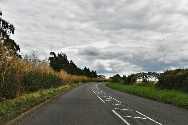
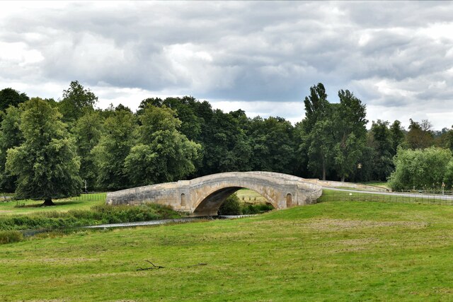
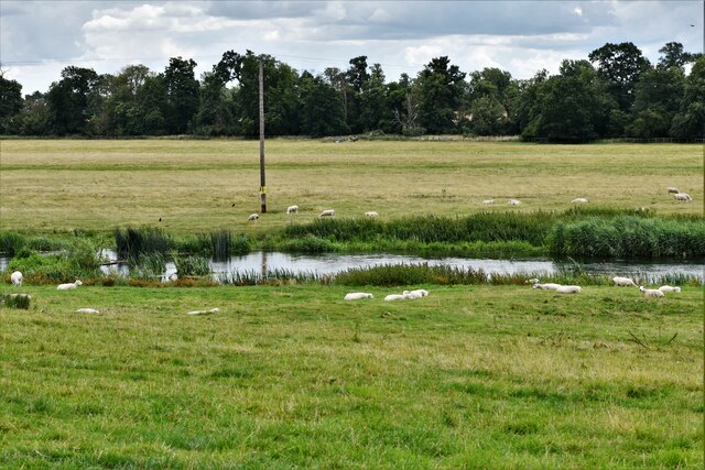
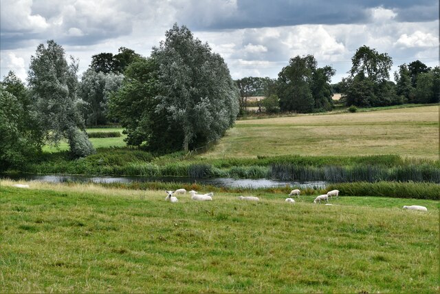
Ash Spinney Images
Images are sourced within 2km of 52.11535/-0.74419005 or Grid Reference SP8647. Thanks to Geograph Open Source API. All images are credited.
Ash Spinney is located at Grid Ref: SP8647 (Lat: 52.11535, Lng: -0.74419005)
Unitary Authority: Milton Keynes
Police Authority: Thames Valley
What 3 Words
///yelled.hacking.dices. Near Gayhurst, Buckinghamshire
Related Wikis

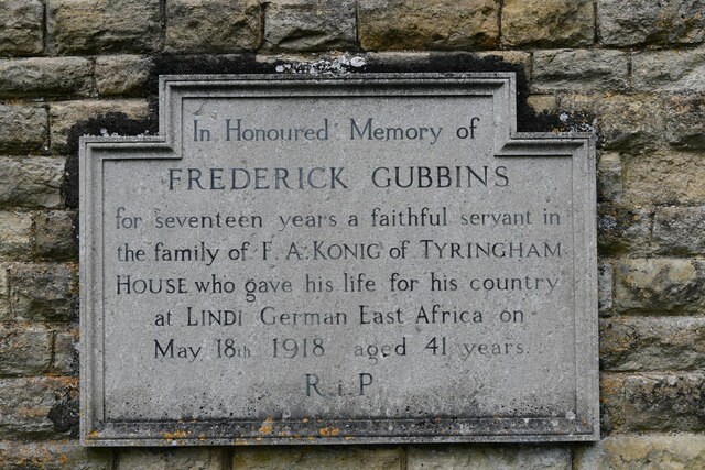
Tyringham
Tyringham (/ˈtiːrɪŋəm/) is a village in the unitary authority area of the City of Milton Keynes, Buckinghamshire, England. It is located about a mile and...

Tyringham Hall
Tyringham Hall (/ˈtiːrɪŋəm/) is a Grade I listed stately home, originally designed by Sir John Soane in 1792. It is located in Tyringham near Newport Pagnell...

Gayhurst
Gayhurst is a village and civil parish in the unitary authority area of the City of Milton Keynes, Buckinghamshire, England. It is about 2.5 miles (4...

Newport Hundred
Newport Hundred was a hundred in the county of Buckinghamshire, England. It encompassed the north of the county, enclosed by the counties of Bedfordshire...

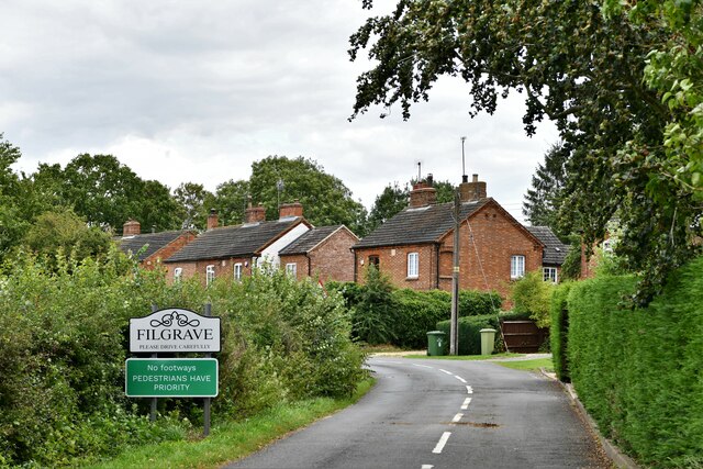
Filgrave
Filgrave is a hamlet in the unitary authority area of the City of Milton Keynes, Buckinghamshire, England. It is about 3 miles (4.8 km) north of Newport...

City of Milton Keynes
The City of Milton Keynes is a unitary authority area with both borough and city status, in Buckinghamshire. It is the northernmost district of the South...

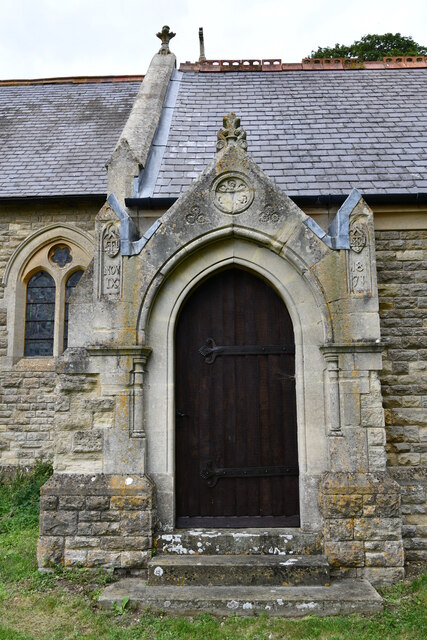
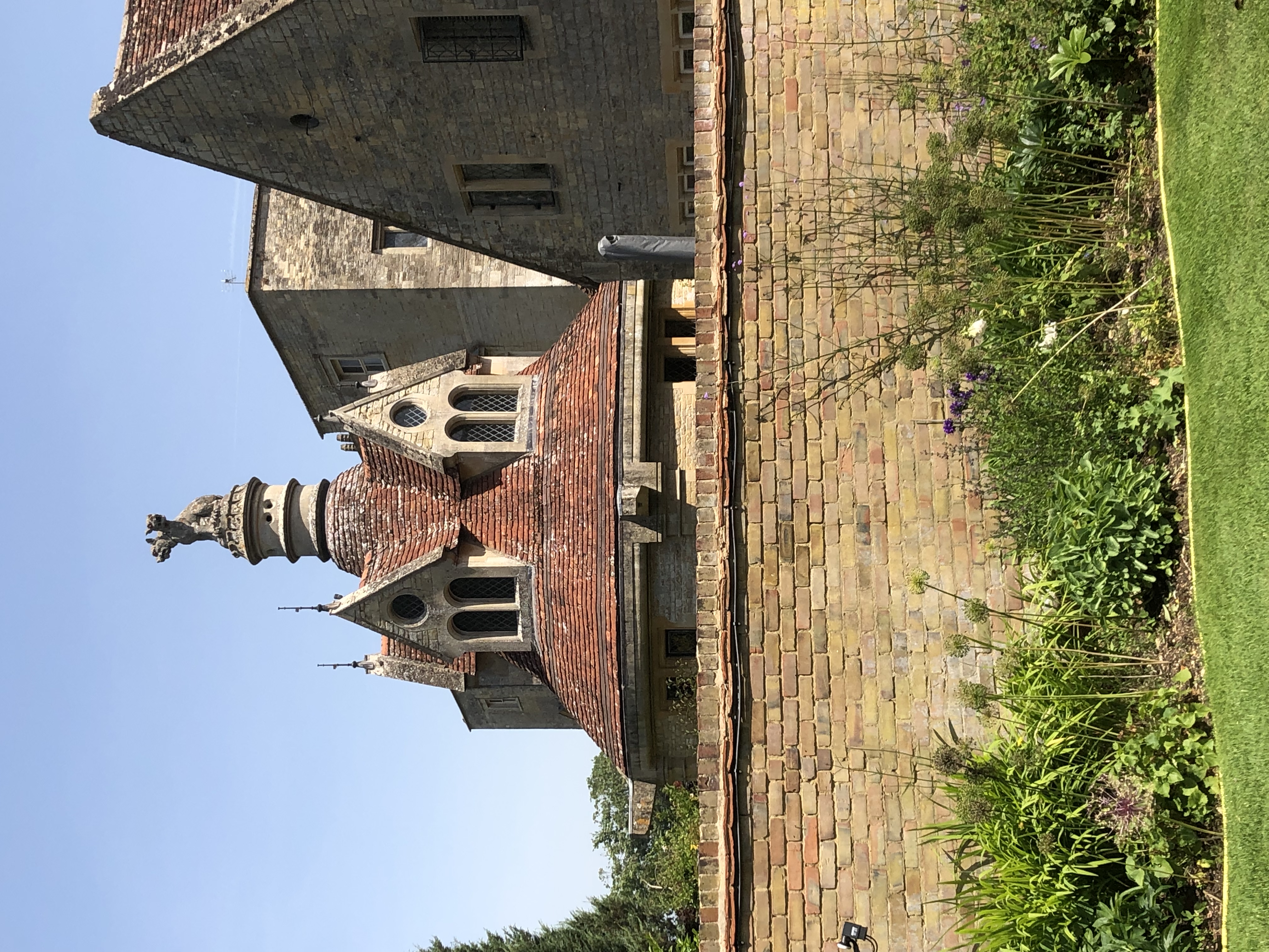
Gayhurst House
Gayhurst House (now known as Gayhurst Court) is a late-Elizabethan country house in Buckinghamshire. It is located near the village of Gayhurst, several...
Cerberus Privy
The Cerberus Privy, at Gayhurst House, Buckinghamshire, England, is a communal lavatory built for the male servants of the house. It was constructed between...
Nearby Amenities
Located within 500m of 52.11535,-0.74419005Have you been to Ash Spinney?
Leave your review of Ash Spinney below (or comments, questions and feedback).