Beck Plantation
Wood, Forest in Yorkshire Ryedale
England
Beck Plantation

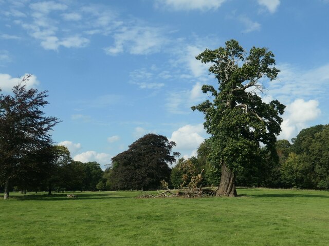
Beck Plantation is a picturesque and historic woodland located in the heart of Yorkshire, England. Situated near the village of Beck, the plantation is known for its dense forest and scenic beauty. Spanning over a vast area of land, the plantation offers a sanctuary for various species of flora and fauna, making it a popular destination for nature enthusiasts and wildlife lovers.
The woodland is characterized by its towering trees, primarily consisting of oak, beech, and birch, which create a stunning canopy that filters the sunlight and creates a tranquil atmosphere. The forest floor is adorned with a carpet of vibrant wildflowers during the spring and summer months, adding to the plantation's natural charm.
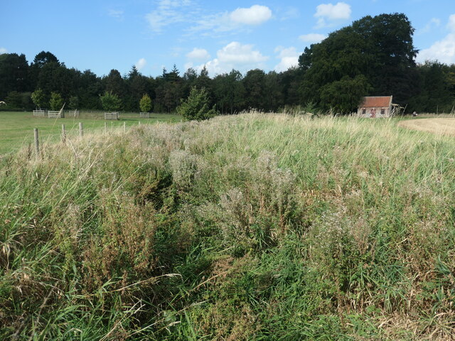
Several walking trails meander through the plantation, allowing visitors to explore its hidden gems. These trails are well-marked and provide an opportunity for hikers to immerse themselves in the serene surroundings, while also learning about the plantation's rich history. Along the way, one may encounter a diverse range of wildlife, including deer, rabbits, and various bird species.
Beck Plantation has a significant historical background, with evidence of human habitation dating back centuries. Archaeological excavations have uncovered artifacts from different periods, shedding light on the area's past. The plantation's historical significance makes it an intriguing location for history enthusiasts and researchers.
Overall, Beck Plantation is a haven of natural beauty, offering a peaceful retreat from the bustling city life. Its scenic trails, diverse wildlife, and rich history make it a must-visit destination for anyone seeking to connect with nature and delve into Yorkshire's enchanting woodland heritage.
If you have any feedback on the listing, please let us know in the comments section below.
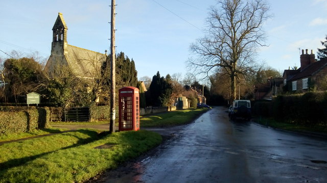
Beck Plantation Images
Images are sourced within 2km of 54.180137/-0.68244087 or Grid Reference SE8676. Thanks to Geograph Open Source API. All images are credited.


![September vegetables, Scampston Walled Garden A row of celeriac [I think] in the vegetable garden. One of 12 distinct areas in the walled garden. The layout was designed by Piet Oudolf in 1999.](https://s1.geograph.org.uk/geophotos/06/96/86/6968641_59459462.jpg)


Beck Plantation is located at Grid Ref: SE8676 (Lat: 54.180137, Lng: -0.68244087)
Division: East Riding
Administrative County: North Yorkshire
District: Ryedale
Police Authority: North Yorkshire
What 3 Words
///headless.peachy.trending. Near Rillington, North Yorkshire
Nearby Locations
Related Wikis
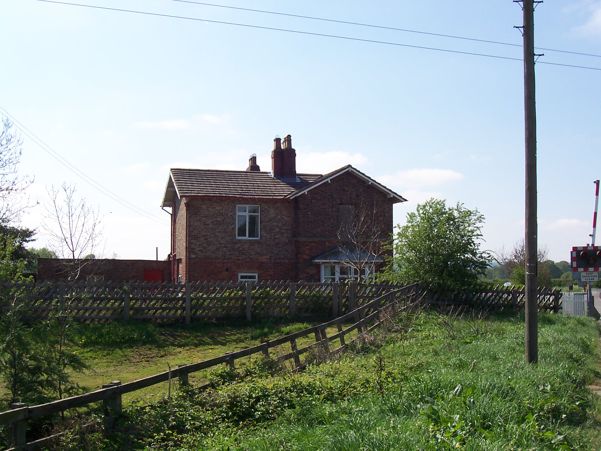
Knapton railway station
Knapton railway station was a minor railway station serving the villages of East Knapton and West Knapton in North Yorkshire, England. It was also the...
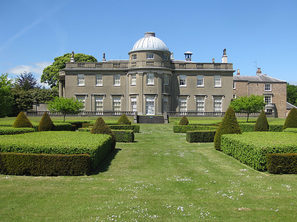
Scampston Hall
Scampston Hall is a Grade II* listed country house in North Yorkshire, England, with a serpentine park designed by Charles Bridgeman and Capability Brown...
Scampston
Scampston is a village and civil parish in North Yorkshire, England. It lies close to the A64 road, approximately 3 miles (4.8 km) east of Malton. Until...

West Knapton
West Knapton is a small village in North Yorkshire, England. It is situated on the edge of the Yorkshire Wolds at the foot of the North York Moors. The...
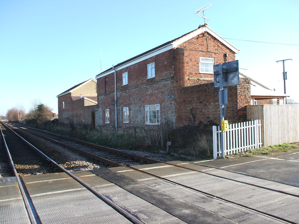
Rillington railway station
Rillington railway station (Rillington Junction until 1890) was a railway station serving the village of Rillington in North Yorkshire, England and on...

East Knapton
East Knapton is a village in the North Yorkshire, England. Until 1974 the village lay in the historic county boundaries of the East Riding of Yorkshire...
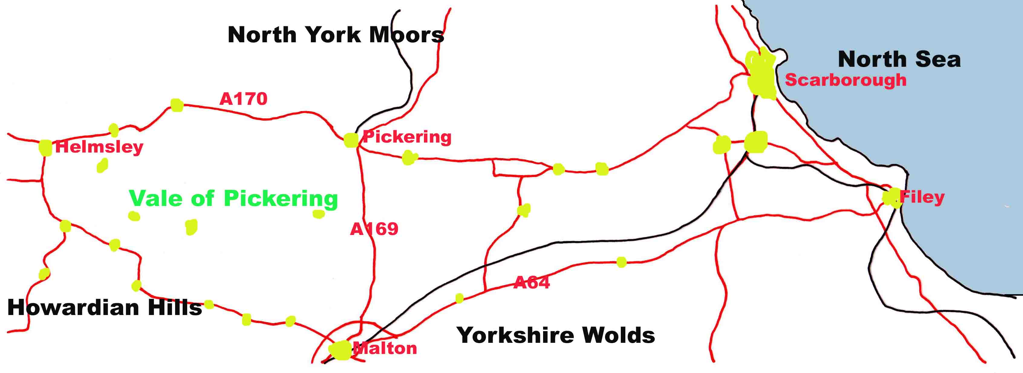
Vale of Pickering
The Vale of Pickering is a low-lying flat area of land in North Yorkshire, England. It is drained by the River Derwent. The landscape is rural with scattered...

Rillington
Rillington is a village and civil parish in North Yorkshire, England. Rillington was mentioned in the Domesday Survey in 1086 and rural life was relatively...
Nearby Amenities
Located within 500m of 54.180137,-0.68244087Have you been to Beck Plantation?
Leave your review of Beck Plantation below (or comments, questions and feedback).