Round Clump

Wood, Forest in Buckinghamshire

England

Round Clump

Drive up to Tyringham Hall
Drive up to Tyringham Hall Credit: Philip Jeffrey

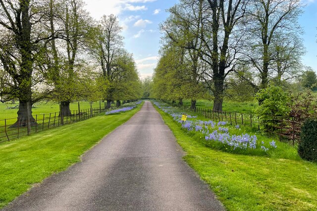
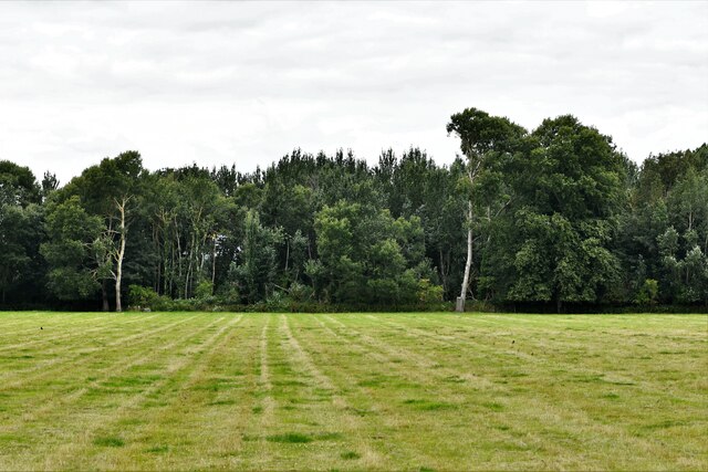
Round Clump is a picturesque woodland area located in Buckinghamshire, England. Nestled within the larger Buckinghamshire Forest, this charming spot is a haven for nature enthusiasts and outdoor lovers alike.

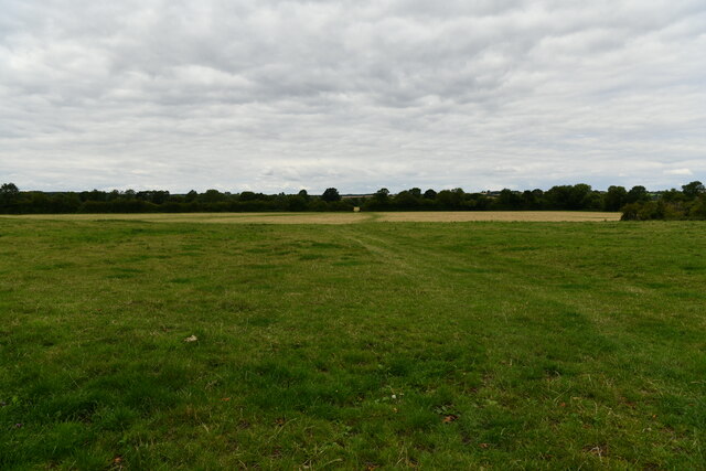
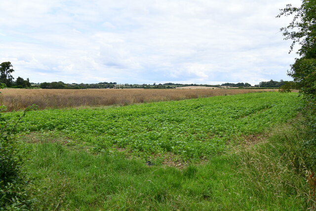
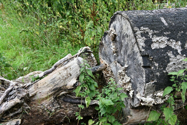
Covering an area of approximately 50 acres, Round Clump is characterized by its dense and diverse vegetation. The woodland boasts a variety of tree species, including oak, beech, and birch, which provide a rich, green canopy throughout the year. The forest floor is carpeted with a lush undergrowth of ferns, mosses, and wildflowers, creating a vibrant and enchanting atmosphere.

The woodland is home to a wide array of wildlife, making it a popular destination for birdwatchers and wildlife photographers. Visitors can spot various species of birds, such as woodpeckers, owls, and thrushes, as well as small mammals like squirrels, rabbits, and foxes. The tranquil setting and abundance of wildlife make Round Clump an ideal location for nature walks and peaceful picnics.

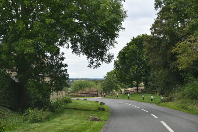
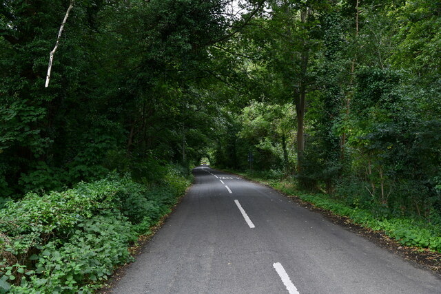
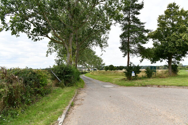
A network of well-maintained footpaths crisscrosses Round Clump, allowing visitors to explore the woodland at their own pace. The paths wind through the trees, leading to scenic viewpoints and secluded clearings, perfect for quiet contemplation or enjoying the beauty of the surroundings.

Round Clump is a true gem in the Buckinghamshire Forest, offering a tranquil escape from the hustle and bustle of everyday life. With its diverse flora and fauna, well-marked trails, and serene atmosphere, it is a destination that appeals to nature lovers and those seeking a peaceful retreat in the heart of nature.

If you have any feedback on the listing, please let us know in the comments section below.
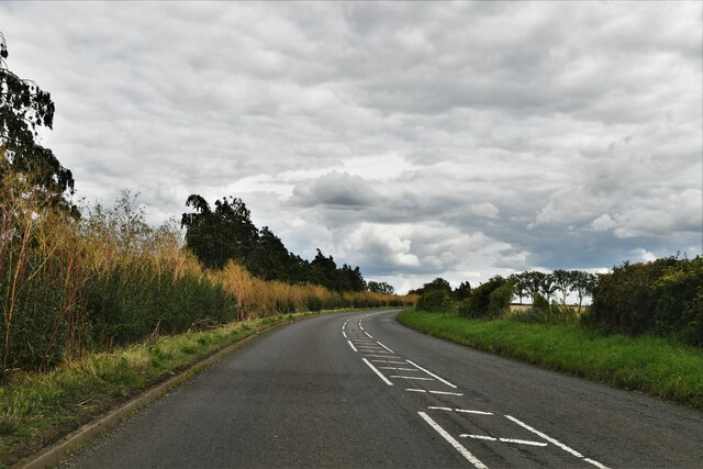
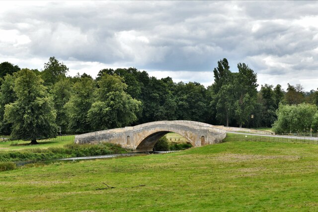
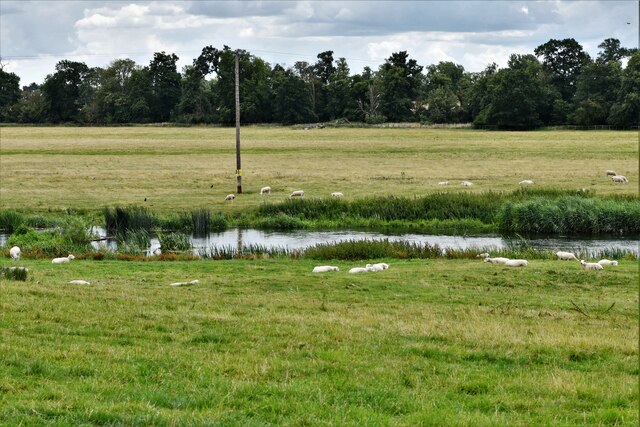
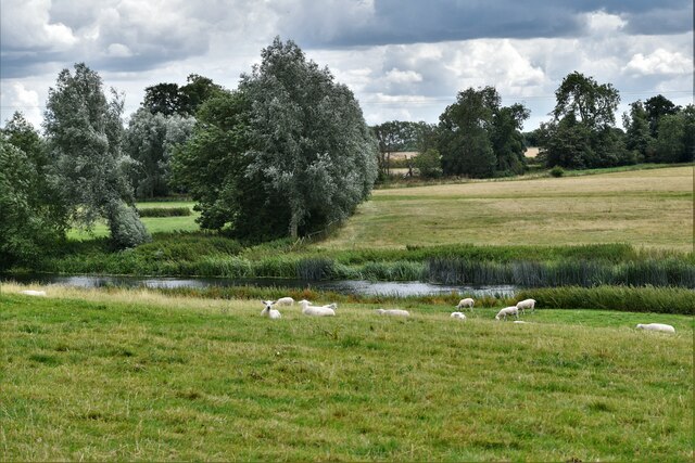
Round Clump Images

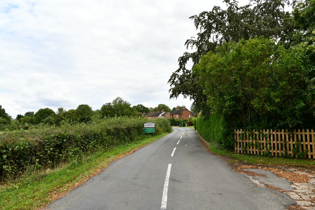
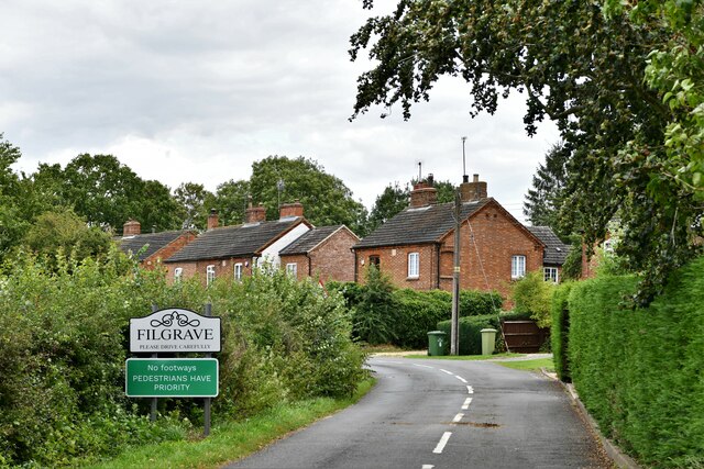
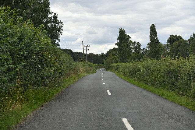
Images are sourced within 2km of 52.116427/-0.74154549 or Grid Reference SP8647. Thanks to Geograph Open Source API. All images are credited.

Drive up to Tyringham Hall
Filgrave: Rectory Lane
Filgrave: Grassland
Filgrave: Grassland
Filgrave: Root crop
Filgrave: Root crop
Filgrave: Tree placed to prevent access to the field
Filgrave: Entering Blackthorn Covert
Tyringham with Filgrave: St. Peter's Church
Lathbury: Road to Quarry Hall Farm
Filgrave: Entering the village
Filgrave: The road to Blackthorn Covert
Filgrave: Broadmore Covert
Lathbury: Northampton Road
Tyringham with Filgrave: Tyringham Bridge
Tyringham with Filgrave: Sheep
Tyringham with Filgrave, St. Peter's Church: Frederick Gubbins memorial Sited on the external south wall.
Tyringham with Filgrave, St. Peter's Church: Frederick Gubbins memorial
Sited on the external south wall.
Tyringham with Filgraven St. Peter's Church: South entrance doorway
Show me another place!

Round Clump is located at Grid Ref: SP8647 (Lat: 52.116427, Lng: -0.74154549)

Unitary Authority: Milton Keynes

Police Authority: Thames Valley

What 3 Words

///parkland.prouder.lasts. Near Gayhurst, Buckinghamshire

Related Wikis

Tyringham

Tyringham (/ˈtiːrɪŋəm/) is a village in the unitary authority area of the City of Milton Keynes, Buckinghamshire, England. It is located about a mile and...

Tyringham Hall

Tyringham Hall (/ˈtiːrɪŋəm/) is a Grade I listed stately home, originally designed by Sir John Soane in 1792. It is located in Tyringham near Newport Pagnell...

Filgrave

Filgrave is a hamlet in the unitary authority area of the City of Milton Keynes, Buckinghamshire, England. It is about 3 miles (4.8 km) north of Newport...

Gayhurst

Gayhurst is a village and civil parish in the unitary authority area of the City of Milton Keynes, Buckinghamshire, England. It is about 2.5 miles (4...

Nearby Amenities

Located within 500m of 52.116427,-0.74154549
Tyringham Hall
Naptan AtcoCode: 049002649531
Naptan Bearing: N
Naptan BusStopType: CUS
Naptan CommonName: Tyringham Hall
Naptan Indicator: o/s
Naptan Landmark: The Shrubs
Naptan NaptanCode: mltama
Naptan Street: Upper Church Street
Naptan Verified: no
Source: naptan_import
Lat/Long: 52.1153046/-0.7477797
Bus Stop
Tyringham Hall
Bus: yes
Naptan AtcoCode: 049002829031
Naptan Bearing: S
Naptan CommonName: Tyringham Hall
Naptan Indicator: opposite
Naptan Landmark: The Shrubs
Naptan NaptanCode: mltawmt
Naptan Street: Upper Church Street
Naptan Verified: no
Public Transport: platform
Source: naptan_import
Lat/Long: 52.1155457/-0.7476269
Post Box
Brand: Royal Mail
Brand Wikidata: Q638098
Brand Wikipedia: en:Royal Mail
Collection Times: Mo-Fr 16:15; Sa 08:45
Operator: Royal Mail
Operator Wikidata: Q638098
Post Box Type: lamp
Ref: MK16 155
Royal Cypher: EIIR
Royal Cypher Wikidata: Q33102113
Source: survey
Survey Date: 2015-10-10
Lat/Long: 52.1154325/-0.7477094
Power: pole
Lat/Long: 52.112643/-0.7420117
Power: pole
Lat/Long: 52.1155979/-0.7466854
Power: pole
Lat/Long: 52.1146797/-0.7451566
Power: pole
Lat/Long: 52.1140184/-0.7439053
Power: pole
Lat/Long: 52.1135885/-0.7426661
Power: pole
Lat/Long: 52.1131091/-0.7412982
Power: pole
Lat/Long: 52.1130861/-0.7412231
Power: pole
Lat/Long: 52.112881/-0.7394689
Power: pole
Lat/Long: 52.113586/-0.7395333
Power: pole
Lat/Long: 52.1143214/-0.7395695
Power: pole
Lat/Long: 52.1150412/-0.7396352
Power: pole
Lat/Long: 52.1157717/-0.7396902
Power: pole
Lat/Long: 52.1165178/-0.7397345
Power: pole
Lat/Long: 52.1172639/-0.7396621
Power: pole
Lat/Long: 52.1180495/-0.7395896
Power: pole
Lat/Long: 52.1188524/-0.7395011
Power: pole
Lat/Long: 52.1196199/-0.7394099
Power: pole
Lat/Long: 52.120389/-0.7393456
The data included in this document is from www.openstreetmap.org. The data is made available under ODbL.

Have you been to Round Clump?

Leave your review of Round Clump below (or comments, questions and feedback).