Blackthorn Covert
Wood, Forest in Buckinghamshire
England
Blackthorn Covert
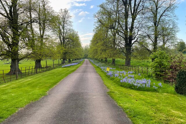
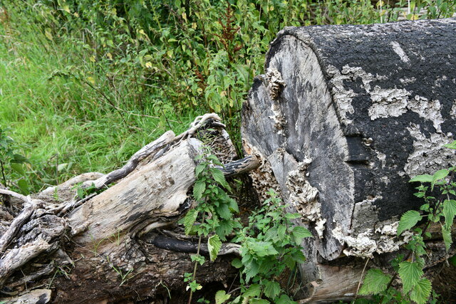
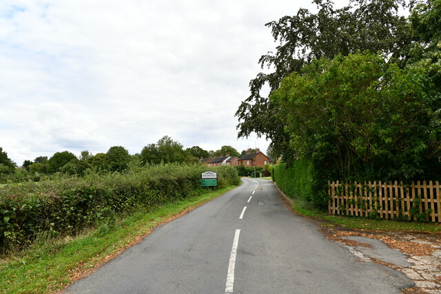
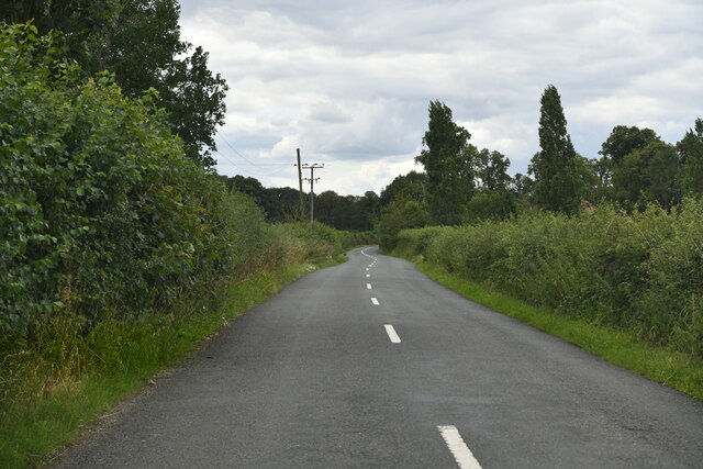
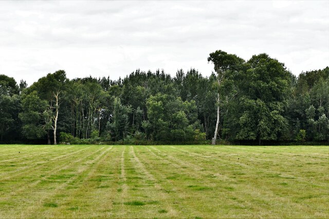
Blackthorn Covert is a picturesque woodland located in Buckinghamshire, England. Covering an area of approximately 50 acres, this natural haven is renowned for its diverse array of flora and fauna. The woodland boasts a mix of deciduous and coniferous trees, including oak, beech, and pine, creating a stunning and varied landscape.
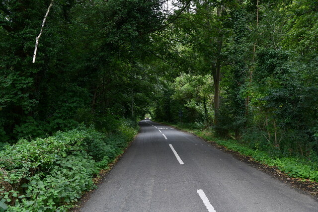
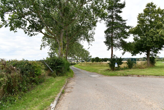
Visitors to Blackthorn Covert can explore a network of well-maintained footpaths that wind through the forest, providing opportunities for leisurely walks and hikes. The tranquil atmosphere and peaceful surroundings make it an ideal destination for nature enthusiasts, birdwatchers, and those seeking a peaceful retreat.
The woodland is home to a rich diversity of wildlife, making it a popular spot for wildlife enthusiasts. Deer, rabbits, and squirrels are frequently spotted in the area, while a variety of bird species, including woodpeckers, owls, and thrushes, can be seen and heard throughout the year.
In addition to its natural beauty, Blackthorn Covert offers a range of recreational activities. The woodland features designated picnic areas where visitors can enjoy a leisurely lunch amidst the serene surroundings. Educational programs and guided nature walks are also available, providing visitors with the opportunity to learn about the local ecosystem and its inhabitants.
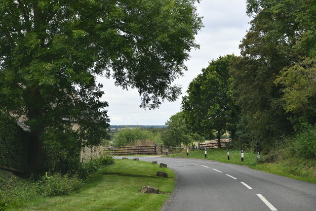
Blackthorn Covert is easily accessible, with a car park located nearby, making it a popular destination for both locals and tourists. Whether seeking a peaceful escape or an educational adventure, this woodland offers a truly enriching experience for all who visit.
If you have any feedback on the listing, please let us know in the comments section below.
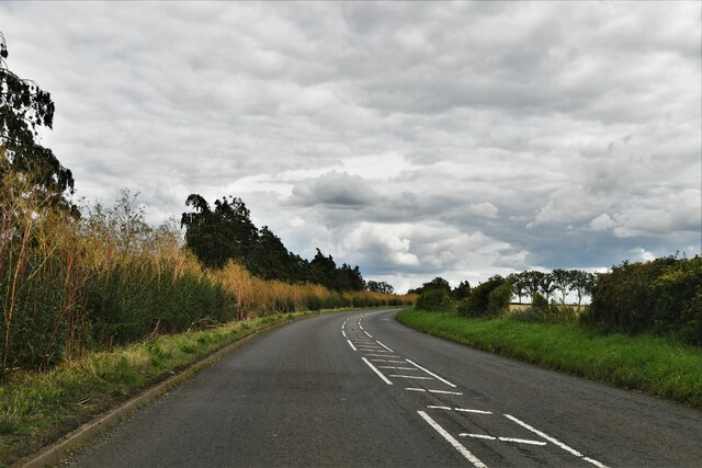
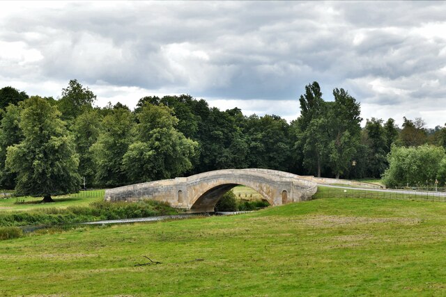
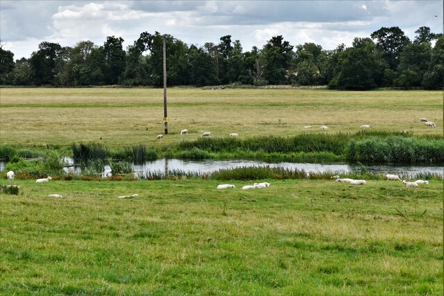
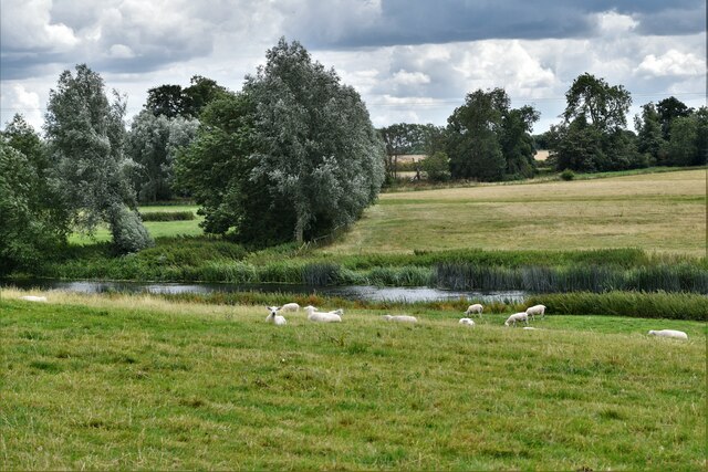
Blackthorn Covert Images
Images are sourced within 2km of 52.117538/-0.7453408 or Grid Reference SP8647. Thanks to Geograph Open Source API. All images are credited.
Blackthorn Covert is located at Grid Ref: SP8647 (Lat: 52.117538, Lng: -0.7453408)
Unitary Authority: Milton Keynes
Police Authority: Thames Valley
What 3 Words
///watched.newlywed.depravity. Near Gayhurst, Buckinghamshire
Related Wikis

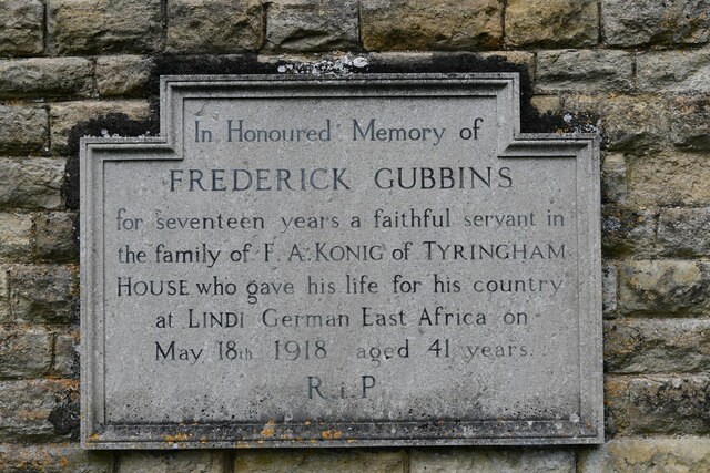
Tyringham
Tyringham (/ˈtiːrɪŋəm/) is a village in the unitary authority area of the City of Milton Keynes, Buckinghamshire, England. It is located about a mile and...

Tyringham Hall
Tyringham Hall (/ˈtiːrɪŋəm/) is a Grade I listed stately home, originally designed by Sir John Soane in 1792. It is located in Tyringham near Newport Pagnell...

Gayhurst
Gayhurst is a village and civil parish in the unitary authority area of the City of Milton Keynes, Buckinghamshire, England. It is about 2.5 miles (4...

Newport Hundred
Newport Hundred was a hundred in the county of Buckinghamshire, England. It encompassed the north of the county, enclosed by the counties of Bedfordshire...

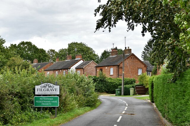
Filgrave
Filgrave is a hamlet in the unitary authority area of the City of Milton Keynes, Buckinghamshire, England. It is about 3 miles (4.8 km) north of Newport...

City of Milton Keynes
The City of Milton Keynes is a unitary authority area with both borough and city status, in Buckinghamshire. It is the northernmost district of the South...

Gayhurst House
Gayhurst House (now known as Gayhurst Court) is a late-Elizabethan country house in Buckinghamshire. It is located near the village of Gayhurst, several...
Cerberus Privy
The Cerberus Privy, at Gayhurst House, Buckinghamshire, England, is a communal lavatory built for the male servants of the house. It was constructed between...
Nearby Amenities
Located within 500m of 52.117538,-0.7453408Have you been to Blackthorn Covert?
Leave your review of Blackthorn Covert below (or comments, questions and feedback).