Tyringham and Filgrave

Civil Parish in Buckinghamshire

England

Tyringham and Filgrave

Drive up to Tyringham Hall
Drive up to Tyringham Hall Credit: Philip Jeffrey

Tyringham and Filgrave is a civil parish located in the county of Buckinghamshire, England. It is situated approximately three miles east of the town of Newport Pagnell and covers an area of around 1,070 acres.

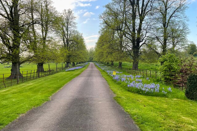
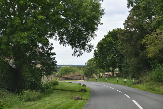
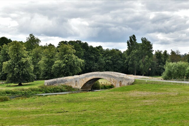
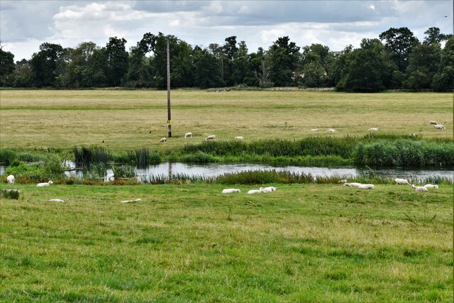
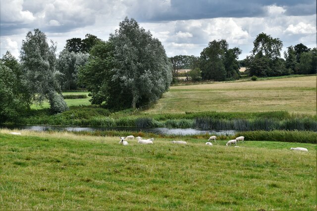
The civil parish is made up of two main villages, Tyringham and Filgrave, which are nestled in the picturesque Ouse Valley. The area is known for its stunning natural beauty, with rolling hills, meadows, and woodland surrounding the villages. The River Great Ouse flows through the parish, adding to its scenic charm.

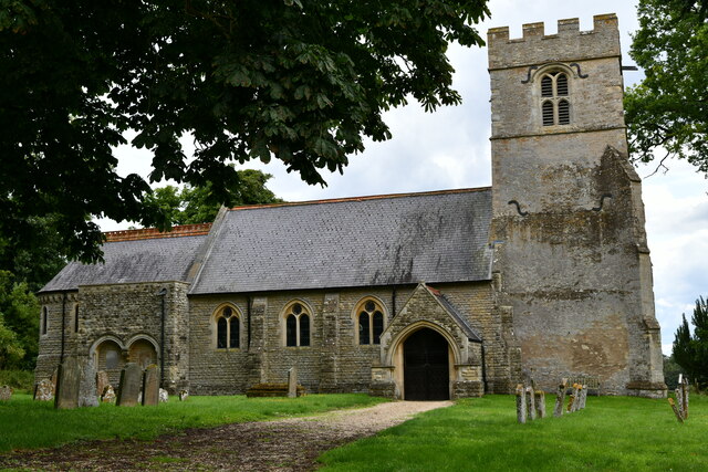
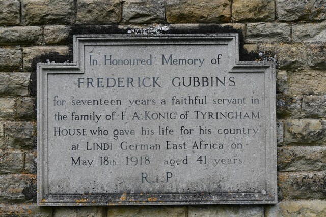
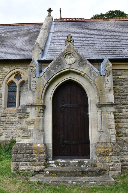
Tyringham and Filgrave have a combined population of around 200 people, making it a small and tight-knit community. The villages have a rich history, dating back to medieval times. The local architecture reflects this history, with many buildings displaying traditional English design elements.

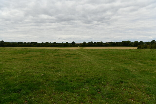
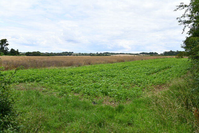
The parish is predominantly rural, with agriculture being an important part of the local economy. The fertile land is used for farming, mainly for crops and livestock. Additionally, the area is known for its conservation efforts, with several nature reserves and protected sites within the parish boundaries.

Despite its rural location, Tyringham and Filgrave benefits from its proximity to nearby towns and cities. Residents have access to amenities and services in Newport Pagnell and Milton Keynes, both of which are within easy reach.

Overall, Tyringham and Filgrave offer a peaceful and idyllic setting, perfect for those seeking a rural lifestyle with easy access to nearby urban areas.

If you have any feedback on the listing, please let us know in the comments section below.

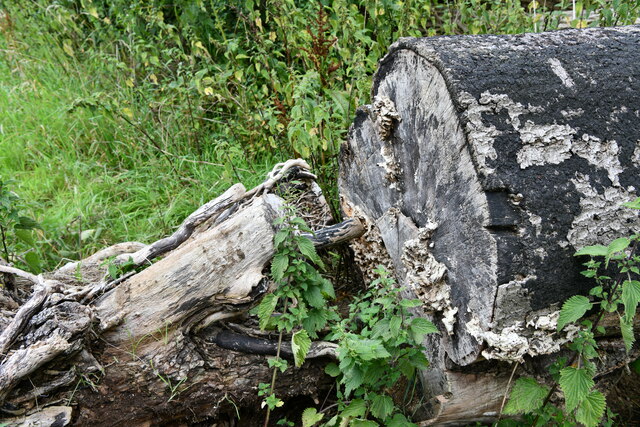
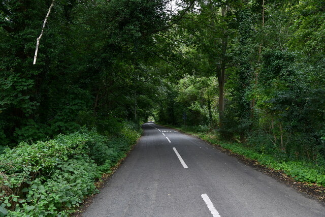
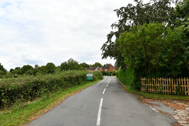
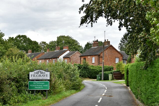
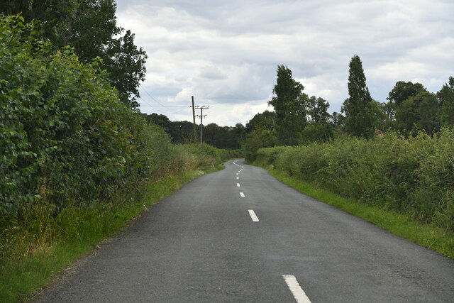
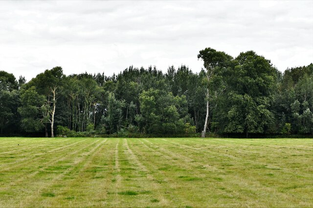
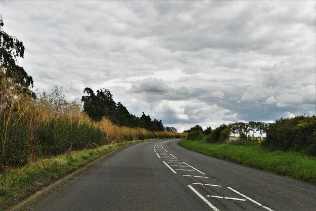
Tyringham and Filgrave Images

Images are sourced within 2km of 52.1234/-0.734719 or Grid Reference SP8647. Thanks to Geograph Open Source API. All images are credited.

Drive up to Tyringham Hall
Filgrave: Rectory Lane
Filgrave: Grassland
Filgrave: Grassland
Filgrave: Root crop
Filgrave: Root crop
Filgrave: Tree placed to prevent access to the field
Filgrave: Entering Blackthorn Covert
Tyringham with Filgrave: St. Peter's Church
Filgrave: Gated farm track
Filgrave: Entering the village
Filgrave: The road to Blackthorn Covert
Filgrave: Broadmore Covert
Lathbury: Northampton Road
Tyringham with Filgrave: Tyringham Bridge
Tyringham with Filgrave: Sheep
Tyringham with Filgrave, St. Peter's Church: Frederick Gubbins memorial Sited on the external south wall.
Tyringham with Filgrave, St. Peter's Church: Frederick Gubbins memorial
Sited on the external south wall.
Tyringham with Filgraven St. Peter's Church: South entrance doorway
Show me another place!

Tyringham and Filgrave is located at Grid Ref: SP8647 (Lat: 52.1234, Lng: -0.734719)

Unitary Authority: Milton Keynes

Police Authority: Thames Valley

What 3 Words

///award.hatter.drags. Near Gayhurst, Buckinghamshire

Related Wikis

Filgrave

Filgrave is a hamlet in the unitary authority area of the City of Milton Keynes, Buckinghamshire, England. It is about 3 miles (4.8 km) north of Newport...

Tyringham

Tyringham (/ˈtiːrɪŋəm/) is a village in the unitary authority area of the City of Milton Keynes, Buckinghamshire, England. It is located about a mile and...

Tyringham Hall

Tyringham Hall (/ˈtiːrɪŋəm/) is a Grade I listed stately home, originally designed by Sir John Soane in 1792. It is located in Tyringham near Newport Pagnell...

Gayhurst

Gayhurst is a village and civil parish in the unitary authority area of the City of Milton Keynes, Buckinghamshire, England. It is about 2.5 miles (4...

Newport Hundred

Newport Hundred was a hundred in the county of Buckinghamshire, England. It encompassed the north of the county, enclosed by the counties of Bedfordshire...

Emberton

Emberton is a village and civil parish in the unitary authority area of the City of Milton Keynes, in Buckinghamshire, England. The village is near the...

City of Milton Keynes

The City of Milton Keynes is a unitary authority area with both borough and city status, in Buckinghamshire. It is the northernmost district of the South...

Sherington

Sherington is a village and civil parish in the unitary authority area of the City of Milton Keynes, Buckinghamshire, England. It is located 2 miles (3...

Nearby Amenities

Located within 500m of 52.1234,-0.734719
Filgrave
Place: hamlet
Wikidata: Q4586885
Lat/Long: 52.1258582/-0.7296281
Bus Stop
Filgrave School
Bus: yes
Naptan AtcoCode: 049002209311
Naptan Bearing: SW
Naptan BusStopType: CUS
Naptan CommonName: Filgrave School
Naptan Indicator: o/s
Naptan Landmark: Filgrave Clock Tower
Naptan NaptanCode: mltadad
Naptan Street: Filgrave Unamed Road
Naptan Verified: no
Public Transport: platform
Source: naptan_import
Lat/Long: 52.1255908/-0.7301368
Bus Stop
Filgrave School
Bus: yes
Naptan AtcoCode: 049002209811
Naptan Bearing: E
Naptan BusStopType: CUS
Naptan CommonName: Filgrave School
Naptan Indicator: opp
Naptan Landmark: Filgrave Clock Tower
Naptan NaptanCode: mltadag
Naptan Street: Filgrave Unamed Road
Naptan Verified: no
Public Transport: platform
Shelter: no
Source: naptan_import
Lat/Long: 52.1256288/-0.7301994
Barrier: stile
Lat/Long: 52.1250561/-0.7294965
Post Box
Brand: Royal Mail
Brand Wikidata: Q638098
Brand Wikipedia: en:Royal Mail
Collection Times: Mo-Fr 16:30; Sa 09:00
Operator: Royal Mail
Operator Wikidata: Q638098
Post Box Type: wall
Ref: MK16 148
Royal Cypher: VR
Royal Cypher Wikidata: Q33102356
Source: survey
Survey Date: 2015-10-10
Lat/Long: 52.1263204/-0.7292015
Power: pole
Lat/Long: 52.120389/-0.7393456
Power: pole
Lat/Long: 52.1207727/-0.7383397
Power: pole
Lat/Long: 52.1212256/-0.7371569
Power: pole
Lat/Long: 52.1216587/-0.7360062
Power: pole
Lat/Long: 52.1220803/-0.7348797
Power: pole
Lat/Long: 52.1225661/-0.7336244
Power: pole
Lat/Long: 52.1230206/-0.7323852
Power: pole
Lat/Long: 52.1234718/-0.7311997
Power: pole
Lat/Long: 52.1242219/-0.7301322
Power: pole
Lat/Long: 52.124534/-0.7288393
Power: pole
Lat/Long: 52.1247909/-0.7278161
Pipeline: marker
Lat/Long: 52.1228634/-0.7396373
Pipeline: marker
Lat/Long: 52.1229298/-0.7397345
Direction: 230
Generator Method: photovoltaic
Generator Output Electricity: yes
Generator Solar Modules: 12
Generator Source: solar
Generator Type: solar_photovoltaic_panel
Location: roof
Power: generator
Lat/Long: 52.1256811/-0.7305537
Direction: 220
Generator Method: photovoltaic
Generator Output Electricity: yes
Generator Solar Modules: 4
Generator Source: solar
Generator Type: solar_photovoltaic_panel
Location: roof
Power: generator
Lat/Long: 52.1264243/-0.7293232
The data included in this document is from www.openstreetmap.org. The data is made available under ODbL.

Have you been to Tyringham and Filgrave?

Leave your review of Tyringham and Filgrave below (or comments, questions and feedback).