Fizgig Hole Plantation

Wood, Forest in Yorkshire Ryedale

England

Fizgig Hole Plantation

Shelter from the rain Large trees made for a good shelter for lunch on the wettest day since March.
Shelter from the rain Credit: T Eyre

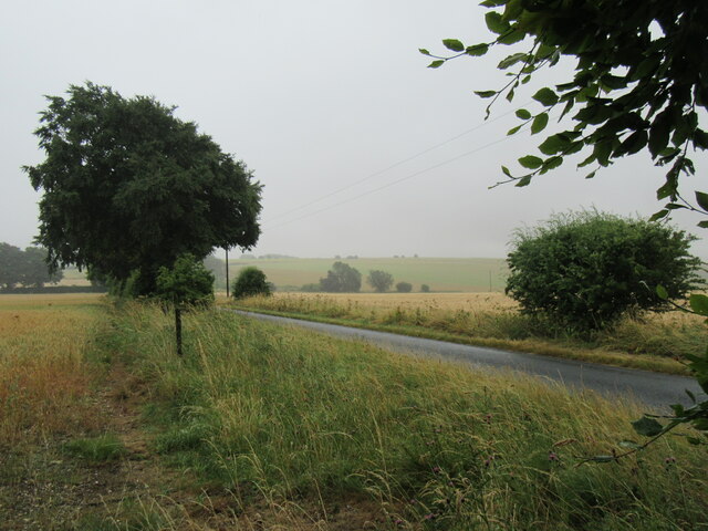
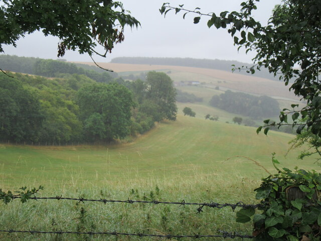
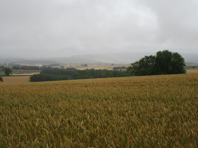
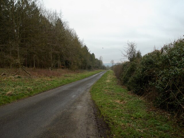
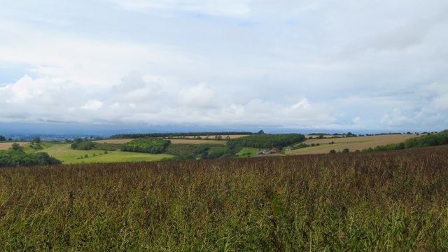
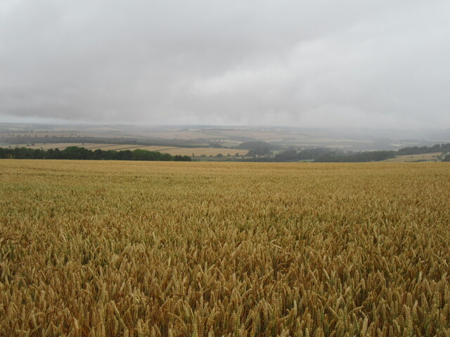
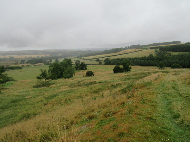
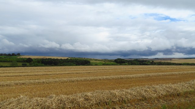
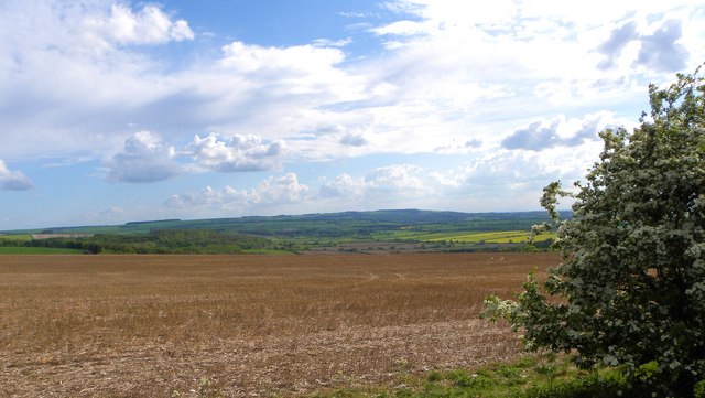
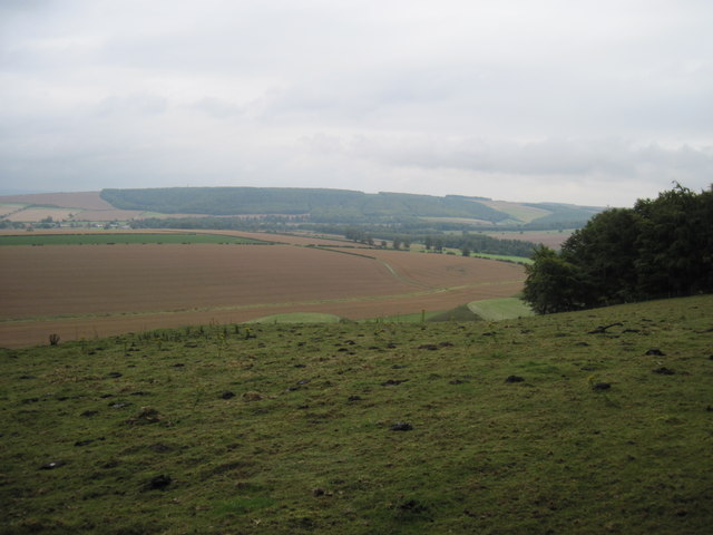
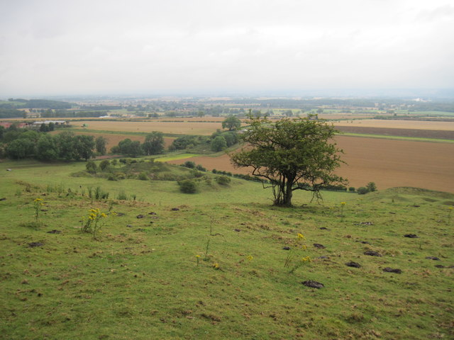
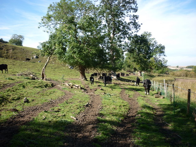
Fizgig Hole Plantation is a picturesque woodland located in the county of Yorkshire, England. Nestled within the rolling hills and verdant landscapes of the region, this plantation stands as a testament to the natural beauty and diversity of Yorkshire's woodlands.

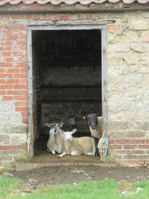
Covering an expansive area, Fizgig Hole Plantation is home to a rich variety of flora and fauna. The woodland is predominantly composed of broadleaf trees such as oak, beech, and birch, which create a dense canopy overhead and provide a habitat for a myriad of wildlife species.

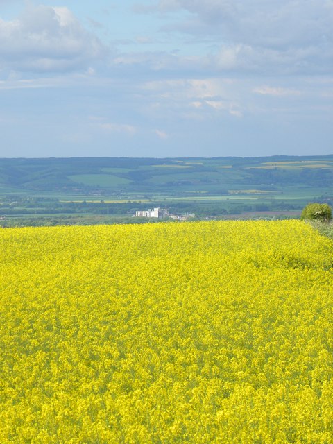
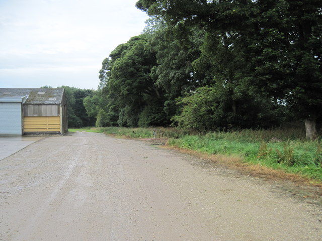
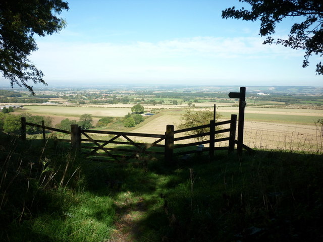
Visitors to Fizgig Hole Plantation can explore its enchanting trails, winding through the forest floor and offering glimpses of its unique ecosystem. The forest floor is adorned with a carpet of wildflowers, ferns, and mosses, adding to the enchanting atmosphere of the woodland.

The plantation also boasts a small river that meanders through its heart, adding to the tranquility and allure of the area. This water source supports a diverse range of aquatic life, including fish, frogs, and various bird species that rely on the river for sustenance.

Fizgig Hole Plantation is a popular destination for nature lovers, hikers, and photographers who seek to immerse themselves in the beauty of Yorkshire's woodlands. Its idyllic surroundings, teeming with natural wonders, provide a serene and rejuvenating experience for all who visit.

If you have any feedback on the listing, please let us know in the comments section below.

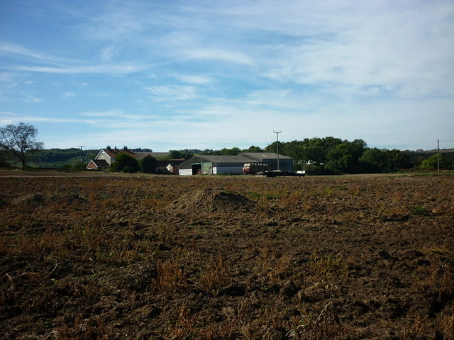
Fizgig Hole Plantation Images

Images are sourced within 2km of 54.122499/-0.6843616 or Grid Reference SE8670. Thanks to Geograph Open Source API. All images are credited.

Shelter from the rain Large trees made for a good shelter for lunch on the wettest day since March.
Shelter from the rain
Large trees made for a good shelter for lunch on the wettest day since March.
Cinquefoil Hill Looking east from the top of Cinquefoil Hill.
Cinquefoil Hill
Looking east from the top of Cinquefoil Hill.
Thorpe Bassett Wold Looking NE from the road.
Thorpe Bassett Wold
Looking NE from the road.
Minor road near Settrington
View towards Wold House from Yorkshire Wolds Way south of High Bellmanear
Wolds Way View Looking west from the Yorkshire Wolds Way.
Wolds Way View
Looking west from the Yorkshire Wolds Way.
Fizgig Hill Looking west down Fizgig Hill.
Fizgig Hill
Looking west down Fizgig Hill.
Shelter for the sheep Sheep were sheltering from the rain in this building.
Shelter for the sheep
Sheep were sheltering from the rain in this building.
Shower clouds approaching over Duggleby Wold
Rapeseed on the wold top Looking slightly east of north across a field of rapeseed on Beacon Wold towards the Vale of Pickering, where West Knapton mill can be seen in the distance.
Rapeseed on the wold top
Looking slightly east of north across a field of rapeseed on Beacon Wold towards the Vale of Pickering, where West Knapton mill can be seen in the distance.
At the edge of the Wolds Looking south along the edge of the Wolds from the hillside above Settrington.
At the edge of the Wolds
Looking south along the edge of the Wolds from the hillside above Settrington.
Barns  on  the  Centenary  Way This is also the Yorkshire Wolds Way
Barns on the Centenary Way
This is also the Yorkshire Wolds Way
From  Bassett  Brow  toward  Wintringham
From Bassett Brow toward Wintringham
Disused  Workings  below  Bassett  Brow Two large pits can be seen, the footpath goes down and round the back of the pit on the left.
Disused Workings below Bassett Brow
Two large pits can be seen, the footpath goes down and round the back of the pit on the left.
The Wolds Way at High Bellmanear
The Vale of Pickering from South Wold Plantation
Heading west below Bassett Brow
Peacock Farm Near Thorpe Bassett
Show me another place!

Fizgig Hole Plantation is located at Grid Ref: SE8670 (Lat: 54.122499, Lng: -0.6843616)

Division: East Riding

Administrative County: North Yorkshire

District: Ryedale

Police Authority: North Yorkshire

What 3 Words

///typhoon.september.replying. Near Rillington, North Yorkshire

Related Wikis

Norton Rural District (Yorkshire)

Norton was a rural district in the East Riding of Yorkshire from 1894 to 1974. It was based on the small town of Norton-on-Derwent, and was formed under...

Settrington

Settrington is a village and civil parish in North Yorkshire, England, about 3 miles (5 km) east of Malton. It was historically part of the East Riding...

Settrington railway station

Settrington railway station was a railway station on the Malton & Driffield Railway in North Yorkshire, England. It opened on 19 May 1853, and served the...

Thorpe Bassett

Thorpe Bassett is a village and civil parish in North Yorkshire, England. It is located between York and Scarborough in the North East of England. Surrounded...

Nearby Amenities

Located within 500m of 54.122499,-0.6843616
Passing Place
Lat/Long: 54.1260145/-0.6843782
Passing Place
Lat/Long: 54.1264593/-0.6855291
Passing Place
Lat/Long: 54.1247951/-0.679922
tumulus
Historic: archaeological_site
Source: NPE
Lat/Long: 54.1242517/-0.6852727
Passing Place
Lat/Long: 54.1256545/-0.6833625
Information: guidepost
Tourism: information
Lat/Long: 54.1191625/-0.6805356
Information: route_marker
Tourism: information
Lat/Long: 54.1190552/-0.6801043
The data included in this document is from www.openstreetmap.org. The data is made available under ODbL.

Have you been to Fizgig Hole Plantation?

Leave your review of Fizgig Hole Plantation below (or comments, questions and feedback).