Rings of Pines
Wood, Forest in Yorkshire Ryedale
England
Rings of Pines
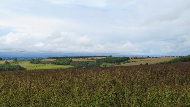
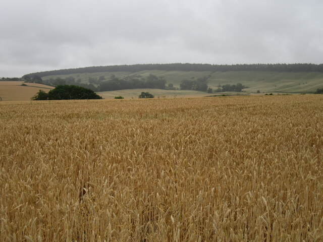
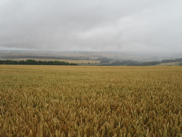
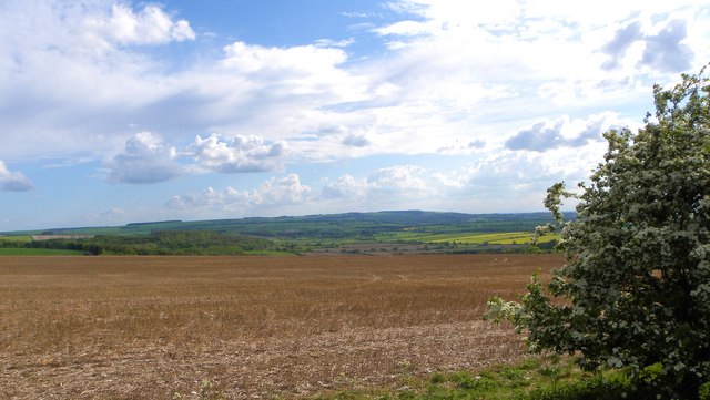
The Rings of Pines, located in Yorkshire, is a captivating woodland area renowned for its scenic beauty and unique characteristics. This enchanting forest, also known as Rings of Pines Wood, is situated in the heart of Yorkshire, England, and covers a vast expanse of land.
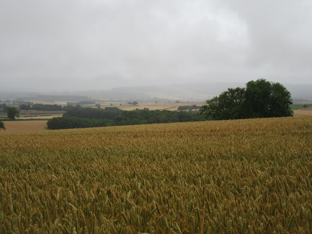
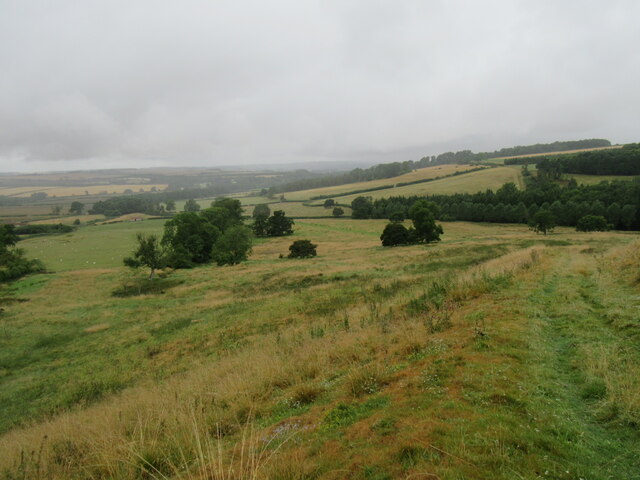
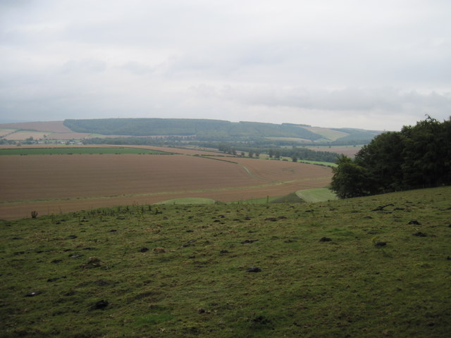
One of the most striking features of the Rings of Pines is the dense concentration of towering pine trees that dominate the landscape. These majestic trees create a tranquil and picturesque atmosphere, with their tall trunks and vibrant green needles providing a stunning contrast against the clear blue sky.
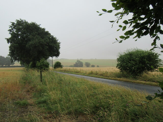
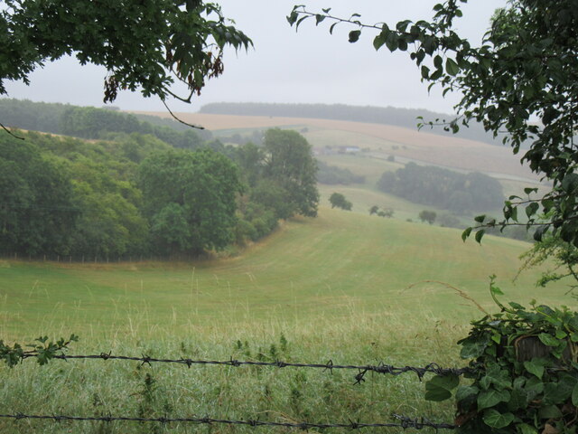
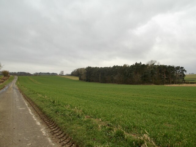
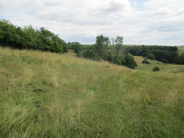
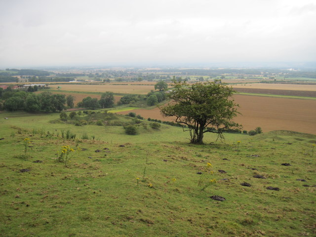
The forest is home to a diverse range of wildlife, including numerous bird species, small mammals, and insects. Birdwatchers flock to the area to catch glimpses of rare and migratory species that inhabit the woodland. The peaceful ambiance of the Rings of Pines makes it a perfect destination for nature enthusiasts and hikers, who can explore the numerous trails that wind through the forest.
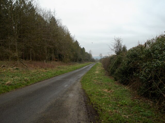
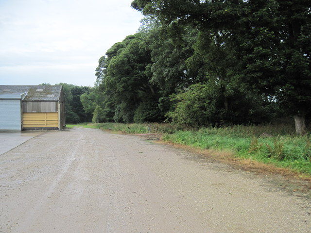
Visitors to the Rings of Pines can also enjoy various recreational activities, such as picnicking, photography, and nature walks. The forest is equipped with well-maintained paths that provide easy access to its different areas, ensuring a pleasant and accessible experience for all visitors.
Additionally, the Rings of Pines Wood is a designated nature reserve, further highlighting its ecological importance. Conservation efforts are in place to protect the delicate ecosystem and preserve the natural beauty of this woodland gem.
In conclusion, the Rings of Pines in Yorkshire is a captivating forest that offers breathtaking scenery, diverse wildlife, and a peaceful retreat for nature lovers. Its towering pine trees, well-maintained trails, and commitment to conservation make it a must-visit destination for those seeking a memorable and immersive forest experience.
If you have any feedback on the listing, please let us know in the comments section below.
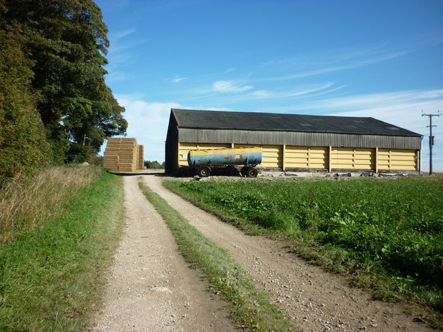
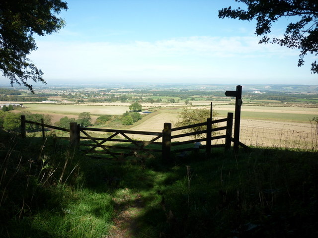
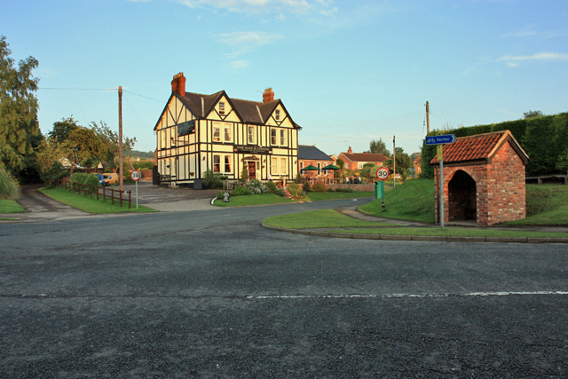
Rings of Pines Images
Images are sourced within 2km of 54.125965/-0.68484862 or Grid Reference SE8670. Thanks to Geograph Open Source API. All images are credited.
Rings of Pines is located at Grid Ref: SE8670 (Lat: 54.125965, Lng: -0.68484862)
Division: East Riding
Administrative County: North Yorkshire
District: Ryedale
Police Authority: North Yorkshire
What 3 Words
///unclaimed.scarred.slows. Near Rillington, North Yorkshire
Nearby Locations
Related Wikis

Norton Rural District (Yorkshire)
Norton was a rural district in the East Riding of Yorkshire from 1894 to 1974. It was based on the small town of Norton-on-Derwent, and was formed under...
Settrington
Settrington is a village and civil parish in North Yorkshire, England, about 3 miles (5 km) east of Malton. It was historically part of the East Riding...

Thorpe Bassett
Thorpe Bassett is a village and civil parish in North Yorkshire, England. It is located between York and Scarborough in the North East of England. Surrounded...
All Saints Church, Thorpe Bassett
All Saints Church is in the village of Thorpe Bassett, North Yorkshire, England. It is an active Anglican parish church in the deanery of Southern Ryedale...

Settrington railway station
Settrington railway station was a railway station on the Malton & Driffield Railway in North Yorkshire, England. It opened on 19 May 1853, and served the...
Scagglethorpe
Scagglethorpe is a village and civil parish in the Ryedale district of North Yorkshire, England. It is situated just south from the A64 road, 3 miles...

Wintringham, North Yorkshire
Wintringham is a village and civil parish in North Yorkshire, England. The village is near the A64 road and 6 miles (9.7 km) east of Malton. Two long...

St Peter's Church, Wintringham
St Peter's Church is a redundant Anglican church in the village of Wintringham, North Yorkshire, England (grid reference SE 887 731). It is recorded in...
Nearby Amenities
Located within 500m of 54.125965,-0.68484862Have you been to Rings of Pines?
Leave your review of Rings of Pines below (or comments, questions and feedback).