Tank Copse

Wood, Forest in Sussex Chichester

England

Tank Copse

New Lipchis Way I've just realised where the "New Lipchis Way" gets its name. It's a 39-mile walk from Liphook (Lip) to Chichester Harbour (chis). There's an excellent view to the east from the bank on the left of the path.
New Lipchis Way Credit: Ian Cunliffe

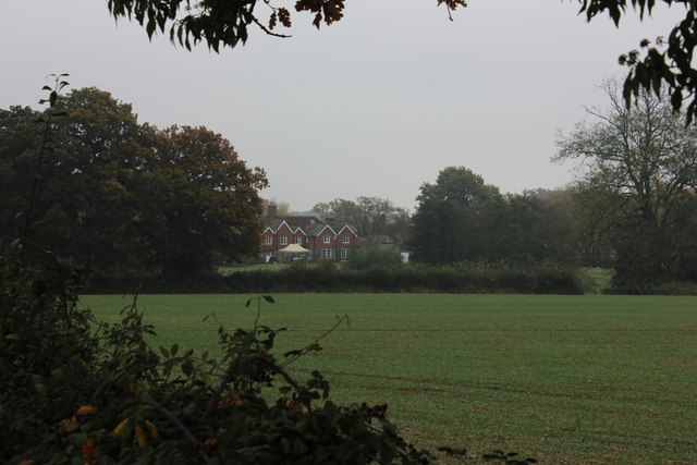
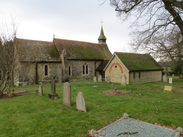
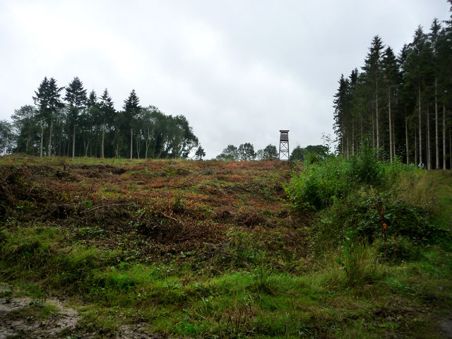
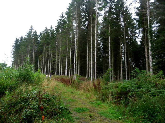
Tank Copse is a picturesque woodland located in Sussex, England. It is situated in the South Downs National Park, near the village of Lurgashall. This enchanting forest covers an area of approximately 30 acres and is known for its rich biodiversity and natural beauty.

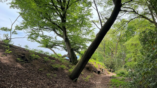
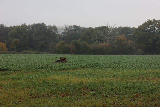
The copse is primarily composed of oak trees, along with a variety of other native species such as beech, birch, and holly. The dense canopy of the trees creates a cool and shaded environment, making it a perfect retreat on hot summer days. The forest floor is adorned with a carpet of bluebells and wildflowers during the spring, adding a touch of color to the surroundings.

One notable feature of Tank Copse is its historical significance. During World War I, the area was used as a training ground for tank crews, hence the name "Tank Copse." The remains of trenches and practice areas can still be seen throughout the woodland, serving as a reminder of its wartime past.

The copse is also a haven for wildlife. It provides a habitat for a variety of bird species, including woodpeckers, owls, and warblers. Mammals such as deer, foxes, and badgers can often be spotted among the trees, while butterflies and insects flutter around the wildflowers.

Tank Copse is a popular destination for nature enthusiasts, hikers, and photographers. Its tranquil atmosphere and natural splendor make it an ideal place for a peaceful walk or a picnic amidst nature's wonders. Whether one is interested in history, wildlife, or simply seeking a serene escape, Tank Copse offers a delightful experience in the heart of Sussex.

If you have any feedback on the listing, please let us know in the comments section below.
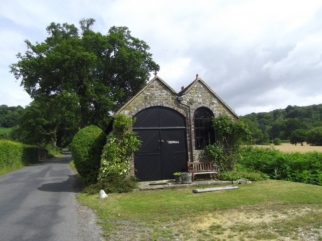
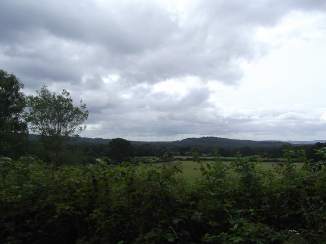
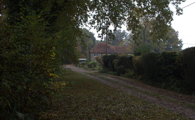
Tank Copse Images

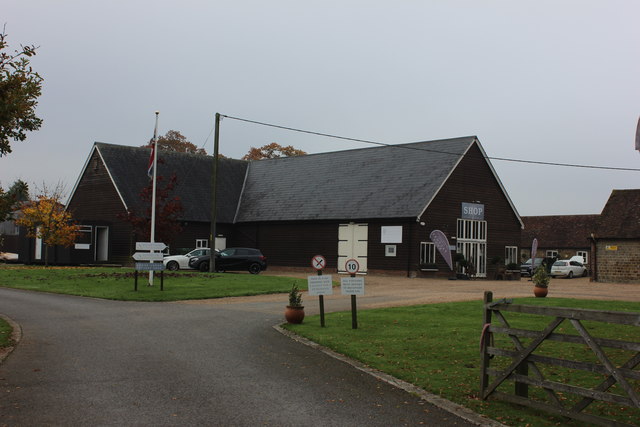
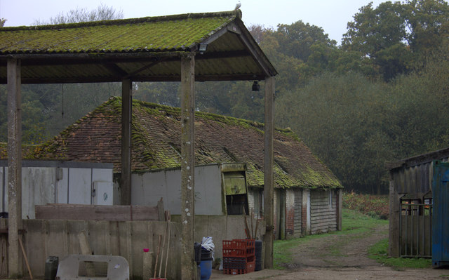
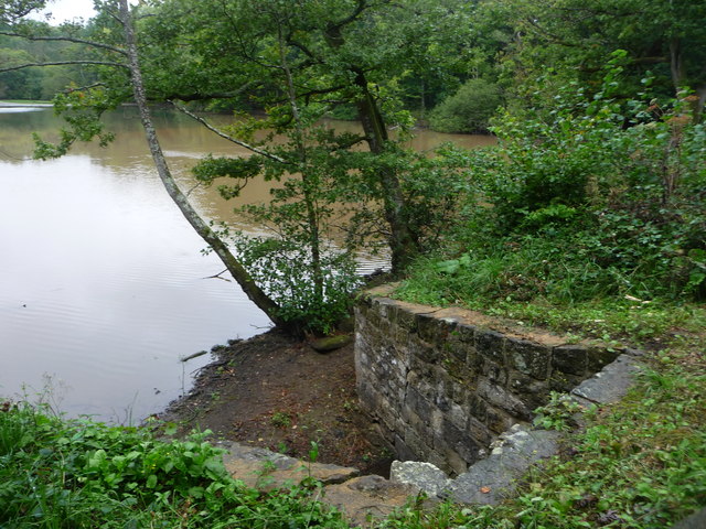
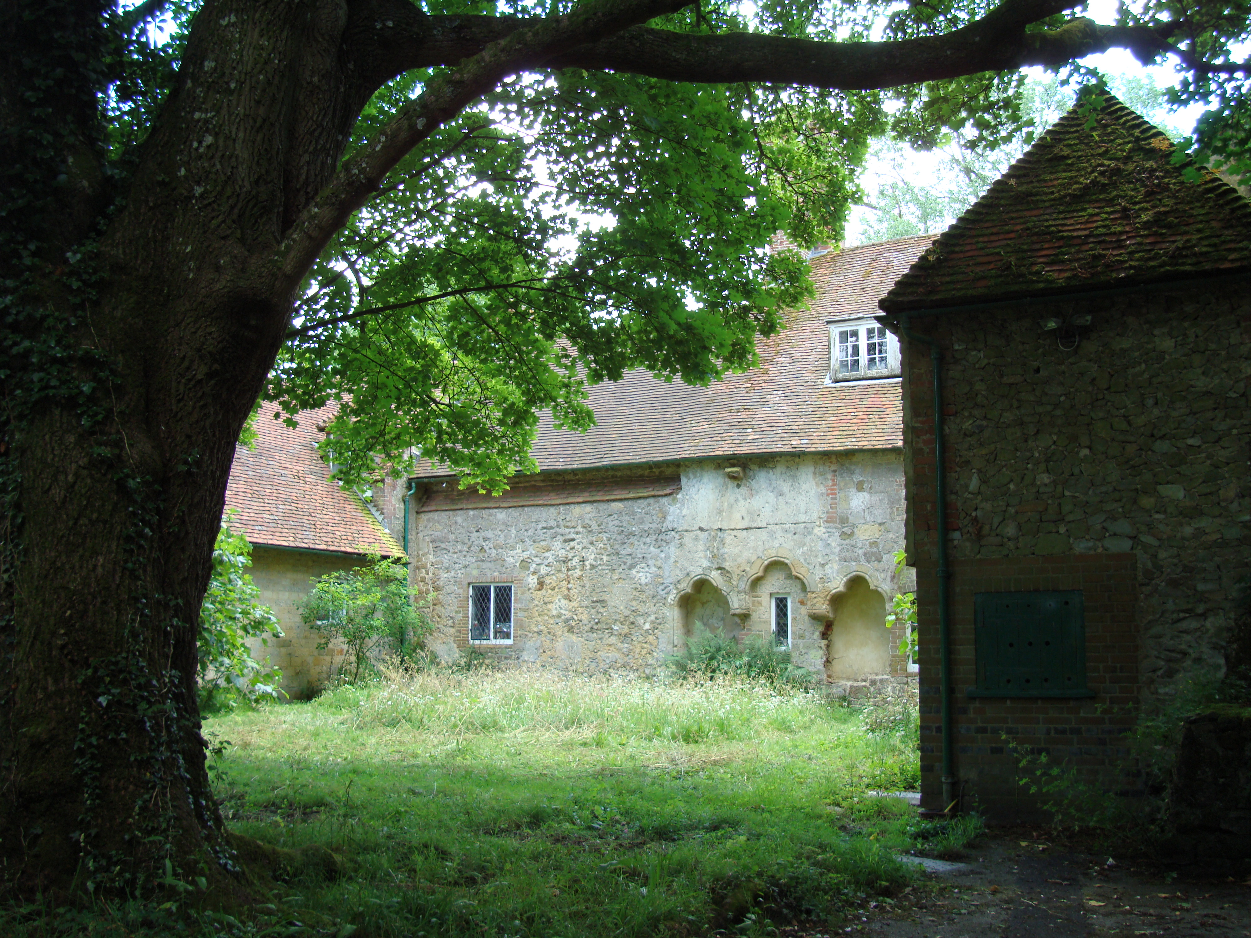
Images are sourced within 2km of 51.050873/-0.77404874 or Grid Reference SU8628. Thanks to Geograph Open Source API. All images are credited.

New Lipchis Way I've just realised where the "New Lipchis Way" gets its name. It's a 39-mile walk from Liphook (Lip) to Chichester Harbour (chis). There's an excellent view to the east from the bank on the left of the path.
New Lipchis Way
I've just realised where the "New Lipchis Way" gets its name. It's a 39-mile walk from Liphook (Lip) to Chichester Harbour (chis). There's an excellent view to the east from the bank on the left of the path.
Pylon near the bridleway on the south side of Iron Hill
Trees and sunlight - NE of Hillands Plantations
Leaves and sunlight - Stanley Common
Conifers near Iron Hill
Interesting outbuilding Better than my 8 x 6 garden shed, this lovely looking summer house/garage caught my attention near Milland.
Interesting outbuilding
Better than my 8 x 6 garden shed, this lovely looking summer house/garage caught my attention near Milland.
Titty Hill Looking south from Home Farm, Milland.
Titty Hill
Looking south from Home Farm, Milland.
Elmer's Marsh New Lipchis Way footpath joins the road here at Elmer's Marsh
Elmer's Marsh
New Lipchis Way footpath joins the road here at Elmer's Marsh
Lower Lodge Farm Looking across the field towards Lower Lodge Farm from the minor road going towards Fernhurst
Lower Lodge Farm
Looking across the field towards Lower Lodge Farm from the minor road going towards Fernhurst
Flower Lodge candle factory There is also a candle shop here.  It appears to be part of Lower Lodge farm
Flower Lodge candle factory
There is also a candle shop here. It appears to be part of Lower Lodge farm
Tree stump in the field The field opposite Lower Lodge Farm near to the Linchmere Road turn off.
Tree stump in the field
The field opposite Lower Lodge Farm near to the Linchmere Road turn off.
Farm buildings near Shulbrede priory Somewhat dilapidated
Farm buildings near Shulbrede priory
Somewhat dilapidated
The Church of St Luke serving Linch with Iping Marsh Viewed from the north-east.
The Church of St Luke serving Linch with Iping Marsh
Viewed from the north-east.
Ordnance Survey Cut Mark This mark can be found on the wall of St Luke's Church at Woodmansgreen.
For more detail see : <span class="nowrap"><a title="http://www.bench-marks.org.uk/bm83714" rel="nofollow ugc noopener" href="http://www.bench-marks.org.uk/bm83714">Link</a><img style="margin-left:2px;" alt="External link" title="External link - shift click to open in new window" src="https://s1.geograph.org.uk/img/external.png" width="10" height="10"/></span>
Ordnance Survey Cut Mark
This mark can be found on the wall of St Luke's Church at Woodmansgreen. For more detail see : LinkExternal link
Outfall from Furnace pond
Watch tower south of furnace pond
Track south of furnace pond
Sluice outlet from furnace pond
Show me another place!

Tank Copse is located at Grid Ref: SU8628 (Lat: 51.050873, Lng: -0.77404874)

Administrative County: West Sussex

District: Chichester

Police Authority: Sussex

What 3 Words

///latter.shall.engulfing. Near Liphook, Hampshire

Related Wikis

Hollycombe Steam Collection

The Hollycombe Steam Collection is a collection of steam-powered vehicles, amusement rides, and attractions in South East England. It is based in West...

Linch

Linch is an Anglican parish, and a loose collection of hamlets that make up the civil parish of the same name in the Chichester District of West Sussex...

Western Weald

The western Weald is an area of undulating countryside in Hampshire and West Sussex containing a mixture of woodland and heathland areas. It lies to the...

Shulbrede Priory

Shulbrede Priory is a former medieval monastic house in West Sussex, England; it became the home of the Ponsonby family, including the first Lord Ponsonby...

Lynchmere Commons

Lynchmere Commons is a 122-hectare (300-acre) Local Nature Reserve in Lynchmere in West Sussex. It is owned and managed by the Lynchmere Society.This...

Linchmere

Linchmere, also spelled Lynchmere, is a village and a civil parish, the northernmost parish in the Chichester district of West Sussex, England. It is...

Milland

Milland is a village and civil parish in the Chichester district of West Sussex, England. It is situated north of the A272 road on the border with Hampshire...

Liphook railway station

Liphook railway station serves the large village of Liphook, in Hampshire, England. It is on the Portsmouth Direct Line, 46 miles 67 chains (75.4 km) down...

Nearby Amenities

Located within 500m of 51.050873,-0.77404874
Tourism: viewpoint
Lat/Long: 51.0535384/-0.7760407
Tourism: viewpoint
Lat/Long: 51.0536172/-0.7772658
Power: pole
Lat/Long: 51.0497411/-0.7713363
Power: pole
Lat/Long: 51.0515891/-0.7809225
Power: pole
Lat/Long: 51.050795/-0.7760006
Power: pole
Lat/Long: 51.0502706/-0.7728276
Power: pole
Lat/Long: 51.0511727/-0.7798523
Power: pole
Lat/Long: 51.0501829/-0.7730448
The data included in this document is from www.openstreetmap.org. The data is made available under ODbL.

Have you been to Tank Copse?

Leave your review of Tank Copse below (or comments, questions and feedback).