Elmers Marsh
Settlement in Sussex Chichester
England
Elmers Marsh
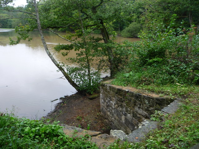
Elmers Marsh is a beautiful and diverse wetland located in Sussex, England. Covering an extensive area, it is renowned for its rich ecological significance and stunning natural beauty. The marsh is situated in close proximity to the village of Elmers and is a popular destination for nature enthusiasts, researchers, and visitors seeking tranquility amidst nature.
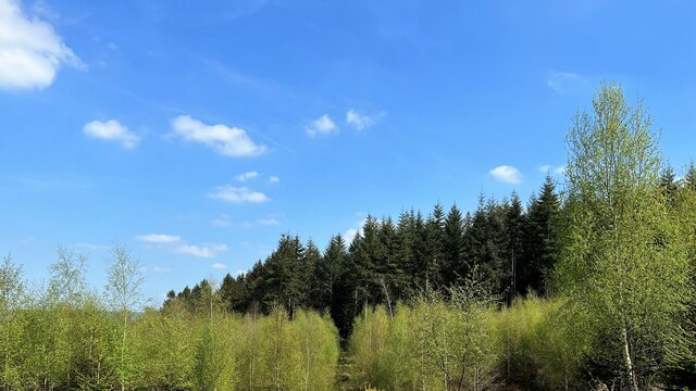
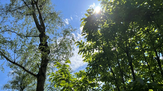
The marsh is characterized by its diverse flora and fauna, making it a haven for wildlife. The area showcases a variety of wetland habitats, including reed beds, open water pools, and marshy grasslands. These habitats attract a plethora of bird species, making it a birdwatcher's paradise. Visitors can observe the graceful flight of herons, the mesmerizing courtship displays of lapwings, and the charming songs of warblers.
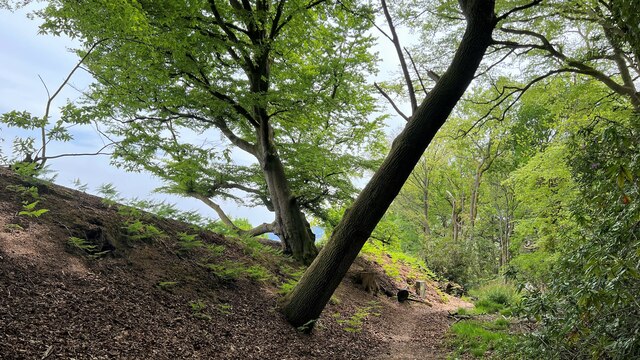
The marshland is crisscrossed by a network of walking trails, enabling visitors to explore its natural wonders at their own pace. The trails offer breathtaking views of the surrounding countryside and provide opportunities for close encounters with wildlife. Additionally, there are several bird hides strategically placed for optimal viewing and photography.
Elmers Marsh is not only a recreational hub but also serves an important ecological purpose. The wetland acts as a natural filter, purifying water before it drains into nearby rivers. It also provides a habitat for a wide range of plant and animal species, contributing to the overall biodiversity of the region.
Overall, Elmers Marsh is a captivating wetland that offers a unique blend of natural beauty, wildlife diversity, and ecological significance. Whether one seeks solace in nature or wishes to explore the wonders of Sussex's wetlands, Elmers Marsh is a must-visit destination.
If you have any feedback on the listing, please let us know in the comments section below.
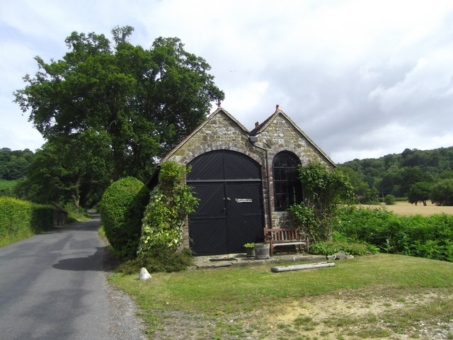
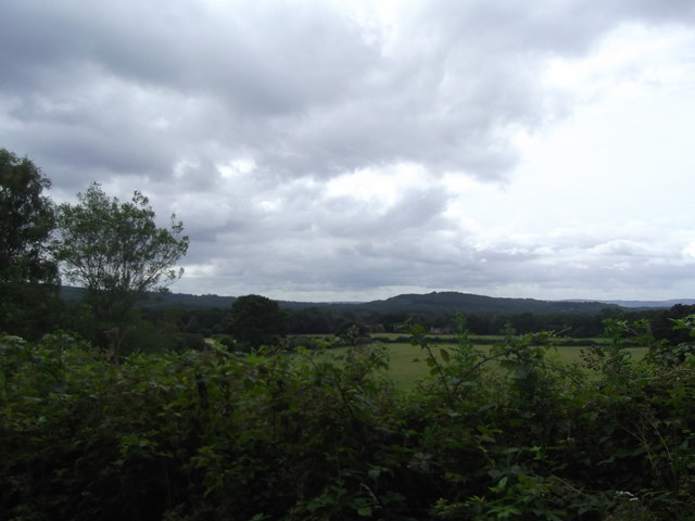
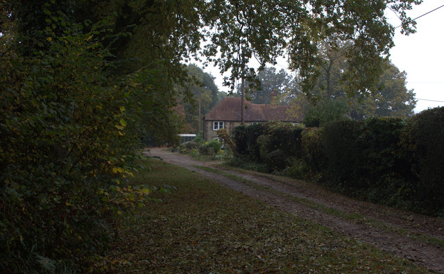
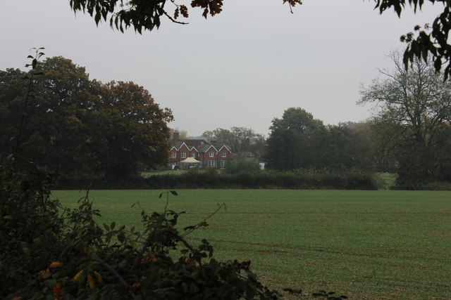
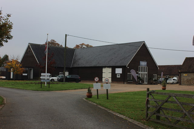
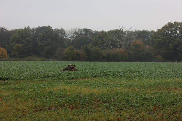
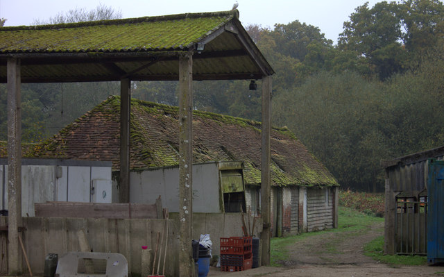
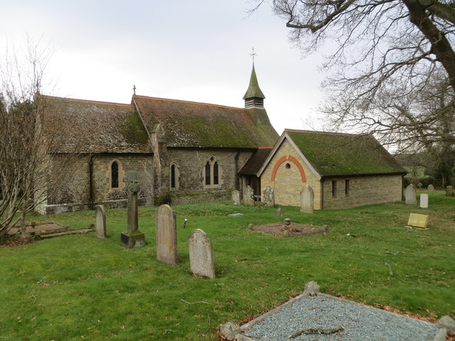
Elmers Marsh Images
Images are sourced within 2km of 51.048254/-0.769475 or Grid Reference SU8628. Thanks to Geograph Open Source API. All images are credited.

Elmers Marsh is located at Grid Ref: SU8628 (Lat: 51.048254, Lng: -0.769475)
Administrative County: West Sussex
District: Chichester
Police Authority: Sussex
What 3 Words
///escalated.weedy.tube. Near Fernhurst, West Sussex
Nearby Locations
Related Wikis

Linch
Linch is an Anglican parish, and a loose collection of hamlets that make up the civil parish of the same name in the Chichester District of West Sussex...

Hollycombe Steam Collection
The Hollycombe Steam Collection is a collection of steam-powered vehicles, amusement rides, and attractions in South East England. It is based in West...

Western Weald
The western Weald is an area of undulating countryside in Hampshire and West Sussex containing a mixture of woodland and heathland areas. It lies to the...
Shulbrede Priory
Shulbrede Priory is a former medieval monastic house in West Sussex, England; it became the home of the Ponsonby family, including the first Lord Ponsonby...
Linchmere
Linchmere, also spelled Lynchmere, is a village and a civil parish, the northernmost parish in the Chichester district of West Sussex, England. It is...

Lynchmere Commons
Lynchmere Commons is a 122-hectare (300-acre) Local Nature Reserve in Lynchmere in West Sussex. It is owned and managed by the Lynchmere Society.This...

Perry Copse Outcrop
Perry Copse Outcrop is a 0.2-hectare (0.49-acre) geological Site of Special Scientific Interest in Fernhurst in West Sussex. It is a Geological Conservation...

Titty Hill
Titty Hill is a hamlet in the civil parish of Milland in the Chichester district of West Sussex, England. It is close to a Roman way station or mansio...
Nearby Amenities
Located within 500m of 51.048254,-0.769475Have you been to Elmers Marsh?
Leave your review of Elmers Marsh below (or comments, questions and feedback).