Pit Copse

Wood, Forest in Sussex Chichester

England

Pit Copse

Woolbeding Common - the western slopes of Telegraph Hill
Woolbeding Common - the western slopes of Telegraph Hill Credit: Ian Cunliffe

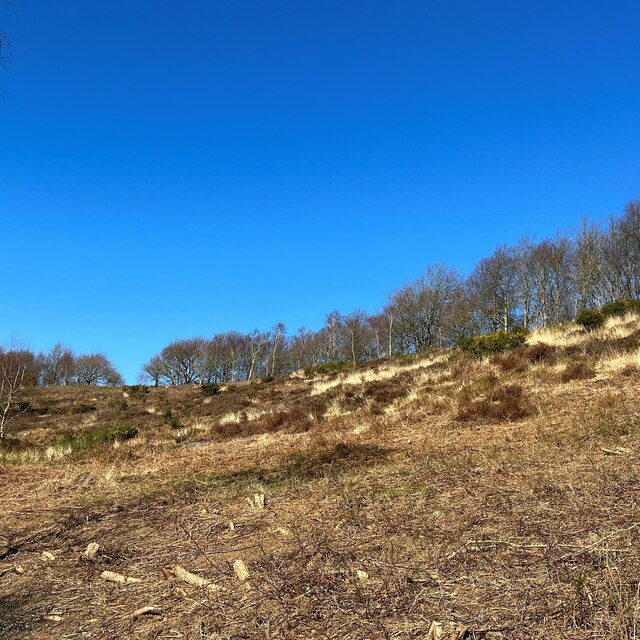
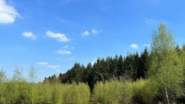
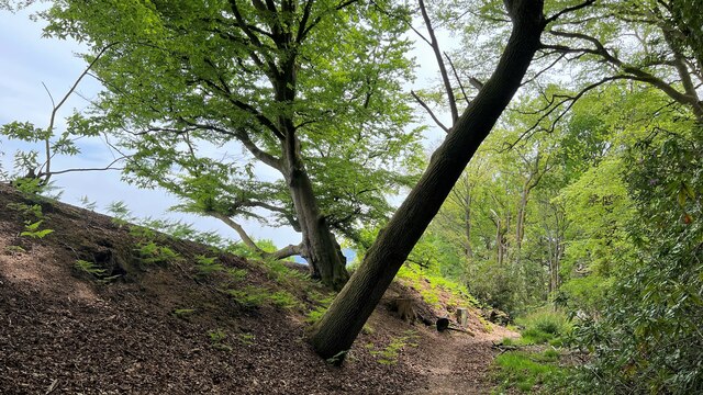
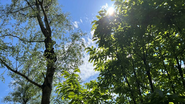
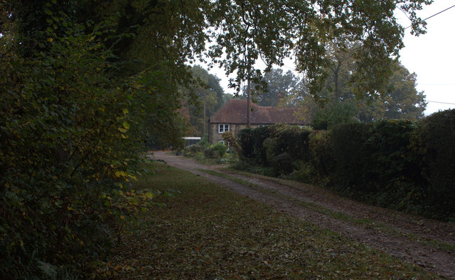
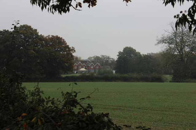
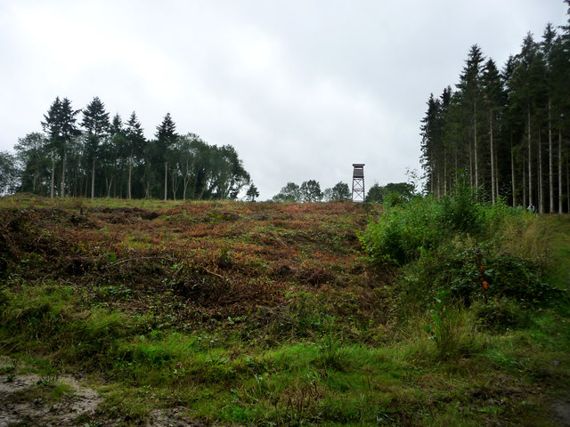
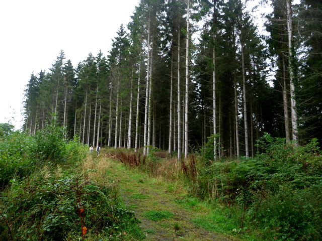
Pit Copse is a picturesque woodland located in the county of Sussex, England. Situated near the town of Midhurst, this forested area covers an expanse of approximately 100 acres. The copse is known for its dense and diverse vegetation, consisting of a variety of tree species, including oak, beech, birch, and ash.

The woodland is a haven for wildlife, providing a habitat for numerous animal species. It is home to a variety of birds, such as woodpeckers, owls, and thrushes, which can be heard singing their melodious tunes throughout the day. Additionally, the copse is a sanctuary for various mammals, including deer, foxes, badgers, and rabbits, which can often be spotted roaming among the trees.

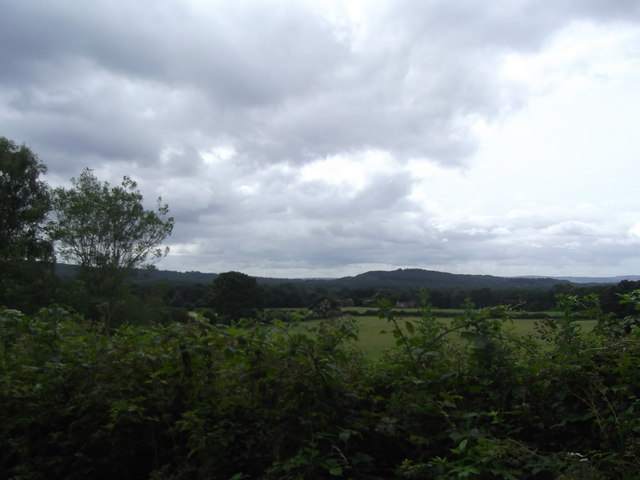
Pit Copse is a popular destination for nature enthusiasts and hikers due to its tranquil surroundings and well-maintained footpaths. The forest offers a range of walking trails that wind through the trees, allowing visitors to explore its natural beauty at their own pace. The peaceful atmosphere and stunning scenery make it an ideal location for those seeking a peaceful retreat from the hustle and bustle of daily life.

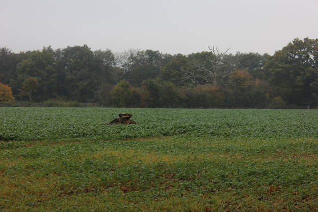
The copse is also a valuable ecological site, as it supports a rich diversity of plant life, including wildflowers, ferns, and mosses. These plants contribute to the overall health of the woodland ecosystem by providing food and shelter for various insects and small animals.

Overall, Pit Copse is a captivating woodland in Sussex, offering a serene escape into nature, teeming with wildlife and beautiful flora.

If you have any feedback on the listing, please let us know in the comments section below.

Pit Copse Images

Images are sourced within 2km of 51.044936/-0.77306421 or Grid Reference SU8628. Thanks to Geograph Open Source API. All images are credited.

Woolbeding Common - the western slopes of Telegraph Hill
House on Linch Road This striking house has an old-style telephone box painted green to match its exterior woodwork. Other pics in the grid square suggest it was previously a shop and a post office. Perhaps it still is? I don't think so, but I didn't check. This would account for the phone box anyway.
House on Linch Road
This striking house has an old-style telephone box painted green to match its exterior woodwork. Other pics in the grid square suggest it was previously a shop and a post office. Perhaps it still is? I don't think so, but I didn't check. This would account for the phone box anyway.
Stonework on barn at Lower North Park Farm
Woodland on the NE side of Telegraph Hill
New Lipchis Way I've just realised where the "New Lipchis Way" gets its name. It's a 39-mile walk from Liphook (Lip) to Chichester Harbour (chis). There's an excellent view to the east from the bank on the left of the path.
New Lipchis Way
I've just realised where the "New Lipchis Way" gets its name. It's a 39-mile walk from Liphook (Lip) to Chichester Harbour (chis). There's an excellent view to the east from the bank on the left of the path.
Pylon near the bridleway on the south side of Iron Hill
Trees and sunlight - NE of Hillands Plantations
Interesting outbuilding Better than my 8 x 6 garden shed, this lovely looking summer house/garage caught my attention near Milland.
Interesting outbuilding
Better than my 8 x 6 garden shed, this lovely looking summer house/garage caught my attention near Milland.
Titty Hill Looking south from Home Farm, Milland.
Titty Hill
Looking south from Home Farm, Milland.
Elmer's Marsh New Lipchis Way footpath joins the road here at Elmer's Marsh
Elmer's Marsh
New Lipchis Way footpath joins the road here at Elmer's Marsh
Lower Lodge Farm Looking across the field towards Lower Lodge Farm from the minor road going towards Fernhurst
Lower Lodge Farm
Looking across the field towards Lower Lodge Farm from the minor road going towards Fernhurst
Flower Lodge candle factory There is also a candle shop here.  It appears to be part of Lower Lodge farm
Flower Lodge candle factory
There is also a candle shop here. It appears to be part of Lower Lodge farm
Tree stump in the field The field opposite Lower Lodge Farm near to the Linchmere Road turn off.
Tree stump in the field
The field opposite Lower Lodge Farm near to the Linchmere Road turn off.
The Church of St Luke serving Linch with Iping Marsh Viewed from the north-east.
The Church of St Luke serving Linch with Iping Marsh
Viewed from the north-east.
Ordnance Survey Cut Mark This mark can be found on the wall of St Luke's Church at Woodmansgreen.
For more detail see : <span class="nowrap"><a title="http://www.bench-marks.org.uk/bm83714" rel="nofollow ugc noopener" href="http://www.bench-marks.org.uk/bm83714">Link</a><img style="margin-left:2px;" alt="External link" title="External link - shift click to open in new window" src="https://s1.geograph.org.uk/img/external.png" width="10" height="10"/></span>
Ordnance Survey Cut Mark
This mark can be found on the wall of St Luke's Church at Woodmansgreen. For more detail see : LinkExternal link
Outfall from Furnace pond
Watch tower south of furnace pond
Track south of furnace pond
Show me another place!

Pit Copse is located at Grid Ref: SU8628 (Lat: 51.044936, Lng: -0.77306421)

Administrative County: West Sussex

District: Chichester

Police Authority: Sussex

What 3 Words

///paddlers.broadens.knots. Near Fernhurst, West Sussex

Related Wikis

Linch

Linch is an Anglican parish, and a loose collection of hamlets that make up the civil parish of the same name in the Chichester District of West Sussex...

Hollycombe Steam Collection

The Hollycombe Steam Collection is a collection of steam-powered vehicles, amusement rides, and attractions in South East England. It is based in West...

Western Weald

The western Weald is an area of undulating countryside in Hampshire and West Sussex containing a mixture of woodland and heathland areas. It lies to the...

Titty Hill

Titty Hill is a hamlet in the civil parish of Milland in the Chichester district of West Sussex, England. It is close to a Roman way station or mansio...
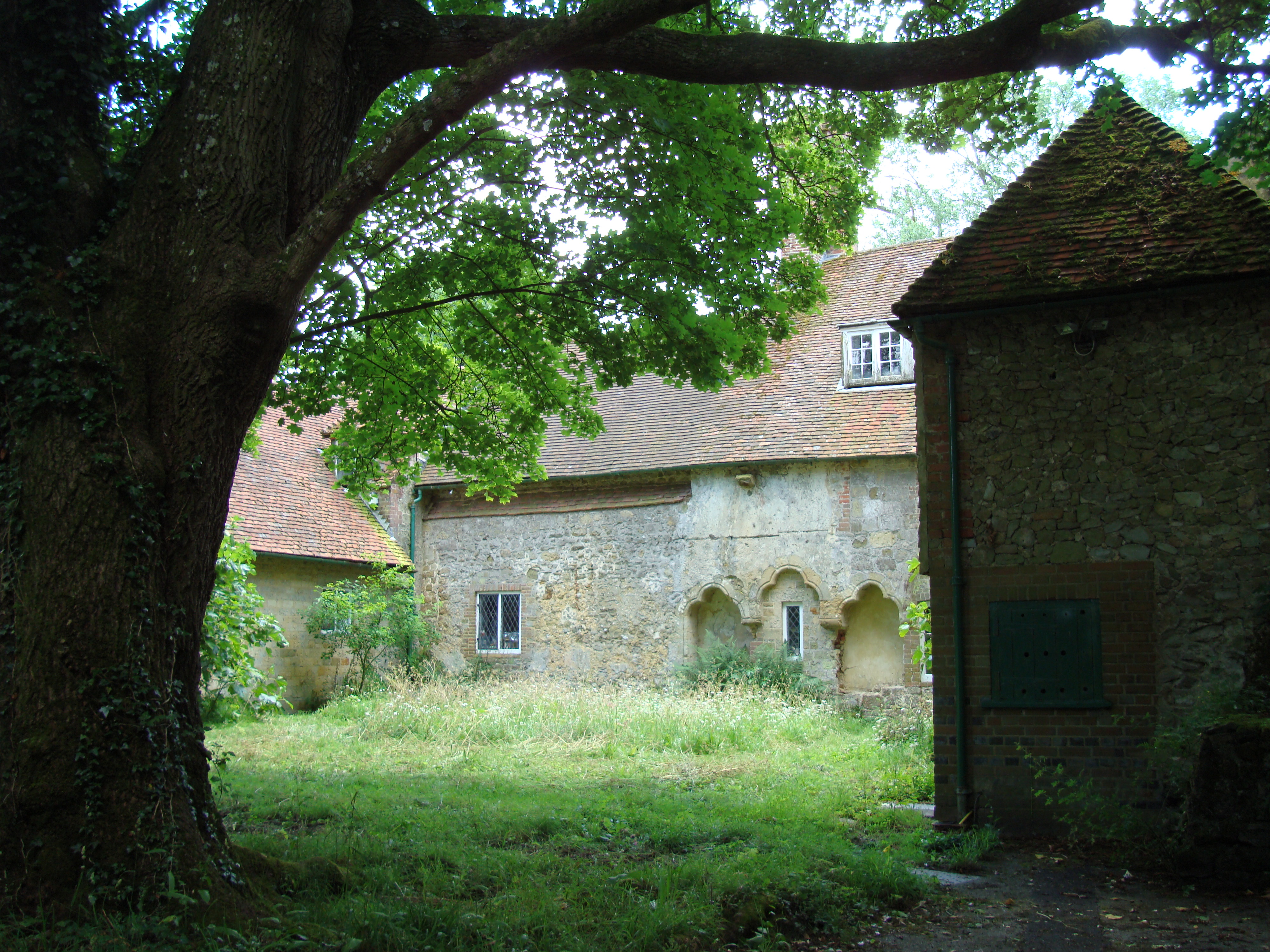
Shulbrede Priory

Shulbrede Priory is a former medieval monastic house in West Sussex, England; it became the home of the Ponsonby family, including the first Lord Ponsonby...

Milland

Milland is a village and civil parish in the Chichester district of West Sussex, England. It is situated north of the A272 road on the border with Hampshire...

Linchmere

Linchmere, also spelled Lynchmere, is a village and a civil parish, the northernmost parish in the Chichester district of West Sussex, England. It is...

Lynchmere Commons

Lynchmere Commons is a 122-hectare (300-acre) Local Nature Reserve in Lynchmere in West Sussex. It is owned and managed by the Lynchmere Society.This...

Nearby Amenities

Located within 500m of 51.044936,-0.77306421
Linch
Place: hamlet
Lat/Long: 51.0407/-0.771504
St Lukes Church
Naptan AtcoCode: 4400MO0110
Naptan Bearing: NW
Naptan BusStopType: CUS
Naptan CommonName: St Lukes Church
Naptan Indicator: o/s church
Naptan Landmark: Church
Naptan NaptanCode: wsxdgwgp
Naptan Street: Linch Road
Naptan Verified: no
Source: naptan_import
Lat/Long: 51.0406164/-0.7715828
St Lukes Church
Naptan AtcoCode: 4400MO0332
Naptan Bearing: SE
Naptan BusStopType: CUS
Naptan CommonName: St Lukes Church
Naptan Indicator: St Lukes Church opp.
Naptan Landmark: Woodsmansgreen
Naptan NaptanCode: wsxdjmtp
Naptan Street: Linch Road
Naptan Verified: no
Source: naptan_import
Lat/Long: 51.0406499/-0.7713537
Bus Stop
Memorial
Bus: yes
Naptan AtcoCode: 4400MO0335
Naptan Bearing: W
Naptan BusStopType: CUS
Naptan CommonName: Memorial
Naptan Indicator: adj Memorial
Naptan Landmark: Memorial
Naptan NaptanCode: wsxdjmwd
Naptan Street: Fernhurst Road
Naptan Verified: no
Public Transport: platform
Source: naptan_import
Lat/Long: 51.0433181/-0.7745213
Bus Stop
Memorial
Bus: yes
Naptan AtcoCode: 4400MO0336
Naptan Bearing: E
Naptan BusStopType: CUS
Naptan CommonName: Memorial
Naptan Indicator: opp Memorial
Naptan Landmark: Memorial
Naptan NaptanCode: wsxdjmwg
Naptan Street: Fernhurst Road
Naptan Verified: no
Public Transport: platform
Source: naptan_import
Lat/Long: 51.0433678/-0.7749764
Bench
Lat/Long: 51.0405629/-0.7719909
Barrier: stile
Lat/Long: 51.0406439/-0.772548
Bench
Lat/Long: 51.0407601/-0.7723541
Post Box
Post Box Type: lamp
Ref: GU30 28
Royal Cypher: EIIR
Royal Cypher Wikidata: Q33102113
Lat/Long: 51.043319/-0.7750227
Power: pole
Lat/Long: 51.0475676/-0.769161
Power: pole
Lat/Long: 51.0475491/-0.7675034
Historic: memorial
Memorial: war_memorial
Lat/Long: 51.043253/-0.7745572
The data included in this document is from www.openstreetmap.org. The data is made available under ODbL.

Have you been to Pit Copse?

Leave your review of Pit Copse below (or comments, questions and feedback).