Fir Grounds
Wood, Forest in Northamptonshire
England
Fir Grounds

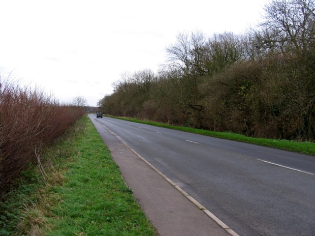
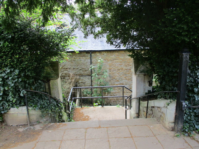
Fir Grounds, located in Northamptonshire, is a picturesque woodland area known for its dense population of fir trees. It is a popular destination for nature enthusiasts and outdoor adventurers, offering a serene and tranquil setting for visitors to explore.
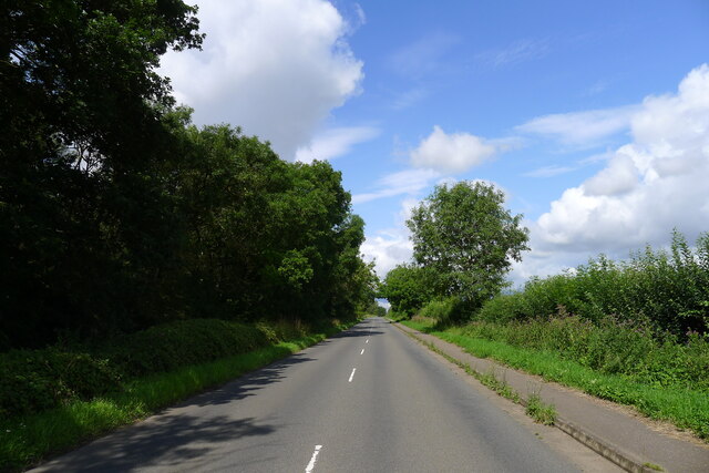
With its sprawling landscape, Fir Grounds provides ample opportunities for hiking, walking, and biking. The well-maintained trails wind through the forest, allowing visitors to immerse themselves in the beauty of nature while enjoying the fresh air and peaceful surroundings. The dense growth of fir trees creates a unique and enchanting atmosphere, making it a favorite spot for photographers and artists seeking inspiration.
The woodland is home to a diverse range of wildlife, including various bird species, deer, and small mammals. Birdwatchers will delight in the chance to spot rare and migratory birds among the branches of the towering firs. The forest floor is also teeming with flora, with wildflowers and ferns adding pops of color and texture to the landscape.
Fir Grounds is a well-maintained and accessible area, with designated picnic spots and benches scattered throughout the forest. This makes it an ideal location for families and groups to gather and enjoy a day out in nature. The peaceful ambiance also lends itself to meditation and mindfulness, offering a place of solace and rejuvenation for those seeking a break from the hustle and bustle of daily life.
In summary, Fir Grounds in Northamptonshire is a captivating woodland area, featuring dense fir trees, diverse wildlife, and well-maintained trails. It provides a serene and tranquil environment for outdoor enthusiasts to explore and appreciate the beauty of nature.
If you have any feedback on the listing, please let us know in the comments section below.
Fir Grounds Images
Images are sourced within 2km of 52.512244/-0.73383582 or Grid Reference SP8691. Thanks to Geograph Open Source API. All images are credited.


Fir Grounds is located at Grid Ref: SP8691 (Lat: 52.512244, Lng: -0.73383582)
Unitary Authority: North Northamptonshire
Police Authority: Northamptonshire
What 3 Words
///recoup.swing.thumb. Near Cottingham, Northamptonshire
Nearby Locations
Related Wikis

Rockingham, Northamptonshire
Rockingham is a village and civil parish in North Northamptonshire, England. Close to the border of Leicestershire and Rutland, the village is largely...

Rockingham Castle
Rockingham Castle is a former royal castle and hunting lodge in Rockingham Forest, approximately two miles north from the town centre of Corby, Northamptonshire...

Corby Town F.C.
Corby Town Football Club is a football club based in Corby, Northamptonshire, England. They are currently members of the Northern Premier League Division...
Lodge Park Academy
Lodge Park Academy is a coeducational secondary school and sixth form with academy status, located in Corby, Northamptonshire, England. == Background... ==
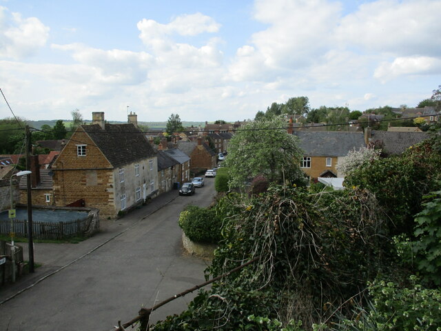
Cottingham, Northamptonshire
Cottingham is a village and civil parish in North Northamptonshire in the English Midlands that can trace its history back to Roman times. Cotingeham is...
Rockingham railway station (Leicestershire)
Rockingham railway station was a railway station in Leicestershire, England just south of Caldecott, Rutland. Despite being in Leicestershire and closest...

Bringhurst
Bringhurst is a small village and civil parish in the Harborough district of south-east Leicestershire, England, bordering Northamptonshire and Rutland...

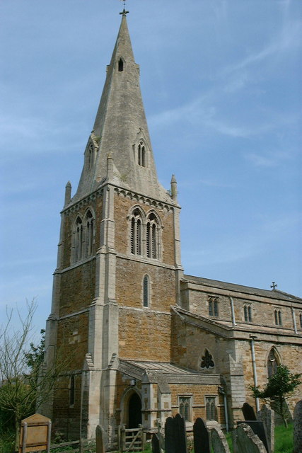
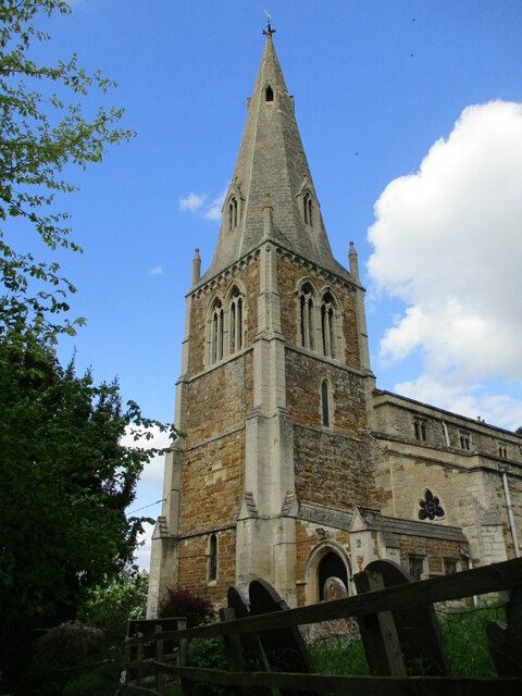
St Nicholas' Church, Bringhurst
St Nicholas' Church is a church in Bringhurst, Leicestershire. It is a Grade II* listed building. == History == The church is made up of a chancel, tower...
Have you been to Fir Grounds?
Leave your review of Fir Grounds below (or comments, questions and feedback).