Hazelwood Copse
Wood, Forest in Berkshire
England
Hazelwood Copse

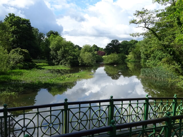
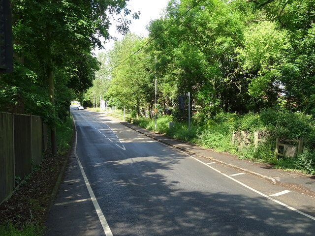
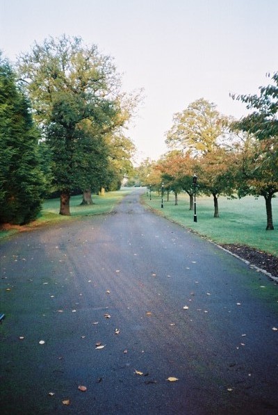
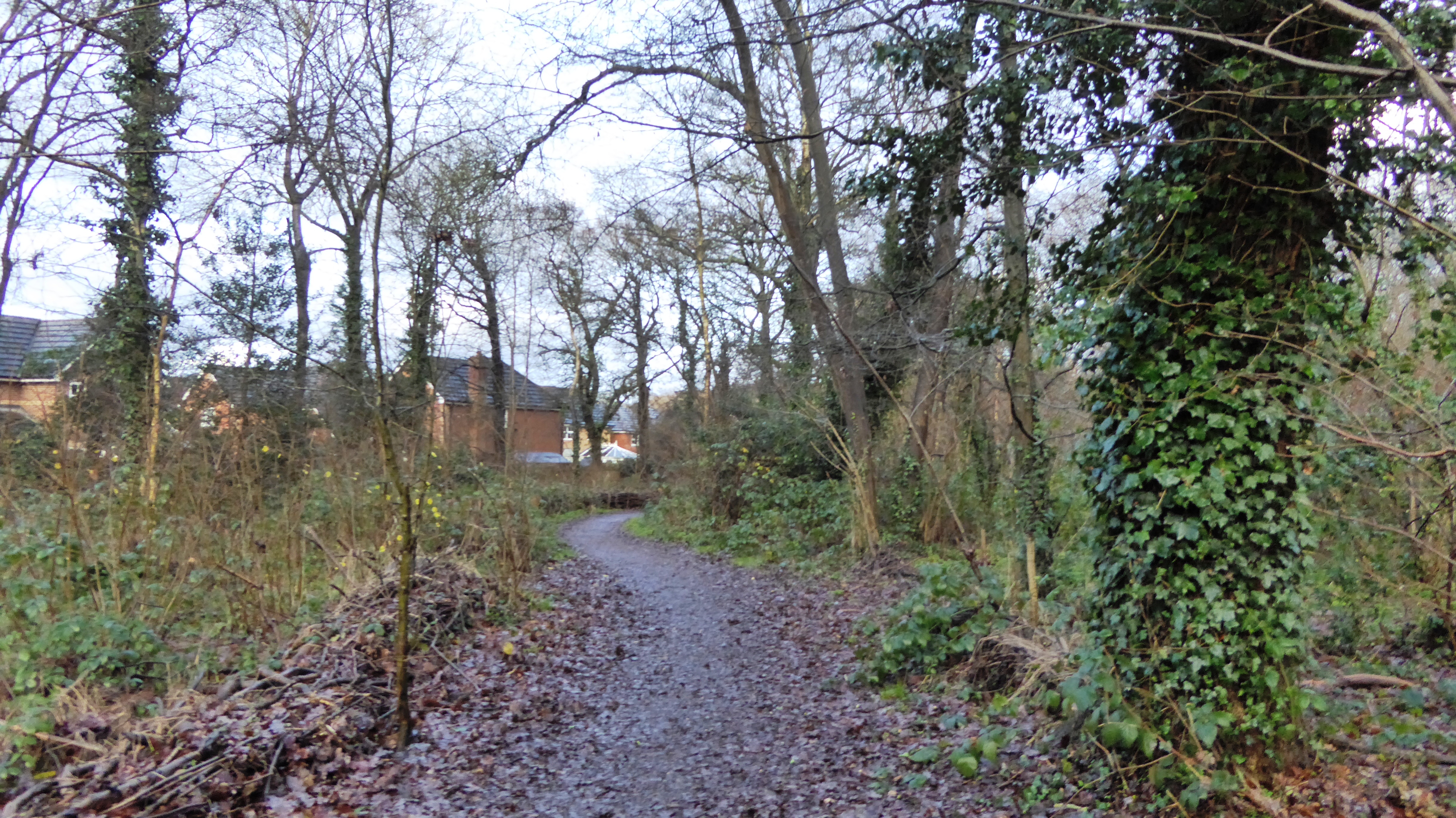
Hazelwood Copse is a picturesque woodland located in Berkshire, England. Situated near the village of Hazelwood, the copse covers an area of approximately 50 acres and is known for its diverse range of flora and fauna.
The copse is dominated by hazel trees, from which it derives its name. These trees create a dense canopy that provides shade and shelter for the various plant and animal species that inhabit the area. Other tree species found in Hazelwood Copse include oak, beech, and birch, adding to the overall biodiversity of the woodland.
The forest floor of Hazelwood Copse is carpeted with a rich variety of wildflowers, including bluebells, primroses, and wood anemones, which create a colorful display during the spring months. The copse also boasts a thriving population of ferns, mosses, and fungi, adding to its ecological significance.
The woodland is home to a diverse range of wildlife. Birdwatchers can spot various species of birds, such as woodpeckers, owls, and finches, while small mammals like squirrels and rabbits can be frequently seen darting among the trees. The copse also provides a habitat for a variety of insects, including butterflies and beetles.
Hazelwood Copse is a popular destination for nature enthusiasts and offers several walking trails that allow visitors to explore its beauty. It provides a tranquil and peaceful setting, making it an ideal location for picnics and leisurely walks.
If you have any feedback on the listing, please let us know in the comments section below.
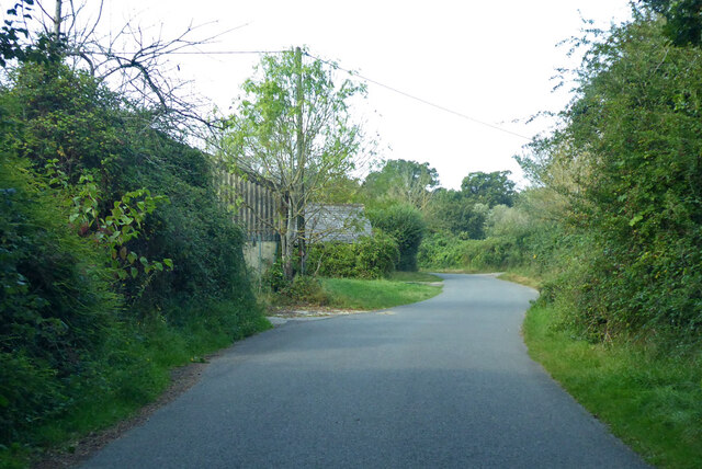
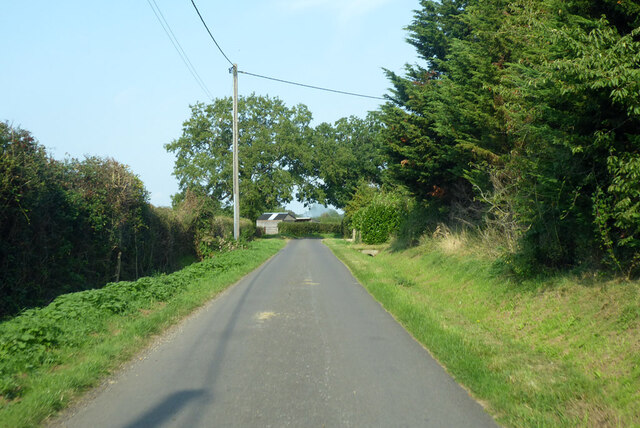
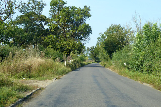
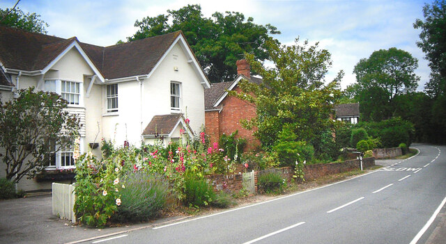
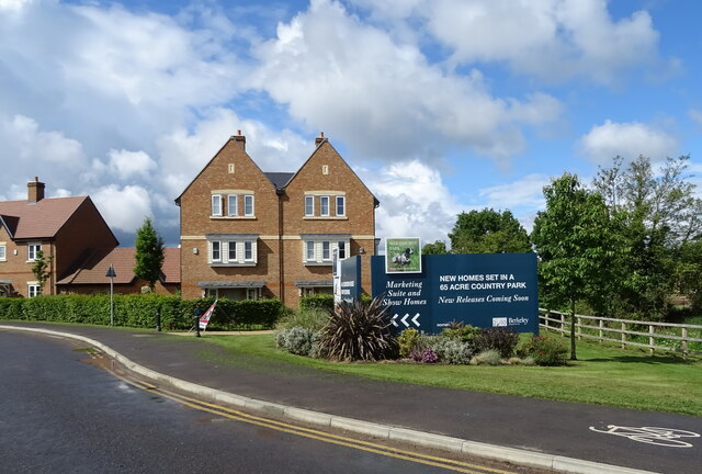
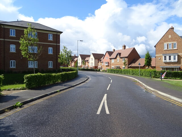
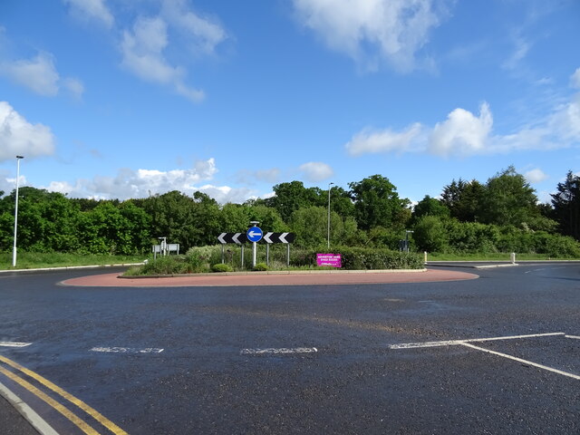
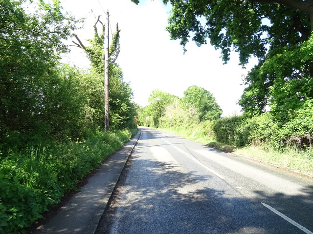
Hazelwood Copse Images
Images are sourced within 2km of 51.440909/-0.76337694 or Grid Reference SU8672. Thanks to Geograph Open Source API. All images are credited.


Hazelwood Copse is located at Grid Ref: SU8672 (Lat: 51.440909, Lng: -0.76337694)
Unitary Authority: Bracknell Forest
Police Authority: Thames Valley
What 3 Words
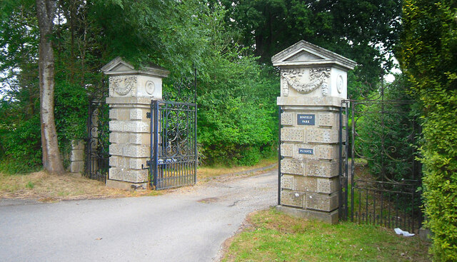
///limit.tennis.over. Near Binfield, Berkshire
Nearby Locations
Related Wikis
Warfield Hall
Warfield Hall is a Grade II listed building at Warfield in Berkshire. == History == Warfield Hall was originally built in the 1730s and belonged to the...

Berks County F.C.
Berks County Football Club is a football club based in Ascot, England. They are currently members of the Combined Counties League Division One and groundshare...
Binfield F.C.
Binfield Football Club is a football club based in Binfield, near Bracknell, Berkshire, England. Affiliated to the Berks & Bucks Football Association,...
Moss End
Moss End is a hamlet in Berkshire, England, within the civil parish of Warfield. The settlement lies on the A3095 road and is approximately 2 miles (3...
Jealott's Hill
Jealott's Hill is a village in the county of Berkshire, England, within the civil parish of Warfield. The settlement is on the A3095 road approximately...

Quelm Park
Quelm Park is a suburb of Bracknell, in Berkshire, England. The settlement lies west of the A3095 road, south of the Bracknell Northern Distributor Road...
Tinkers Copse
Tinkers Copse is a 1.9-hectare (4.7-acre) Local Nature Reserve on the northwestern outskirts of Bracknell in Berkshire. It is owned and managed by Bracknell...

Piggy Wood
Piggy Wood is a 2.3-hectare (5.7-acre) Local Nature Reserve on the northern outskirts of Bracknell in Berkshire. It is owned and managed by Bracknell...
Related Videos
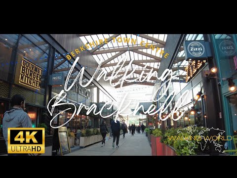
Walking Bracknell, Berkshire UHD 4K | Christmas Walk | December 2022
A chilly winter walk around the town centre of Bracknell, Berkshire, England. The town is approx 18km east of Reading and 40km ...
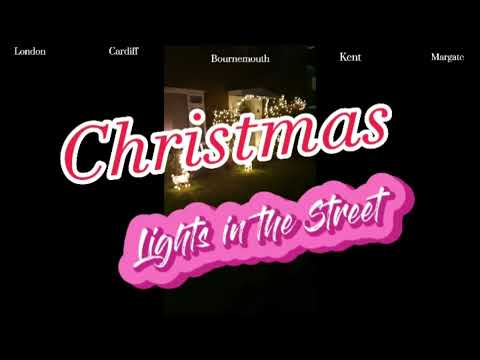
Christmas lights in the street| captured while walking home
While walking in the street naisipan kong magvideo kung saan may nadaanan akong magagandang christmas lights sa bawat ...

half term holiday clubs near me
Looking for half term holiday clubs near me? visit https://www.getactivesports.com/holiday-clubs-2/ Get Active Sports Holiday ...
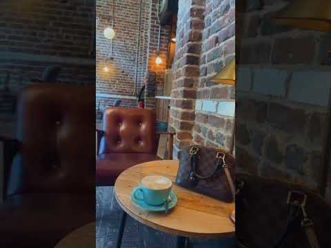
#cofeeshop #cofee #bracknell #uk #travelvlog #travel #trading #nasdaq #selfridges #lv #louisvuitton
cofeeshop #cofee #bracknell #uk #travelvlog #travel #trading #nasdaq #selfridges #lv #louisvuitton.
Nearby Amenities
Located within 500m of 51.440909,-0.76337694Have you been to Hazelwood Copse?
Leave your review of Hazelwood Copse below (or comments, questions and feedback).