Tickleback Row
Settlement in Berkshire
England
Tickleback Row
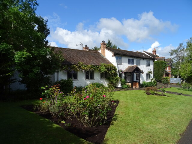
Tickleback Row is a small, picturesque village nestled in the heart of Berkshire, England. Located just a few miles from the bustling town of Newbury, this idyllic settlement offers a perfect blend of rural charm and modern amenities. The village is known for its tranquil surroundings, rolling green hills, and quaint cottages that date back several centuries.
One of the standout features of Tickleback Row is its rich history. The village has existed since medieval times and still retains its traditional character. Many of the buildings have been carefully preserved, showcasing the area's architectural heritage. The village church, St. Mary's, is a prime example of Gothic architecture and attracts visitors from near and far.
Despite its small size, Tickleback Row boasts a strong sense of community. The villagers take great pride in organizing various events throughout the year, such as a popular summer fair and a festive Christmas market. These occasions provide opportunities for residents and visitors to come together, fostering a warm and welcoming atmosphere.
Nature enthusiasts will find plenty to explore in the surrounding countryside. Tickleback Row is situated near several nature reserves, offering a plethora of walking trails and wildlife spotting opportunities. The nearby River Kennet is a favorite spot for fishing and boating, attracting anglers and water sports enthusiasts alike.
For those seeking a taste of modern conveniences, the town of Newbury is just a short drive away. Here, residents can find a range of shops, restaurants, and entertainment venues. Additionally, Newbury is well-connected by rail and road, making it easy to access other major cities and attractions in the region.
Overall, Tickleback Row presents an enchanting destination for those seeking a peaceful retreat in a quintessentially English village, all while being within reach of urban amenities.
If you have any feedback on the listing, please let us know in the comments section below.
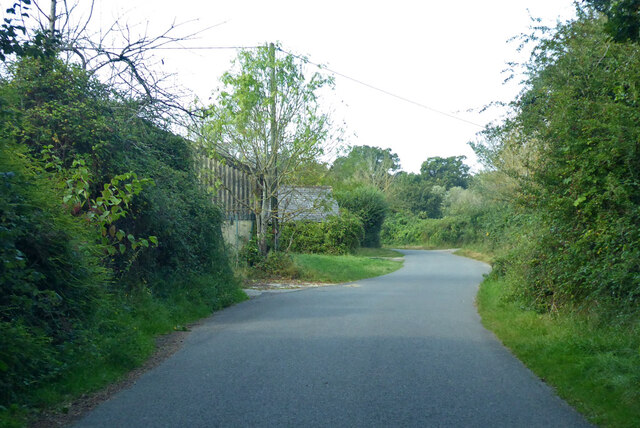
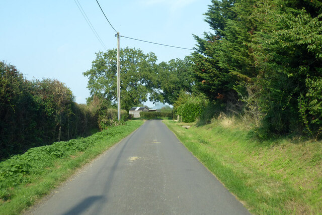
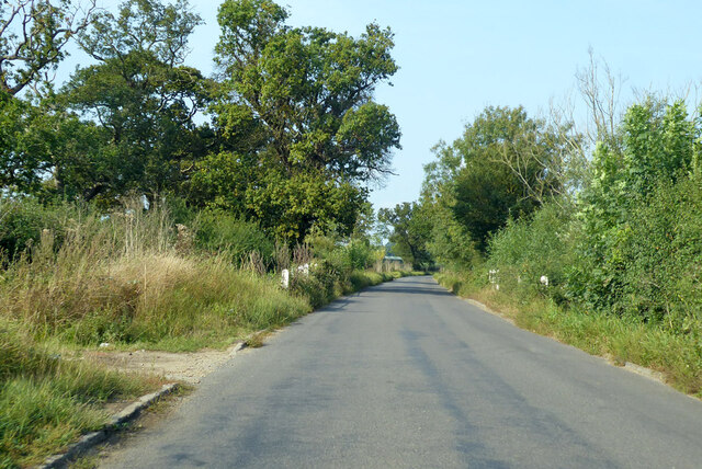
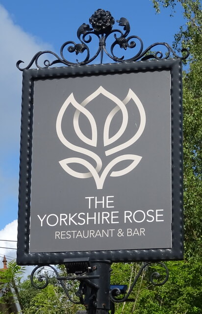
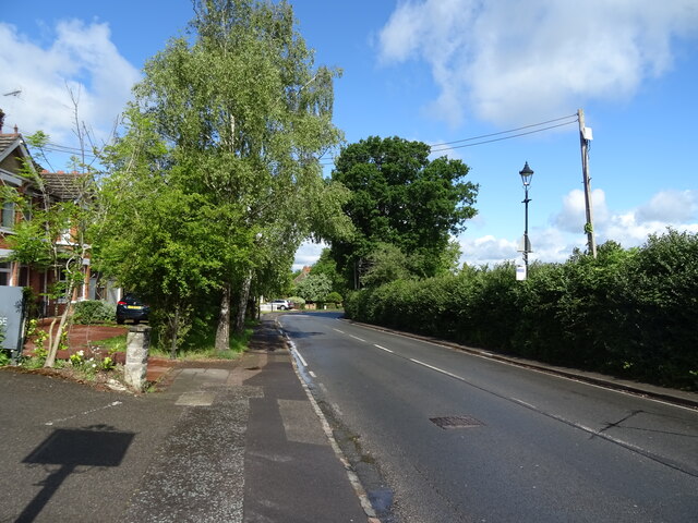
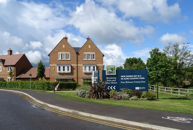
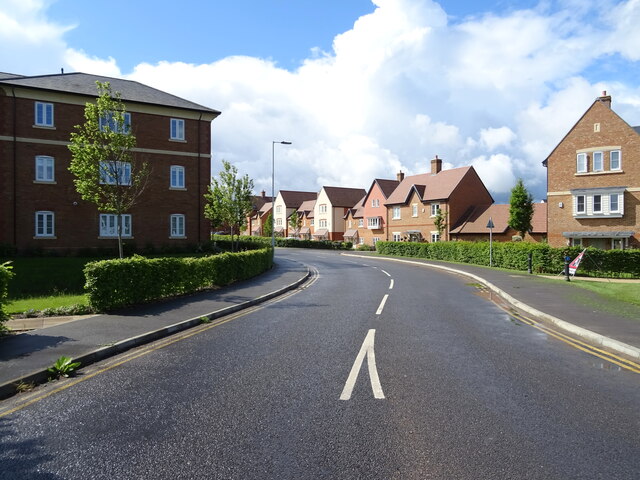
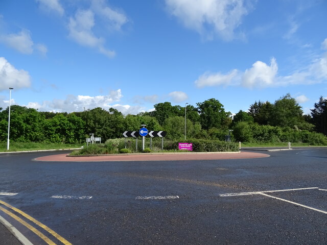
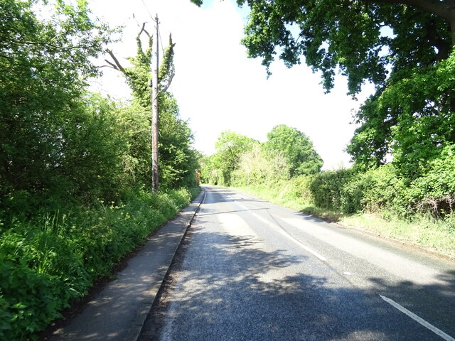
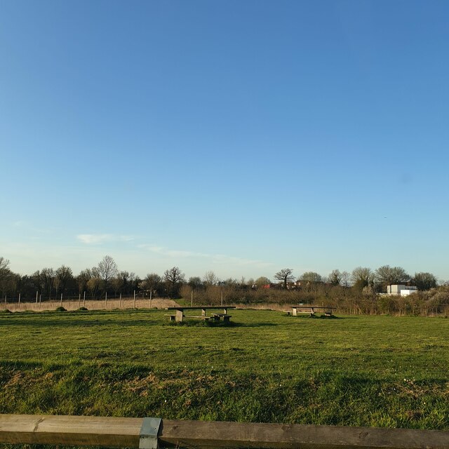
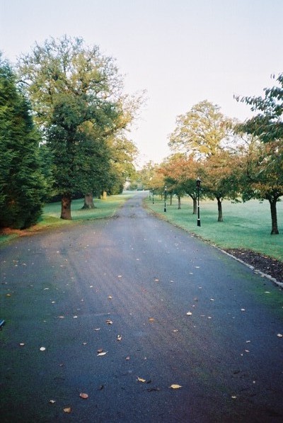
Tickleback Row Images
Images are sourced within 2km of 51.446979/-0.754815 or Grid Reference SU8672. Thanks to Geograph Open Source API. All images are credited.


Tickleback Row is located at Grid Ref: SU8672 (Lat: 51.446979, Lng: -0.754815)
Unitary Authority: Bracknell Forest
Police Authority: Thames Valley
What 3 Words
///they.inspector.rent. Near Warfield, Berkshire
Nearby Locations
Related Wikis

Moss End
Moss End is a hamlet in Berkshire, England, within the civil parish of Warfield. The settlement lies on the A3095 road and is approximately 2 miles (3...
Jealott's Hill
Jealott's Hill is a village in the county of Berkshire, England, within the civil parish of Warfield. The settlement is on the A3095 road approximately...
Warfield Hall
Warfield Hall is a Grade II listed building at Warfield in Berkshire. == History == Warfield Hall was originally built in the 1730s and belonged to the...

Warfield
Warfield is a village and civil parish in the English county of Berkshire and the borough of Bracknell Forest. == History == Warfield was originally an...

Warfield Church
Warfield Parish Church is a Grade II* listed building.
Hawthorn Hill, Berkshire
Hawthorn Hill is a hamlet in Berkshire, England, within the civil parish of Warfield. The settlement lies at the junction of the A3095 and A330 roads,...
Berks County F.C.
Berks County Football Club is a football club based in Ascot, England. They are currently members of the Combined Counties League Division One and groundshare...
Binfield F.C.
Binfield Football Club is a football club based in Binfield, near Bracknell, Berkshire, England. Affiliated to the Berks & Bucks Football Association,...
Nearby Amenities
Located within 500m of 51.446979,-0.754815Have you been to Tickleback Row?
Leave your review of Tickleback Row below (or comments, questions and feedback).