Westcott Gorse
Wood, Forest in Berkshire
England
Westcott Gorse
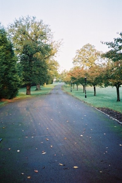
Westcott Gorse is a charming woodland area located in Berkshire, England. Situated in the heart of the countryside, this idyllic spot offers visitors a peaceful and serene escape from the hustle and bustle of daily life. Covering an area of approximately 50 acres, Westcott Gorse is a haven for nature enthusiasts and outdoor adventurers.
The woodland is primarily composed of gorse, a spiny evergreen shrub that lends its name to the area. This vibrant yellow flowering plant dominates the landscape, creating a stunning display during the spring and summer months. In addition to gorse, the forest boasts a diverse array of trees, including oak, birch, and beech, which provide shade and shelter for the local wildlife.
Westcott Gorse is home to a rich variety of flora and fauna, attracting a wide range of bird species, such as woodpeckers, warblers, and owls. The forest floor is also teeming with small mammals, including squirrels, rabbits, and hedgehogs. Visitors may even catch a glimpse of deer gracefully wandering through the trees.
A network of well-maintained footpaths and trails winds through the woodland, allowing visitors to explore the area at their own pace. Whether hiking, jogging, or simply strolling, these paths provide an opportunity to immerse oneself in the natural beauty of the surroundings.
Overall, Westcott Gorse is a picturesque woodland retreat, offering a tranquil escape for those seeking solace in nature. With its stunning gorse displays, diverse wildlife, and peaceful atmosphere, this Berkshire gem is a must-visit destination for anyone looking to reconnect with the great outdoors.
If you have any feedback on the listing, please let us know in the comments section below.
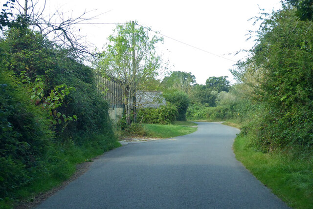
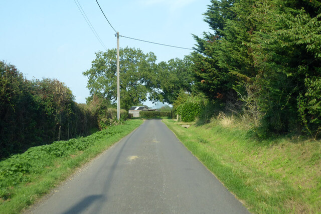
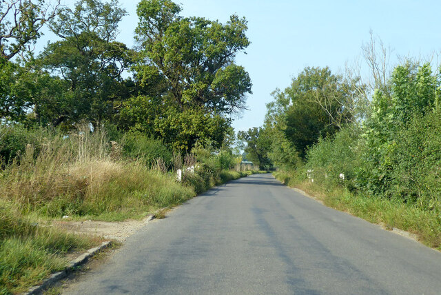
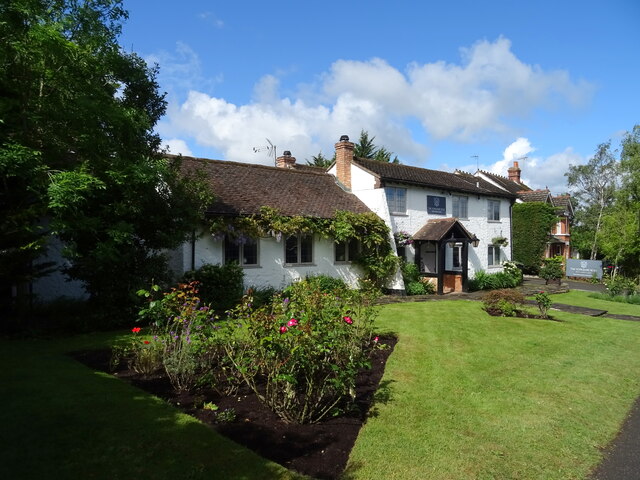
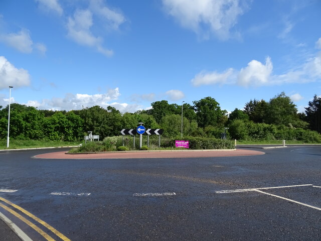
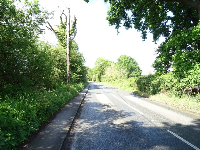
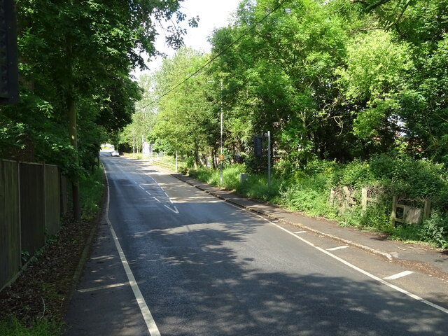
Westcott Gorse Images
Images are sourced within 2km of 51.449095/-0.76020572 or Grid Reference SU8672. Thanks to Geograph Open Source API. All images are credited.


Westcott Gorse is located at Grid Ref: SU8672 (Lat: 51.449095, Lng: -0.76020572)
Unitary Authority: Bracknell Forest
Police Authority: Thames Valley
What 3 Words
///round.hungry.item. Near Warfield, Berkshire
Nearby Locations
Related Wikis

Moss End
Moss End is a hamlet in Berkshire, England, within the civil parish of Warfield. The settlement lies on the A3095 road and is approximately 2 miles (3...
Jealott's Hill
Jealott's Hill is a village in the county of Berkshire, England, within the civil parish of Warfield. The settlement is on the A3095 road approximately...
Warfield Hall
Warfield Hall is a Grade II listed building at Warfield in Berkshire. == History == Warfield Hall was originally built in the 1730s and belonged to the...
Berks County F.C.
Berks County Football Club is a football club based in Ascot, England. They are currently members of the Combined Counties League Division One and groundshare...
Binfield F.C.
Binfield Football Club is a football club based in Binfield, near Bracknell, Berkshire, England. Affiliated to the Berks & Bucks Football Association,...
Hawthorn Hill, Berkshire
Hawthorn Hill is a hamlet in Berkshire, England, within the civil parish of Warfield. The settlement lies at the junction of the A3095 and A330 roads,...

Warfield
Warfield is a village and civil parish in the English county of Berkshire and the borough of Bracknell Forest. == History == Warfield was originally an...

Warfield Church
Warfield Parish Church is a Grade II* listed building.
Nearby Amenities
Located within 500m of 51.449095,-0.76020572Have you been to Westcott Gorse?
Leave your review of Westcott Gorse below (or comments, questions and feedback).