Holton, East
Settlement in Dorset
England
Holton, East
Holton is a small village located in the eastern part of the county of Dorset, England. Situated in the picturesque countryside, it falls within the district of East Dorset. The village is nestled between the towns of Wimborne Minster and Blandford Forum, offering residents the convenience of nearby amenities while enjoying a peaceful rural setting.
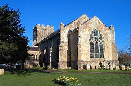
With a population of around 500, Holton exudes a close-knit community atmosphere. The village is characterized by its traditional thatched cottages, charming gardens, and well-preserved historic buildings. The local church, St. Mary's, is a prominent feature and dates back to the 12th century, showcasing beautiful architectural details.
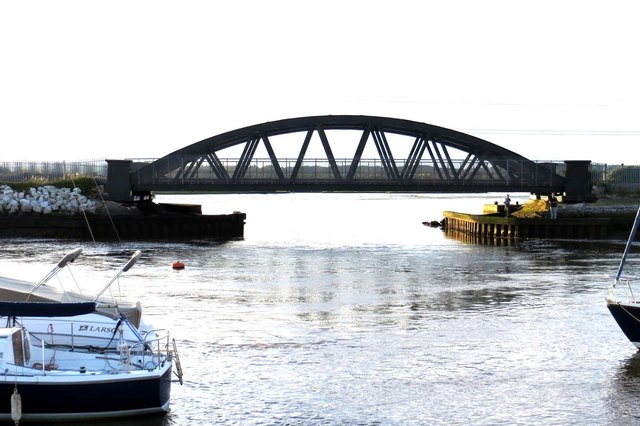
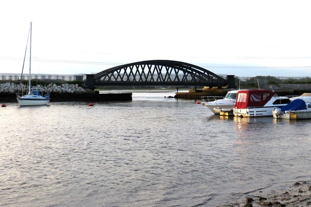
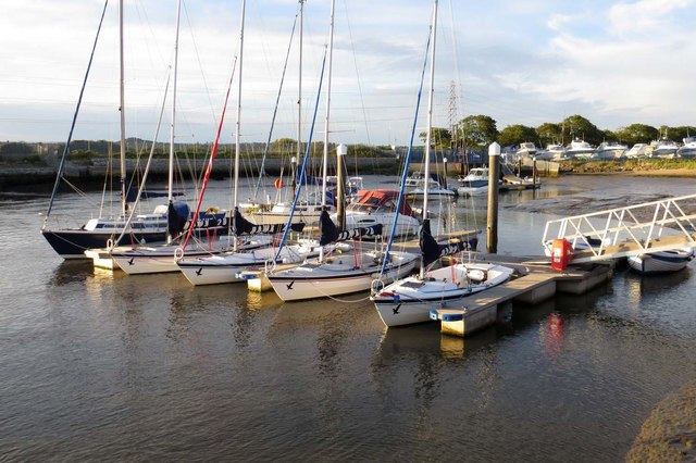
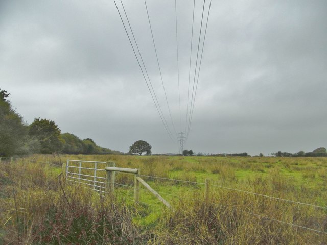
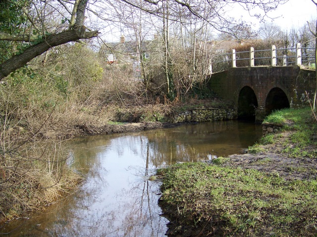
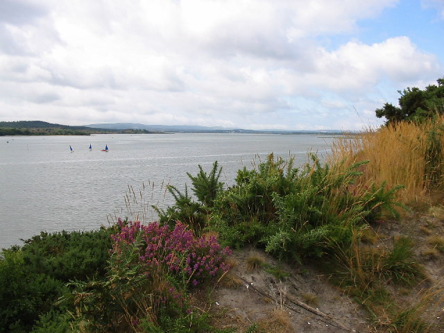
Holton benefits from its proximity to the River Stour, which flows through the area. This provides opportunities for outdoor activities such as fishing, boating, and scenic walks along the riverbanks. The surrounding countryside offers numerous picturesque trails, making it an ideal location for nature lovers and hikers.
Although Holton is primarily a residential area, it is within easy reach of larger towns and cities. Bournemouth, Poole, and Salisbury are all within a short drive, offering a wider range of amenities, shopping centers, and cultural attractions.
Overall, Holton is a charming village that offers a tranquil and idyllic countryside lifestyle. Its historical charm, natural beauty, and community spirit make it an attractive place to live for those seeking a peaceful retreat while still having access to nearby urban centers.
If you have any feedback on the listing, please let us know in the comments section below.
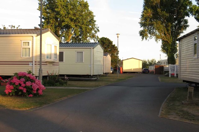
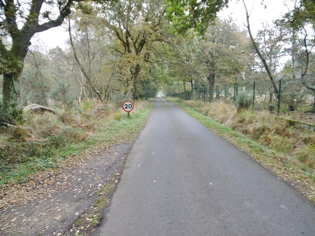
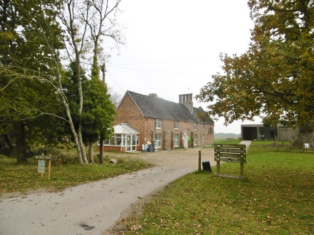
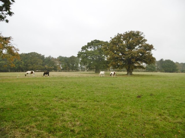
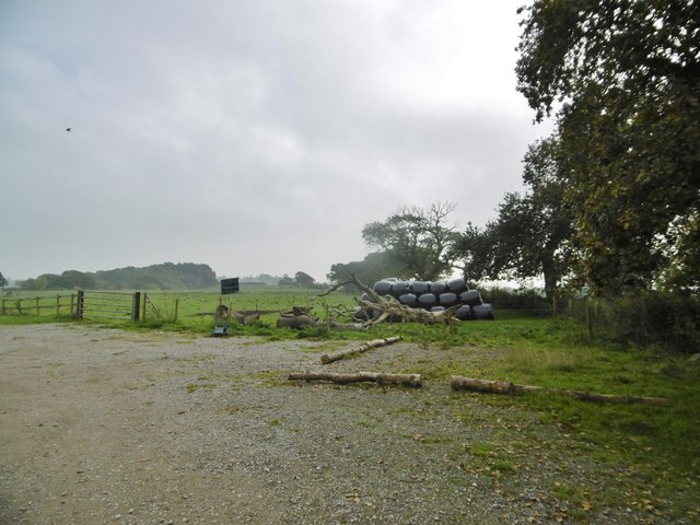
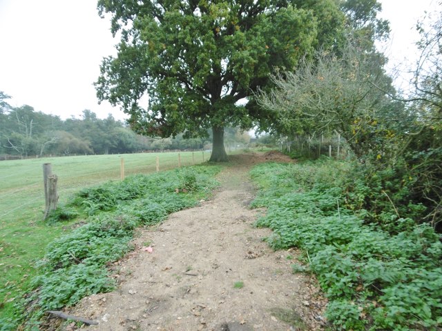
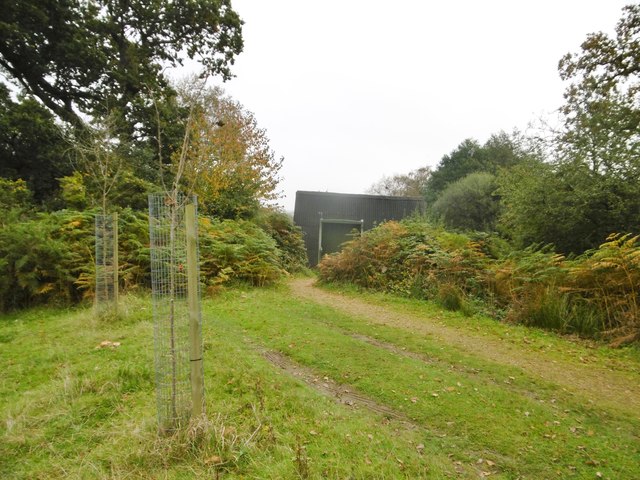
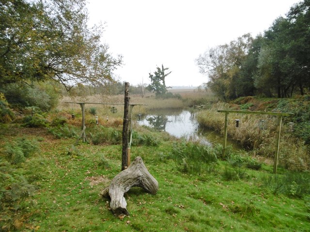
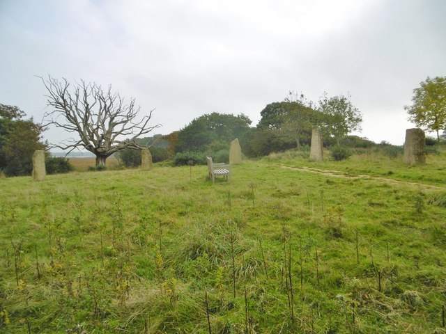
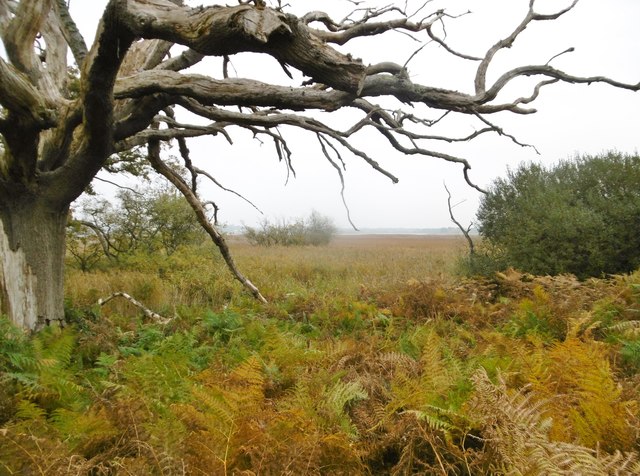
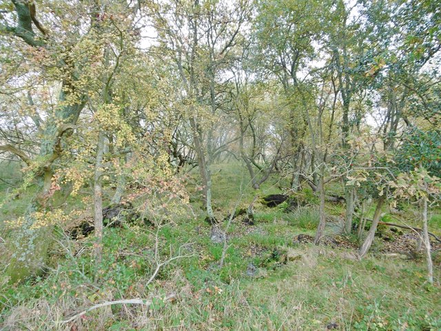
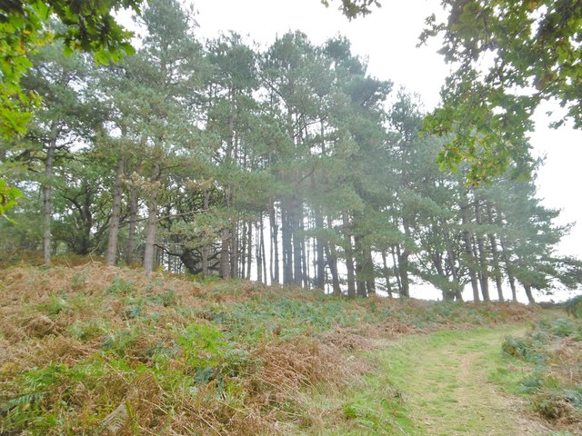
Holton, East Images
Images are sourced within 2km of 50.721572/-2.0563433 or Grid Reference SY9691. Thanks to Geograph Open Source API. All images are credited.

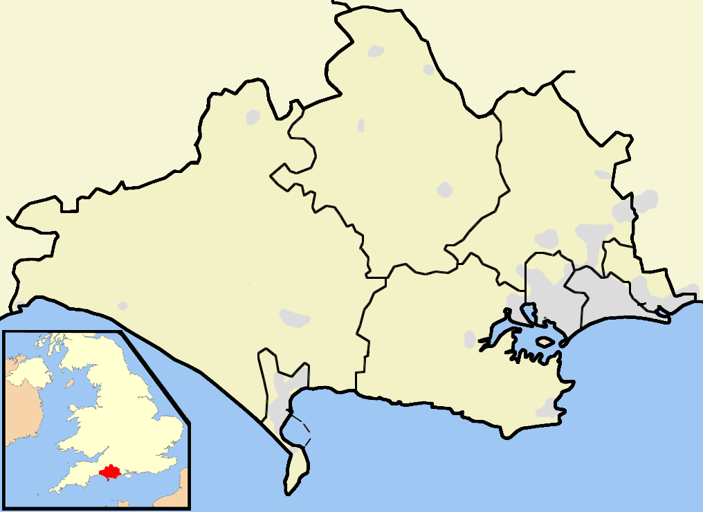
Holton, East is located at Grid Ref: SY9691 (Lat: 50.721572, Lng: -2.0563433)
Unitary Authority: Dorset
Police Authority: Dorset
What 3 Words
///exam.toward.maker. Near Lytchett Matravers, Dorset
Nearby Locations
Related Wikis
River Sherford
The River Sherford, also frequently called the Sherford River, is one of the four main rivers flowing into Poole Harbour in the county of Dorset, England...

Royal Naval Cordite Factory, Holton Heath
The Royal Naval Cordite Factory, Holton Heath (RNCF) was set up at Holton Heath, Dorset, England, in World War I to manufacture cordite for the Royal Navy...

Holton Heath
Holton Heath is an area of the parish of Wareham St. Martin, Dorset, England. The area includes a trading estate, on the site of the former Royal Navy...
Lytchett Bay
Lytchett Bay is located close to the town of Upton, Dorset, United Kingdom. It is possible to walk from Lytchett Bay to Rockley Park via the shoreline...
Lytchett Minster
Lytchett Minster is a village in Dorset, England. It lies around 4 miles (6.4 km) north-west of Poole town centre. The village forms part of the civil...
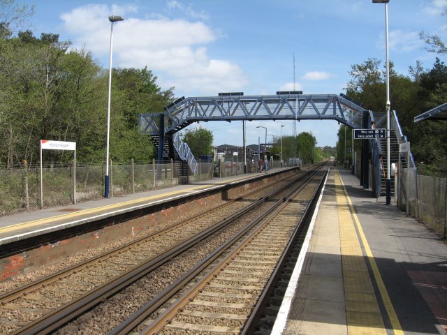
Holton Heath railway station
Holton Heath railway station serves the area of Holton Heath in Wareham St Martin, Dorset, England. It is 118 miles 61 chains (191.1 km) down the line...
Ham Common, Dorset
Ham Common is a Local Nature Reserve at Hamworthy, near Poole, Dorset. Located on the north west shores of Poole Harbour, it is predominantly a heathland...
Lytchett Minster and Upton
Lytchett Minster and Upton, formerly just Lytchett Minster is a civil parish in the Dorset district, in the ceremonial county of Dorset, England. The parish...
Nearby Amenities
Located within 500m of 50.721572,-2.0563433Have you been to Holton, East?
Leave your review of Holton, East below (or comments, questions and feedback).