Otter Island
Island in Dorset
England
Otter Island
Otter Island is a small island located off the coast of Dorset, England. It is situated in the English Channel, approximately 5 miles south of the town of Weymouth. The island gets its name from the otters that inhabit the surrounding waters.
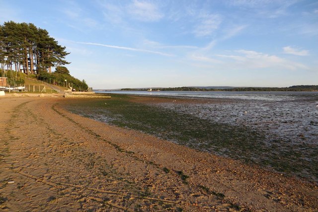
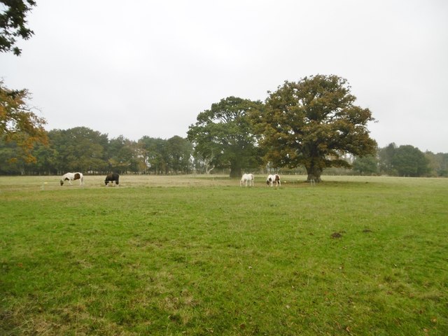
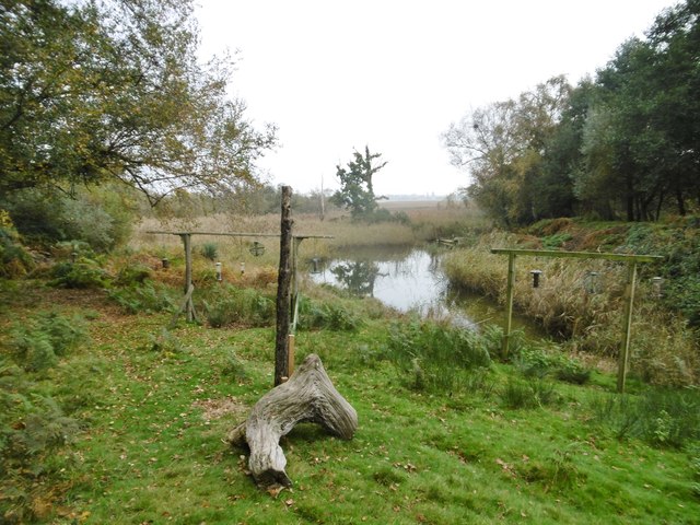
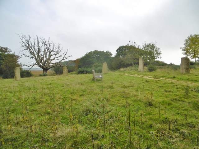
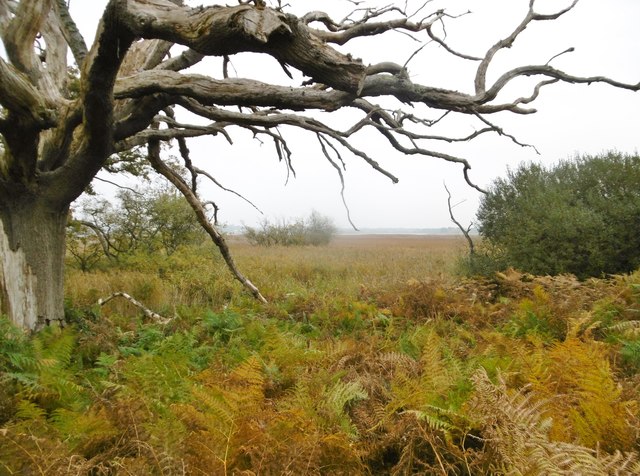
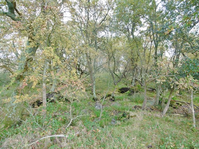
Covering an area of approximately 10 acres, Otter Island is a nature lover's paradise. It is known for its diverse wildlife and rich marine ecosystem. The island itself is predominantly covered in lush vegetation, including grasses, shrubs, and some scattered trees. This provides ideal habitats for a variety of bird species, including guillemots, puffins, and terns, which can be spotted nesting on the cliffs and rocky outcrops.
The surrounding waters of Otter Island are home to a wide range of marine life, making it a popular spot for snorkeling and diving enthusiasts. The crystal-clear waters offer excellent visibility, allowing visitors to observe colorful fish, lobsters, and even seals. The island is also known for its vibrant underwater kelp forests, which provide shelter and food for many species.
Access to Otter Island is limited due to its protected status as a nature reserve. Visitors must obtain permission from the local authorities before landing on the island. This is done to ensure the preservation of the fragile ecosystem and the nesting sites of the birds that call the island home.
Otter Island is a hidden gem in Dorset's natural landscape, offering a unique opportunity to experience the beauty and diversity of the English Channel's marine life.
If you have any feedback on the listing, please let us know in the comments section below.
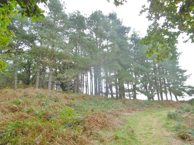
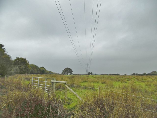
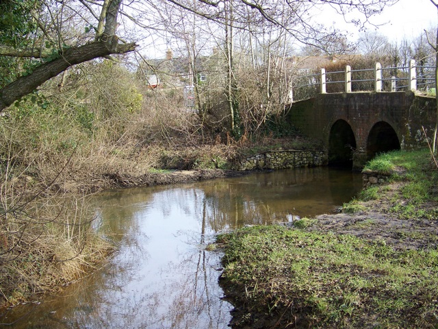
Otter Island Images
Images are sourced within 2km of 50.724607/-2.0451691 or Grid Reference SY9691. Thanks to Geograph Open Source API. All images are credited.
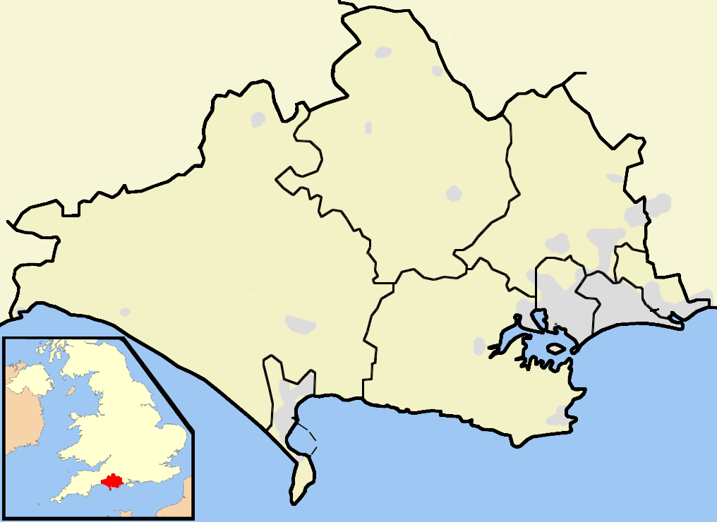
Otter Island is located at Grid Ref: SY9691 (Lat: 50.724607, Lng: -2.0451691)
Unitary Authority: Dorset
Police Authority: Dorset
What 3 Words
///stages.basin.minds. Near Poole, Dorset
Nearby Locations
Related Wikis
River Sherford
The River Sherford, also frequently called the Sherford River, is one of the four main rivers flowing into Poole Harbour in the county of Dorset, England...
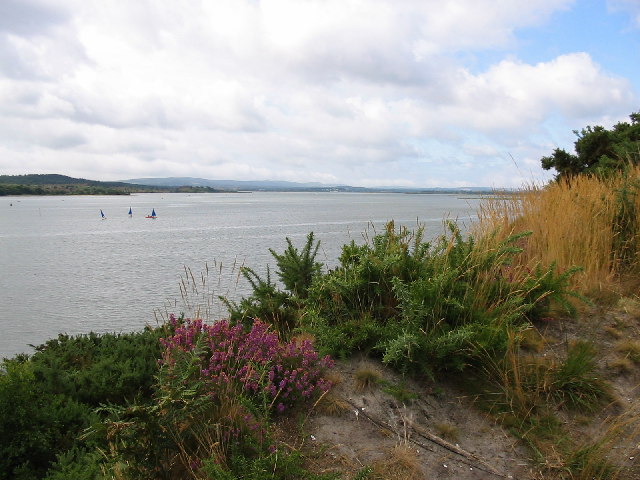
Lytchett Bay
Lytchett Bay is located close to the town of Upton, Dorset, United Kingdom. It is possible to walk from Lytchett Bay to Rockley Park via the shoreline...
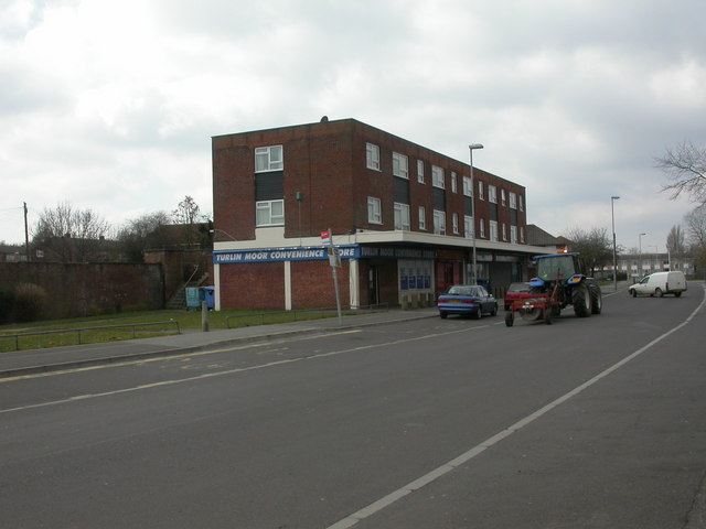
Turlin Moor
Turlin Moor is a suburb of Poole in Dorset, England, located between Hamworthy and Upton. Turlin Moor is classed as part of the Hamworthy Community and...
Ham Common, Dorset
Ham Common is a Local Nature Reserve at Hamworthy, near Poole, Dorset. Located on the north west shores of Poole Harbour, it is predominantly a heathland...

Lytchett Minster
Lytchett Minster is a village in Dorset, England. It lies around 4 miles (6.4 km) north-west of Poole town centre. The village forms part of the civil...

Lytchett Minster and Upton
Lytchett Minster and Upton, formerly just Lytchett Minster is a civil parish in the Dorset district, in the ceremonial county of Dorset, England. The parish...

RM Poole
Royal Marines Base Poole (RM Poole) is a British naval base located in Hamworthy a suburb of Poole, Dorset, England on the Poole Harbour and is the centre...
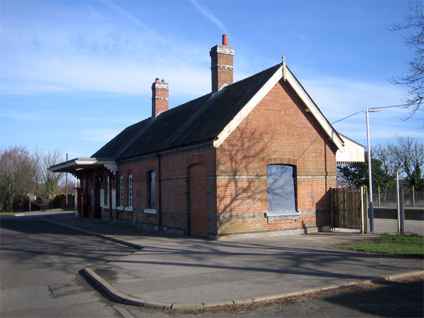
Hamworthy railway station
Hamworthy railway station serves Hamworthy, an area of Poole in Dorset, England. It is 115 miles 77 chains (186.6 km) down the line from London Waterloo...
Nearby Amenities
Located within 500m of 50.724607,-2.0451691Have you been to Otter Island?
Leave your review of Otter Island below (or comments, questions and feedback).