Holton Clump
Wood, Forest in Dorset
England
Holton Clump
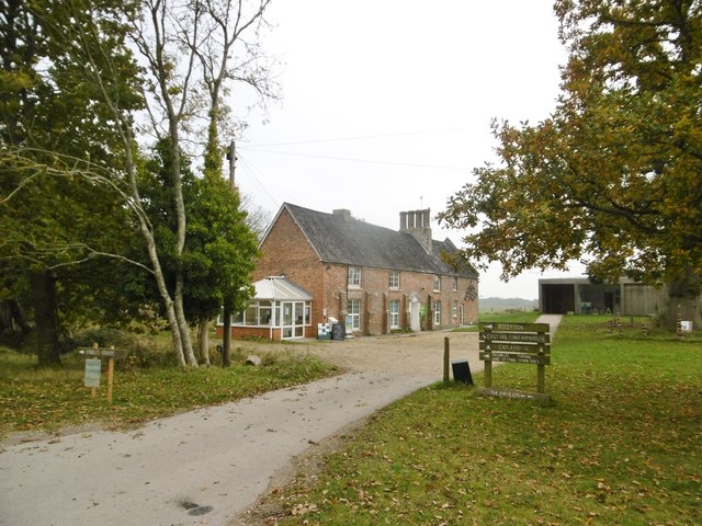
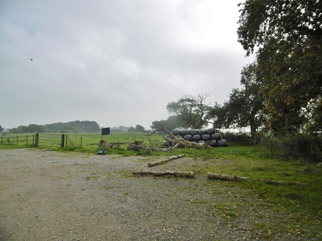
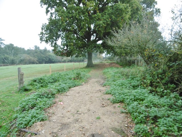
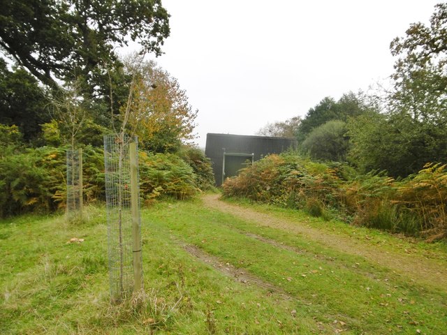
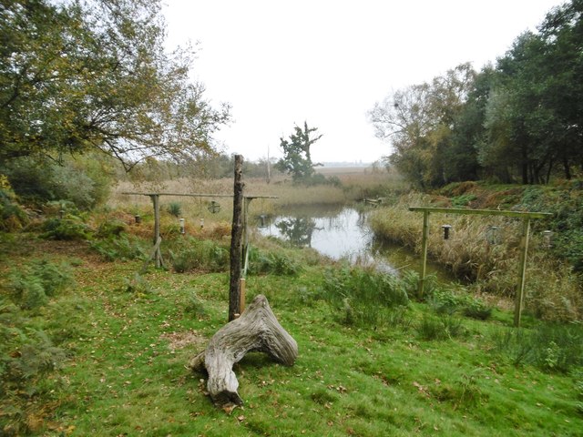
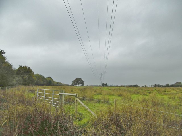
Holton Clump, located in Dorset, England, is a picturesque wood and forest area that spans approximately 10 hectares. Situated near the village of Holton Heath, it is a popular destination for nature enthusiasts and outdoor adventurers.
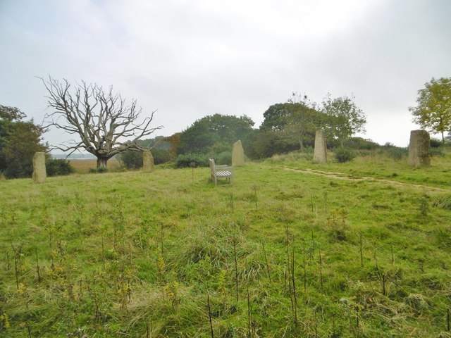
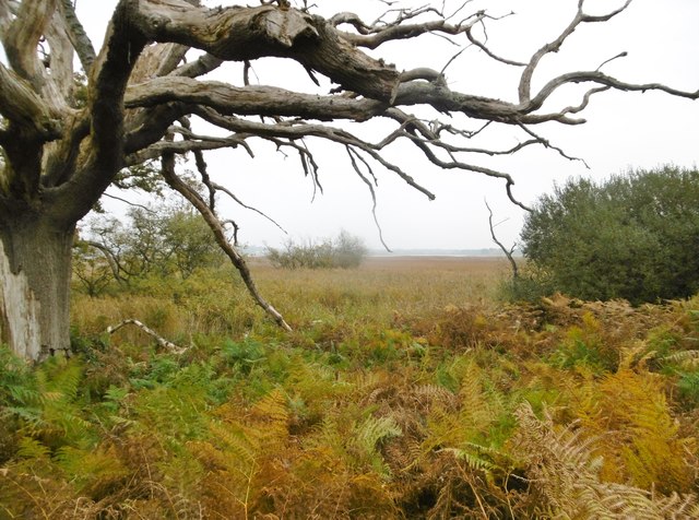
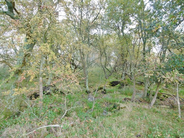
The forest is predominantly made up of broadleaf trees, such as oak, beech, and birch, which create a lush and vibrant canopy during the summer months. The woodland floor is adorned with a variety of wildflowers, ferns, and mosses, adding to its natural beauty.
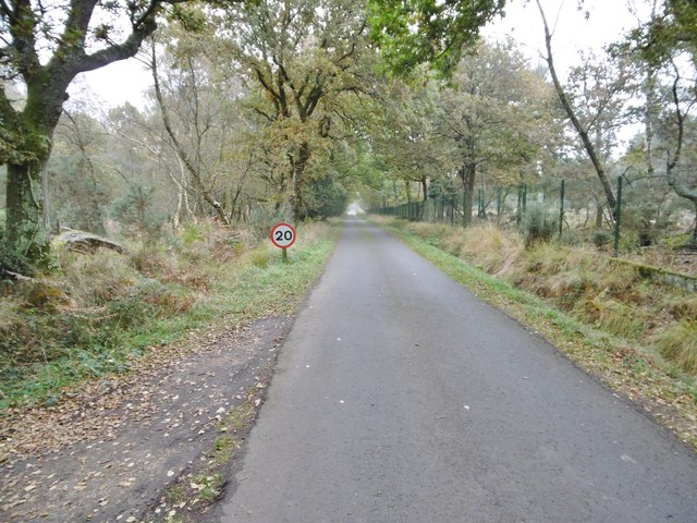
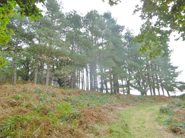
Holton Clump offers a range of walking trails, allowing visitors to explore its serene surroundings. The trails vary in length and difficulty, catering to both casual strollers and more experienced hikers. Along the way, there are several viewpoints that provide breathtaking vistas of the surrounding countryside.
One of the most prominent features of Holton Clump is its ancient hill fort, dating back thousands of years. The fort, known as Rawlsbury Camp, is an impressive earthwork enclosure that served as a defensive structure during the Iron Age. Today, it serves as a reminder of the area's rich history and attracts history enthusiasts.
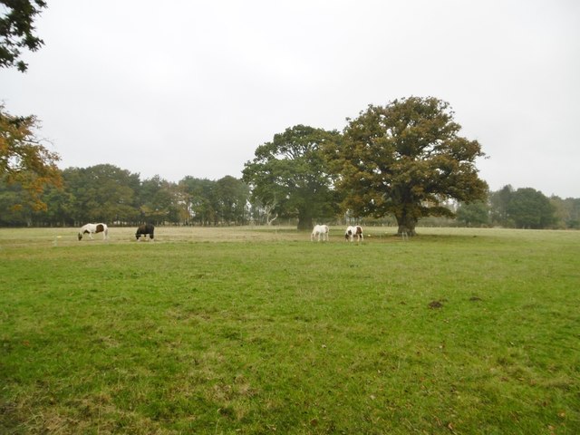
The forest is also home to a diverse array of wildlife. Birdwatchers can spot various species, including woodpeckers, owls, and warblers. Additionally, small mammals like foxes, badgers, and rabbits can often be seen darting through the undergrowth.
Overall, Holton Clump is a tranquil and idyllic wood and forest area that offers visitors a chance to immerse themselves in nature, discover ancient history, and appreciate the beauty of Dorset's countryside.
If you have any feedback on the listing, please let us know in the comments section below.
Holton Clump Images
Images are sourced within 2km of 50.721315/-2.0470642 or Grid Reference SY9691. Thanks to Geograph Open Source API. All images are credited.

Holton Clump is located at Grid Ref: SY9691 (Lat: 50.721315, Lng: -2.0470642)
Unitary Authority: Dorset
Police Authority: Dorset
What 3 Words
///bugs.chat.hurray. Near Poole, Dorset
Nearby Locations
Related Wikis
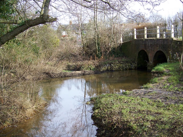
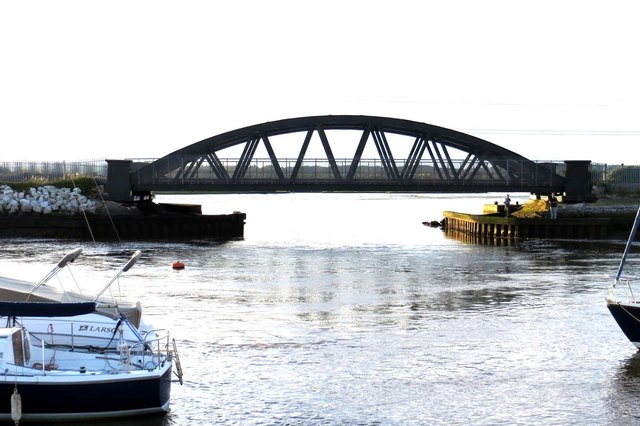
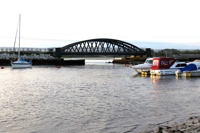
River Sherford
The River Sherford, also frequently called the Sherford River, is one of the four main rivers flowing into Poole Harbour in the county of Dorset, England...
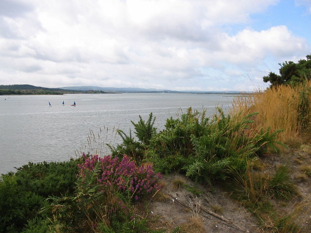
Lytchett Bay
Lytchett Bay is located close to the town of Upton, Dorset, United Kingdom. It is possible to walk from Lytchett Bay to Rockley Park via the shoreline...
Ham Common, Dorset
Ham Common is a Local Nature Reserve at Hamworthy, near Poole, Dorset. Located on the north west shores of Poole Harbour, it is predominantly a heathland...
Turlin Moor
Turlin Moor is a suburb of Poole in Dorset, England, located between Hamworthy and Upton. Turlin Moor is classed as part of the Hamworthy Community and...

Lytchett Minster
Lytchett Minster is a village in Dorset, England. It lies around 4 miles (6.4 km) north-west of Poole town centre. The village forms part of the civil...

Hamworthy Beach
Hamworthy Beach is situated between the Marine Camp and Rockley Sands in Poole Bay, Dorset, known to locals but more difficult to find for outsiders. The...

RM Poole
Royal Marines Base Poole (RM Poole) is a British naval base located in Hamworthy a suburb of Poole, Dorset, England on the Poole Harbour and is the centre...

Royal Naval Cordite Factory, Holton Heath
The Royal Naval Cordite Factory, Holton Heath (RNCF) was set up at Holton Heath, Dorset, England, in World War I to manufacture cordite for the Royal Navy...
Nearby Amenities
Located within 500m of 50.721315,-2.0470642Have you been to Holton Clump?
Leave your review of Holton Clump below (or comments, questions and feedback).