Holly Coppice
Wood, Forest in Dorset
England
Holly Coppice
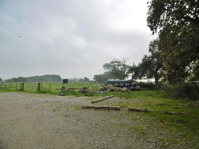
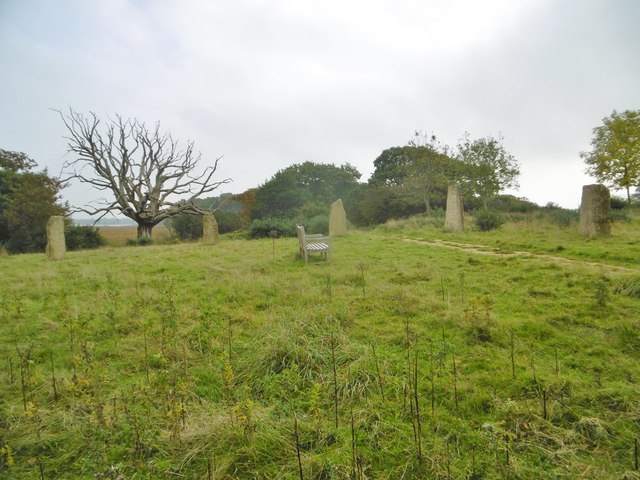
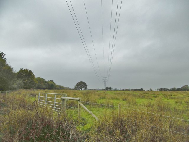
Holly Coppice is a picturesque woodland located in the county of Dorset, England. Covering an area of approximately 50 hectares, it is situated in the heart of the county, surrounded by rolling hills and charming rural landscapes. The coppice takes its name from the abundance of holly trees that dominate the area, creating a unique and enchanting atmosphere.
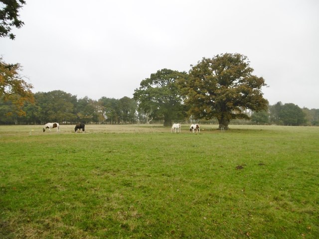
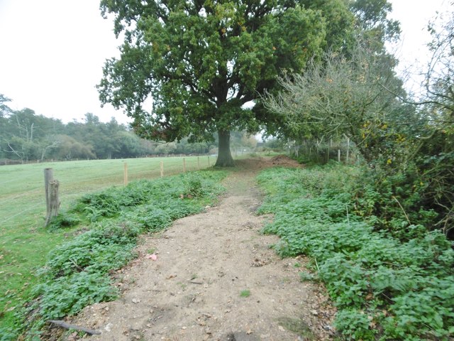
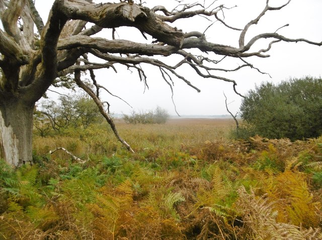
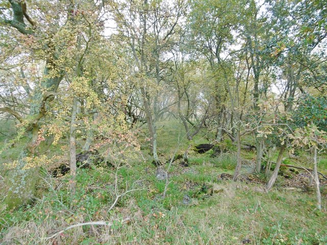
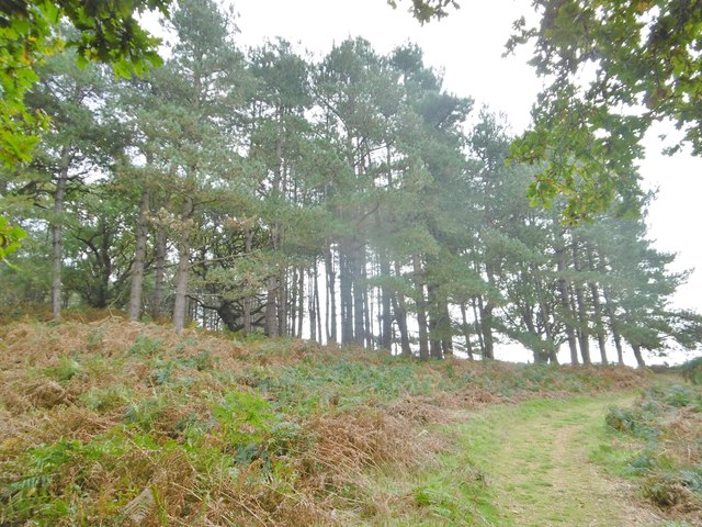
The woodland is known for its diverse range of flora and fauna, with a rich variety of plant species thriving in its fertile soil. In addition to the holly trees, visitors can also find oak, beech, and ash trees scattered throughout the coppice. The forest floor is covered with a carpet of bluebells during springtime, adding a burst of color to the surroundings.
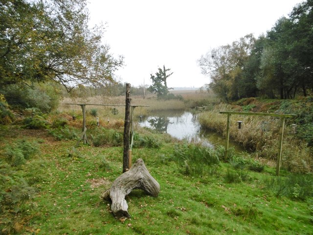
Holly Coppice is a haven for wildlife enthusiasts, providing a habitat for numerous species of birds, mammals, and insects. Birdwatchers can spot woodpeckers, owls, and various songbirds flitting among the branches, while deer, foxes, and badgers are often seen roaming the forest floor.
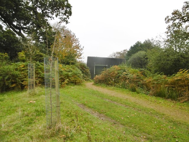
The woodland offers a network of well-maintained footpaths and trails, allowing visitors to explore its beauty at their leisure. It is a popular destination for walkers, joggers, and nature lovers who seek solace in its peaceful surroundings. Additionally, the coppice is equipped with picnic areas and benches, providing an opportunity for visitors to relax and soak in the tranquil atmosphere.
Overall, Holly Coppice in Dorset is a natural treasure, offering a serene escape from the hustle and bustle of everyday life. Its pristine beauty, diverse wildlife, and accessibility make it a must-visit destination for anyone seeking a connection with nature.
If you have any feedback on the listing, please let us know in the comments section below.
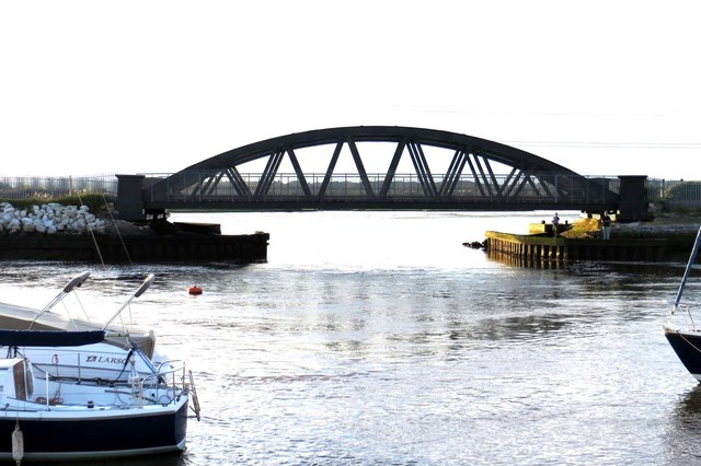
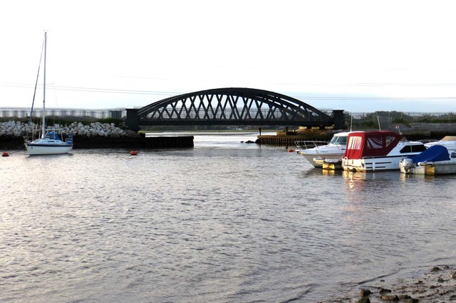
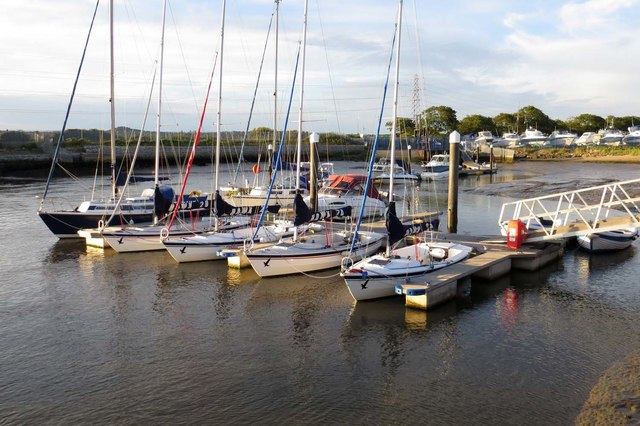
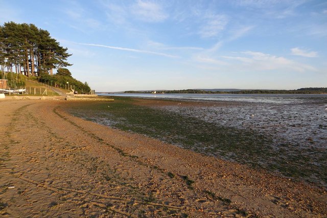
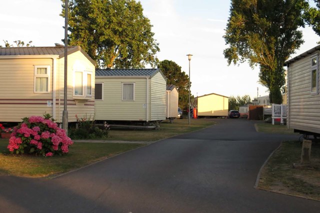
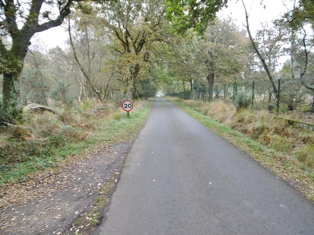
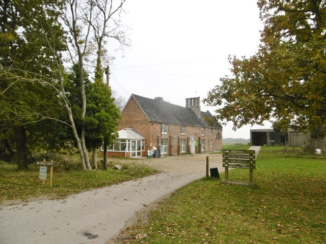
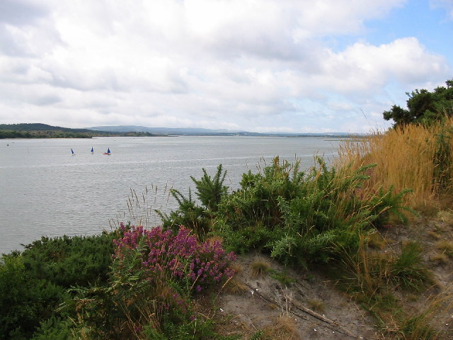
Holly Coppice Images
Images are sourced within 2km of 50.724657/-2.0541794 or Grid Reference SY9691. Thanks to Geograph Open Source API. All images are credited.

Holly Coppice is located at Grid Ref: SY9691 (Lat: 50.724657, Lng: -2.0541794)
Unitary Authority: Dorset
Police Authority: Dorset
What 3 Words
///prom.blitz.stones. Near Lytchett Matravers, Dorset
Nearby Locations
Related Wikis
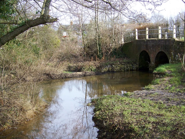
River Sherford
The River Sherford, also frequently called the Sherford River, is one of the four main rivers flowing into Poole Harbour in the county of Dorset, England...
Lytchett Bay
Lytchett Bay is located close to the town of Upton, Dorset, United Kingdom. It is possible to walk from Lytchett Bay to Rockley Park via the shoreline...
Lytchett Minster
Lytchett Minster is a village in Dorset, England. It lies around 4 miles (6.4 km) north-west of Poole town centre. The village forms part of the civil...

Royal Naval Cordite Factory, Holton Heath
The Royal Naval Cordite Factory, Holton Heath (RNCF) was set up at Holton Heath, Dorset, England, in World War I to manufacture cordite for the Royal Navy...

Holton Heath
Holton Heath is an area of the parish of Wareham St. Martin, Dorset, England. The area includes a trading estate, on the site of the former Royal Navy...
Lytchett Minster and Upton
Lytchett Minster and Upton, formerly just Lytchett Minster is a civil parish in the Dorset district, in the ceremonial county of Dorset, England. The parish...
Lytchett Minster School
Lytchett Minster School is a comprehensive school, with about 1,400 students aged 11 to 18, and 100 teachers, in Lytchett Minster, just outside Upton,...
Ham Common, Dorset
Ham Common is a Local Nature Reserve at Hamworthy, near Poole, Dorset. Located on the north west shores of Poole Harbour, it is predominantly a heathland...
Related Videos

Fantastic Facilities at Sandford Holiday Park!
Are you looking for a holiday destination that's packed with fantastic activities for the whole family? Well Sandford Holiday Park in ...

Should You Stay At A Haven Holiday Park? - Our Experience!
Is a Haven holiday worth the money and are they any good anymore? We visit Haven Rockley Park Holiday Park to find out!

OUR AMAZING HOLIDAY IN DORSET!!!
OUR AMAZING HOLIDAY IN DORSET!!! | SANDFORD HOLIDAY VLOG..! Welcome everyone our summer holiday of 2022. In this ...

Sandford Holiday Park - Poole, Dorset
Are you looking for a holiday destination that's packed with fantastic activities for the whole family? Well Sandford Holiday Park in ...
Nearby Amenities
Located within 500m of 50.724657,-2.0541794Have you been to Holly Coppice?
Leave your review of Holly Coppice below (or comments, questions and feedback).