East Holton
Settlement in Dorset
England
East Holton
East Holton is a small village nestled in the picturesque county of Dorset, England. Located just three miles southeast of the historic town of Dorchester, it offers a peaceful retreat from the hustle and bustle of city life. With a population of around 500 residents, it exudes a close-knit community spirit.
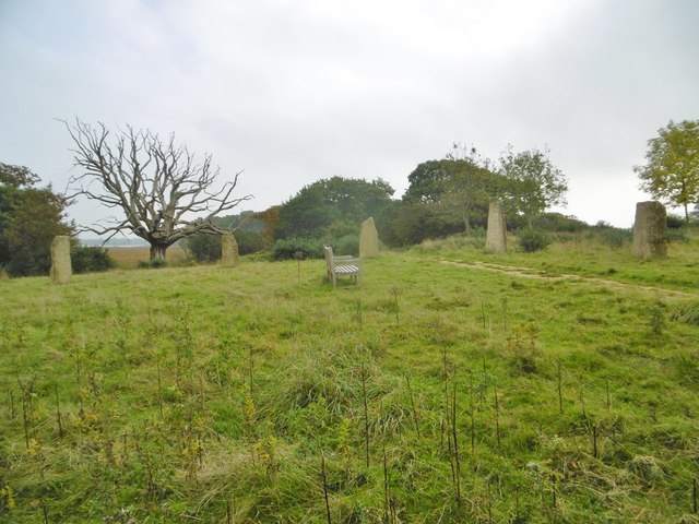
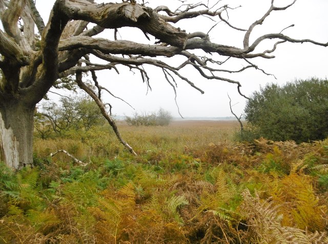
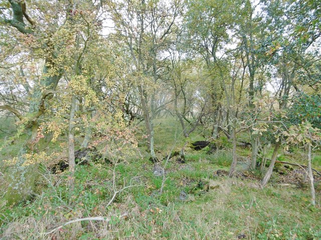
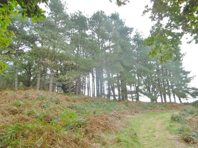
The village is characterized by its charming thatched-roof cottages, which date back to the 17th century, and its idyllic countryside surroundings. Surrounded by rolling hills and lush green fields, East Holton is an ideal location for nature lovers and outdoor enthusiasts. The nearby River Frome also provides scenic walks and opportunities for fishing.
Despite its small size, East Holton offers a range of amenities to cater to its residents' needs. The village boasts a well-regarded primary school, ensuring young families are well-served. The local pub, The Hare and Hounds, is a popular gathering spot for both locals and visitors alike, offering a warm and friendly atmosphere.
For those seeking cultural activities, East Holton is conveniently located near a number of historic sites. The nearby Maiden Castle, one of the largest Iron Age hillforts in Europe, attracts many visitors interested in ancient history. Additionally, the vibrant town of Dorchester offers a wider range of amenities, including shops, restaurants, and museums.
In summary, East Holton is a charming and peaceful village in Dorset, offering a tranquil countryside experience. With its beautiful surroundings, strong sense of community, and proximity to both natural and cultural attractions, it is an appealing destination for residents and visitors alike.
If you have any feedback on the listing, please let us know in the comments section below.
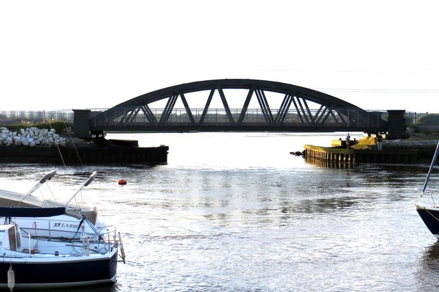
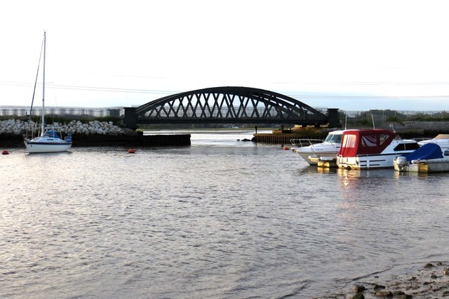
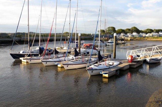
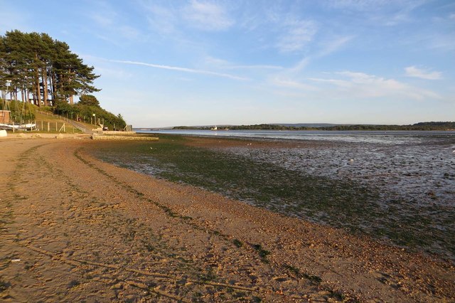
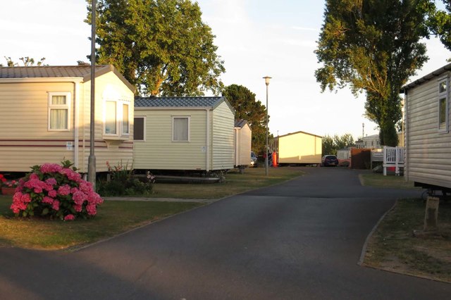
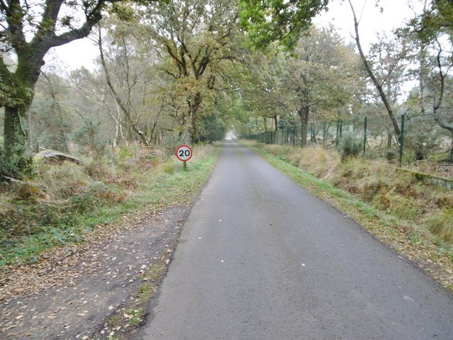
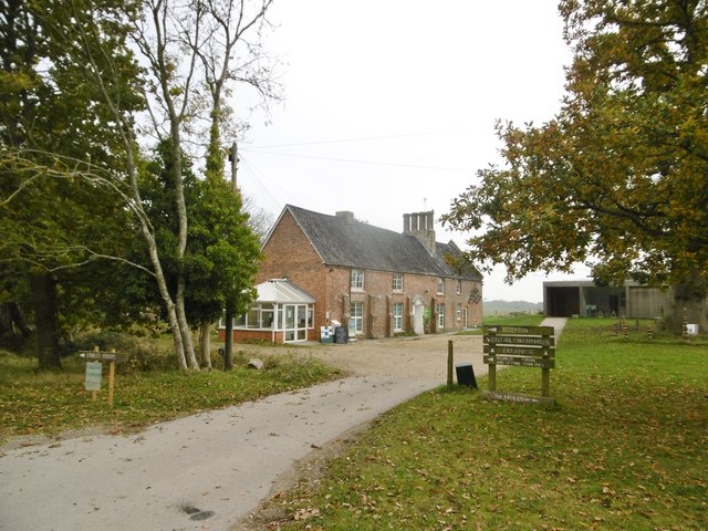
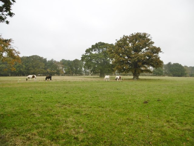
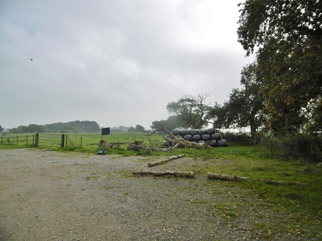
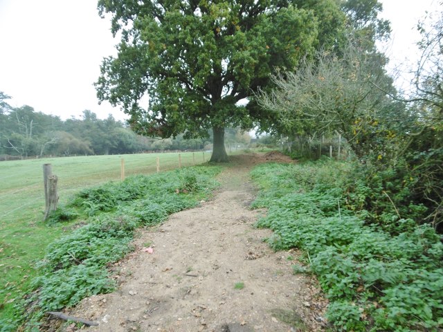
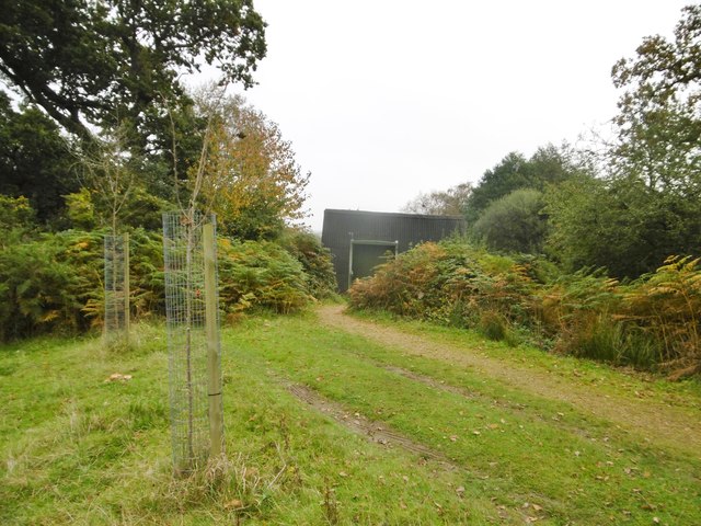
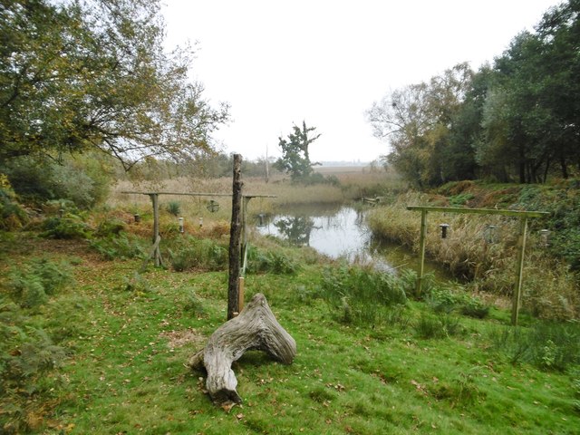
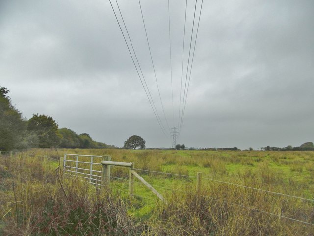
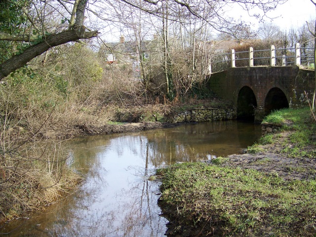
East Holton Images
Images are sourced within 2km of 50.721572/-2.0563433 or Grid Reference SY9691. Thanks to Geograph Open Source API. All images are credited.

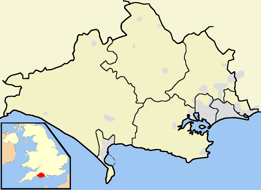
East Holton is located at Grid Ref: SY9691 (Lat: 50.721572, Lng: -2.0563433)
Unitary Authority: Dorset
Police Authority: Dorset
What 3 Words
///exam.toward.maker. Near Lytchett Matravers, Dorset
Nearby Locations
Related Wikis
River Sherford
The River Sherford, also frequently called the Sherford River, is one of the four main rivers flowing into Poole Harbour in the county of Dorset, England...

Royal Naval Cordite Factory, Holton Heath
The Royal Naval Cordite Factory, Holton Heath (RNCF) was set up at Holton Heath, Dorset, England, in World War I to manufacture cordite for the Royal Navy...

Holton Heath
Holton Heath is an area of the parish of Wareham St. Martin, Dorset, England. The area includes a trading estate, on the site of the former Royal Navy...
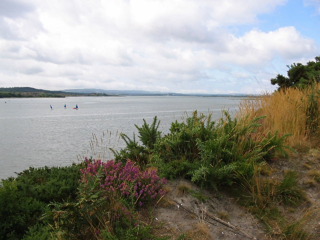
Lytchett Bay
Lytchett Bay is located close to the town of Upton, Dorset, United Kingdom. It is possible to walk from Lytchett Bay to Rockley Park via the shoreline...
Lytchett Minster
Lytchett Minster is a village in Dorset, England. It lies around 4 miles (6.4 km) north-west of Poole town centre. The village forms part of the civil...
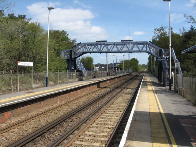
Holton Heath railway station
Holton Heath railway station serves the area of Holton Heath in Wareham St Martin, Dorset, England. It is 118 miles 61 chains (191.1 km) down the line...
Ham Common, Dorset
Ham Common is a Local Nature Reserve at Hamworthy, near Poole, Dorset. Located on the north west shores of Poole Harbour, it is predominantly a heathland...
Lytchett Minster and Upton
Lytchett Minster and Upton, formerly just Lytchett Minster is a civil parish in the Dorset district, in the ceremonial county of Dorset, England. The parish...
Nearby Amenities
Located within 500m of 50.721572,-2.0563433Have you been to East Holton?
Leave your review of East Holton below (or comments, questions and feedback).