East Holme

Settlement in Dorset

England

East Holme

Grazing towards Rushton Farm
Grazing towards Rushton Farm Credit: JThomas

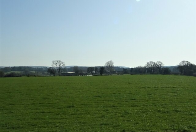
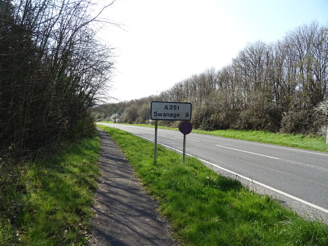
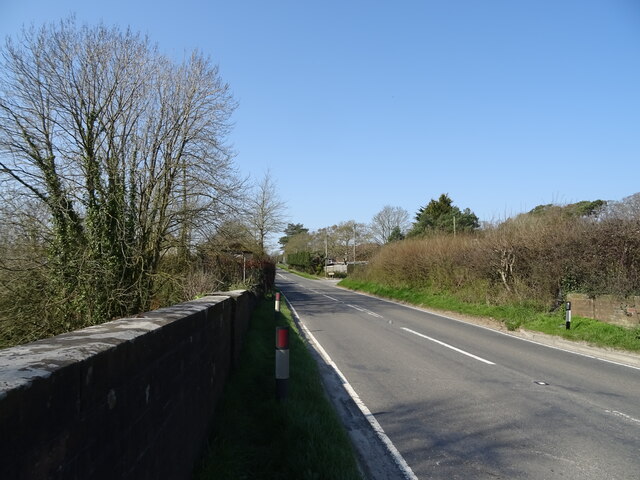
East Holme is a small village located in the county of Dorset, England. Situated on the Isle of Purbeck, it is nestled between the towns of Wareham and Swanage. This picturesque village is surrounded by lush green countryside and offers stunning views of the rolling hills and the nearby Dorset coast.

The history of East Holme can be traced back to the medieval period when it was primarily an agricultural settlement. Today, it retains much of its rural charm with its quaint thatched cottages and traditional stone houses.

Although East Holme is a small village, it offers a range of amenities for its residents and visitors. The village has a local pub, providing a warm and friendly atmosphere, where one can enjoy traditional pub food and a selection of beverages. Additionally, there are several bed and breakfast accommodations available for those who wish to stay and explore the area.

Nature lovers will find East Holme to be an ideal destination, as it is surrounded by beautiful countryside and offers access to various walking and cycling trails. The nearby Wareham Forest is a popular spot for outdoor activities, including hiking and wildlife spotting.

East Holme is also conveniently located for exploring the stunning Jurassic Coast, a UNESCO World Heritage Site. With its dramatic cliffs, secluded coves, and sandy beaches, this stretch of coastline provides ample opportunities for beachcombing, swimming, and fossil hunting.

In summary, East Holme is a charming village in Dorset, offering a tranquil setting, breathtaking views, and easy access to the natural beauty of the Isle of Purbeck and the Jurassic Coast.

If you have any feedback on the listing, please let us know in the comments section below.
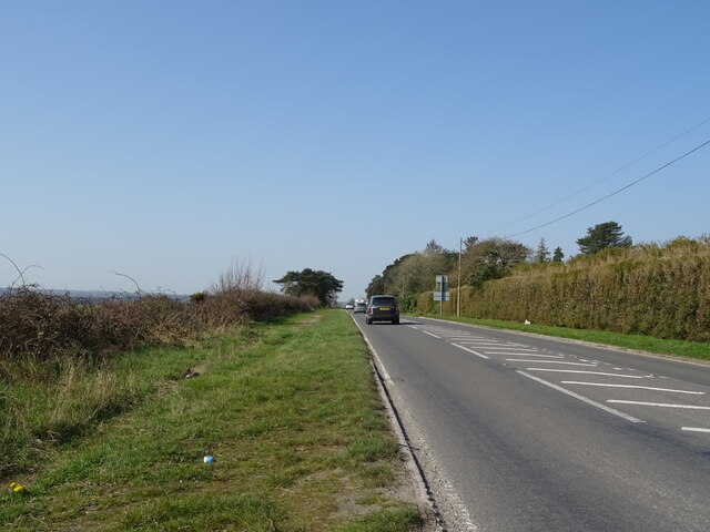
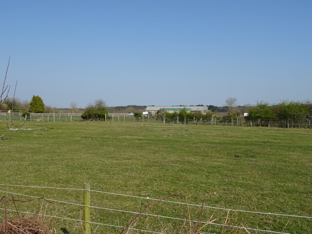
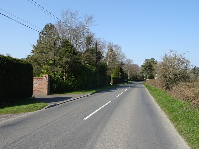
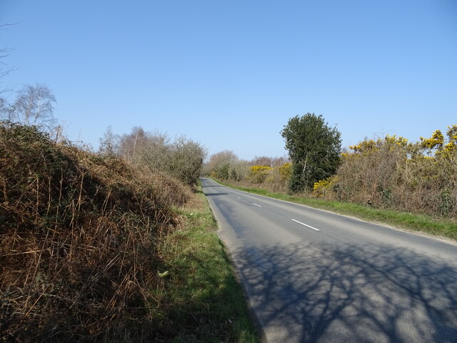
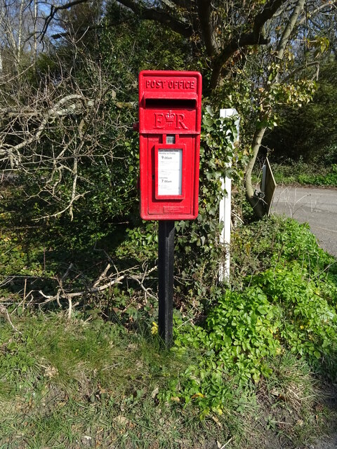
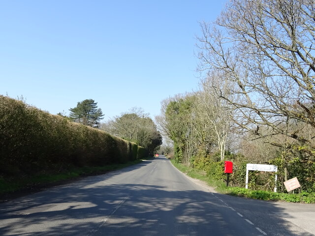
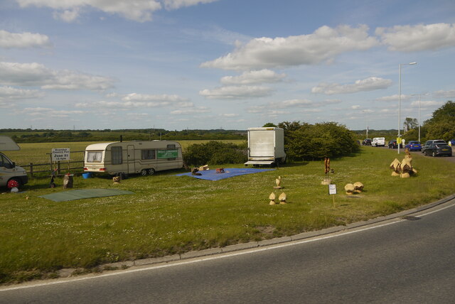
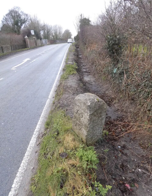
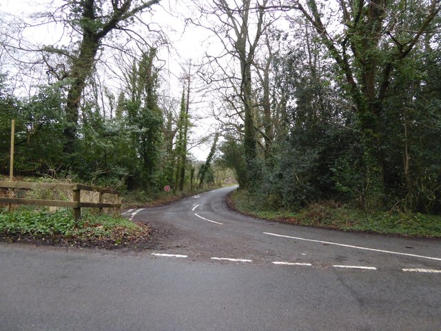
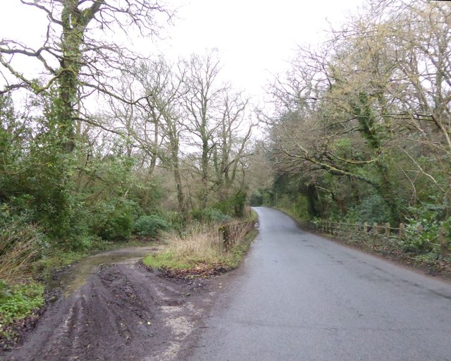
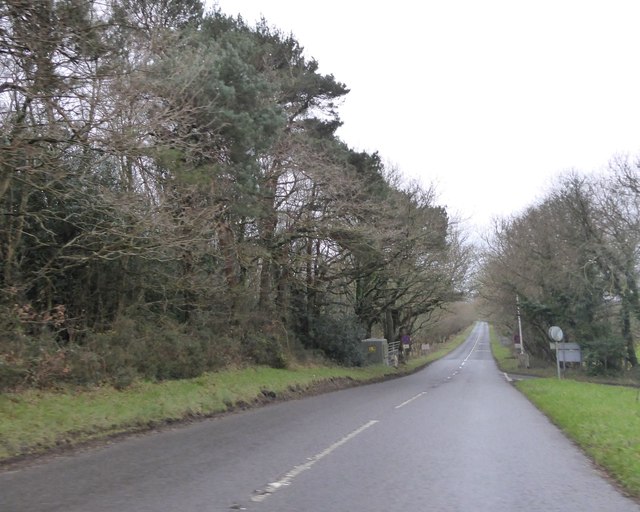
East Holme Images

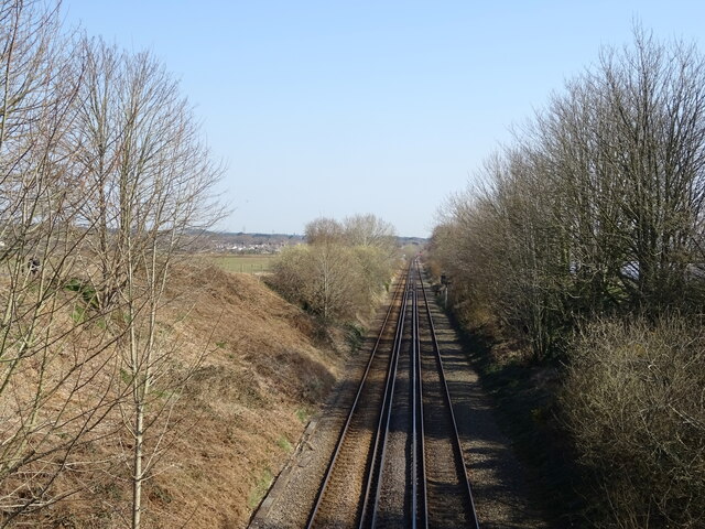
Images are sourced within 2km of 50.672652/-2.1481272 or Grid Reference SY8985. Thanks to Geograph Open Source API. All images are credited.

Grazing towards Rushton Farm
Railway towards Wareham
A351 towards Swanage (9 Miles)
A352 towards Wool
A352 towards Wool
Grazing, Worgret
Grazing, Worgret
A352 towards Wool
A352 towards Wool
Grazing, Worgret
Grazing, Worgret
Puddletown Road
Puddletown Road
Puddletown Road
Puddletown Road
Elizabeth II postbox, Worgret Postbox No. BH20 112.
Elizabeth II postbox, Worgret
Postbox No. BH20 112.
Puddletown Road, Worgret Showing position of Postbox No. BH20 112.
Puddletown Road, Worgret
Showing position of Postbox No. BH20 112.
Wood Carvings for Sale near Worgret Manor This appeared to be a small travellers' camp set up at the side of the A352 close to the roundabout with the Wareham bypass.
Wood Carvings for Sale near Worgret Manor
This appeared to be a small travellers' camp set up at the side of the A352 close to the roundabout with the Wareham bypass.
Old Milestone by the A352, opposite Worgret Manor Farm Carved stone post by the A352, in parish of ARNE (PURBECK District), opposite Worgret Manor Hotel, on rough grass verge against hedge, on North side of road. Erected by the Dorchester & Wool turnpike trust in the 19th century. 

Inscription reads:- : Wareham / 1 : : Dorchester / 16 / Weymouth / 17 : 

Milestone Society National ID: DO_DOWA16.
Old Milestone by the A352, opposite Worgret Manor Farm
Carved stone post by the A352, in parish of ARNE (PURBECK District), opposite Worgret Manor Hotel, on rough grass verge against hedge, on North side of road. Erected by the Dorchester & Wool turnpike trust in the 19th century. Inscription reads:- : Wareham / 1 : : Dorchester / 16 / Weymouth / 17 : Milestone Society National ID: DO_DOWA16.
Track signed to "Foxhound Firing Point" This is a right of way until the edge of the military zone
Track signed to "Foxhound Firing Point"
This is a right of way until the edge of the military zone
Junction for East Holme from Holme Lane
Bridge and ford on Holme Lane
Military flagpole by Holme Lane The training area borders the road here; a gate in the fence beyond the pole gives access to authorised personnel
Military flagpole by Holme Lane
The training area borders the road here; a gate in the fence beyond the pole gives access to authorised personnel
B3070 to West Lulworth A straight road that crosses West Holme Heath
B3070 to West Lulworth
A straight road that crosses West Holme Heath
Show me another place!

East Holme is located at Grid Ref: SY8985 (Lat: 50.672652, Lng: -2.1481272)

Unitary Authority: Dorset

Police Authority: Dorset

What 3 Words

///bungalows.enter.tricycle. Near Wareham, Dorset

Related Wikis

East Holme

East Holme is a small village and civil parish situated about halfway between Wool and Wareham in Dorset, England. The village is sprawled around a large...

Holme Priory

Holme Priory, also known as East Holne Priory, was a priory in Dorset, England. == 12th century == The priory of Holme, or Holne as it was anciently called...

Worgret Heath

Worgret Heath SSSI, Dorset (grid reference SY895871) is an 8.4 hectare biological Site of Special Scientific Interest in Dorset, notified in 1987.The site...

Worgret

Worgret is a hamlet in the English county of Dorset. It is situated immediately to the west of the town of Wareham. Worgret forms part of the civil parish...

Nearby Amenities

Located within 500m of 50.672652,-2.1481272
Ford: yes
Lat/Long: 50.6729779/-2.1487691
Ford: yes
Lat/Long: 50.6709926/-2.1512935
Material: wood
Power: pole
Source: bing
Lat/Long: 50.6693269/-2.1519328
Material: wood
Power: pole
Source: bing
Lat/Long: 50.6704099/-2.1512579
Material: wood
Power: pole
Source: survey
Lat/Long: 50.6716064/-2.1498808
Material: wood
Power: pole
Source: bing
Lat/Long: 50.6722601/-2.1492018
Material: wood
Power: pole
Source: bing
Transformer: distribution
Lat/Long: 50.6727611/-2.1487258
Material: wood
Power: pole
Source: bing
Lat/Long: 50.6729473/-2.1490727
Material: wood
Power: pole
Source: bing
Lat/Long: 50.6733146/-2.1493846
Material: wood
Power: pole
Source: bing
Lat/Long: 50.673703/-2.1494533
Material: wood
Power: pole
Source: bing
Lat/Long: 50.6748568/-2.1526278
Material: wood
Power: pole
Source: bing
Lat/Long: 50.6755789/-2.1523251
Material: wood
Power: pole
Source: bing
Lat/Long: 50.6763068/-2.152008
Material: wood
Power: pole
Source: bing
Lat/Long: 50.6733411/-2.1535377
Material: wood
Power: pole
Source: bing
Lat/Long: 50.6733682/-2.1543385
East Holme
Place: hamlet
Source: NLS - OS 1:25k 1st Series 1937-61
Lat/Long: 50.6741706/-2.1473533
Post Box
Post Box Type: wall
Ref: BH20 91
Ref GB Uprn: 10015348115
Royal Cypher: VR
Royal Cypher Wikidata: Q33102356
Lat/Long: 50.6731418/-2.1494962
Telephone
Booth: K6
Covered: booth
Listed Status: Grade II
Lat/Long: 50.6731572/-2.1494875
Power: pole
Source: bing
Lat/Long: 50.6719875/-2.1503176
Power: pole
Source: bing
Lat/Long: 50.6727219/-2.1522662
Power: pole
Source: bing
Lat/Long: 50.6723598/-2.1512872
Power: pole
Source: bing
Lat/Long: 50.6733304/-2.152859
Power: pole
Source: bing
Lat/Long: 50.6739746/-2.1527705
Crossing
Lat/Long: 50.6727512/-2.1480593
Power: pole
Source: survey
Lat/Long: 50.6700675/-2.1516895
Power: pole
Source: survey
Lat/Long: 50.6709812/-2.1504892
The data included in this document is from www.openstreetmap.org. The data is made available under ODbL.

Have you been to East Holme?

Leave your review of East Holme below (or comments, questions and feedback).