Rock Lea Wood
Wood, Forest in Dorset
England
Rock Lea Wood
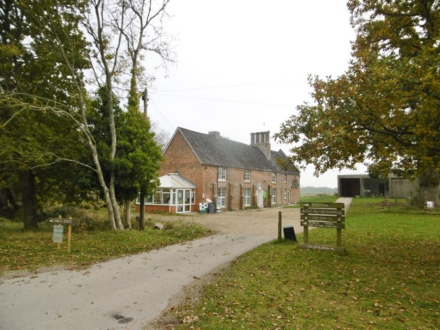
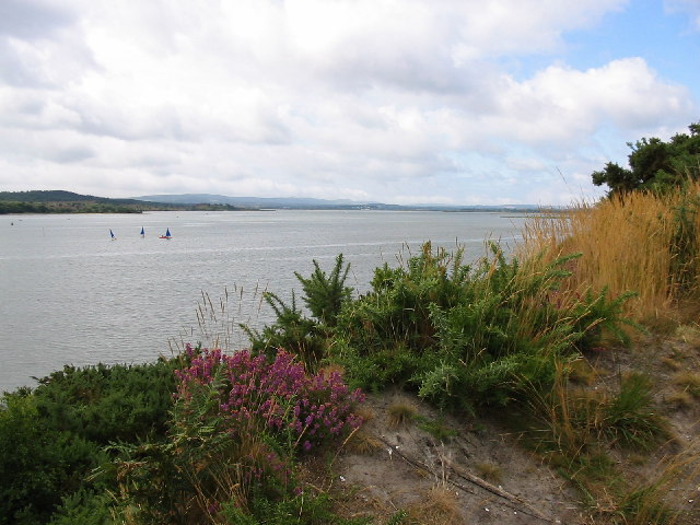
Rock Lea Wood is a picturesque woodland located in the county of Dorset, England. Covering an area of approximately 100 acres, it is situated near the village of Corfe Castle, just a short distance from the stunning Jurassic Coastline. The wood is part of the larger National Trust-owned Purbeck Estate, which comprises a diverse range of habitats including woodlands, heathlands, and agricultural land.
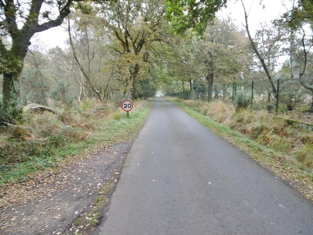
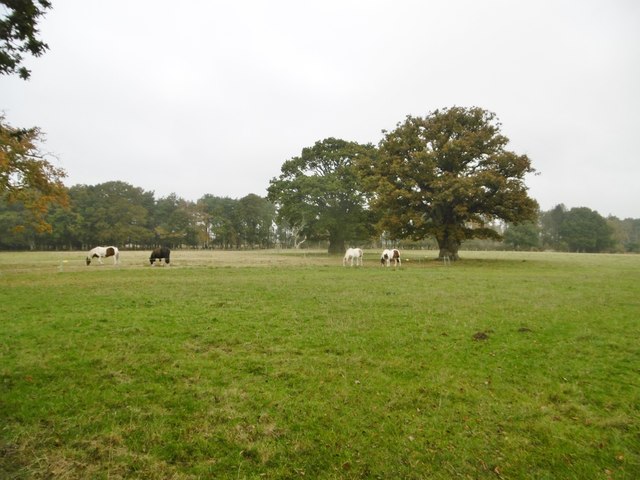
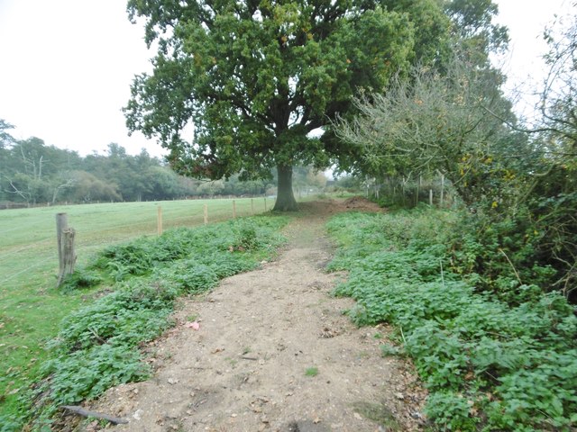
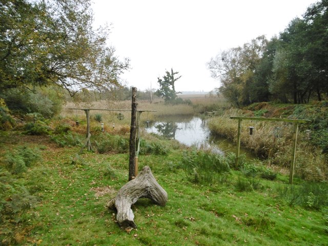
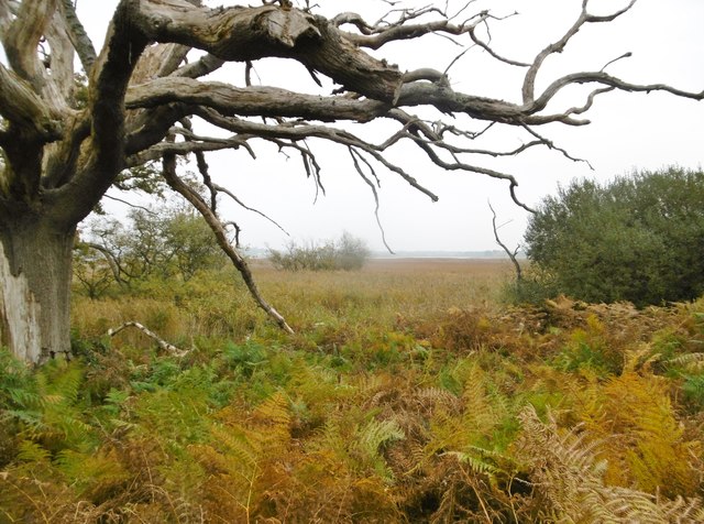
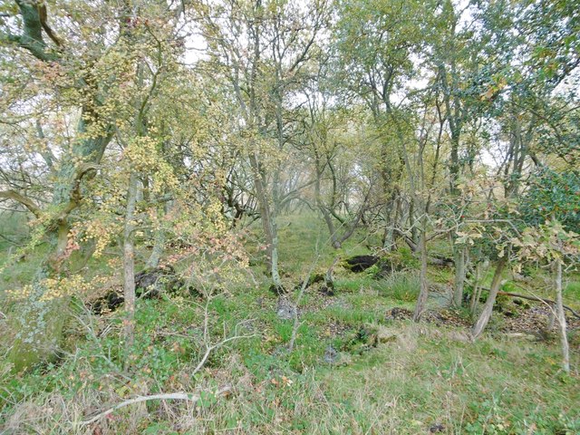
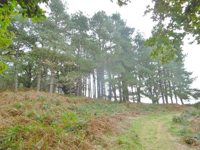
Rock Lea Wood is characterized by its dense canopy of mixed deciduous trees, including oak, beech, and hazel, which provide a rich and diverse habitat for a variety of wildlife. The woodland floor is adorned with an array of vibrant wildflowers, such as bluebells and primroses, creating a stunning display during the spring months.
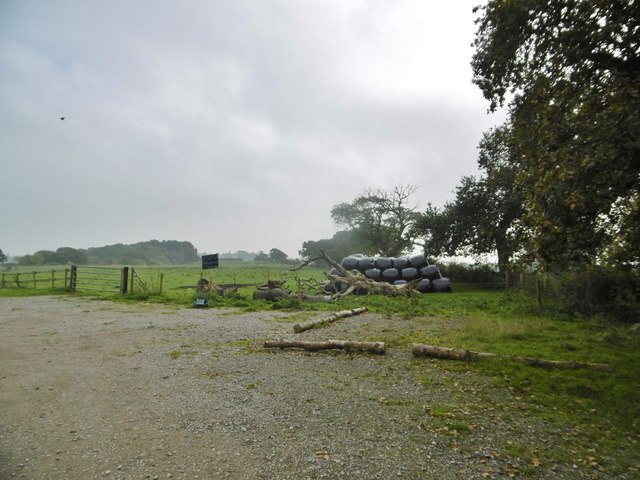
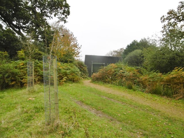
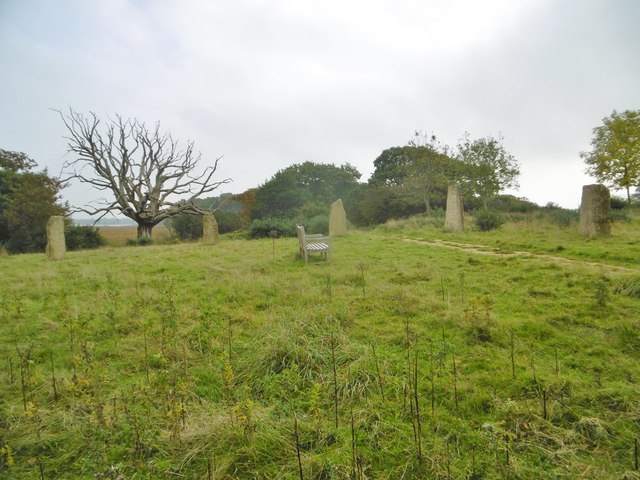
Visitors to Rock Lea Wood can explore its network of well-maintained footpaths and enjoy peaceful walks amidst the tranquil surroundings. The wood offers a range of recreational activities, including nature trails and birdwatching, making it a popular destination for both nature enthusiasts and families alike.
Managed by the National Trust, Rock Lea Wood is an important conservation site, actively involved in preserving and enhancing the local biodiversity. The wood is home to a range of bird species, including the great spotted woodpecker and tawny owl, as well as mammals such as badgers and deer.
Overall, Rock Lea Wood offers a serene and idyllic escape for those seeking to immerse themselves in the beauty of nature. Whether it's a leisurely stroll or a more adventurous exploration, the wood provides a memorable experience for visitors of all ages.
If you have any feedback on the listing, please let us know in the comments section below.
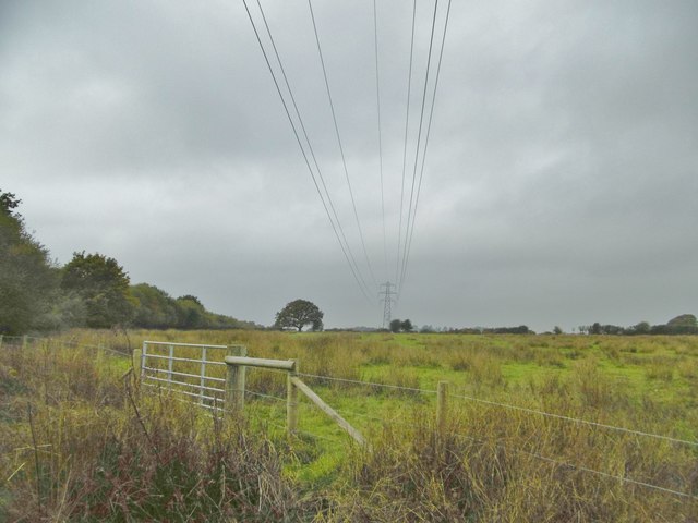
Rock Lea Wood Images
Images are sourced within 2km of 50.721577/-2.0441604 or Grid Reference SY9691. Thanks to Geograph Open Source API. All images are credited.
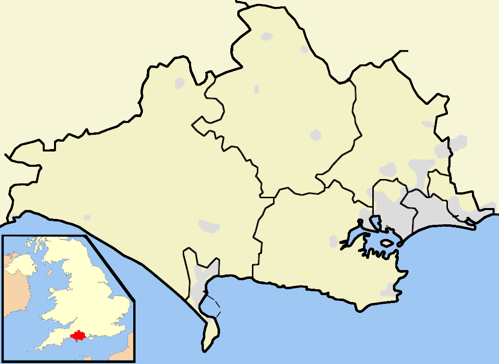
Rock Lea Wood is located at Grid Ref: SY9691 (Lat: 50.721577, Lng: -2.0441604)
Unitary Authority: Dorset
Police Authority: Dorset
What 3 Words
///marble.bikes.newly. Near Poole, Dorset
Nearby Locations
Related Wikis
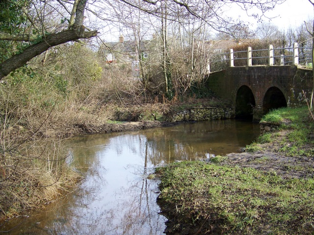
River Sherford
The River Sherford, also frequently called the Sherford River, is one of the four main rivers flowing into Poole Harbour in the county of Dorset, England...
Lytchett Bay
Lytchett Bay is located close to the town of Upton, Dorset, United Kingdom. It is possible to walk from Lytchett Bay to Rockley Park via the shoreline...
Ham Common, Dorset
Ham Common is a Local Nature Reserve at Hamworthy, near Poole, Dorset. Located on the north west shores of Poole Harbour, it is predominantly a heathland...

Turlin Moor
Turlin Moor is a suburb of Poole in Dorset, England, located between Hamworthy and Upton. Turlin Moor is classed as part of the Hamworthy Community and...

RM Poole
Royal Marines Base Poole (RM Poole) is a British naval base located in Hamworthy a suburb of Poole, Dorset, England on the Poole Harbour and is the centre...

Hamworthy Beach
Hamworthy Beach is situated between the Marine Camp and Rockley Sands in Poole Bay, Dorset, known to locals but more difficult to find for outsiders. The...
Hamworthy railway station
Hamworthy railway station serves Hamworthy, an area of Poole in Dorset, England. It is 115 miles 77 chains (186.6 km) down the line from London Waterloo...

Lytchett Minster
Lytchett Minster is a village in Dorset, England. It lies around 4 miles (6.4 km) north-west of Poole town centre. The village forms part of the civil...
Nearby Amenities
Located within 500m of 50.721577,-2.0441604Have you been to Rock Lea Wood?
Leave your review of Rock Lea Wood below (or comments, questions and feedback).