Adela Copse

Wood, Forest in Hampshire East Hampshire

England

Adela Copse

A31 - Near Chawton
A31 - Near Chawton Credit: James Emmans

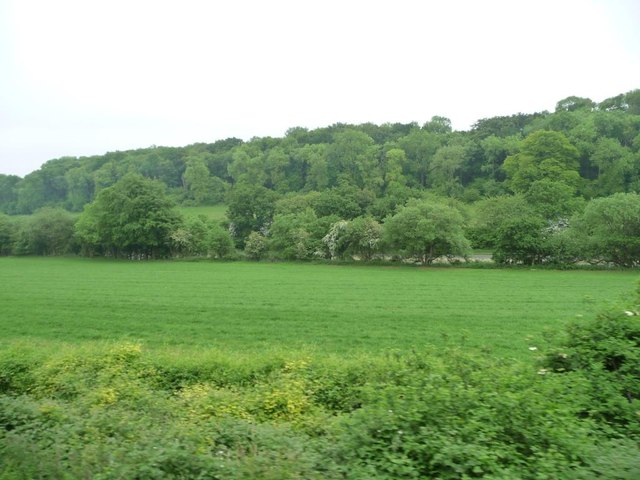
Adela Copse is a picturesque woodland located in Hampshire, England. Situated in the heart of the county, it covers an area of approximately 50 acres, making it a relatively small but charming forest. The copse is named after Adela of Normandy, who was the daughter of William the Conqueror and the wife of King Stephen of England.

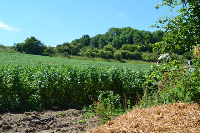
The woodland is predominantly made up of deciduous trees such as oak, beech, and ash, creating a diverse and lush canopy. This mix of tree species provides a rich habitat for a wide range of wildlife, including various bird species, squirrels, and deer. The forest floor is covered with a thick layer of leaf litter, creating a natural carpet that is home to an array of insects and small mammals.

Adela Copse is a popular destination for nature enthusiasts and outdoor enthusiasts alike. It offers several walking trails which wind their way through the forest, allowing visitors to explore its beauty at their own pace. The peaceful atmosphere and tranquil surroundings make it an ideal spot for picnics, wildlife spotting, and photography.

Managed by the Forestry Commission, Adela Copse is well-maintained and carefully preserved. The organization ensures that the woodland remains a sustainable and healthy ecosystem by implementing sustainable forestry practices and managing any potential threats to its biodiversity.

Overall, Adela Copse is a delightful woodland retreat, offering visitors a chance to connect with nature and enjoy the tranquility of the Hampshire countryside.

If you have any feedback on the listing, please let us know in the comments section below.
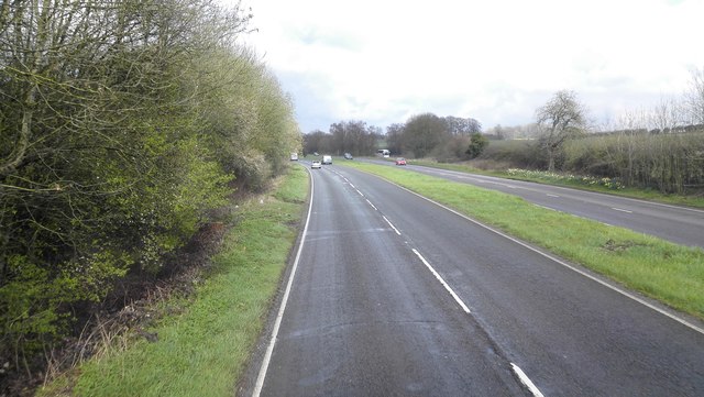
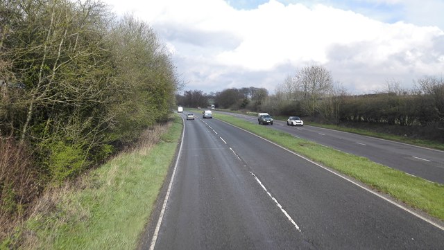
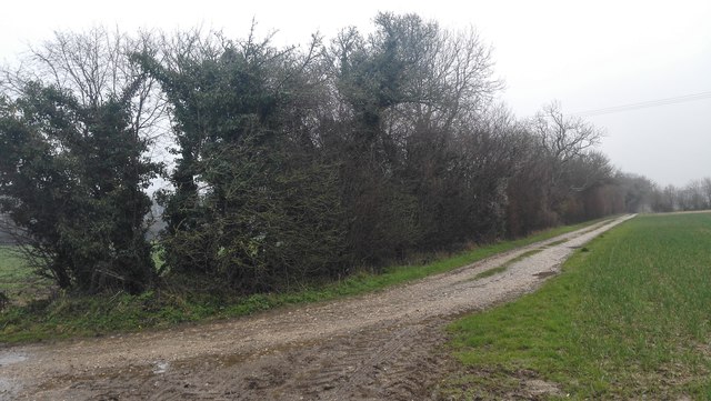
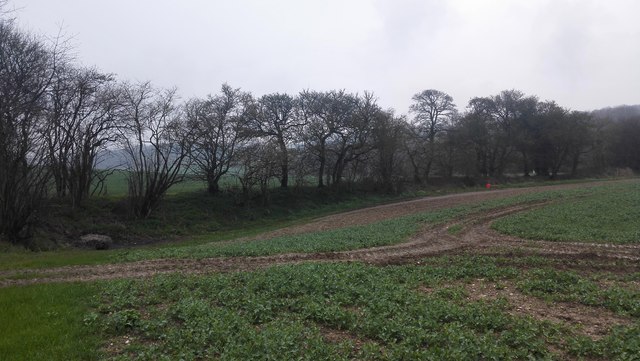
Adela Copse Images

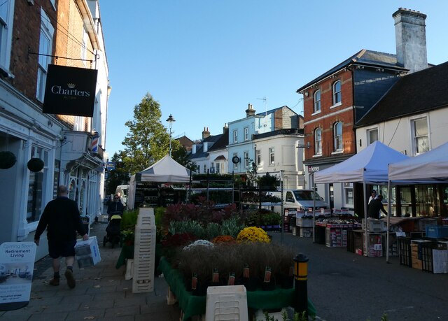
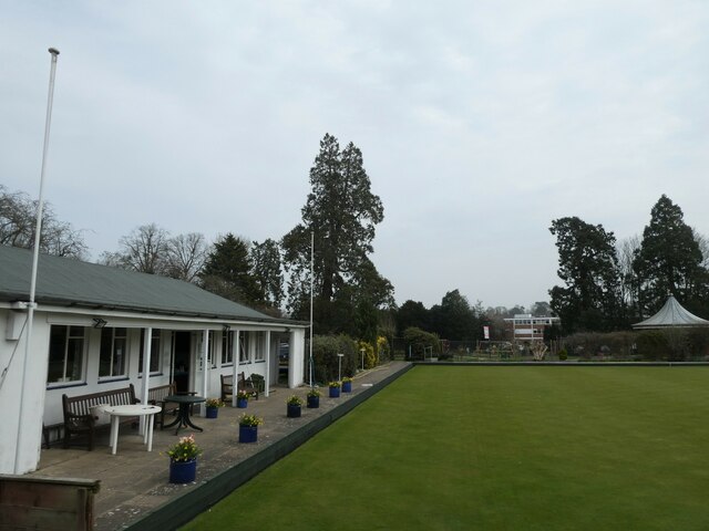
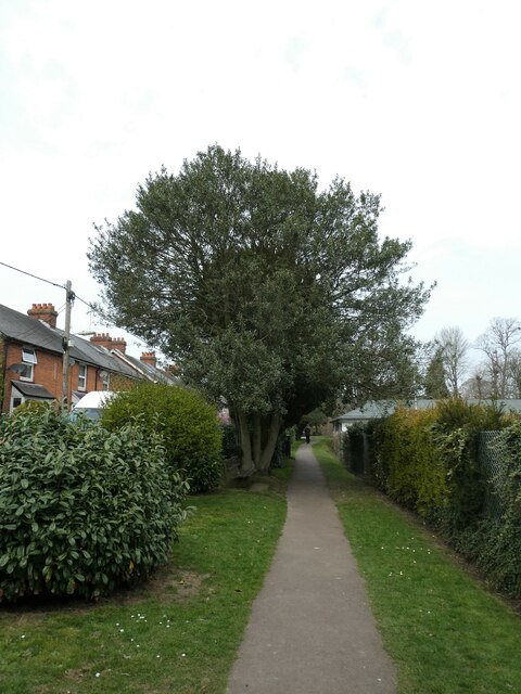
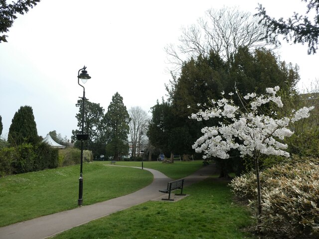
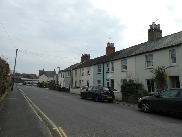
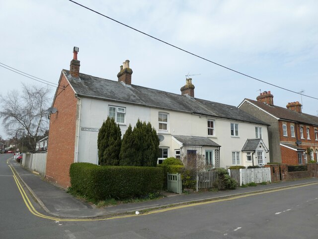
Images are sourced within 2km of 51.130078/-0.98205014 or Grid Reference SU7137. Thanks to Geograph Open Source API. All images are credited.

A31 - Near Chawton
A31 - Near Chawton
A31 - Near Chawton Dual carriageway heading north east, that soon becomes the Alton bypass.
A31 - Near Chawton
Dual carriageway heading north east, that soon becomes the Alton bypass.
Saint Swithun's Way near Lower Farringdon Near Park Cottage.
Saint Swithun's Way near Lower Farringdon
Near Park Cottage.
Field Boundary near Lower Farringdon
Farmland south-east of Beigent's Copse Between the railway line and the A31. The woodland on the hillside is Imbook Copse.
Farmland south-east of Beigent's Copse
Between the railway line and the A31. The woodland on the hillside is Imbook Copse.
Field beside lay-by on the A31
A31 west of Chawton
A31 west of Chawton
Market Day in Alton (a) Markets have been in the existence for many centuries. 
Most Settlements in England at least one outlet for local artisans, tradesmen and farmers. The market often gained a royal charter that gave  sole rights to an area six and two thirds miles as the crow flies from the designated market place. Many famous brands began their commercial ventures in markets. We are often told how much has changed in the last 25 years but some really important things have not. The market is an enduring symbol of the sense of community that communal shopping generates, and the internet cannot.
Market Day in Alton (a)
Markets have been in the existence for many centuries. Most Settlements in England at least one outlet for local artisans, tradesmen and farmers. The market often gained a royal charter that gave sole rights to an area six and two thirds miles as the crow flies from the designated market place. Many famous brands began their commercial ventures in markets. We are often told how much has changed in the last 25 years but some really important things have not. The market is an enduring symbol of the sense of community that communal shopping generates, and the internet cannot.
Market Day in Alton (b)
Spring forward, fall back (38) Bowling Green, The Public Gardens
Spring forward, fall back (38)
Bowling Green, The Public Gardens
Spring forward, fall back (39) Path from Westbrooke Road through the park to the town centre
Spring forward, fall back (39)
Path from Westbrooke Road through the park to the town centre
Spring forward, fall back (40) Spring blossom at the Public Gardens
Spring forward, fall back (40)
Spring blossom at the Public Gardens
Spring forward, fall back (41) Boundary of Rack Close Road and Westbrooke Roads
Spring forward, fall back (41)
Boundary of Rack Close Road and Westbrooke Roads
Spring forward, fall back (42) HNS Day services in Rack House Road
Spring forward, fall back (42)
HNS Day services in Rack House Road
Spring forward, fall back (43) Telegraph pole in Rack Close Road
Spring forward, fall back (43)
Telegraph pole in Rack Close Road
Spring forward, fall back (44) Crossroads of Ackender Road and Rack Close Road
Spring forward, fall back (44)
Crossroads of Ackender Road and Rack Close Road
Spring forward, fall back (45) Looking south-east in Ackender Road
Spring forward, fall back (45)
Looking south-east in Ackender Road
Spring forward, fall back (46) Houses at the junction of  Road and Ackender Road
Spring forward, fall back (46)
Houses at the junction of Road and Ackender Road
Show me another place!

Adela Copse is located at Grid Ref: SU7137 (Lat: 51.130078, Lng: -0.98205014)

Administrative County: Hampshire

District: East Hampshire

Police Authority: Hampshire

What 3 Words

///windpipe.unzipped.outwards. Near Alton, Hampshire

Related Wikis

Chawton

Chawton is a village and civil parish in the East Hampshire district of Hampshire, England. The village lies within the South Downs National Park and is...

Jane Austen's House Museum

Jane Austen's House Museum is a small independent museum in the village of Chawton near Alton in Hampshire. It is a writer's house museum occupying the...

Butts Junction

Butts Junction was a railway junction located in Alton in Hampshire, England. The junction was the location at which the Basingstoke and Alton Light Railway...

Treloar's Hospital Platform railway station

Treloar's Hospital Platform (also known as Alton Park and Cripples' Home Siding) was a railway station which served Lord Mayor Treloar's hospital in Alton...

All Saints' Church, Alton

All Saints' Church is an Anglican church in Alton, Hampshire, England. It is a Grade II listed building by English Heritage.

Massey's Folly

Massey's Folly was built by Thomas Hacket Massey who served as rector in Farringdon village in Hampshire for 62 years. The folly took thirty years to build...
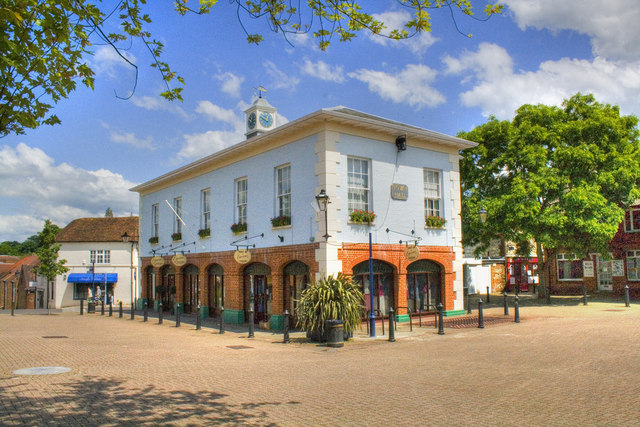
Alton Town Hall

Alton Town Hall is a municipal building in the Market Square in Alton, Hampshire, England. The structure, which is the meeting place of Alton Town Council...

Farringdon, Hampshire

Farringdon is a village in the East Hampshire district of Hampshire in England. The village is 2.8 miles (4.5 km) south of Alton, on the A32 road, close...

Nearby Amenities

Located within 500m of 51.130078,-0.98205014
Barrier: stile
Lat/Long: 51.1322674/-0.9768355
Barrier: stile
Lat/Long: 51.1325797/-0.9790673
Barrier: stile
Lat/Long: 51.1329288/-0.9803376
Barrier: stile
Lat/Long: 51.1335963/-0.981706
Barrier: stile
Lat/Long: 51.1340114/-0.9823986
Eastfield Farm
Place: farm
Source: Bing
Lat/Long: 51.133347/-0.9825307
The Oast House
Place: isolated_dwelling
Source: Bing
Lat/Long: 51.1275633/-0.9832956
The data included in this document is from www.openstreetmap.org. The data is made available under ODbL.

Have you been to Adela Copse?

Leave your review of Adela Copse below (or comments, questions and feedback).