Mingledown Plantation

Wood, Forest in Hampshire East Hampshire

England

Mingledown Plantation

A31 - Near Chawton
A31 - Near Chawton Credit: James Emmans

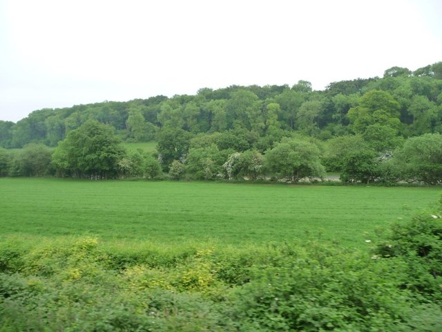
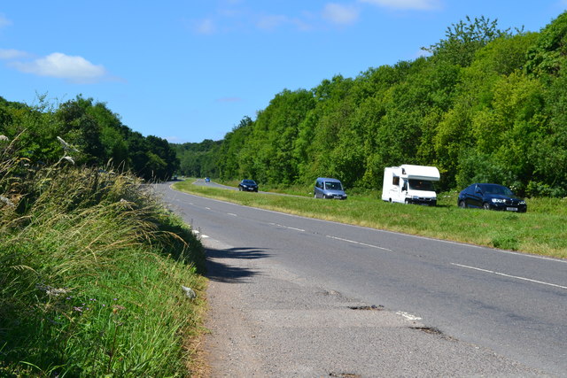
Mingledown Plantation is a picturesque woodland area located in Hampshire, England. Situated in the heart of the Hampshire countryside, this sprawling forest offers a tranquil escape from the hustle and bustle of nearby towns and cities. Covering an area of approximately 500 acres, Mingledown Plantation is a haven for nature enthusiasts and outdoor adventurers alike.

The woodland is primarily composed of a mix of deciduous and evergreen trees, creating a diverse and vibrant ecosystem. Visitors can expect to see species such as oak, beech, birch, and pine, providing a stunning backdrop throughout the seasons. The forest floor is also home to a myriad of wildflowers and ferns, adding to the beauty and biodiversity of the area.

Mingledown Plantation offers a variety of walking trails, ranging from easy strolls to more challenging hikes, catering to all levels of fitness and ability. These well-maintained paths wind through the woodland, offering glimpses of wildlife such as deer, squirrels, and a wide array of bird species. Along the way, visitors can also find designated picnic areas, allowing them to pause and enjoy the peaceful surroundings.

For those interested in history, Mingledown Plantation has a rich past. The woodland was historically used for timber production, and remnants of old sawmills and logging operations can still be found scattered throughout the area. Additionally, the plantation has been carefully managed for conservation purposes, ensuring the preservation of its natural beauty for future generations to enjoy.

Overall, Mingledown Plantation is a place of tranquility and natural beauty. Whether it's a leisurely walk, a family picnic, or a chance to immerse oneself in the wonders of nature, this Hampshire woodland offers a delightful escape for all who visit.

If you have any feedback on the listing, please let us know in the comments section below.

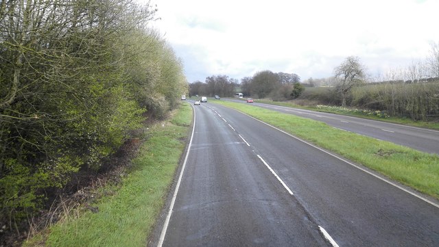
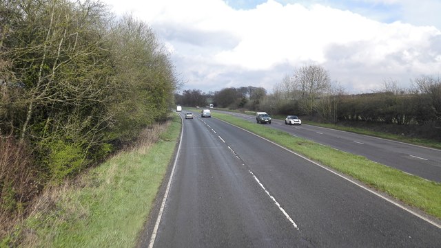
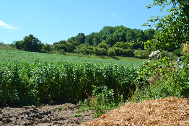
Mingledown Plantation Images

Images are sourced within 2km of 51.132883/-0.98407512 or Grid Reference SU7137. Thanks to Geograph Open Source API. All images are credited.

A31 - Near Chawton
A31 - Near Chawton
A31 - Near Chawton Dual carriageway heading north east, that soon becomes the Alton bypass.
A31 - Near Chawton
Dual carriageway heading north east, that soon becomes the Alton bypass.
Farmland south-east of Beigent's Copse Between the railway line and the A31. The woodland on the hillside is Imbook Copse.
Farmland south-east of Beigent's Copse
Between the railway line and the A31. The woodland on the hillside is Imbook Copse.
Field beside lay-by on the A31
A31 west of Chawton
A31 west of Chawton
Market Day in Alton (a) Markets have been in the existence for many centuries. 
Most Settlements in England at least one outlet for local artisans, tradesmen and farmers. The market often gained a royal charter that gave  sole rights to an area six and two thirds miles as the crow flies from the designated market place. Many famous brands began their commercial ventures in markets. We are often told how much has changed in the last 25 years but some really important things have not. The market is an enduring symbol of the sense of community that communal shopping generates, and the internet cannot.
Market Day in Alton (a)
Markets have been in the existence for many centuries. Most Settlements in England at least one outlet for local artisans, tradesmen and farmers. The market often gained a royal charter that gave sole rights to an area six and two thirds miles as the crow flies from the designated market place. Many famous brands began their commercial ventures in markets. We are often told how much has changed in the last 25 years but some really important things have not. The market is an enduring symbol of the sense of community that communal shopping generates, and the internet cannot.
Market Day in Alton (b)
Alton- can you bear to visit? (taken in Westbrook Walk)
Alton- can you bear to visit?
(taken in Westbrook Walk)
Spring forward, fall back (8) Footpath at the top of the Floof Meadow
Spring forward, fall back (8)
Footpath at the top of the Floof Meadow
Spring forward, fall back (9) Houses at the bottom of Wentworth Gardens
Spring forward, fall back (9)
Houses at the bottom of Wentworth Gardens
Spring forward, fall back (10) The Flood Meadow- top end
Spring forward, fall back (10)
The Flood Meadow- top end
Spring forward, fall back (11) Looking down the Flood Meadow
Spring forward, fall back (11)
Looking down the Flood Meadow
Spring forward, fall back (12) The Flood Meadow
Spring forward, fall back (12)
The Flood Meadow
Spring forward, fall back (13) Alton Flood Meadow
Spring forward, fall back (13)
Alton Flood Meadow
Spring forward, fall back (14) The Flood Meadows
Spring forward, fall back (14)
The Flood Meadows
Spring forward, fall back (15) Stream that becomes the River Wey
Spring forward, fall back (15)
Stream that becomes the River Wey
Spring forward, fall back (16) Entrance to the Flood Meadows
Spring forward, fall back (16)
Entrance to the Flood Meadows
Spring forward, fall back (17) Footpath from The Flood Meadows to the Basingstoke Road
Spring forward, fall back (17)
Footpath from The Flood Meadows to the Basingstoke Road
Show me another place!

Mingledown Plantation is located at Grid Ref: SU7137 (Lat: 51.132883, Lng: -0.98407512)

Administrative County: Hampshire

District: East Hampshire

Police Authority: Hampshire

What 3 Words

///casually.petrified.pickup. Near Alton, Hampshire

Related Wikis

Chawton

Chawton is a village and civil parish in the East Hampshire district of Hampshire, England. The village lies within the South Downs National Park and is...

Jane Austen's House Museum

Jane Austen's House Museum is a small independent museum in the village of Chawton near Alton in Hampshire. It is a writer's house museum occupying the...

Butts Junction

Butts Junction was a railway junction located in Alton in Hampshire, England. The junction was the location at which the Basingstoke and Alton Light Railway...

Treloar's Hospital Platform railway station

Treloar's Hospital Platform (also known as Alton Park and Cripples' Home Siding) was a railway station which served Lord Mayor Treloar's hospital in Alton...

All Saints' Church, Alton

All Saints' Church is an Anglican church in Alton, Hampshire, England. It is a Grade II listed building by English Heritage.
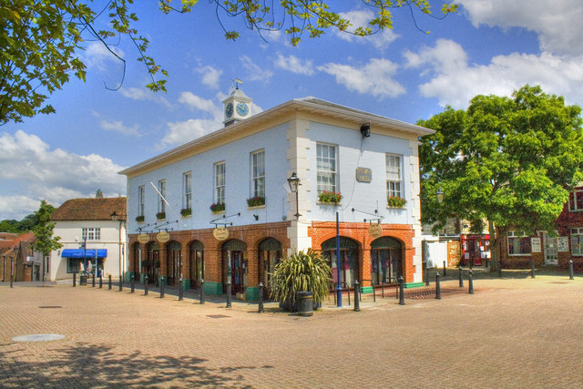
Alton Town Hall

Alton Town Hall is a municipal building in the Market Square in Alton, Hampshire, England. The structure, which is the meeting place of Alton Town Council...

Alton, Hampshire

Alton ( AWL-tən) is a market town and civil parish in the East Hampshire district of Hampshire, England, near the source of the River Wey. It had a population...

Curtis Museum

The Curtis Museum in Alton, is a local history museum in Hampshire, England. The museum was founded in 1865 by Dr William Curtis (1803–1881). In 2014,...

Related Videos

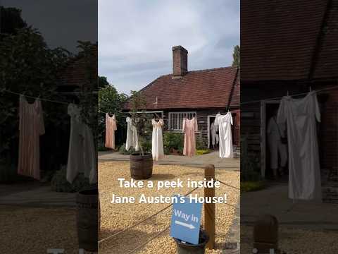
Visit Jane Austen’s House in England #shortsclip #england #janeausten #literature #british #author

Did you know that you can visit Jane Austen's house in Chawton, England? We came here on a half-day trip from Bath on a ...

Following Jane 🏴󠁧󠁢󠁥󠁮󠁧󠁿 4K England Travel Vlog Walking Tour | Chawton House, Salisbury, Steventon

In this video, we explore the final stop of the Jane Austen Society of North America (JASNA) spring tour of England. We explored ...

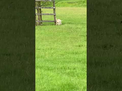
Baby lambs frolicking! #cutenessoverload

Baby lambs frolicking on the grounds of Chawton House, where Jane Austen's brother lived and where she spent a great deal of ...

Nearby Amenities

Located within 500m of 51.132883,-0.98407512
Motorway Junction
Lat/Long: 51.1368938/-0.9833094
Chawton
Is In: Hampshire, England, UK
Place: village
Source: npe
Lat/Long: 51.133963/-0.9885059
Barrier: stile
Lat/Long: 51.1325797/-0.9790673
Barrier: stile
Lat/Long: 51.1329288/-0.9803376
Barrier: stile
Lat/Long: 51.1335963/-0.981706
Bus Stop
Chawton (the Greyfriar Ph)
Naptan AtcoCode: 1900HA020305
Naptan Bearing: N
Naptan CommonName: Chawton (the Greyfriar Ph)
Naptan Landmark: Jane Austen's House
Naptan NaptanCode: hamgmamj
Naptan Street: Winchester Road
Naptan Verified: no
Source: naptan_import
Lat/Long: 51.1331727/-0.9887785
Bus Stop
Chawton (the Greyfriar Ph)
Naptan AtcoCode: 1900HA020306
Naptan Bearing: S
Naptan CommonName: Chawton (the Greyfriar Ph)
Naptan Landmark: Jane Austen's House
Naptan NaptanCode: hamgmamw
Naptan Street: Winchester Road
Naptan Verified: no
Source: naptan_import
Lat/Long: 51.133136/-0.9886936
Bus Stop
Chawton By-pass
Bus: yes
Naptan AtcoCode: 1900HA020307
Naptan Bearing: W
Naptan CommonName: Chawton By-pass
Naptan NaptanCode: hamgmatj
Naptan Street: A31
Naptan Verified: no
Public Transport: platform
Source: naptan_import
Lat/Long: 51.1361142/-0.9878424
Bus Stop
Chawton By-pass
Bus: yes
Naptan AtcoCode: 1900HA020308
Naptan Bearing: E
Naptan CommonName: Chawton By-pass
Naptan NaptanCode: hamgmdgj
Naptan Street: A31
Naptan Verified: no
Public Transport: platform
Source: naptan_import
Lat/Long: 51.1367378/-0.9861278
Bus Stop
Eastfields Estate
Naptan AtcoCode: 1900HA020309
Naptan Bearing: W
Naptan CommonName: Eastfields Estate
Naptan NaptanCode: hamgmdjm
Naptan Street: Wolf's Lane
Naptan Verified: no
Source: naptan_import
Lat/Long: 51.135487/-0.9849974
Bus Stop
Eastfields Estate
Naptan AtcoCode: 1900HA020310
Naptan Bearing: E
Naptan CommonName: Eastfields Estate
Naptan NaptanCode: hamgmdjp
Naptan Street: Wolf's Lane
Naptan Verified: no
Source: naptan_import
Lat/Long: 51.1355409/-0.9849962
Post Box
Collection Plate: CP7
Collection Times: Mo-Fr 17:00; Sa 10:30
Last Checked: 2021-08-08
Operator: Royal Mail
Operator Wikidata: Q638098
Post Box Type: lamp
Ref: GU34 9
Royal Cypher: EIIR
Royal Cypher Wikidata: Q33102113
Source: survey
Lat/Long: 51.1330134/-0.9888216
Post Box
Collection Plate: CP7D
Collection Times: Mo-Fr 09:00; Sa 07:00
Last Checked: 2021-08-08
Note: This postbox is of a brand new (2010s) EIIR lamp design.
Old Ref: GU34 77
Operator: Royal Mail
Operator Wikidata: Q638098
Post Box Type: lamp
Ref: GU34 77D
Royal Cypher: EIIR
Royal Cypher Wikidata: Q33102113
Source: survey
Lat/Long: 51.1368038/-0.9867144
Parking
Lat/Long: 51.1326735/-0.9884797
Bench
Lat/Long: 51.1308171/-0.9901806
Barrier: stile
Lat/Long: 51.131365/-0.990767
Leisure: playground
Lat/Long: 51.1325013/-0.9887789
Bench
Lat/Long: 51.1327709/-0.9890022
Bench
Lat/Long: 51.1329763/-0.9892233
Barrier: stile
Lat/Long: 51.1340114/-0.9823986
Toilets
Check Date: 2023-04-08
Lat/Long: 51.1333418/-0.9892598
Bicycle Parking
Capacity: 4
Covered: no
Lat/Long: 51.1330377/-0.9885059
Bench
Lat/Long: 51.1327459/-0.9892672
Eastfield Farm
Place: farm
Source: Bing
Lat/Long: 51.133347/-0.9825307
Give Way
Direction: forward
Source: Bing
Lat/Long: 51.1353997/-0.9874768
Give Way
Direction: backward
Source: Bing
Lat/Long: 51.1353672/-0.98741
Barrier: cycle_barrier
Lat/Long: 51.136652/-0.9868537
Turning Loop
Lat/Long: 51.1342917/-0.989382
The data included in this document is from www.openstreetmap.org. The data is made available under ODbL.

Have you been to Mingledown Plantation?

Leave your review of Mingledown Plantation below (or comments, questions and feedback).