Cucumber Plantation

Wood, Forest in Oxfordshire South Oxfordshire

England

Cucumber Plantation

Direction Sign – Signpost on the B481, Sonning Common Located on the southwest side of the crossroads of the B481 Peppard Road and Bird in Hand Lane, opposite The Bird in Hand public house in Sonning Common parish. 4 arms and annulus finial. See also <a title="https://www.geograph.org.uk/photo/4070130" href="https://www.geograph.org.uk/photo/4070130">Link</a> and <a title="https://www.geograph.org.uk/photo/4070122" href="https://www.geograph.org.uk/photo/4070122">Link</a>.

Milestone Society National ID: OX_SU7179
Direction Sign – Signpost on the B481, Sonning Common Credit: John V Nicholls

Cucumber Plantation is a sprawling woodland located in Oxfordshire, England. Covering an area of approximately 200 acres, it is a lush and diverse forest that is known for its abundant cucumber plants. The plantation is situated in a picturesque setting, surrounded by rolling hills and scenic landscapes.

The plantation is home to a variety of cucumber species, with rows upon rows of cucumber plants stretching as far as the eye can see. The plants are meticulously cared for, with expert horticulturists tending to their needs throughout the year. The fertile soil and ideal climate of Oxfordshire provide the perfect conditions for these plants to thrive.

Visitors to Cucumber Plantation can enjoy leisurely walks through the forest, taking in the sights and sounds of nature. The air is filled with the fresh scent of cucumbers, adding to the unique experience. The plantation also offers guided tours, allowing visitors to learn about the cultivation techniques used and the history of cucumber farming in the region.

In addition to the cucumber plants, the woodland is teeming with a wide range of flora and fauna. Native tree species such as oak, beech, and birch can be found throughout the plantation, providing a habitat for various bird species and small mammals.

Cucumber Plantation is not only a working farm but also a place of natural beauty and tranquility. It offers a unique opportunity to immerse oneself in the world of cucumber cultivation while enjoying the peaceful surroundings of Oxfordshire's woodlands.

If you have any feedback on the listing, please let us know in the comments section below.

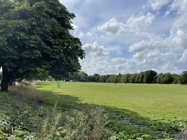
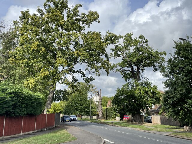
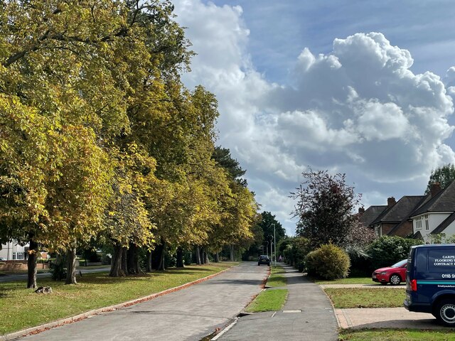
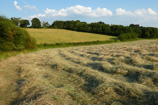
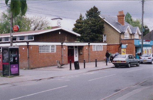
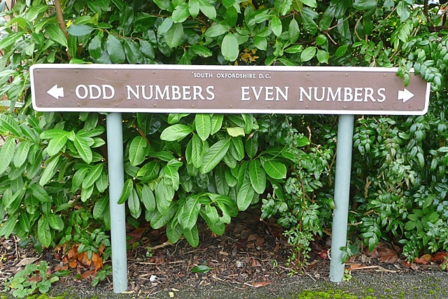
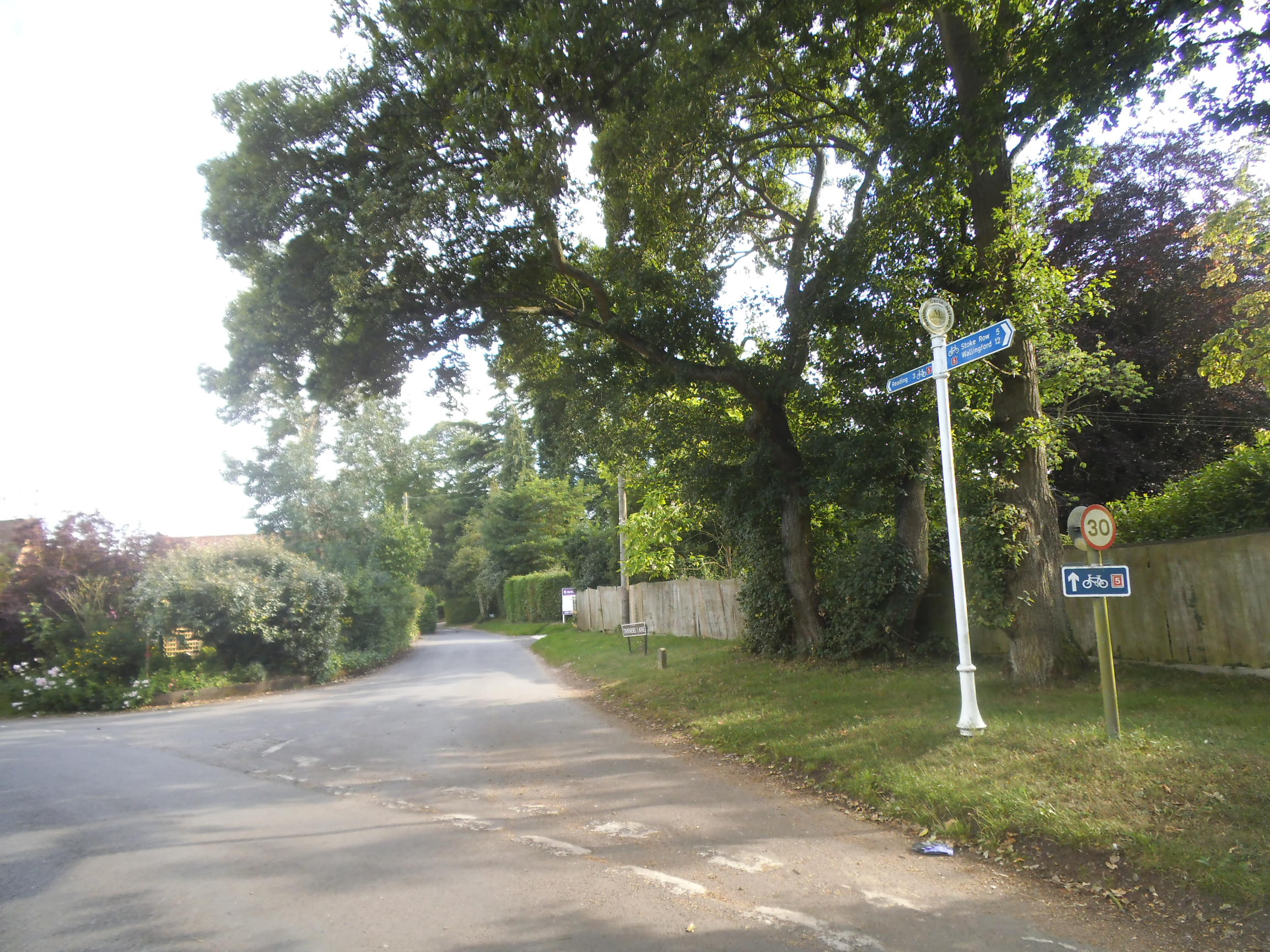
Cucumber Plantation Images

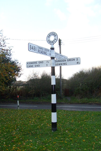
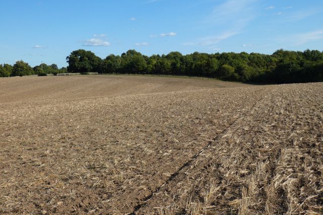
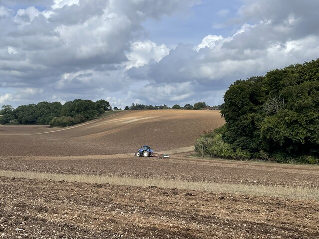
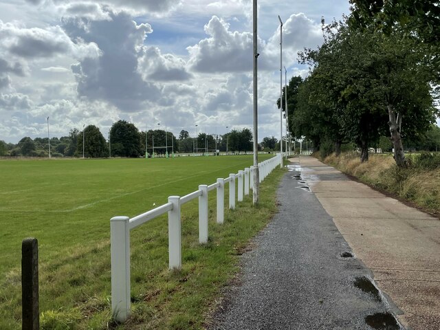
Images are sourced within 2km of 51.503789/-0.97394865 or Grid Reference SU7178. Thanks to Geograph Open Source API. All images are credited.

Direction Sign – Signpost on the B481, Sonning Common Located on the southwest side of the crossroads of the B481 Peppard Road and Bird in Hand Lane, opposite The Bird in Hand public house in Sonning Common parish. 4 arms and annulus finial. See also <a title="https://www.geograph.org.uk/photo/4070130" href="https://www.geograph.org.uk/photo/4070130">Link</a> and <a title="https://www.geograph.org.uk/photo/4070122" href="https://www.geograph.org.uk/photo/4070122">Link</a>.

Milestone Society National ID: OX_SU7179
Direction Sign – Signpost on the B481, Sonning Common
Located on the southwest side of the crossroads of the B481 Peppard Road and Bird in Hand Lane, opposite The Bird in Hand public house in Sonning Common parish. 4 arms and annulus finial. See also Link and Link. Milestone Society National ID: OX_SU7179
Farmland, Binfield Heath The footpath between Bishopsland and Crowsley follows the edge of this field of barley.
Farmland, Binfield Heath
The footpath between Bishopsland and Crowsley follows the edge of this field of barley.
Farmland, Kidmore End
Farmland, Sonning Common
Farmland, Dunsden
Farmland, Dunsden
Ploughing the headland, Sonning Common Looking north-east from Peppard Road towards the corner of Young Wood.
Ploughing the headland, Sonning Common
Looking north-east from Peppard Road towards the corner of Young Wood.
Ploughing the headland, Sonning Common Looking north-east from Peppard Road towards the corner of Young Wood.
Ploughing the headland, Sonning Common
Looking north-east from Peppard Road towards the corner of Young Wood.
Driveway to Reading Abbey Rugby Club
Rugby pitches, Reading Abbey Rugby Club
Oak trees on Peppard Road, Emmer Green Looking north from the entrance to Rosehill Park.
Oak trees on Peppard Road, Emmer Green
Looking north from the entrance to Rosehill Park.
Trees lining Peppard Road, Emmer Green Looking south along the access road from Rosehill Park.
Trees lining Peppard Road, Emmer Green
Looking south along the access road from Rosehill Park.
Farmland, Kidmore End With cut hay in the dry valley between Tokers Green and Chalkhouse Green.
Farmland, Kidmore End
With cut hay in the dry valley between Tokers Green and Chalkhouse Green.
Sonning Common The centre of this sprawling commuter village.  There is no obvious connection with the village of Sonning on the Thames, 8km to the south-east
Sonning Common
The centre of this sprawling commuter village. There is no obvious connection with the village of Sonning on the Thames, 8km to the south-east
Harvest over. Blounts farm to the east of Sonning Common.
Harvest over.
Blounts farm to the east of Sonning Common.
Looking North East
Looking North East
Crowsley Park
Crowsley Park
Catholic church of St Michael, Sonning Common On Peppard Road, B481, which bypasses the main village.  The footpath to the right leads to Woodlands Avenue and the village centre.
Catholic church of St Michael, Sonning Common
On Peppard Road, B481, which bypasses the main village. The footpath to the right leads to Woodlands Avenue and the village centre.
Odd numbers : Even numbers Sedgefield Close of course.  Somehow at the time this sign just seemed odd.  Even now it still does.
Odd numbers : Even numbers
Sedgefield Close of course. Somehow at the time this sign just seemed odd. Even now it still does.
Show me another place!

Cucumber Plantation is located at Grid Ref: SU7178 (Lat: 51.503789, Lng: -0.97394865)

Administrative County: Oxfordshire

District: South Oxfordshire

Police Authority: Thames Valley

What 3 Words

///tank.emotional.yard. Near Sonning Common, Oxfordshire

Related Wikis

Chalkhouse Green

Chalkhouse Green is a village in Oxfordshire, England. The village is approximately 3 miles (4.8 km) north of Reading, at an average elevation of 83 metres...

Kidmore House

Kidmore House is a Grade II* listed stately home in the village of Kidmore End, in Oxfordshire, England.It was built in 1680 and is described by Historic...

Sonning Common

Sonning Common is a village and civil parish in a relatively flat, former common land part of the Chiltern Hills in South Oxfordshire, centred 3.5 miles...

Reading Abbey R.F.C.

Reading Abbey R.F.C is an English rugby union club. Although the club is named after, and historically connected with, the Berkshire town of Reading, it...

Kidmore End

Kidmore End is a village and civil parish in South Oxfordshire, centred 6 miles (10 km) NNW of Reading, Berkshire, an important regional centre of commerce...

Maiden Erlegh Chiltern Edge

Maiden Erlegh Chiltern Edge (formerly Chiltern Edge Community School) is a coeducational secondary school located in Sonning Common, Oxfordshire, England...

Crowsley Park

Crowsley Park is a 160-acre (65 ha) country estate in South Oxfordshire, central-southern England, owned by the British Broadcasting Corporation (BBC)...

1947 Thames flood

The 1947 Thames flood was the most severe flood of the River Thames in the 20th century, affecting much of the Thames Valley as well as elsewhere in England...

Nearby Amenities

Located within 500m of 51.503789,-0.97394865
Created By: osmeditor2
Lat/Long: 51.5025245/-0.9672878
Created By: osmeditor2
Lat/Long: 51.5076416/-0.9743346
Maxspeed: 30 mph
Traffic Sign: maxspeed
Lat/Long: 51.5077412/-0.9705721
Created By: osmeditor2
Lat/Long: 51.5048916/-0.9702721
Barrier: kissing_gate
Foot: yes
Lat/Long: 51.5016035/-0.9738557
Barrier: kissing_gate
Foot: yes
Lat/Long: 51.507172/-0.9775375
Bus Stop
Bird in Hand Turn
Bench: no
Bin: no
Lit: no
Naptan AtcoCode: 340003251OPP
Naptan Bearing: NW
Naptan CommonName: Bird in Hand Turn
Naptan Indicator: Opposite
Naptan Landmark: The Ramblers
Naptan NaptanCode: oxfatjwa
Naptan Street: Kennylands Road
Naptan Verified: no
Shelter: no
Source: naptan_import
Tactile Paving: no
Lat/Long: 51.5055334/-0.971033
Bus Stop
Bird in Hand Turn
Bench: no
Bin: no
Lit: no
Naptan AtcoCode: 340003251OUT
Naptan Bearing: SE
Naptan CommonName: Bird in Hand Turn
Naptan Indicator: Outside
Naptan Landmark: The Ramblers
Naptan NaptanCode: oxfawjpg
Naptan Street: Kennylands Road
Naptan Verified: no
Shelter: no
Source: naptan_import
Tactile Paving: no
Lat/Long: 51.5053325/-0.9706773
Traffic Sign: maxspeed
Lat/Long: 51.5068202/-0.9688299
Barrier: kissing_gate
Foot: yes
Lat/Long: 51.5005668/-0.976365
Barrier: kissing_gate
Foot: yes
Lat/Long: 51.5072335/-0.9735481
Natural: sinkhole
Lat/Long: 51.5046433/-0.9734313
The data included in this document is from www.openstreetmap.org. The data is made available under ODbL.

Have you been to Cucumber Plantation?

Leave your review of Cucumber Plantation below (or comments, questions and feedback).