Chalkhouse Green

Settlement in Oxfordshire South Oxfordshire

England

Chalkhouse Green

Direction Sign – Signpost on the B481, Sonning Common Located on the southwest side of the crossroads of the B481 Peppard Road and Bird in Hand Lane, opposite The Bird in Hand public house in Sonning Common parish. 4 arms and annulus finial. See also <a title="https://www.geograph.org.uk/photo/4070130" href="https://www.geograph.org.uk/photo/4070130">Link</a> and <a title="https://www.geograph.org.uk/photo/4070122" href="https://www.geograph.org.uk/photo/4070122">Link</a>.

Milestone Society National ID: OX_SU7179
Direction Sign – Signpost on the B481, Sonning Common Credit: John V Nicholls

Chalkhouse Green is a charming village located in Oxfordshire, England. Situated approximately six miles north of the historic town of Reading, it is nestled in the heart of the picturesque Chiltern Hills.

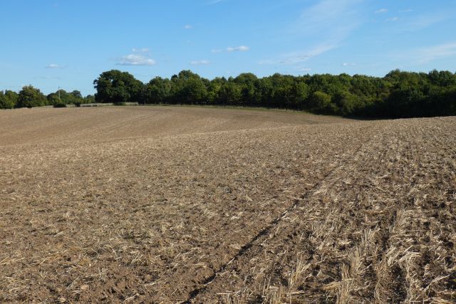
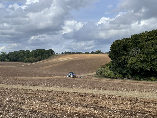
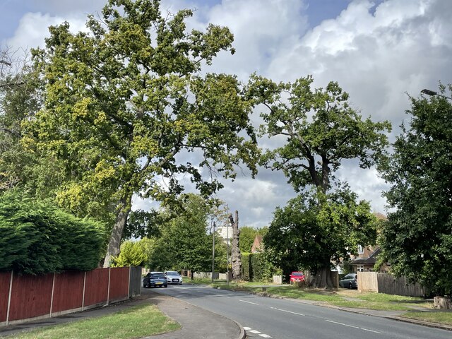
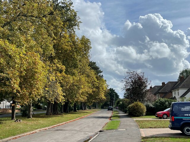
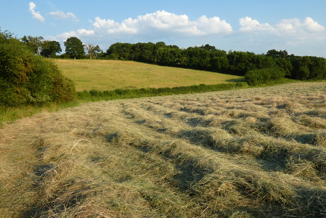
The village is renowned for its idyllic countryside setting, with rolling green fields and wooded areas surrounding the area. Chalkhouse Green is popular among nature enthusiasts and outdoor lovers, offering plenty of opportunities for walking, hiking, and exploring the beautiful landscape.

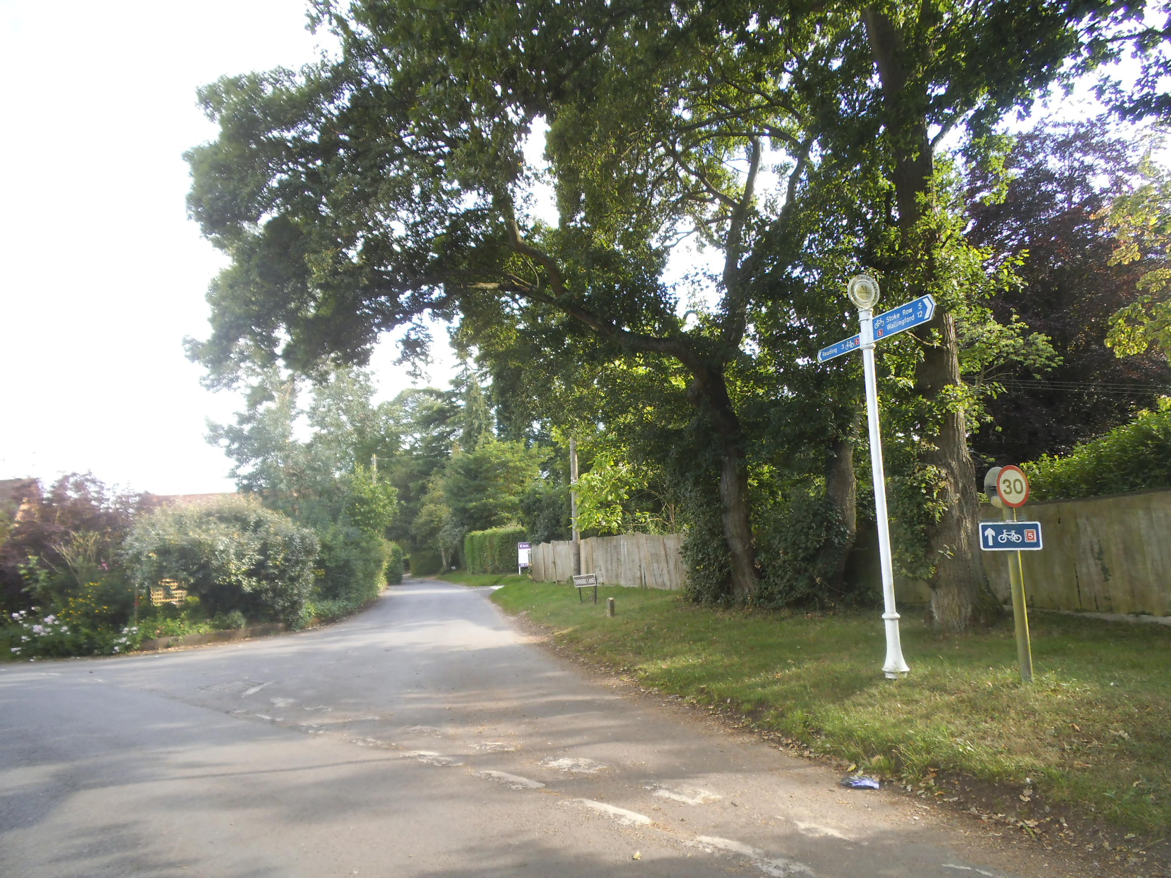
Despite its peaceful rural ambiance, Chalkhouse Green benefits from its close proximity to major towns and cities. The village boasts excellent transport links, with easy access to the M4 motorway, allowing residents to conveniently reach nearby Reading and other surrounding areas.

Chalkhouse Green is a close-knit community, with a small population that enjoys a strong sense of community spirit. The village is home to a number of traditional cottages, reflecting its historic roots, as well as more modern properties.

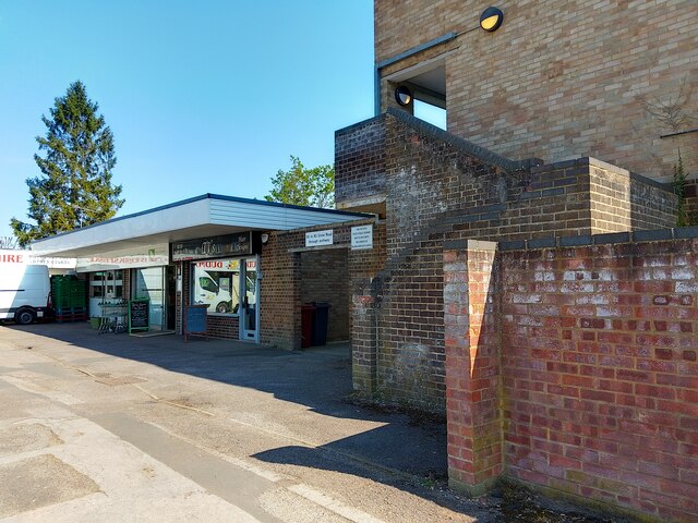
Although Chalkhouse Green does not have its own primary school or shops, there are several amenities nearby, making it a convenient place to live. The village is also within reach of excellent schools and a range of shopping and leisure facilities in the surrounding towns.

Overall, Chalkhouse Green offers a peaceful and picturesque place to call home, with its stunning natural surroundings, easy access to larger towns, and a strong sense of community.

If you have any feedback on the listing, please let us know in the comments section below.

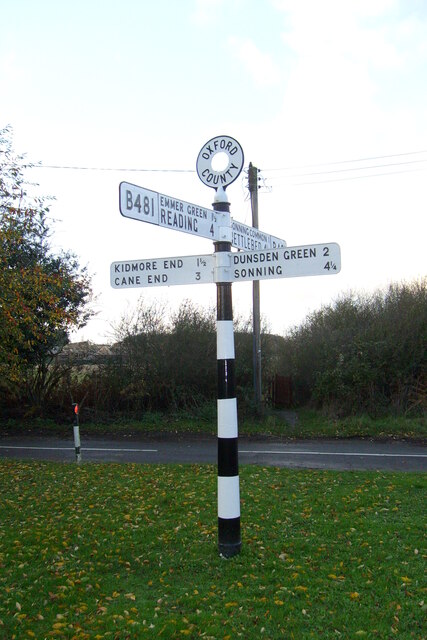
Chalkhouse Green Images

Images are sourced within 2km of 51.499637/-0.973937 or Grid Reference SU7178. Thanks to Geograph Open Source API. All images are credited.

Direction Sign – Signpost on the B481, Sonning Common Located on the southwest side of the crossroads of the B481 Peppard Road and Bird in Hand Lane, opposite The Bird in Hand public house in Sonning Common parish. 4 arms and annulus finial. See also <a title="https://www.geograph.org.uk/photo/4070130" href="https://www.geograph.org.uk/photo/4070130">Link</a> and <a title="https://www.geograph.org.uk/photo/4070122" href="https://www.geograph.org.uk/photo/4070122">Link</a>.

Milestone Society National ID: OX_SU7179
Direction Sign – Signpost on the B481, Sonning Common
Located on the southwest side of the crossroads of the B481 Peppard Road and Bird in Hand Lane, opposite The Bird in Hand public house in Sonning Common parish. 4 arms and annulus finial. See also Link and Link. Milestone Society National ID: OX_SU7179
Farmland, Binfield Heath The footpath between Bishopsland and Crowsley follows the edge of this field of barley.
Farmland, Binfield Heath
The footpath between Bishopsland and Crowsley follows the edge of this field of barley.
Caversham Park, Reading Houses on Fraser Avenue are viewed from Abingdon Drive near the northern edge of the housing estate.
Caversham Park, Reading
Houses on Fraser Avenue are viewed from Abingdon Drive near the northern edge of the housing estate.
Farmland, Dunsden
Farmland, Dunsden
Farmland, Kidmore End
Farmland, Sonning Common
Farmland, Dunsden
Farmland, Dunsden
Ploughing the headland, Sonning Common Looking north-east from Peppard Road towards the corner of Young Wood.
Ploughing the headland, Sonning Common
Looking north-east from Peppard Road towards the corner of Young Wood.
Ploughing the headland, Sonning Common Looking north-east from Peppard Road towards the corner of Young Wood.
Ploughing the headland, Sonning Common
Looking north-east from Peppard Road towards the corner of Young Wood.
Driveway to Reading Abbey Rugby Club
Rugby pitches, Reading Abbey Rugby Club
Oak trees on Peppard Road, Emmer Green Looking north from the entrance to Rosehill Park.
Oak trees on Peppard Road, Emmer Green
Looking north from the entrance to Rosehill Park.
Trees lining Peppard Road, Emmer Green Looking south along the access road from Rosehill Park.
Trees lining Peppard Road, Emmer Green
Looking south along the access road from Rosehill Park.
65 to 83 Grove Road entrance The entrance to 65 to 83 Grove Road in Reading, through an archway and up a set of stairs. The block of flats is next to a small row of shops.
65 to 83 Grove Road entrance
The entrance to 65 to 83 Grove Road in Reading, through an archway and up a set of stairs. The block of flats is next to a small row of shops.
Farmland, Kidmore End With cut hay in the dry valley between Tokers Green and Chalkhouse Green.
Farmland, Kidmore End
With cut hay in the dry valley between Tokers Green and Chalkhouse Green.
Looking North East
Looking North East
Crowsley Park
Crowsley Park
Blackmore Lane Blackmore Lane by Pond Farm
Blackmore Lane
Blackmore Lane by Pond Farm
Show me another place!

Chalkhouse Green is located at Grid Ref: SU7178 (Lat: 51.499637, Lng: -0.973937)

Administrative County: Oxfordshire

District: South Oxfordshire

Police Authority: Thames Valley

What 3 Words

///quiet.figure.train. Near Sonning Common, Oxfordshire

Related Wikis

Chalkhouse Green

Chalkhouse Green is a village in Oxfordshire, England. The village is approximately 3 miles (4.8 km) north of Reading, at an average elevation of 83 metres...

Kidmore House

Kidmore House is a Grade II* listed stately home in the village of Kidmore End, in Oxfordshire, England.It was built in 1680 and is described by Historic...

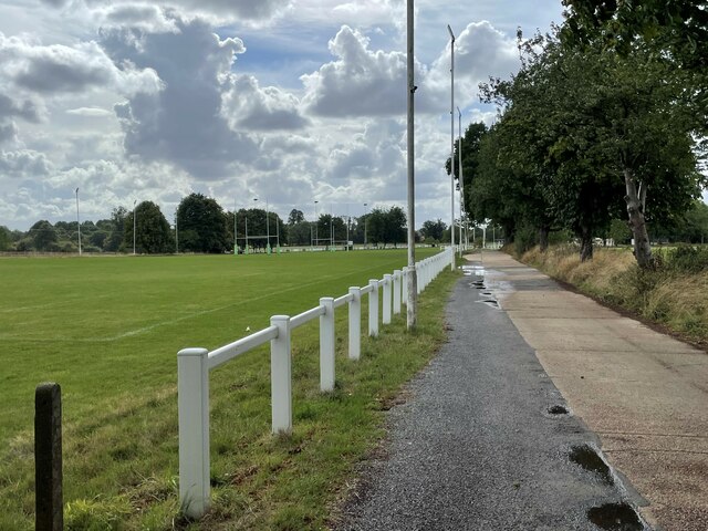
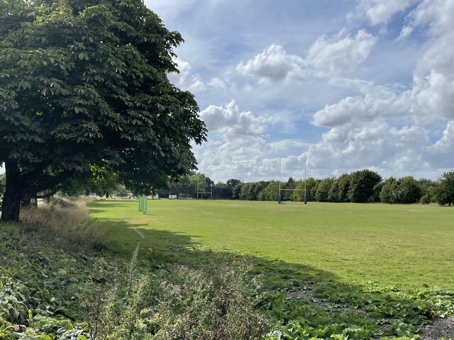
Reading Abbey R.F.C.

Reading Abbey R.F.C is an English rugby union club. Although the club is named after, and historically connected with, the Berkshire town of Reading, it...

Sonning Common

Sonning Common is a village and civil parish in a relatively flat, former common land part of the Chiltern Hills in South Oxfordshire, centred 3.5 miles...

Clayfield Copse

Clayfield Copse is a local nature reserve on the northern edge of the suburb of Caversham in Reading, UK. The site is 8.65 hectares (21.4 acres) in size...

Emmer Green (Hanover) Chalk Mine

The Emmer Green (Hanover) Chalk Mine is an extensive abandoned subterranean chalk mine at Emmer Green, north of Reading in Berkshire, located just north...

Kidmore End

Kidmore End is a village and civil parish in South Oxfordshire, centred 6 miles (10 km) NNW of Reading, Berkshire, an important regional centre of commerce...

1947 Thames flood

The 1947 Thames flood was the most severe flood of the River Thames in the 20th century, affecting much of the Thames Valley as well as elsewhere in England...

Nearby Amenities

Located within 500m of 51.499637,-0.973937
Barrier: kissing_gate
Foot: yes
Lat/Long: 51.5016035/-0.9738557
Post Box
Collection Times: Mo-Fr 16:00; Sa 09:00
Operator: Royal Mail
Post Box Mounting: wooden_post
Post Box Type: lamp
Ref: RG4 466
Royal Cypher: EIIR
Royal Cypher Wikidata: Q33102113
Lat/Long: 51.4972089/-0.9795581
Telephone
Booth: K6
Covered: booth
Operator: BT
Phone: +44 1189 723875
Lat/Long: 51.4972047/-0.9795936
Barrier: kissing_gate
Foot: yes
Lat/Long: 51.5005668/-0.976365
Natural: sinkhole
Lat/Long: 51.4993242/-0.9702537
The data included in this document is from www.openstreetmap.org. The data is made available under ODbL.

Have you been to Chalkhouse Green?

Leave your review of Chalkhouse Green below (or comments, questions and feedback).